Indian Lagoon: depth, boat ramps and water quality
Boat: 1 ramp or launch on file for this water.
Start here: Launch at Indian Pass Beach Public Boat Ramp, 1 lane, concrete.
The estuary
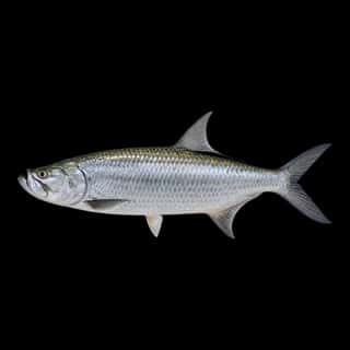
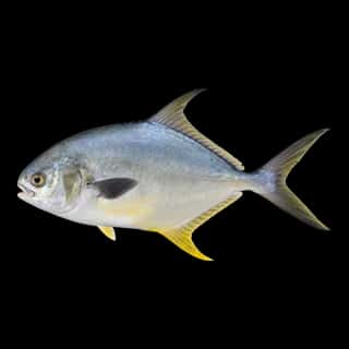
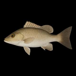
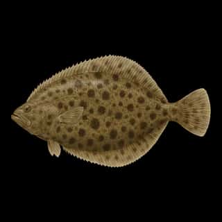
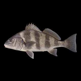
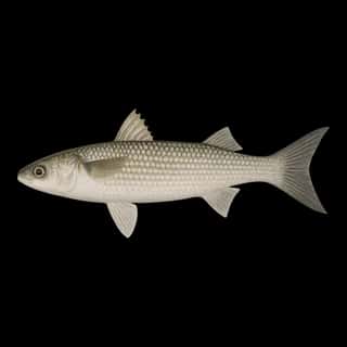
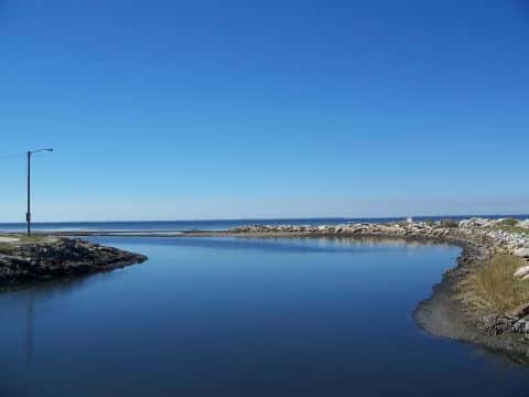
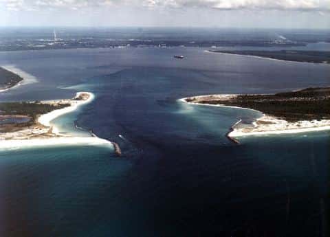
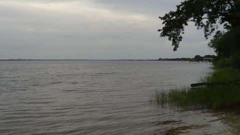
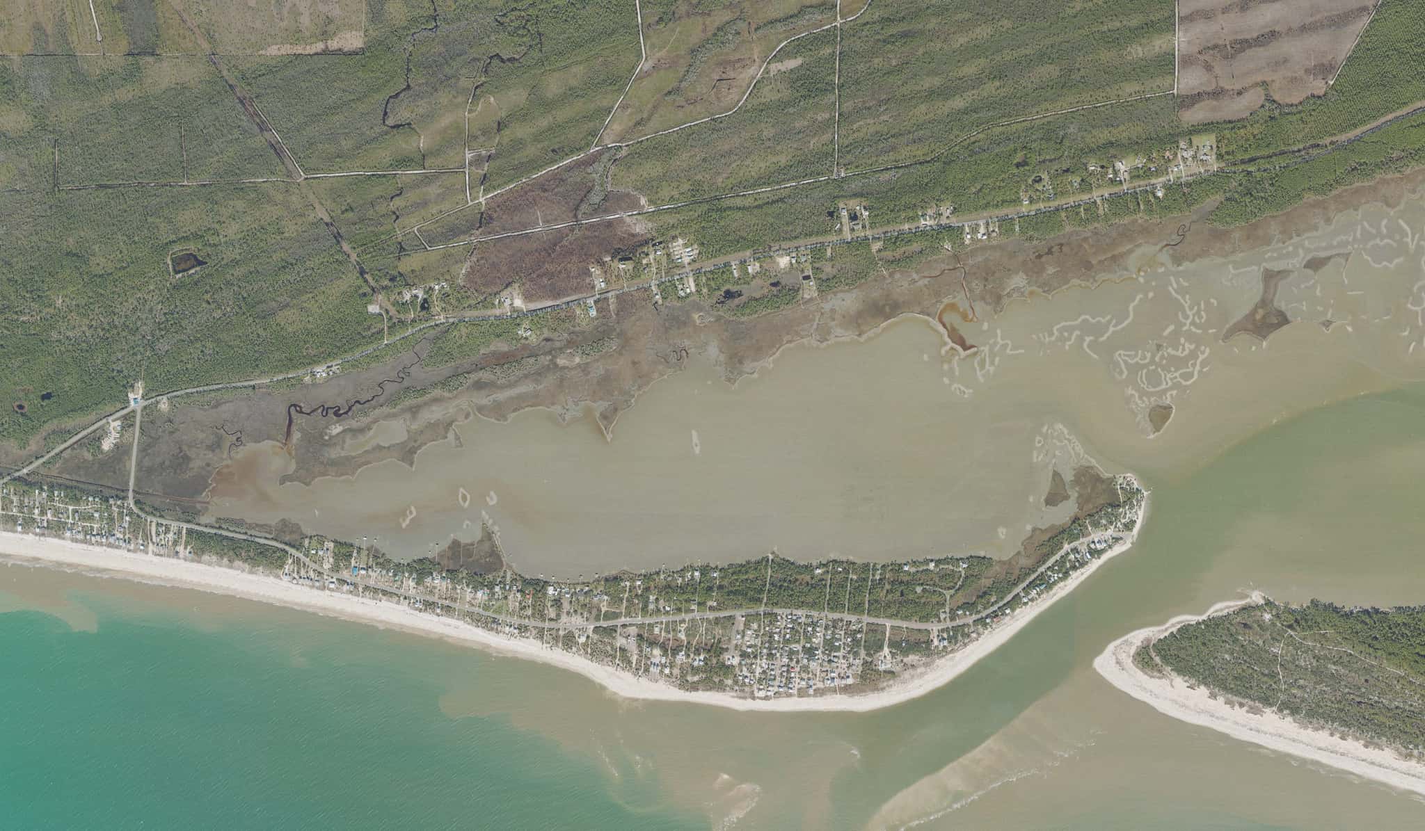
Indian Lagoon covers 682 acres in Florida, across 2 counties: Gulf and Franklin. It is an estuary: the deepest point measured is 4.8 feet (1.5 m). Our records hold 11 species for this water.
Depth: down to 4.8 ft at the deepest measured point
Deepest measured point: 4.8 ft (1.5 m). We hold 58 depth contours for this water, drawn from 17 soundings.
Water and conditions
Water temperature averages 73°F across the year. The coldest single reading we hold is 48°F and the warmest is 88°F; the warmest monthly average is 86°F. pH averages 7.8. These readings span 2016–2017. The latest reading is from 2017, more than three years ago: read these numbers as history, not as the water today.
Monthly average water temperature: Jan 65°F · Feb 66°F · Mar 70°F · Apr 73°F · May 77°F · Jun 81°F · Jul 86°F · Aug 84°F · Sep 83°F · Oct 75°F · Nov 70°F · Dec 55°F
1 ramp or launch on this water
On this water we hold 1 trailer ramp.
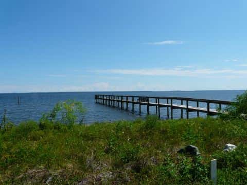
- Indian Pass Beach Public Boat Ramp — 1 lane, concrete, parking for 7 trailers (firm unpaved), no fee, open around the clock, flush restrooms, dock, lit for night fishing. Port Saint Joe, Gulf County. East end of Indian Pass Road (State Highway 30-B), Port Saint Joe 32456 · website visitgulf.com/boatramps
Our ramp table for this water is not complete: there may be more.
What is hard here
Only 1 public ramp is on file, so the launch decides where you fish. Winter water drops to 55°F, and the warm-water species stop feeding well before you do. Summer water sits at 86°F: heat and afternoon lightning are the real risks, not the fishing.
Where this data comes from
- NOAA BlueTopo: class A, a survey of the bottom.
- NOAA National Bathymetric Source (S-102 ed3.0.0) — NOAA S-102 bathymetric surfaces: contours: class A, a survey of the bottom.
- NOAA ENC — NOAA Electronic Navigational Charts: soundings: class A, a survey of the bottom.
- NOAA Digital Coast — NOAA Digital Coast bathymetric lidar: class A, a survey of the bottom, 1983.
- NOAA ENC — NOAA Electronic Navigational Charts: depth contours: class A, a survey of the bottom.