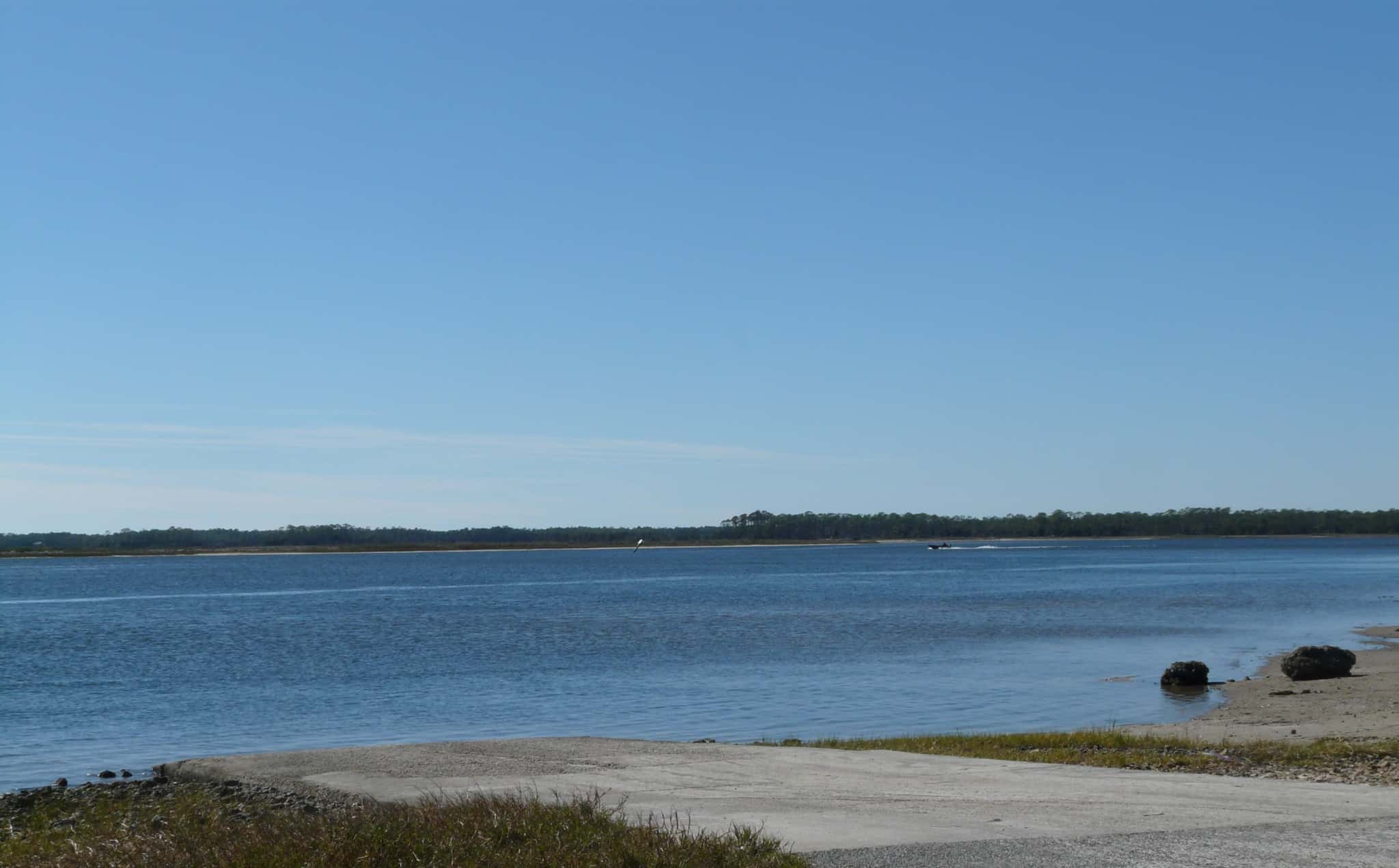
Dickerson Bay: depth and boat ramps
Boat: 2 ramps and launches on file for this water.
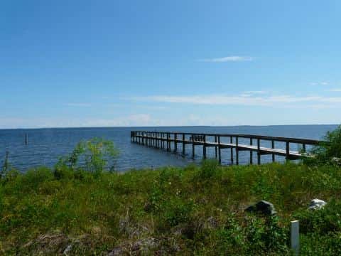
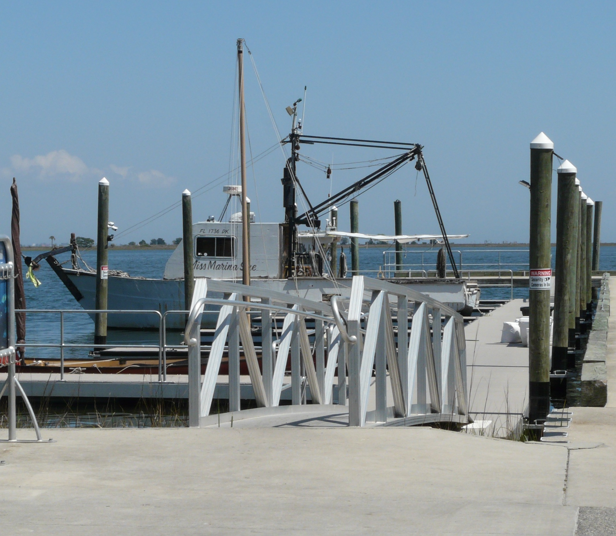
Start here: Launch at Rock Landing Boat Ramp and Pier at Panacea, 2 lanes, concrete.
The estuary
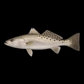
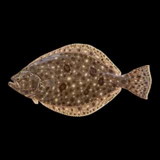
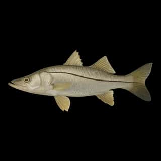
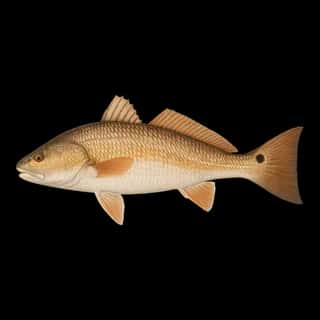
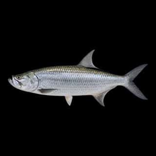
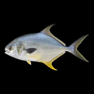
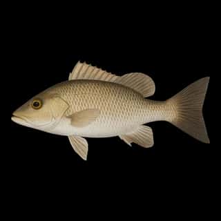
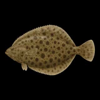
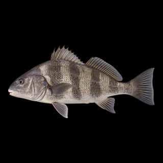
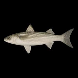
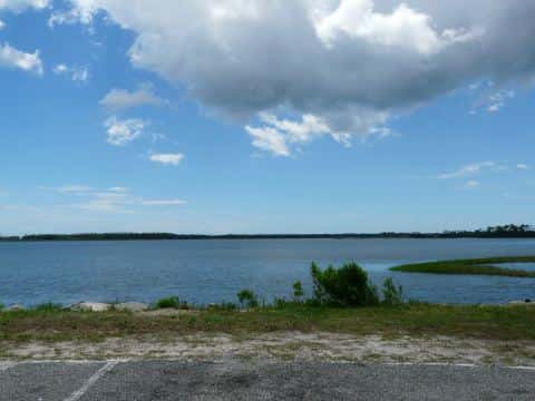
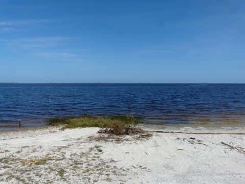
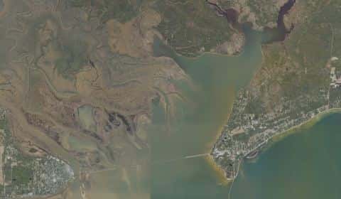
Dickerson Bay covers 497 acres in Florida, across Wakulla County. It is an estuary: the deepest point measured is 11.2 feet (3.4 m). Our records hold 11 species for this water.
Depth: down to 11.2 ft at the deepest measured point
Deepest measured point: 11.2 ft (3.4 m). We hold 4 depth contours for this water, drawn from 226 soundings.
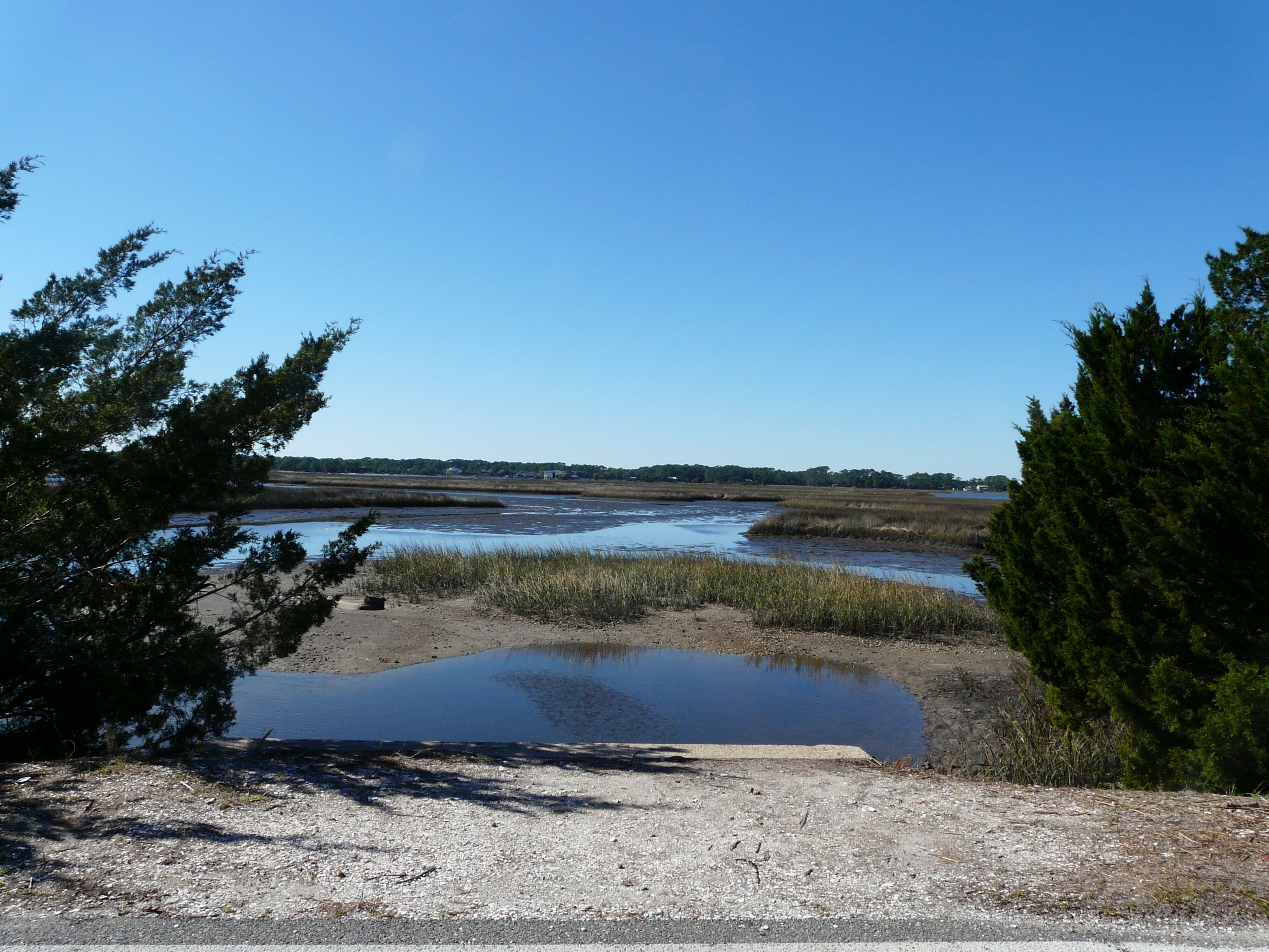
2 ramps and launches on this water
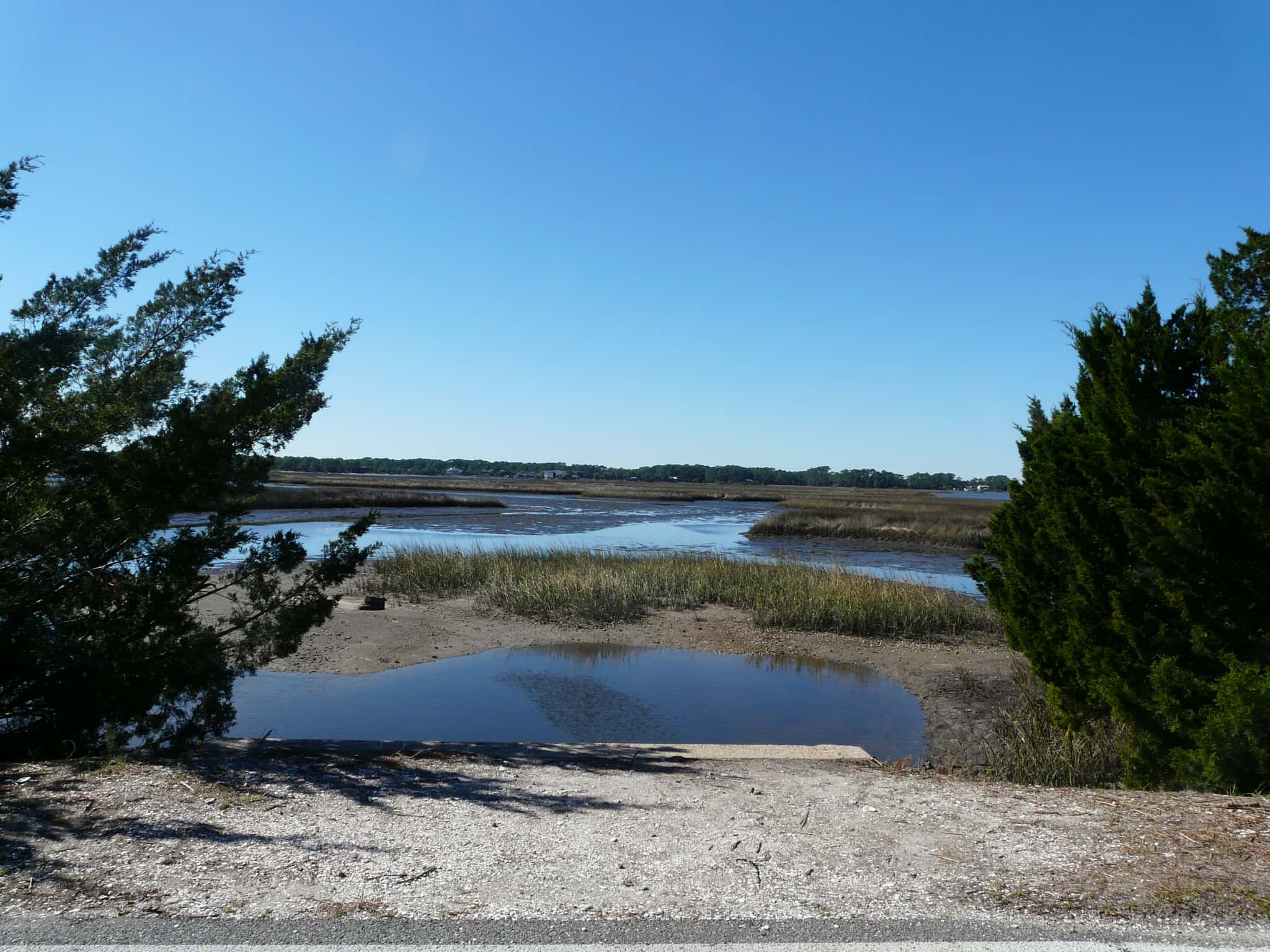
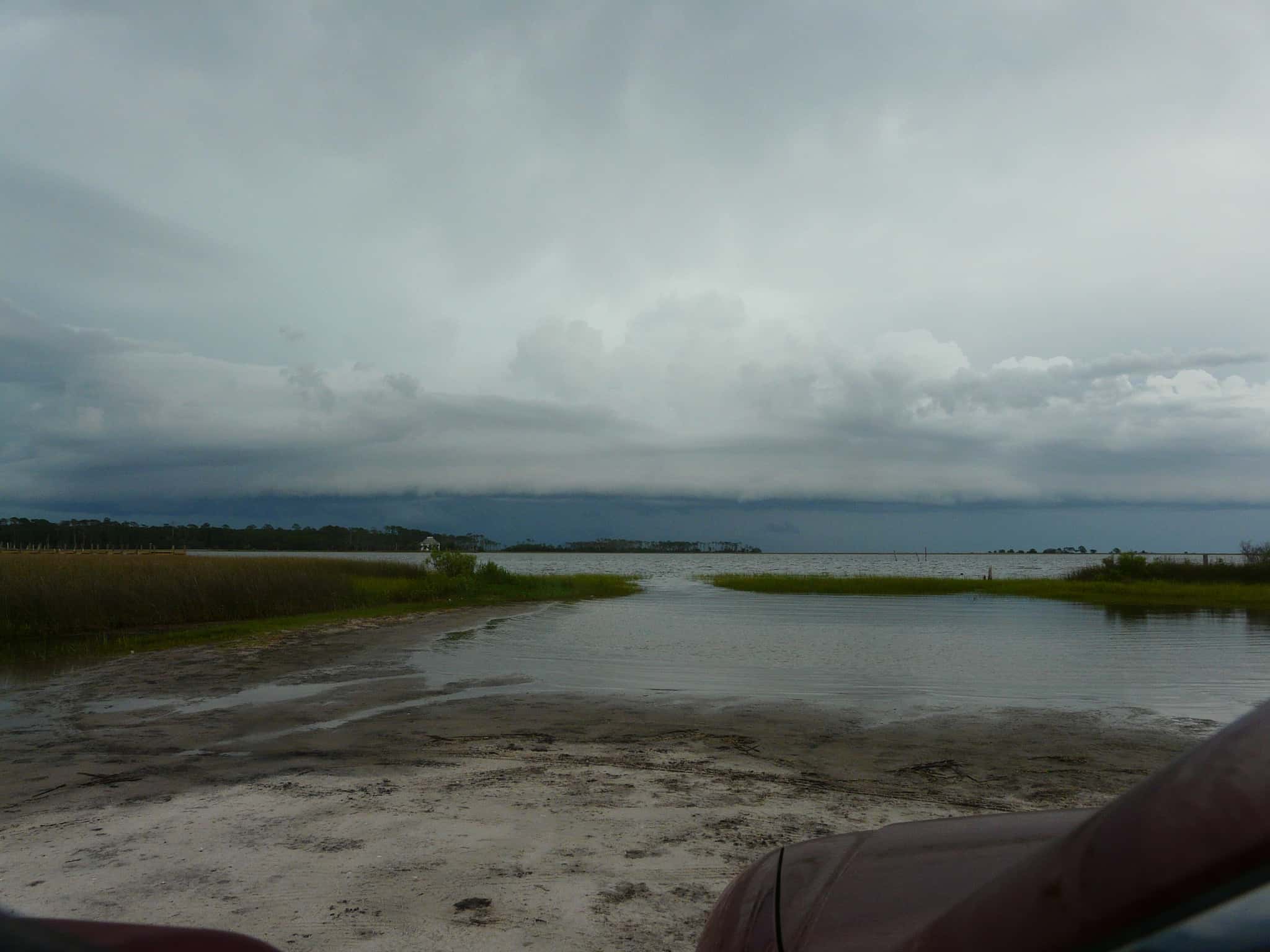
On this water we hold 1 trailer ramp, 1 hand launch and 1 fishing pier.
- Rock Landing Boat Ramp and Pier at Panacea — 2 lanes, concrete, parking for 13 trailers (firm unpaved), paid, open around the clock, dock. Panacea, Wakulla County. 99 Rock Landing Street, Panacea 32346 · website mywakulla.com/departments/parks/boat_ramps/index.php
Car-top and kayak launches — no trailer
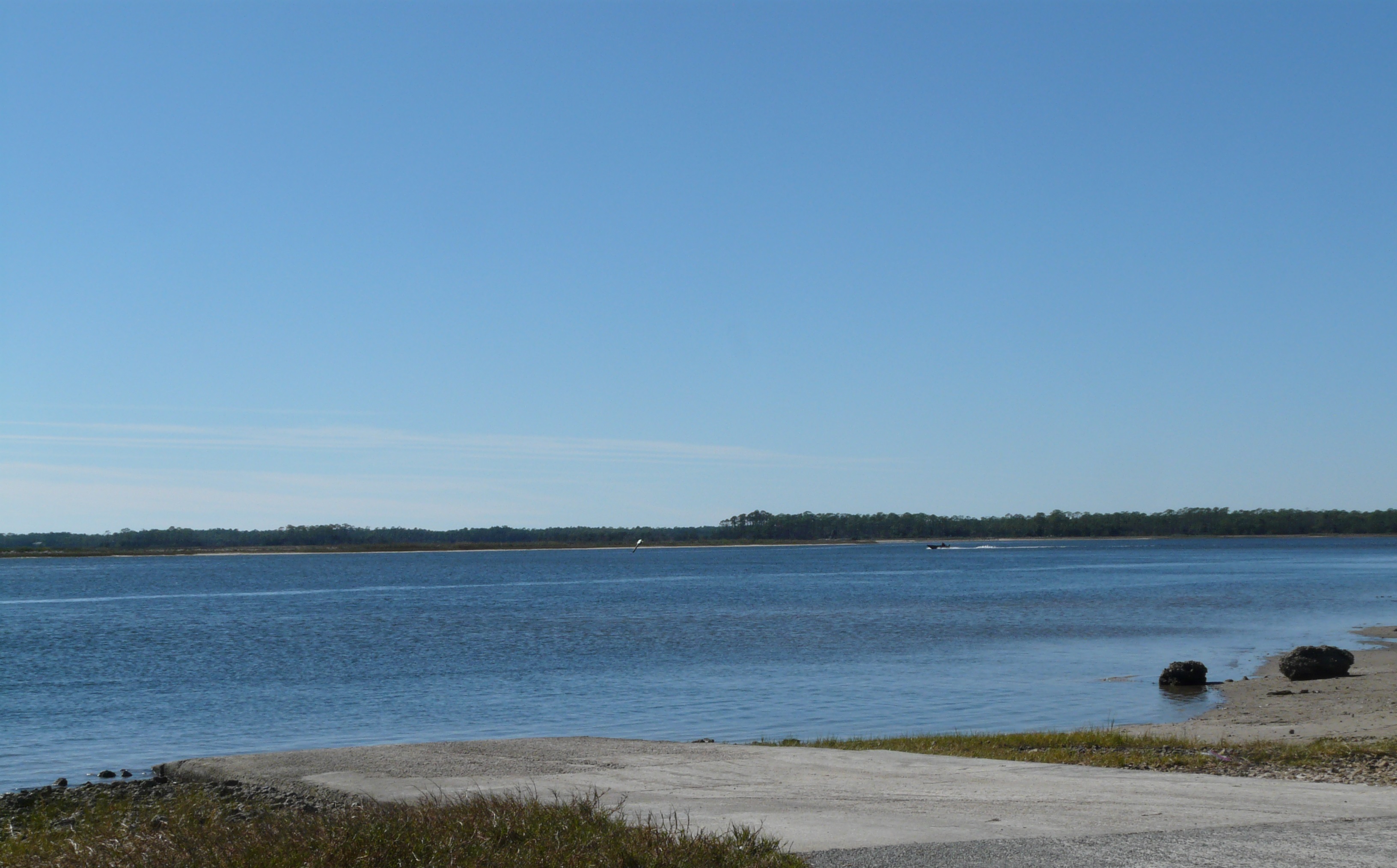
- Wakulla Welcome Center Kayak Launch — hand launch. Panacea, Wakulla County Chamber of Commerce. 1493 Coastal Highway, Panacea 32346
Fishing piers
- Wooly Park Fishing Pier — no fee, daylight hours. Panacea, Wakulla County. 48 Mound St., Panacea 32346
Only one of the 3 places listed has both a fee and opening hours on file: a blank means we hold no such field, not that it is free or always open, and this list may not be complete.
What is hard here
Only 2 public ramps are on file, so the launch decides where you fish.
Where this data comes from
- USACE eHydro — USACE eHydro channel surveys: class A, a survey of the bottom.
- NOAA BlueTopo: class A, a survey of the bottom.
- NOAA National Bathymetric Source (S-102 ed3.0.0) — NOAA S-102 bathymetric surfaces: contours: class A, a survey of the bottom.
- NOAA ENC — NOAA Electronic Navigational Charts: soundings: class A, a survey of the bottom.