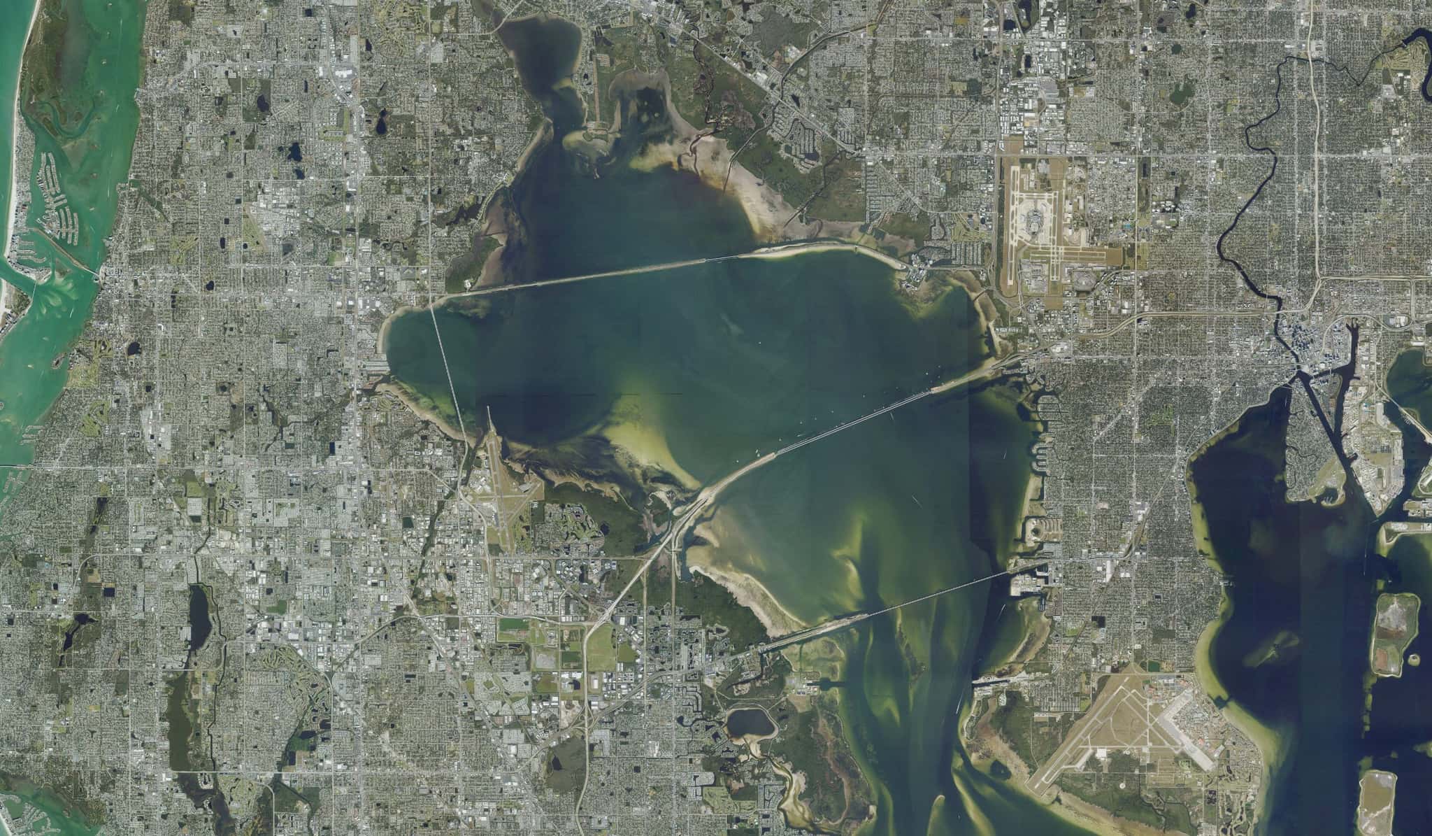
Old Tampa Bay: depth, boat ramps and water quality
Boat: 21 ramps and launches on file for this water.
Start here: Launch at Salty Sol Fleishman - Gandy Boulvard Public Boat Ramp, 6 lanes, concrete.
The estuary
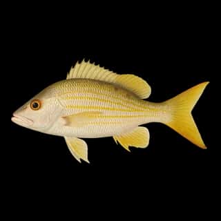
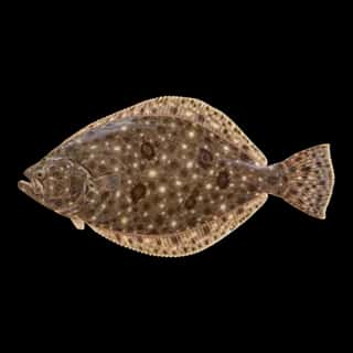
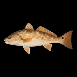
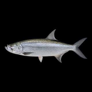
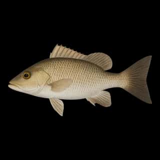
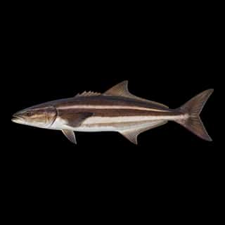
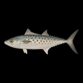
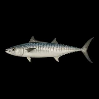
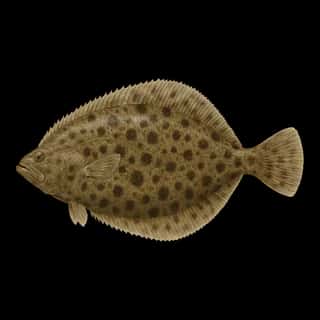
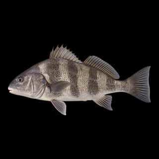
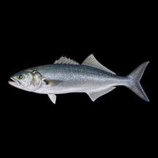
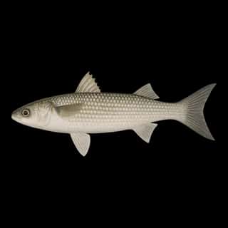
Old Tampa Bay covers 53,947 acres in Florida, across 2 counties: Pinellas and Hillsborough. It is an estuary: the deepest point measured is 93.2 feet (28.4 m). Our records hold 17 species for this water.
Depth: down to 93.2 ft at the deepest measured point
Deepest measured point: 93.2 ft (28.4 m). We hold 25 depth contours for this water, drawn from 113,712 soundings.
21 ramps and launches on this water
On this water we hold 11 trailer ramps, 1 boat ramp, 9 hand launches and 10 fishing piers.
- Salty Sol Fleishman - Gandy Boulvard Public Boat Ramp — 6 lanes, concrete, parking for 90 trailers (paved), paid, open around the clock, flush restrooms, dock, lit for night fishing, restrooms, wheelchair access. Tampa, Hillsborough County. 5108 Gandy Boulevard, Tampa 33611 · website hillsboroughcounty.org/en/locations/gandy-boat-ramp
- Courtney Campbell Causeway Public Boat Ramp — 4 lanes, concrete, parking for 19 trailers (paved), paid, open around the clock, dock. Tampa, Hillsborough County. 12030 Courtney Campbell West, Tampa 33607 · website hillsboroughcounty.org/en/locations/courtney-campbell-boat-ramp
- Philippe Park - Boat Ramp — 1 lane, concrete, parking for 29 trailers (paved), paid, daylight hours, flush restrooms, dock, restrooms. Safety Harbor, Pinellas County. 2525 Philippe Parkway, Safety Harbor 34695 · website pinellascounty.org/park/11_philippe.htm
- Picnic Island Park - Public Boat Ramp — 2 lanes, concrete, parking for 13 trailers (paved), no fee, open around the clock, portable restrooms, dock, lit for night fishing. Tampa, City of Tampa. 7409 Picnic Island Boulevard, Tampa 33616
- Mobbly Bayou Wilderness Preserve - Oldsmar Park — 1 lane, concrete, parking for 8 trailers (soft unpaved), no fee, dock. Oldsmar, City of Oldsmar. National Orange Drive, Oldsmar 34677
- Sunlit Cove Park — 1 lane, concrete, parking for 8 trailers (paved), no fee, dock. Saint Petersburg. 228 SUNLIT COVE DRIVE NE, Saint Petersburg 33702 · website stpeteparksrec.org/boatramps
- Cliff Stephens Park (No Gas Motors) — 1 lane, sand, parking for 4 trailers (paved), portable restrooms, needs repair. Clearwater, City of Clearwater. 600 Fairwood Avenue, Clearwater 33759 · website swfwmd.state.fl.us/recreation/cliff-stephens-park
- St. Pete - 4th Street North Undeveloped Launch Site — 1 lane, sand, parking for 8 trailers (firm unpaved), open around the clock, needs repair. Saint Petersburg, Florida Department of Transportation. 4th Street North, Saint Petersburg 33716
- Gandy Wayside Park (Bad Condition - Small Boats Only) — 2 lanes, parking for 12 trailers (paved), no fee, open around the clock, needs repair. Saint Petersburg, Florida Department of Transportation. Pinellas side of the Gandy Causeway, at the south radio tower, Saint Petersburg 33702
- Upper Tampa Bay Park - State Street Primitive Boat Launch (Small Boats Only) (Not Recommended) — 1 lane, parking for 3 trailers (soft unpaved), no fee, needs repair. Tampa, Hillsborough County. End of State Street, Tampa 33635
Car-top and kayak launches — no trailer
- Cooper's Bayou Park Canoe Launch — hand launch, concrete, parking for 16 cars, no fee. Clearwater, City of Clearwater. 709 Bayshore Boulevard, Clearwater 33759 · phone (727) 562-4800 · website myclearwater.com/Home/Components/FacilityDirectory/FacilityDirectory/366/1003?npage=3
- Cyoress Point Park Paddlecraft Launch — hand launch, sand, no fee. Tampa, City of Tampa. 5620 West Cypress Street, Tampa 33607
- Gandy Causeway Wayside Beach Paddlecraft Access Points — hand launch. Saint Petersburg, Pinellas County.
- Mobly Bayou Wilderness Preserve - Bicentennial Park Kayak Dock & Beach — hand launch. Oldsmar, City of Oldsmar.
- Picnic Island Park - Bayside Paddlecraft Launch Beach — hand launch, sand, parking for 30 cars, no fee, daylight hours, flush restrooms. Tampa, City of Tampa. 7409 Picnic Island Boulevard, Tampa 33616
- Picnic Island Park - Mangrove Tunnel Kayak Launch Beach — hand launch, dirt, parking for 5 cars, no fee, daylight hours, flush restrooms. Tampa, City of Tampa. 7409 Picnic Island Boulevard, Tampa 33616
- Weedon Island Preserve - Paddlecraft Launch — hand launch, no fee, daylight hours. Saint Petersburg, Pinellas County. website weedonislandpreserve.org
- Mobbly Beach Park Kayak Launch — hand launch, sand, parking for 42 cars, paid, daylight hours, flush restrooms. Oldsmar, City of Oldsmar. 807 Shore Drive East, Oldsmar 34677
Fishing piers
- Ballast Point Park — no fee, daylight hours, lit for night fishing, fish-cleaning table, bait and tackle on site, restrooms, drinking water, monofilament recycling bin, wheelchair access. Tampa, City of Tampa. 5300 Interbay Blvd., Tampa 33611
- Chautauqua Park East — no fee, open 7am–7pm, wheelchair access. Clearwater, City of Clearwater. 2312 Landmark Dr., Clearwater 33759
- Cliff Stevens Park — no fee, open 6am–10pm. Clearwater, City of Clearwater. 600 Fairwood Ave., Clearwater 33759
- Freedon Lake Park — no fee, daylight hours, restrooms, drinking water, wheelchair access. Pinellas Park, City. 9990 46th Street N., Pinellas Park 33781
- Kapok Park — no fee, open 7am–8:30pm. Clearwater, City of Clearwater. 2950 Glen Oak Ave N, Clearwater 33759
- Mobley Bayou Preserve — no fee, open 6am–6pm. Oldsmar, City of Oldsmar. 423 Lafayette Blvd., Oldsmar 34677
- Picnic Island Fishing Pier — no fee, daylight hours, lit for night fishing, fish-cleaning table, restrooms, drinking water, boat dock, wheelchair access. Tampa, City of Tampa. 7404 Picnic Island Blvd., Tampa 33616
- R.E. Olds Park — no fee, open 6am–11pm, restrooms, drinking water, wheelchair access. Oldsmar, City of Oldsmar. 107 Shore Drive West, Oldsmar 34677
13 of the 26 places listed have both a fee and opening hours on file: a blank means we hold no such field, not that it is free or always open, and this list may not be complete.
Water and conditions
Water clarity runs 2.1–8.2 feet on our readings, averaging 4.9 feet, from 3,976 readings. Water temperature averages 78°F across the year. The coldest single reading we hold is 53°F and the warmest is 98°F; the warmest monthly average is 87°F. pH averages 8. These readings span 2016–2025.
Monthly average water temperature: Jan 64°F · Feb 66°F · Mar 73°F · Apr 75°F · May 81°F · Jun 85°F · Jul 87°F · Aug 87°F · Sep 85°F · Oct 80°F · Nov 75°F · Dec 68°F
What is hard here
Wind is the limit, not the fish: 53,947 acres of open water build a short steep chop, and there is no shelter in the middle. Clarity swings from 2.1 to 8.2 feet between our readings — the water you meet is not the water someone photographed. Summer water sits at 87°F: heat and afternoon lightning are the real risks, not the fishing.
Where this data comes from
- NOAA Digital Coast — NOAA Digital Coast bathymetric lidar: class A, a survey of the bottom, 2019.
- NOAA NOS Hydro — NOAA NOS hydrographic survey archive: class A, a survey of the bottom.
- NOAA BlueTopo: class A, a survey of the bottom.
- NOAA National Bathymetric Source (S-102 ed3.0.0) — NOAA S-102 bathymetric surfaces: contours: class A, a survey of the bottom.
- NOAA ENC — NOAA Electronic Navigational Charts: soundings: class A, a survey of the bottom.
- NOAA ENC — NOAA Electronic Navigational Charts: depth contours: class A, a survey of the bottom.