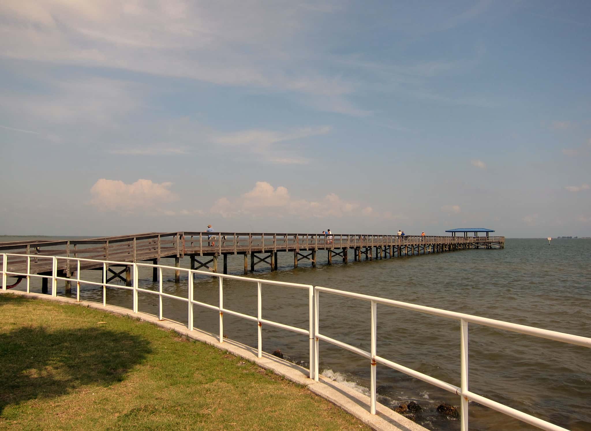
Safety Harbor: depth, boat ramps and water quality
Boat: 3 ramps and launches on file for this water.
Start here: Launch at Philippe Park - Boat Ramp, 1 lane, concrete.
The estuary
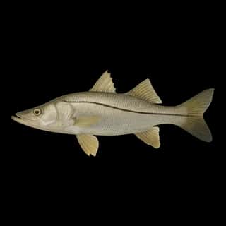
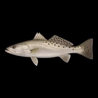
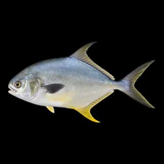
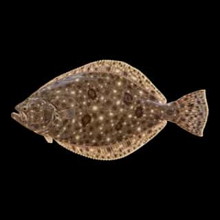
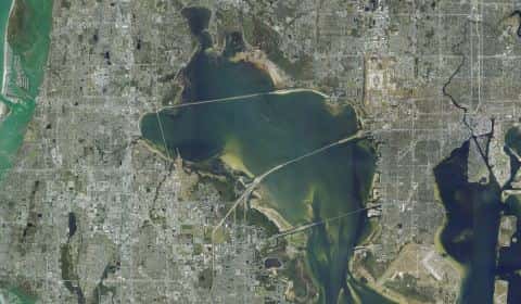
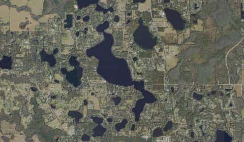
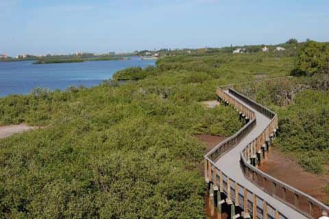
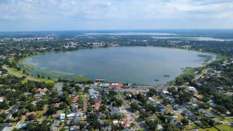
Safety Harbor covers 1,516 acres in Florida, across Pinellas County. It is an estuary: the deepest point measured is 15.7 feet (4.8 m). Our records hold 11 species for this water.
Depth: down to 15.7 ft at the deepest measured point
Deepest measured point: 15.7 ft (4.8 m). We hold 26 depth contours for this water, drawn from 939 soundings.
Water and conditions
Water clarity runs 1.3–4.9 feet on our readings, averaging 2.8 feet, from 120 readings. Water temperature averages 77°F across the year. The coldest single reading we hold is 57°F and the warmest is 90°F; the warmest monthly average is 87°F. pH averages 7.9. These readings span 2016–2025.
Monthly average water temperature: Jan 60°F · Feb 66°F · Mar 74°F · Apr 75°F · May 80°F · Jun 85°F · Jul 83°F · Aug 87°F · Sep 84°F · Oct 77°F · Nov 71°F · Dec 68°F
3 ramps and launches on this water
On this water we hold 2 trailer ramps, 1 hand launch and 1 fishing pier.
- Philippe Park - Boat Ramp — 1 lane, concrete, parking for 29 trailers (paved), paid, daylight hours, flush restrooms, dock, restrooms. Safety Harbor, Pinellas County. 2525 Philippe Parkway, Safety Harbor 34695 · website pinellascounty.org/park/11_philippe.htm
- Mobbly Bayou Wilderness Preserve - Oldsmar Park — 1 lane, concrete, parking for 8 trailers (soft unpaved), no fee, dock. Oldsmar, City of Oldsmar. National Orange Drive, Oldsmar 34677
Car-top and kayak launches — no trailer
- Mobbly Beach Park Kayak Launch — hand launch, sand, parking for 42 cars, paid, daylight hours, flush restrooms. Oldsmar, City of Oldsmar. 807 Shore Drive East, Oldsmar 34677
Fishing piers
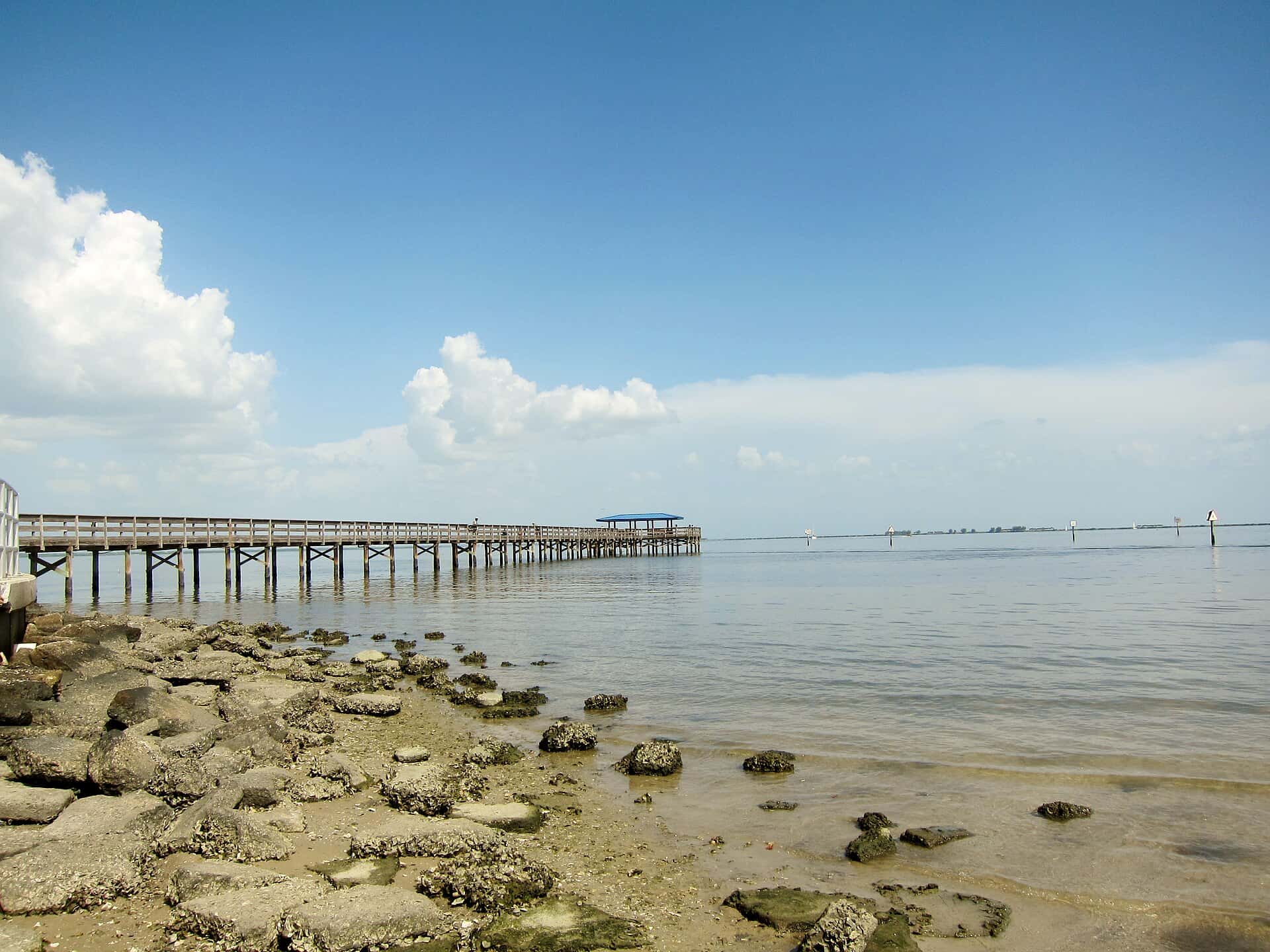
- R.E. Olds Park — no fee, open 6am–11pm, restrooms, drinking water, wheelchair access. Oldsmar, City of Oldsmar. 107 Shore Drive West, Oldsmar 34677
2 of the 4 places listed have both a fee and opening hours on file: a blank means we hold no such field, not that it is free or always open, and this list may not be complete.
What is hard here
Clarity swings from 1.3 to 4.9 feet between our readings — the water you meet is not the water someone photographed. Winter water drops to 60°F, and the warm-water species stop feeding well before you do. Summer water sits at 87°F: heat and afternoon lightning are the real risks, not the fishing.
Where this data comes from
- NOAA Digital Coast — NOAA Digital Coast bathymetric lidar: class A, a survey of the bottom, 2019.
- NOAA BlueTopo: class A, a survey of the bottom.
- NOAA National Bathymetric Source (S-102 ed3.0.0) — NOAA S-102 bathymetric surfaces: contours: class A, a survey of the bottom.
- NOAA ENC — NOAA Electronic Navigational Charts: soundings: class A, a survey of the bottom.
- NOAA ENC — NOAA Electronic Navigational Charts: depth contours: class A, a survey of the bottom.