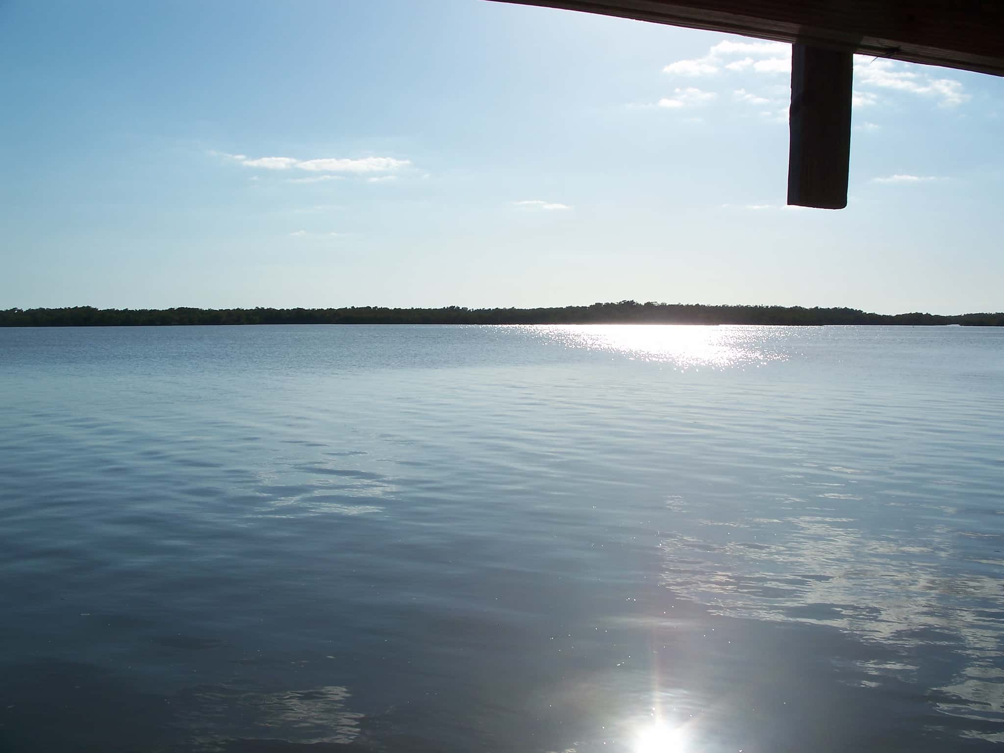
Chokoloskee Bay: depth, boat ramps and water quality
Boat: 6 ramps and launches on file for this water.
Start here: Launch at Everglades Rod & Gun Club Hotel, 2 lanes, concrete.
The estuary
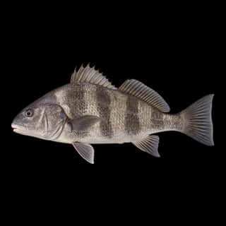
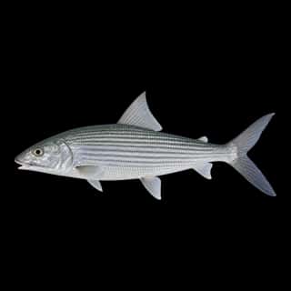
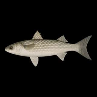
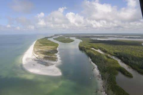
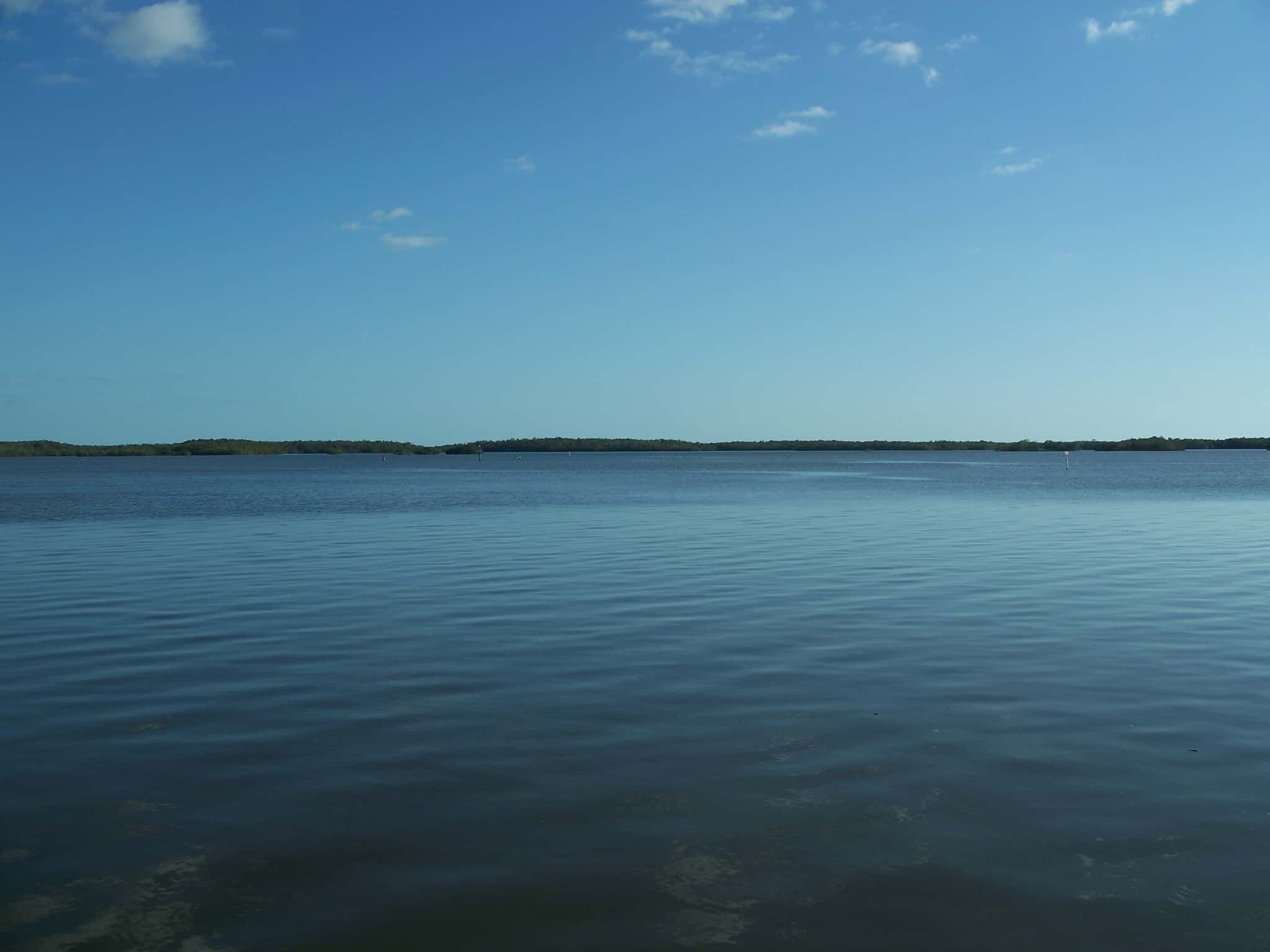
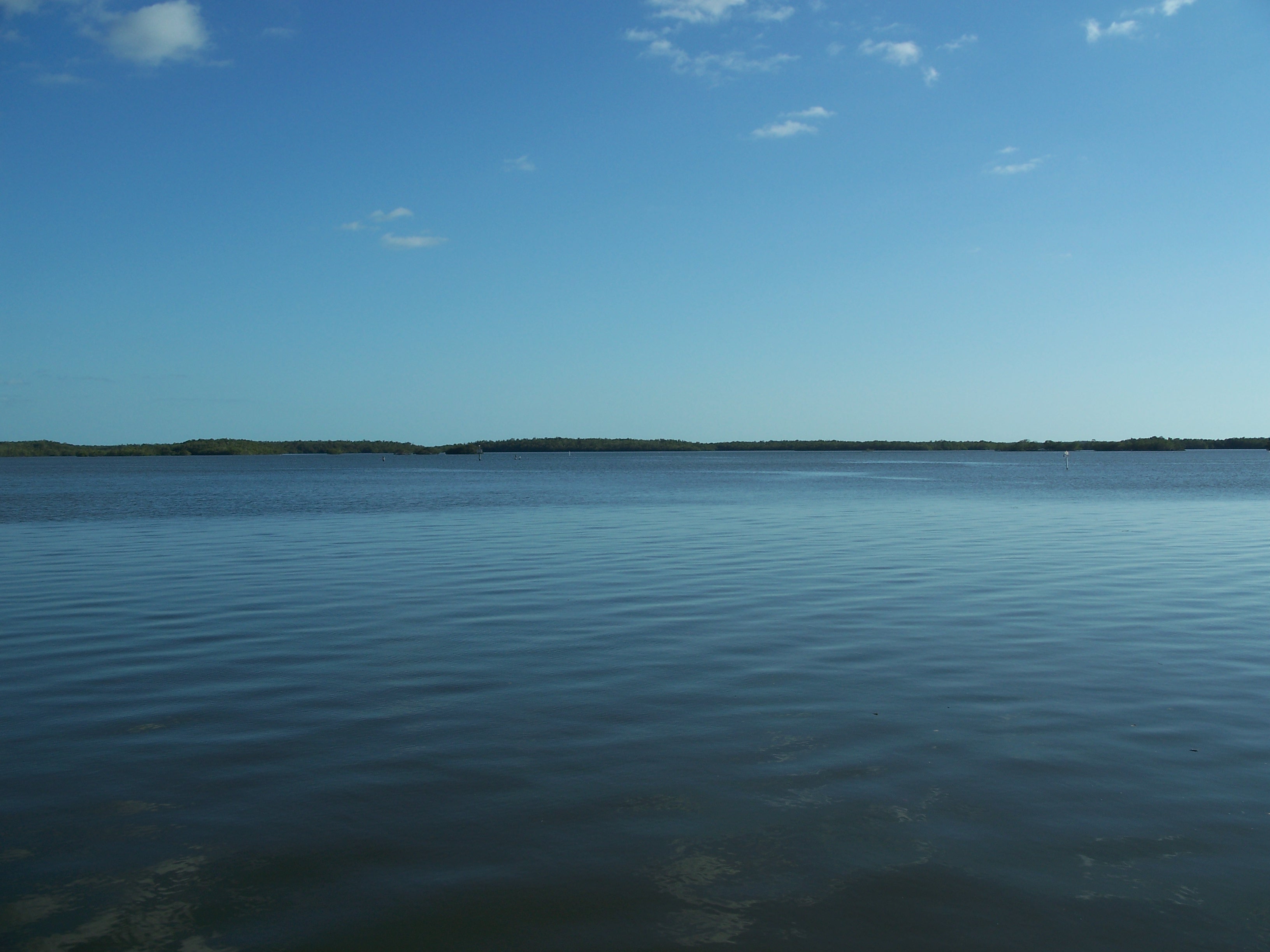
Chokoloskee Bay covers 3,986 acres in Florida, across Collier County. It is an estuary: the deepest point measured is 13.3 feet (4.1 m). Our records hold 12 species for this water.
Depth: down to 13.3 ft at the deepest measured point
Deepest measured point: 13.3 ft (4.1 m). We hold 665 depth contours for this water, drawn from 5,670 soundings.
Water and conditions
Our water temperature readings average 80°F; they do not cover the whole year, so this is not a yearly average. The coldest single reading we hold is 67°F and the warmest is 90°F; the warmest monthly average is 88°F. pH averages 8. These readings span 2016–2019. The latest reading is from 2019, more than three years ago: read these numbers as history, not as the water today.
6 ramps and launches on this water
On this water we hold 4 trailer ramps and 2 hand launches.
- Everglades Rod & Gun Club Hotel — 2 lanes, concrete, parking for 6 trailers (firm unpaved), paid, portable restrooms, dock. Everglades City. 200 Riverside Drive, Everglades City 34139 · website rodandguneverglades.com/home-maple
- Outdoor Resorts of Chokoloskee - Front Marina Boat Ramp — 1 lane, concrete, parking for 16 trailers (firm unpaved), paid, flush restrooms, dock. Chokoloskee. 150 Smallwood Drive, Chokoloskee 34138 · website outdoorresortsofchokoloskee.com/marina.html
- Glades Haven RV Park, Bait and Tackle — 1 lane, concrete, paid, portable restrooms, dock. Everglades City. 801 COPELAND AVENUE, Everglades City 34139
- Chokoloskee Island Park & Marina — 1 lane, open 7am–5pm, restrooms. Chokoloskee, Everglades National Park. 1175 Hamilton Lane, Chokoloskee 34138
Car-top and kayak launches — no trailer
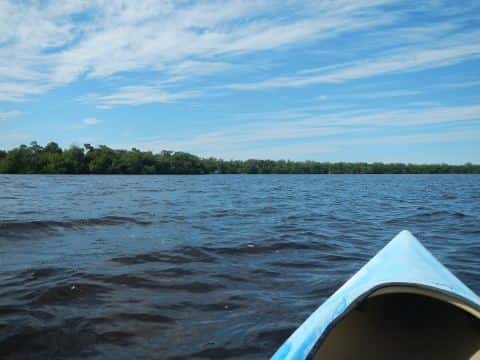
- Everglades National Park - Gulf Coast Visitor Center - Canoe/Kayak Launch — hand launch, concrete, parking for 8 trailers (paved), flush restrooms. Everglades City, United States National Park Service. 815 Oyster Bay Lane, Everglades City 34139 · website nps.gov/ever/planyourvisit/gcdirections.htm
- Outdoor Resorts of Chokoloskee - Kayak/Canoe Beach Ramp — hand launch, gravel, paid, flush restrooms. Chokoloskee. 150 Smallwood Drive, Chokoloskee 34138 · website outdoorresortsofchokoloskee.com/marina.html
3 of the 6 places listed have both a fee and opening hours on file: a blank means we hold no such field, not that it is free or always open, and this list may not be complete.
What is hard here
Only 6 public ramps are on file, so the launch decides where you fish. Summer water sits at 88°F: heat and afternoon lightning are the real risks, not the fishing.
Where this data comes from
- USACE eHydro — USACE eHydro channel surveys: class A, a survey of the bottom.
- NOAA National Bathymetric Source (S-102 ed3.0.0) — NOAA S-102 bathymetric surfaces: contours: class A, a survey of the bottom.
- NOAA BlueTopo: class A, a survey of the bottom.
- NOAA ENC — NOAA Electronic Navigational Charts: soundings: class A, a survey of the bottom.
- NOAA ENC — NOAA Electronic Navigational Charts: depth contours: class A, a survey of the bottom.
- NOAA Digital Coast — NOAA Digital Coast bathymetric lidar: class A, a survey of the bottom, 2019.