Coot Bay: depth and boat ramps
Boat: 1 ramp or launch on file for this water.
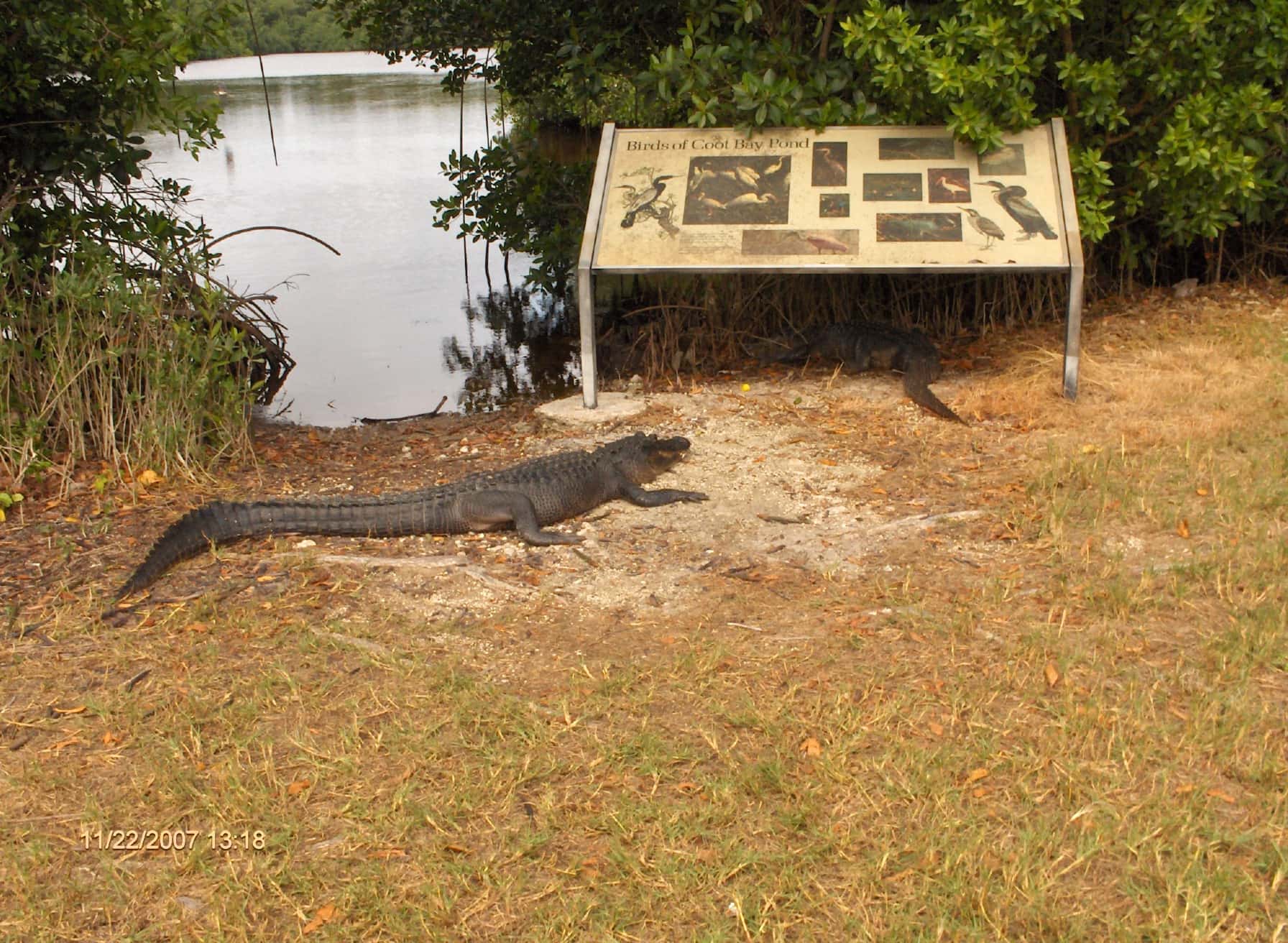
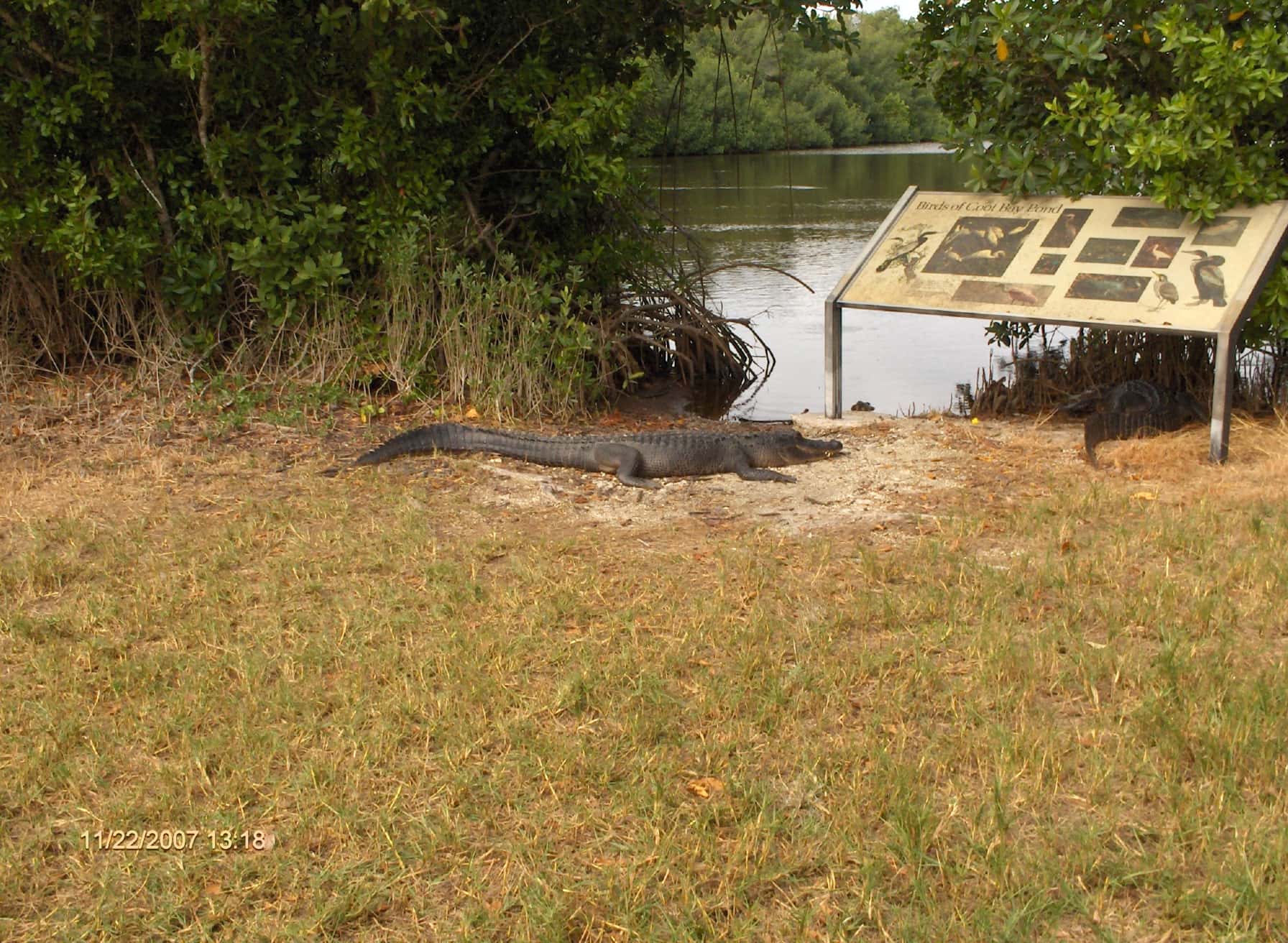
Start here: Launch at Everglades National Park - Coot Bay Pond Canoe Trail, unknown.
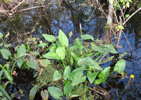
The estuary
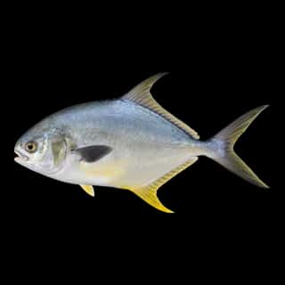
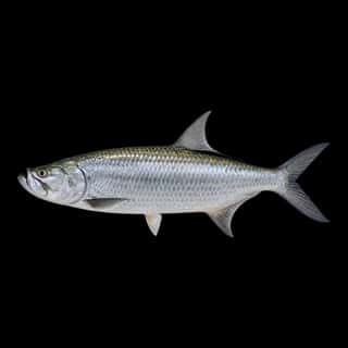
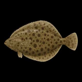
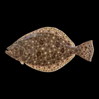
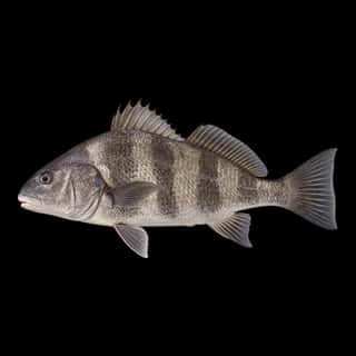
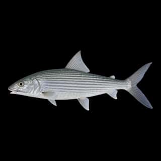
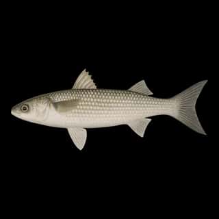
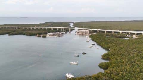
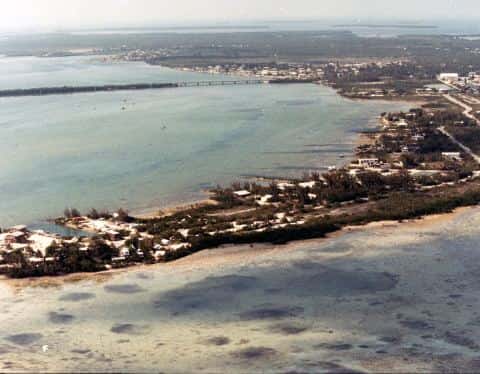
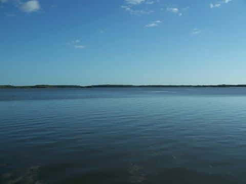
Coot Bay covers 1,107 acres in Florida, across Monroe County. It is an estuary: the deepest point measured is at least 6 feet (1.8 m). Our records hold 8 species for this water.
Depth and bottom
Deepest measured point: at least 6 ft (1.8 m). That is the deepest contour line: the bottom goes deeper. We hold 10 depth contours for this water, drawn from 92 soundings.
1 ramp or launch on this water
On this water we hold 1 hand launch.
Car-top and kayak launches — no trailer
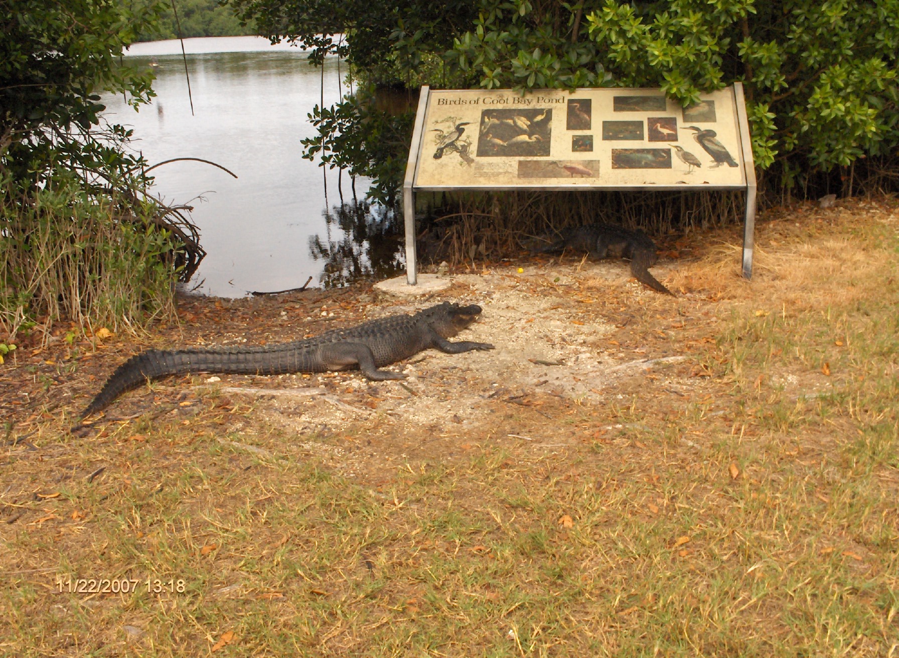
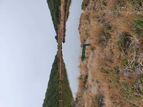
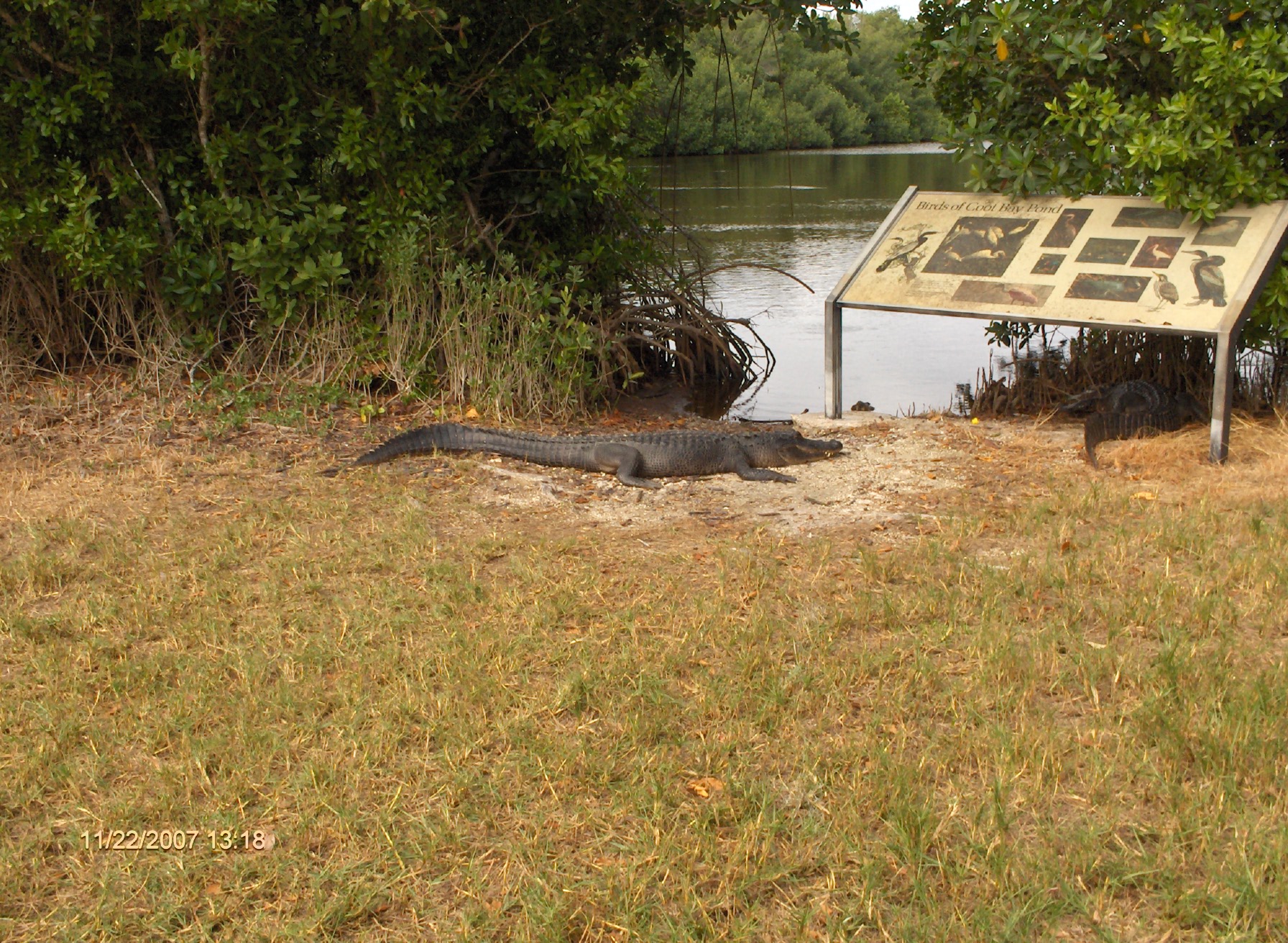
- Everglades National Park - Coot Bay Pond Canoe Trail — hand launch, parking for 6 cars, paid. Homestead, United States National Park Service. Main Park Road - 34 miles past entrance, Homestead 33034 · website nps.gov/ever/planyourvisit/canoe-and-kayak-trails.htm
Our ramp table for this water is not complete: there may be more.
What is hard here
Only 1 public ramp is on file, so the launch decides where you fish.
Where this data comes from
- NOAA Digital Coast — NOAA Digital Coast bathymetric lidar: class A, a survey of the bottom, 2019.
- NOAA ENC — NOAA Electronic Navigational Charts: soundings: class A, a survey of the bottom.
- NOAA BlueTopo: class A, a survey of the bottom.
- NOAA National Bathymetric Source (S-102 ed3.0.0) — NOAA S-102 bathymetric surfaces: contours: class A, a survey of the bottom.
- NOAA ENC — NOAA Electronic Navigational Charts: depth contours: class A, a survey of the bottom.