Spanish Harbor: depth and boat ramps
Boat: 2 ramps and launches on file for this water.
Start here: Launch at Bahia Honda State Park - Boat Ramp, 2 lanes, concrete.
The estuary
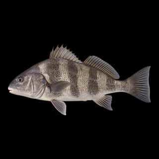
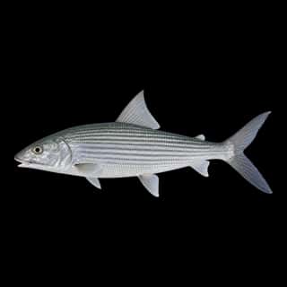
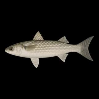
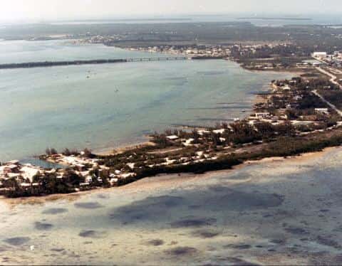
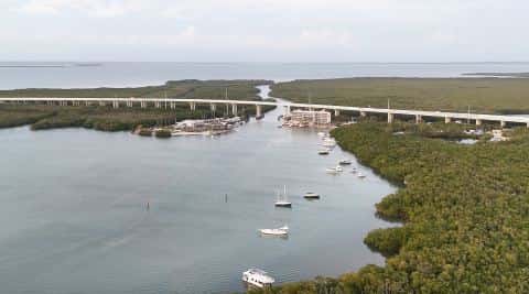
Spanish Harbor covers 566 acres in Florida, across Monroe County. It is an estuary: the deepest point measured is 17 feet (5.2 m). Our records hold 8 species for this water.
Depth: down to 17 ft at the deepest measured point
Deepest measured point: 17 ft (5.2 m). We hold 283 depth contours for this water, drawn from 5,495 soundings.
2 ramps and launches on this water
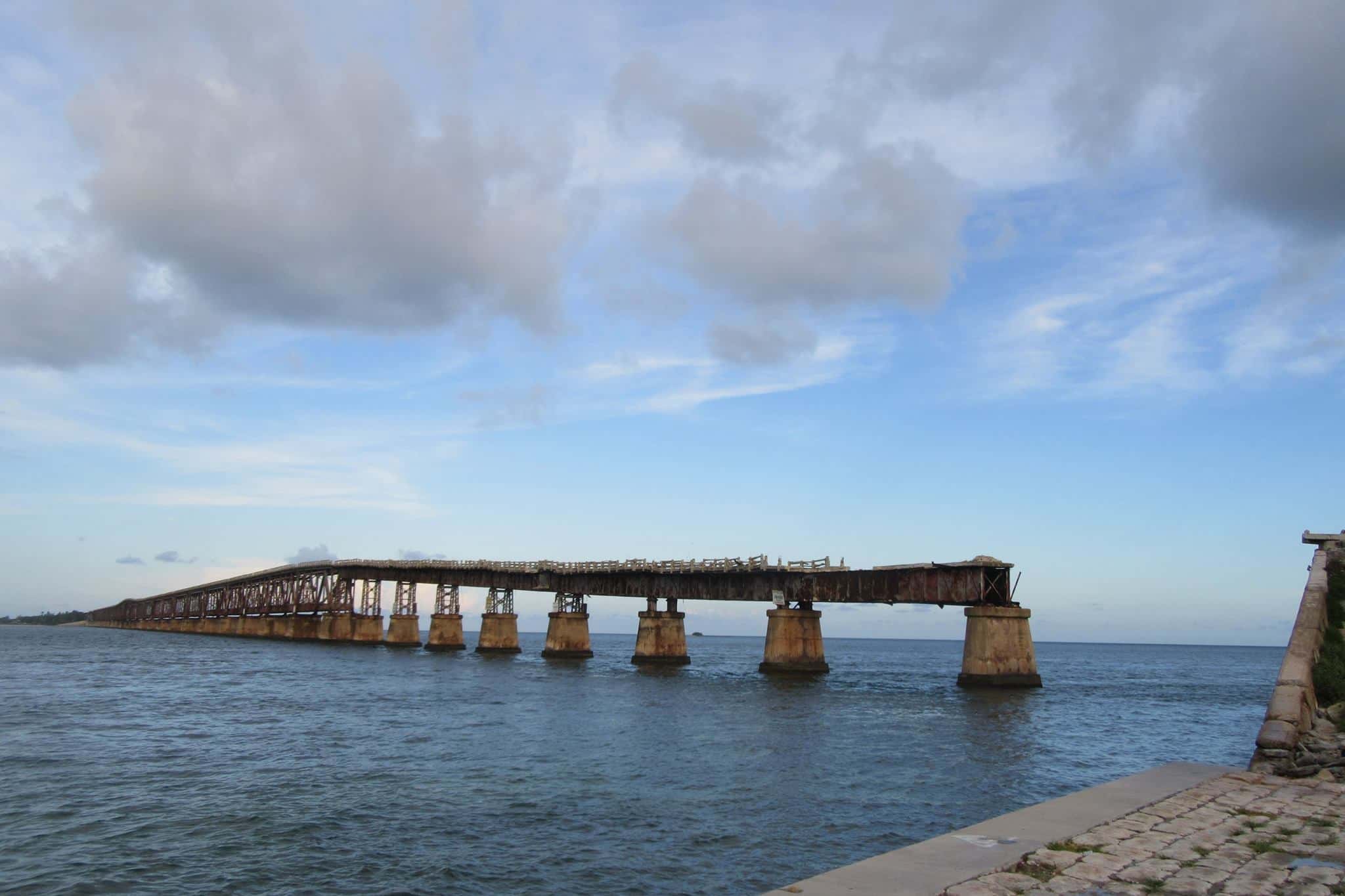
On this water we hold 2 trailer ramps and 1 bridge you can fish.
- Bahia Honda State Park - Boat Ramp — 2 lanes, marina, concrete, parking for 26 trailers (paved), paid, daylight hours, flush restrooms, dock, restrooms, wheelchair access. Big Pine Key, Florida Department of Environmental Protection. 36850 Overseas Highway, Big Pine Key 33043 · website floridastateparks.org/BahiaHonda
- Spanish Harbor Wayside Park Public Boat Ramp — 2 lanes, concrete, parking for 5 trailers (paved), no fee, open around the clock, dock. Big Pine Key, Florida Department of Transportation. Overseas Highway Mile Marker 34, Bayside, Big Pine Key 33043
Bridges you can fish from
- Spanish Harbor Fishing Pier - East — no fee, open around the clock, monofilament recycling bin, wheelchair access. FL Department of Transportation. MM 34 Overseas Hwy 33043
2 of the 3 places listed have both a fee and opening hours on file: a blank means we hold no such field, not that it is free or always open, and this list may not be complete.
What is hard here
Only 2 public ramps are on file, so the launch decides where you fish.
Where this data comes from
- NOAA Digital Coast — NOAA Digital Coast bathymetric lidar: class A, a survey of the bottom.
- NOAA BlueTopo: class A, a survey of the bottom.
- NOAA National Bathymetric Source (S-102 ed3.0.0) — NOAA S-102 bathymetric surfaces: contours: class A, a survey of the bottom.
- NOAA ENC — NOAA Electronic Navigational Charts: soundings: class A, a survey of the bottom.
- NOAA ENC — NOAA Electronic Navigational Charts: depth contours: class A, a survey of the bottom.