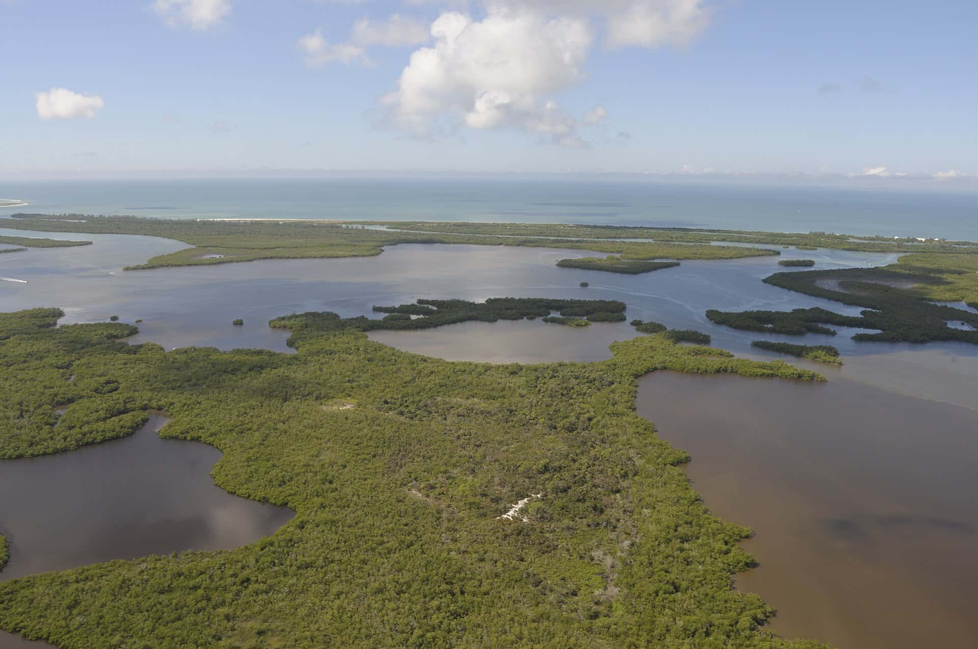

Rookery Bay: depth, boat ramps and water quality
Boat: 1 ramp or launch on file for this water.
Start here: Launch at Rookery Bay Natioanl Esturarine Reserach Reserve - Shell Island Road Primitive Boat Launch, 1 lane, dirt.
The estuary
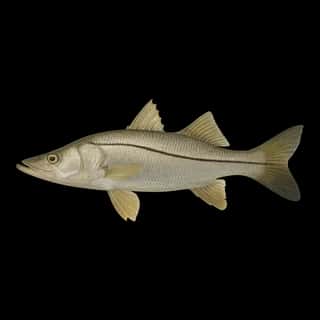
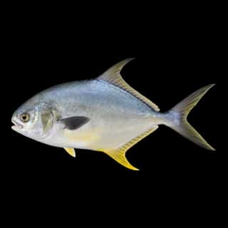
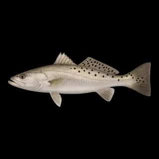
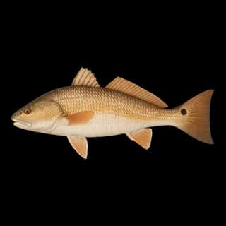
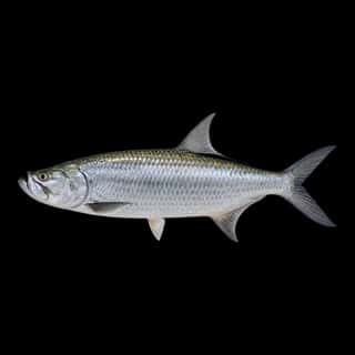
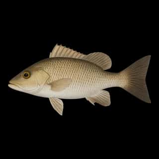
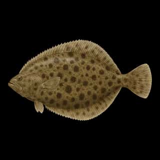
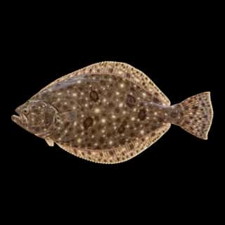
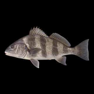
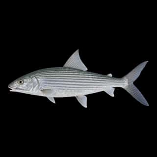
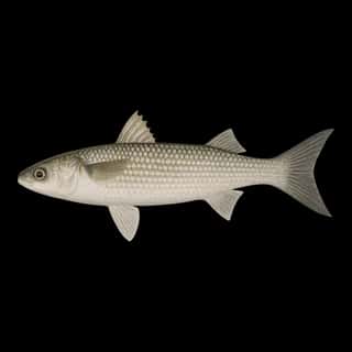
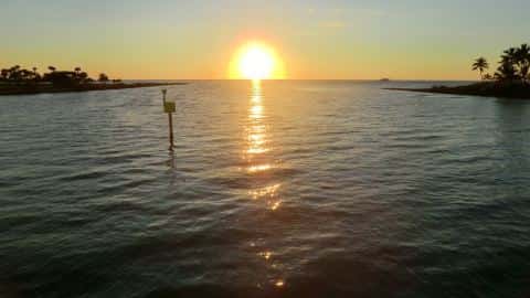
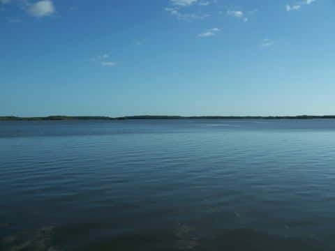
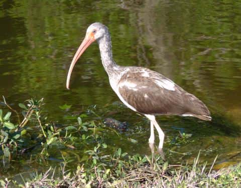
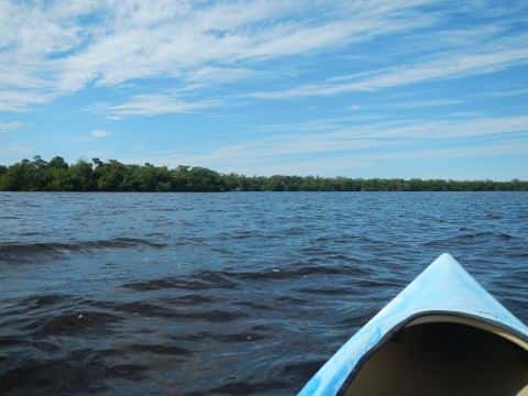
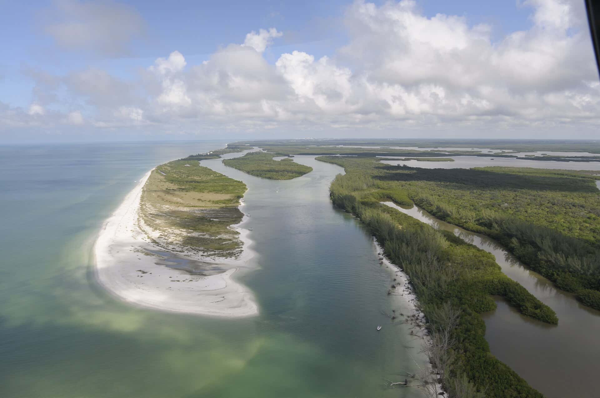
Rookery Bay covers 850 acres in Florida, across Collier County. It is an estuary: the deepest point measured is at least 11 feet (3.4 m). Our records hold 12 species for this water.
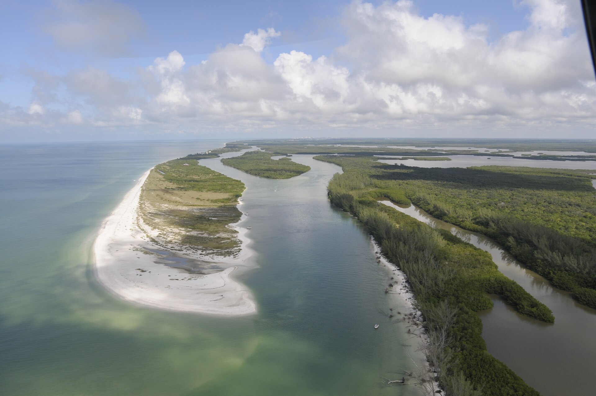
Depth and bottom
Deepest measured point: at least 11 ft (3.4 m). That is the deepest contour line: the bottom goes deeper. We hold 2 depth contours for this water, drawn from 458 soundings.
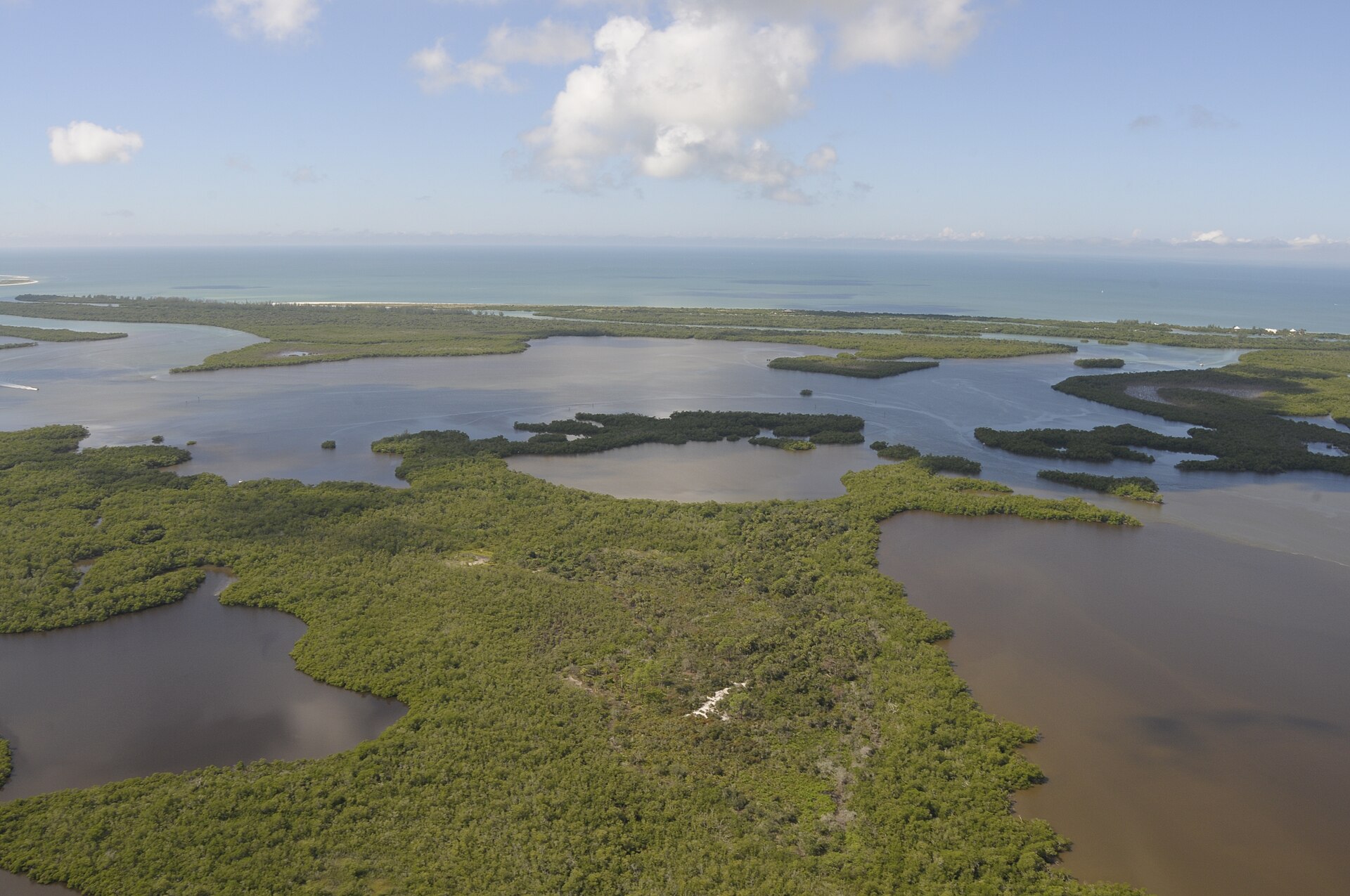
Water and conditions
Water clarity runs 2–4.3 feet on our readings, averaging 3.1 feet, from 48 readings. Our water temperature readings average 79°F; they do not cover the whole year, so this is not a yearly average. The coldest single reading we hold is 60°F and the warmest is 93°F; the warmest monthly average is 88°F. pH averages 7.8. These readings span 2017–2025.
1 ramp or launch on this water
On this water we hold 1 trailer ramp.
- Rookery Bay Natioanl Esturarine Reserach Reserve - Shell Island Road Primitive Boat Launch — 1 lane, dirt, parking for 4 trailers (firm unpaved), no fee, needs repair. Naples, Conservancy of South West Florida. 10 Shell Island Road, Naples 34113
Our ramp table for this water is not complete: there may be more.
What is hard here
Only 1 public ramp is on file, so the launch decides where you fish. Summer water sits at 88°F: heat and afternoon lightning are the real risks, not the fishing.
Where this data comes from
- NOAA Digital Coast — NOAA Digital Coast bathymetric lidar: class A, a survey of the bottom, 2016.
- NOAA BlueTopo: class A, a survey of the bottom.
- NOAA National Bathymetric Source (S-102 ed3.0.0) — NOAA S-102 bathymetric surfaces: contours: class A, a survey of the bottom.
- NOAA ENC — NOAA Electronic Navigational Charts: soundings: class A, a survey of the bottom.
- NOAA ENC — NOAA Electronic Navigational Charts: depth contours: class A, a survey of the bottom.