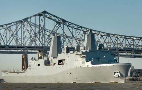
Rigolets fishing: Largemouth Bass, Spotted Seatrout, Southern Flounder
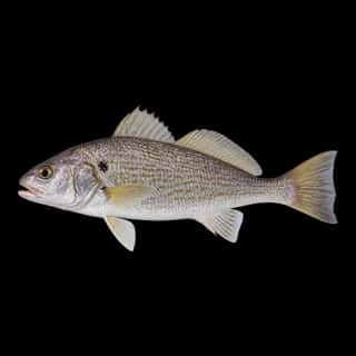
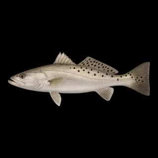
Target species: Largemouth Bass, Spotted Seatrout, Southern Flounder, Atlantic Croaker
Boat: 1 ramp or launch on file for this water.
Start here: Launch at Fort Pike State Park Public Launch, 1 lane.
The river
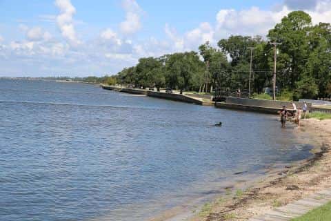
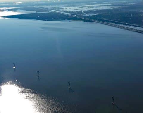
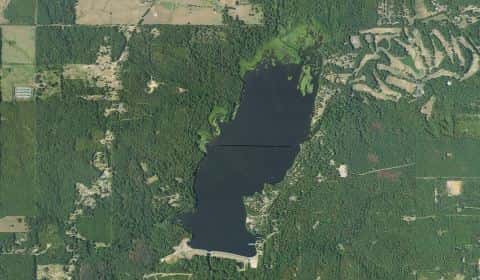
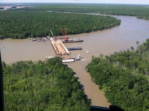
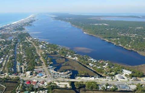
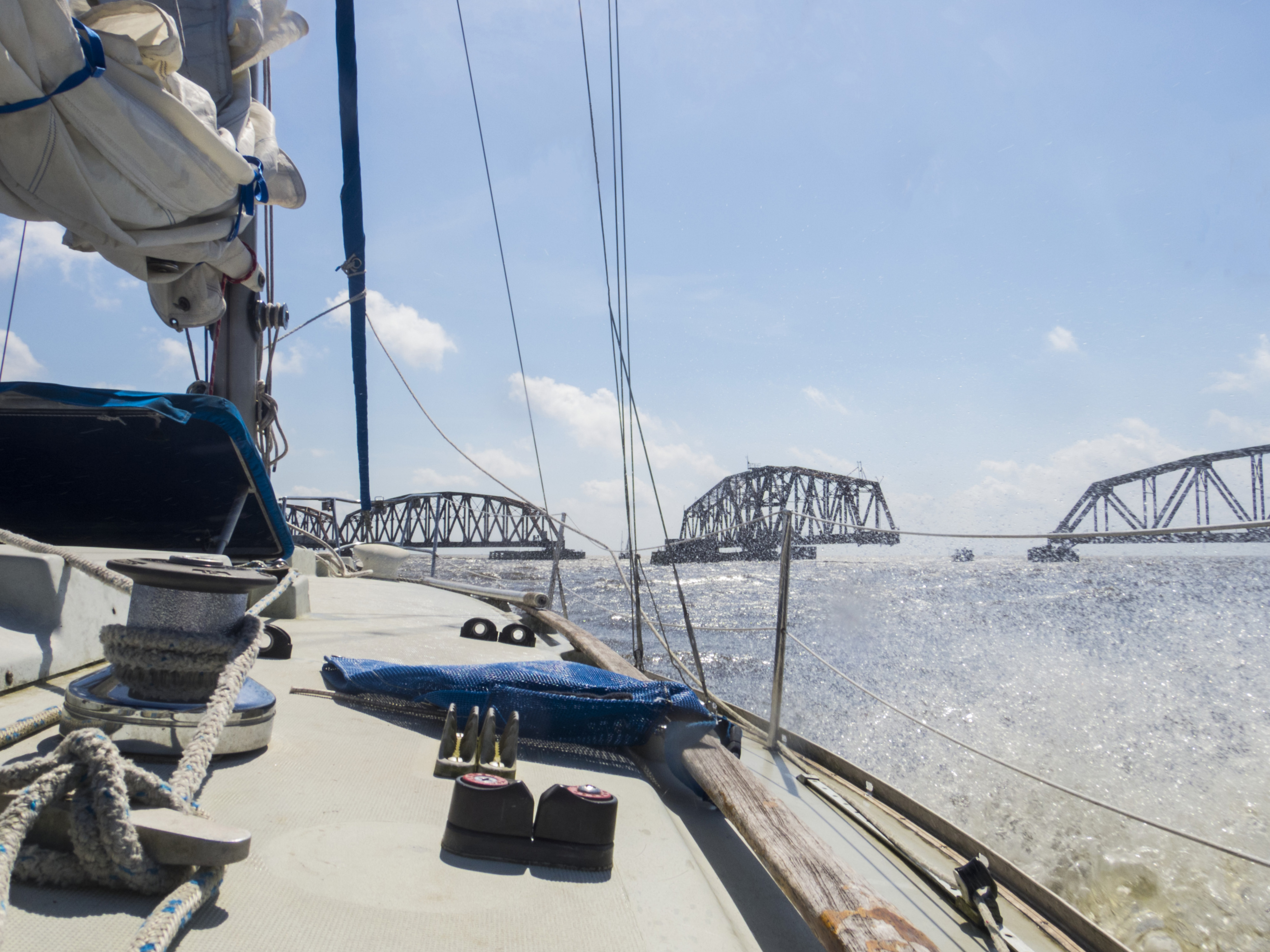
Rigolets covers 3,363 acres in Louisiana, across 2 counties: Orleans and St. Tammany. It is a river: the deepest point measured is 58 feet (17.7 m). Our records hold 13 species for this water.
Depth and bottom
Deepest measured point: 58 ft (17.7 m). We hold 1 depth contour for this water, drawn from 36 soundings.
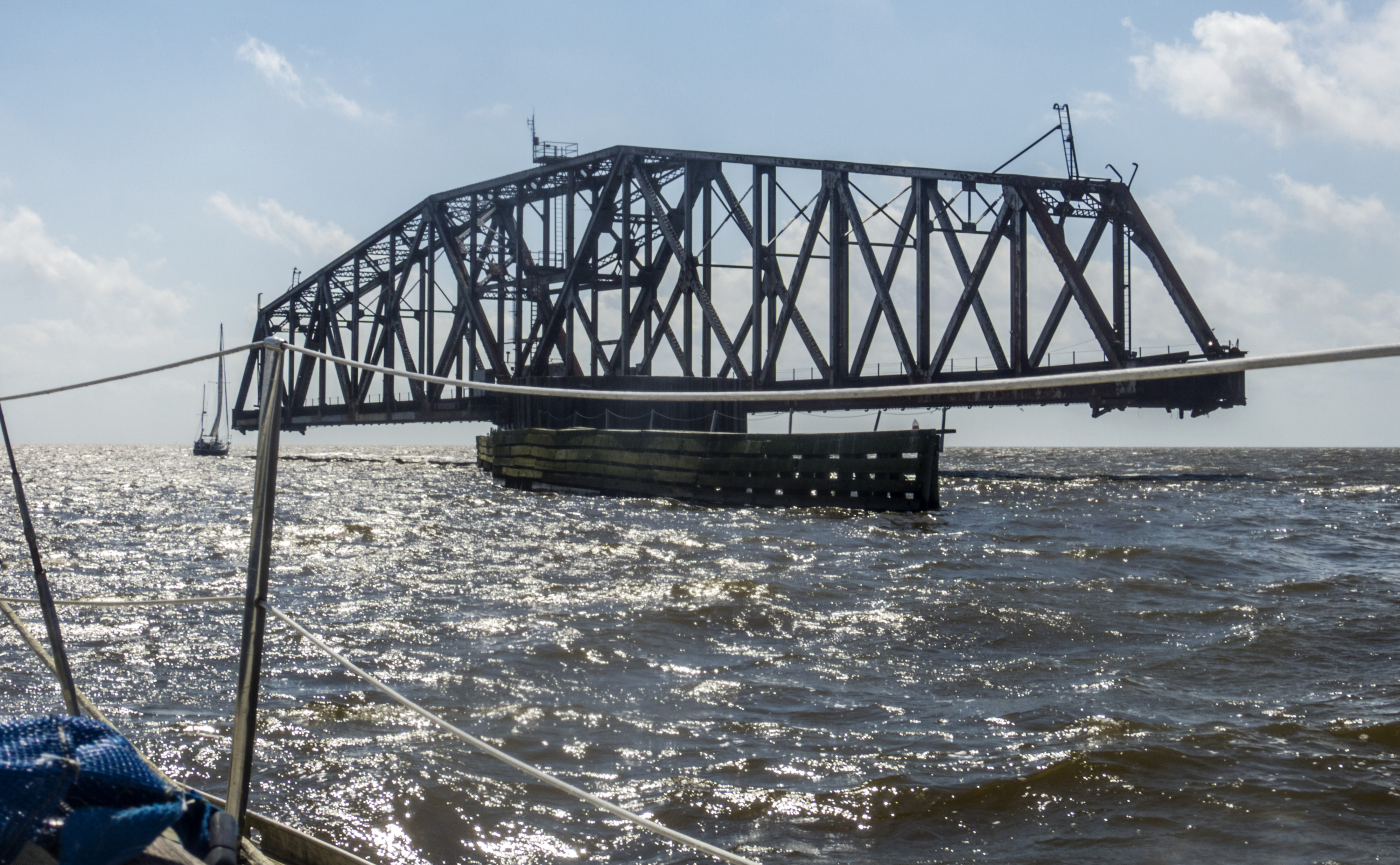
4 target fish, led by Largemouth Bass
- Largemouth Bass — Feeding water: 65–85°F.
- Spotted Seatrout — Feeding water: 70–85°F.
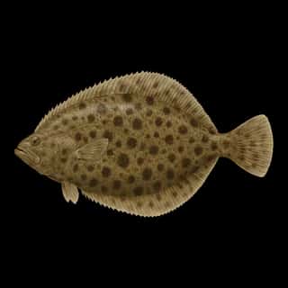
- Southern Flounder — Feeding water: 65–75°F.
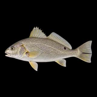
- Atlantic Croaker — Feeding water: 65–75°F.
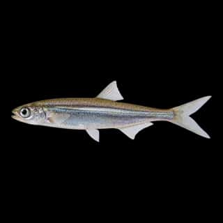
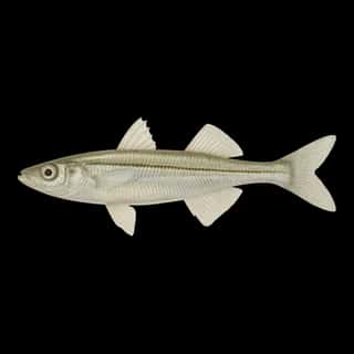
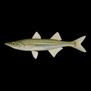
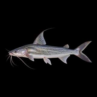
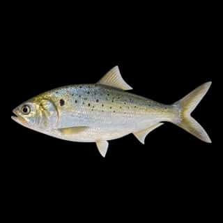
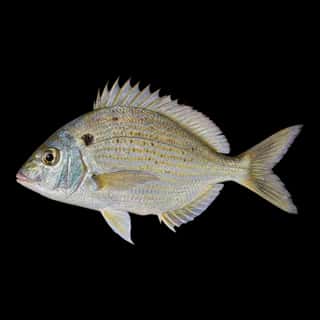
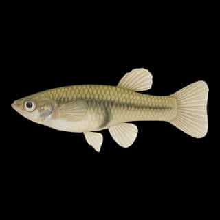
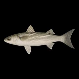
Also recorded here: Brook Silverside, Western Mosquitofish, Gafftopsail Catfish, Spot, Bay Anchovy, Mullet, Gulf Menhaden, Pinfish, Inland Silverside.
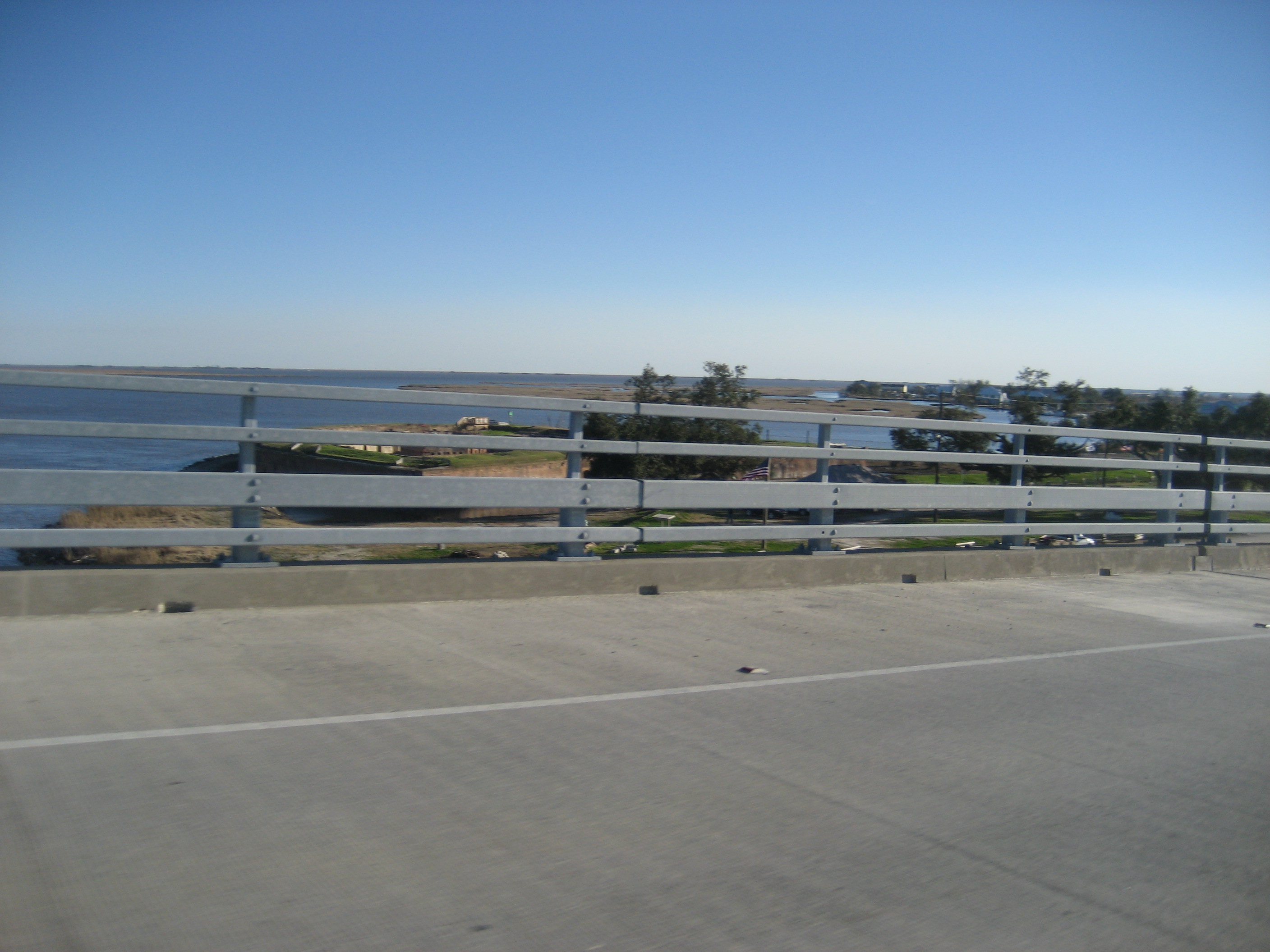
1 ramp or launch on this water
On this water we hold 1 trailer ramp.
- Fort Pike State Park Public Launch — 1 lane, open 9am–5pm. New Orleans. 27100 Chef Menteur Hwy, New Orleans · phone 504-255-9171; 888-662-5703 · website crt.state.la.us/louisiana-state-parks/historic-sites/fort-pike-state-historic-site · email [email protected]
The place listed has no fee or opening hours on file: a blank means we hold no such field, not that it is free or always open, and this list may not be complete.
Water and conditions
Our water temperature readings average 72°F; they do not cover the whole year, so this is not a yearly average. pH averages 7.6. These readings span 2018–2023.
What is hard here
Only 1 public ramp is on file, so the launch decides where you fish.
Where this data comes from
- NOAA NOS Hydro — NOAA NOS hydrographic survey archive: class A, a survey of the bottom.
- NOAA ENC — NOAA Electronic Navigational Charts: depth contours: class A, a survey of the bottom.