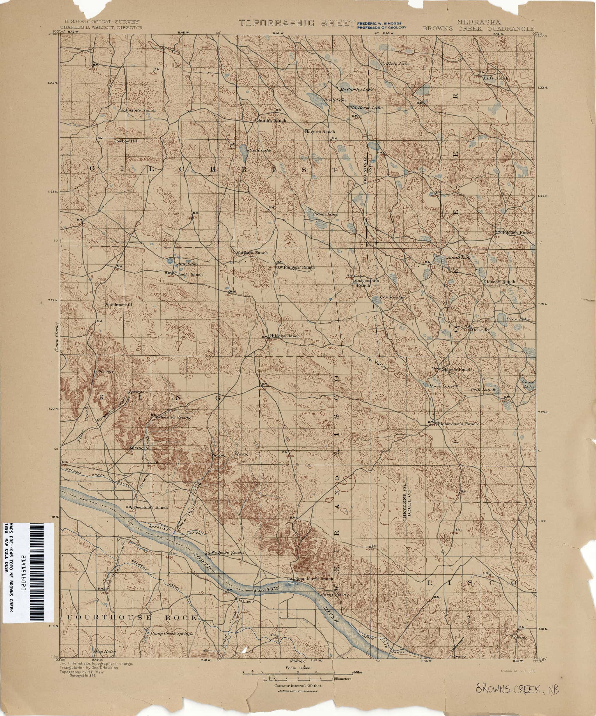
Browns Creek: depth
The estuary
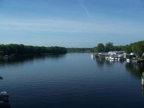
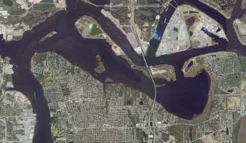
Browns Creek covers 264 acres in Florida, across Duval County. It is an estuary: the deepest point measured is 15.7 feet (4.8 m). Our records hold 11 species for this water.
Depth and bottom
Deepest measured point: 15.7 ft (4.8 m). We hold 1 depth contour for this water, drawn from 44 soundings.
Ramps and access
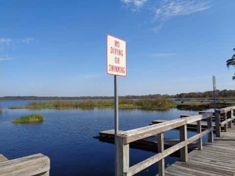
On this water we hold 1 fishing pier.
Fishing piers
- Browns Creek — park entry fee, open 6am–5pm. Jacksonville, Browns Creek Fishing Camp. 5212 Heckscher Dr, Jacksonville 32226
The place listed has no fee or opening hours on file: a blank means we hold no such field, not that it is free or always open, and this list may not be complete.
Where this data comes from
- NOAA ENC — NOAA Electronic Navigational Charts: soundings: class A, a survey of the bottom.
- NOAA ENC — NOAA Electronic Navigational Charts: depth contours: class A, a survey of the bottom.