Lake Ontario fishing: Rainbow Trout, Atlantic Salmon, Brown Trout
Target species: Rainbow Trout, Atlantic Salmon, Brown Trout, Lake Trout, Cisco
Boat: 11 ramps and launches on file for this water.
Start here: Launch at Irondequoit Bay, 3 lanes.
The lake
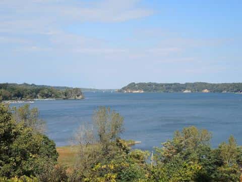
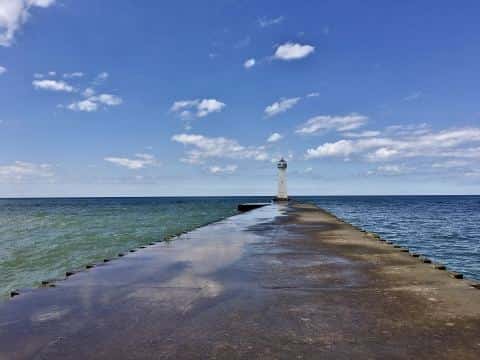
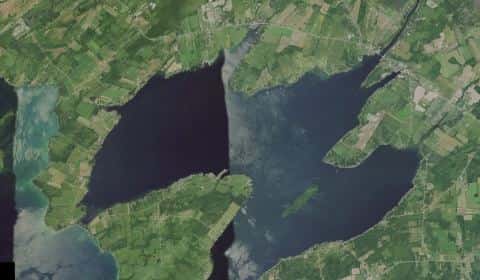
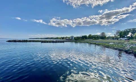
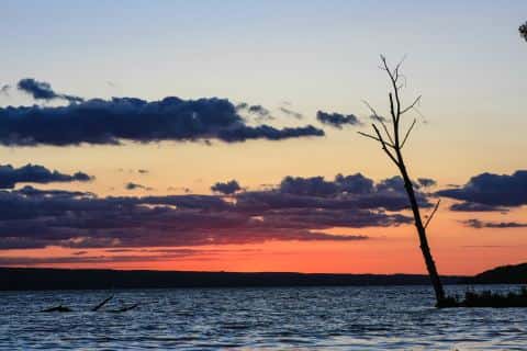
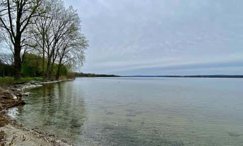
Lake Ontario covers 4,656,925 acres in New York, across 5 counties: Jefferson, Niagara, Wayne, Monroe and Oswego. It is a lake: 94% of it is 600 feet deep or less; the deepest figure on record is 801 feet (244 m), as published by NOAA NCEI Great Lakes, a figure without a map of the bottom. Our records hold 13 species for this water.
5 target fish, led by Rainbow Trout
- Rainbow Trout — Feeding water: 50–65°F.
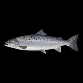
- Atlantic Salmon — Feeding water: 45–60°F.
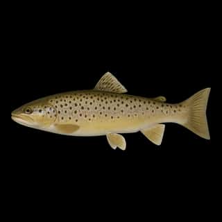
- Brown Trout — Feeding water: 50–65°F.
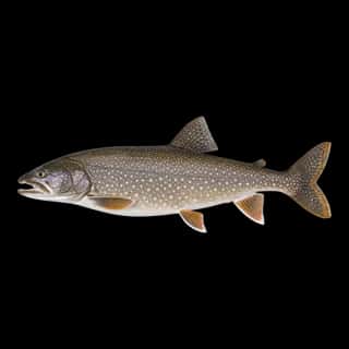
- Lake Trout — Feeding water: 50–65°F.
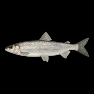
- Cisco — Feeding water: 40–60°F.
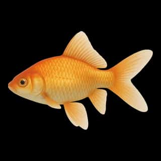
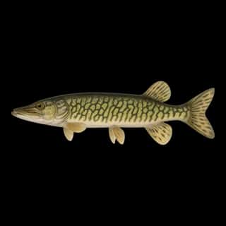
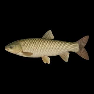
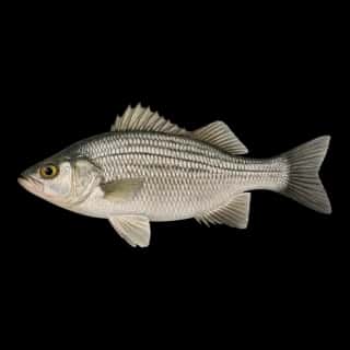
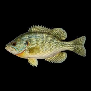
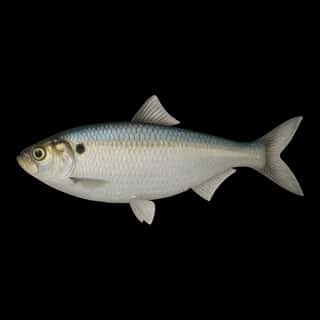
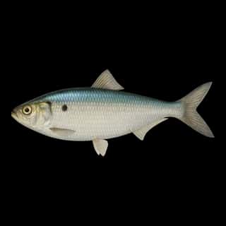
Also recorded here: Chain Pickerel, Green Sunfish, Common Carp, Grass Carp, Alewife, Goldfish, Blueback Herring, White Perch.
Stocking: 5,203,847 fish, 2011–2025
NYSDEC records list 5,203,847 fish released into this water from 2011 to 2025.
- Brown Trout: 2,626,971 in 2011–2025
- Lake Trout: 2,551,845 in 2011–2025
- Rainbow Trout: 9,000 in 2011
One more species on the stocking list.
11 ramps and launches on this water
On this water we hold 6 trailer ramps and 5 boat ramps.
- Bald Eagle Marina — Kendall, Bald Eagle Marina LLC. 1033 Lakeland Beach Road, Kendall 14476
- Irondequoit Bay — 3 lanes, restrooms. Finger Lakes Institute/NYSOPRHP.
- Braddock Bay — 2 lanes, restrooms. New York State Office of Parks, Recreation and Historic Preservation.
- Chaumont Bay — 2 lanes. New York State Office of Parks, Recreation and Historic Preservation.
- Mexico Point — 2 lanes. New York State Office of Parks, Recreation and Historic Preservation. phone +1 315-963-3656 · website parks.ny.gov/parks/mexicopoint
- Oak Orchard E & W — 2 lanes, restrooms. New York State Office of Parks, Recreation and Historic Preservation.
- Westcott Beach — 2 lanes, restrooms. New York State Office of Parks, Recreation and Historic Preservation.
- Mayer's Marina — Webster. 7 Lake Road, Webster 14580
- Port of Rochester Marina — Finger Lakes Institute. 1000 N River St, Rochester, NY 14612
- Coast Guard Basin website usgs.gov/centers/great-lakes-science-center/research-vessel-kaho
Fee and opening hours are blank for all 10 places in this list: a blank means we hold no such field, not that it is free or always open, and this list may not be complete.
Water and conditions
Water clarity runs 11.6–62.2 feet on our readings, averaging 30.9 feet, from 32 readings. Our water temperature readings average 60°F; they do not cover the whole year, so this is not a yearly average. The coldest single reading we hold is 33°F and the warmest is 78°F; the warmest monthly average is 72°F. pH averages 8.3. These readings span 2017–2023.
Depth and bottom
Deepest figure on record: 801 ft (244 m), as published by NOAA NCEI Great Lakes. We hold no survey map of this bottom, so we show no depth bands. 94% of the water is 600 feet or shallower. We hold 2,712 depth contours for this water, drawn from 102,329 soundings.
- 0–2 ft: 0.5% of the water
- 2–4 ft: 0.5% of the water
- 4–6 ft: 0.4% of the water
- 6–8 ft: 0.5% of the water
- 8–10 ft: 0.5% of the water
- 10–12 ft: 0.4% of the water
- 12–15 ft: 0.7% of the water
- 15–20 ft: 1.2% of the water
- 20–25 ft: 1.1% of the water
- 25–30 ft: 1.1% of the water
- 30–40 ft: 2.2% of the water
- 40–60 ft: 4.3% of the water
- 60–80 ft: 4.5% of the water
- 80–100 ft: 4.5% of the water
- 100–150 ft: 8.7% of the water
- 150–200 ft: 7.7% of the water
- 200–300 ft: 14.7% of the water
- 300–600 ft: 40.5% of the water
- 600–801 ft: 6.1% of the water
What is hard here
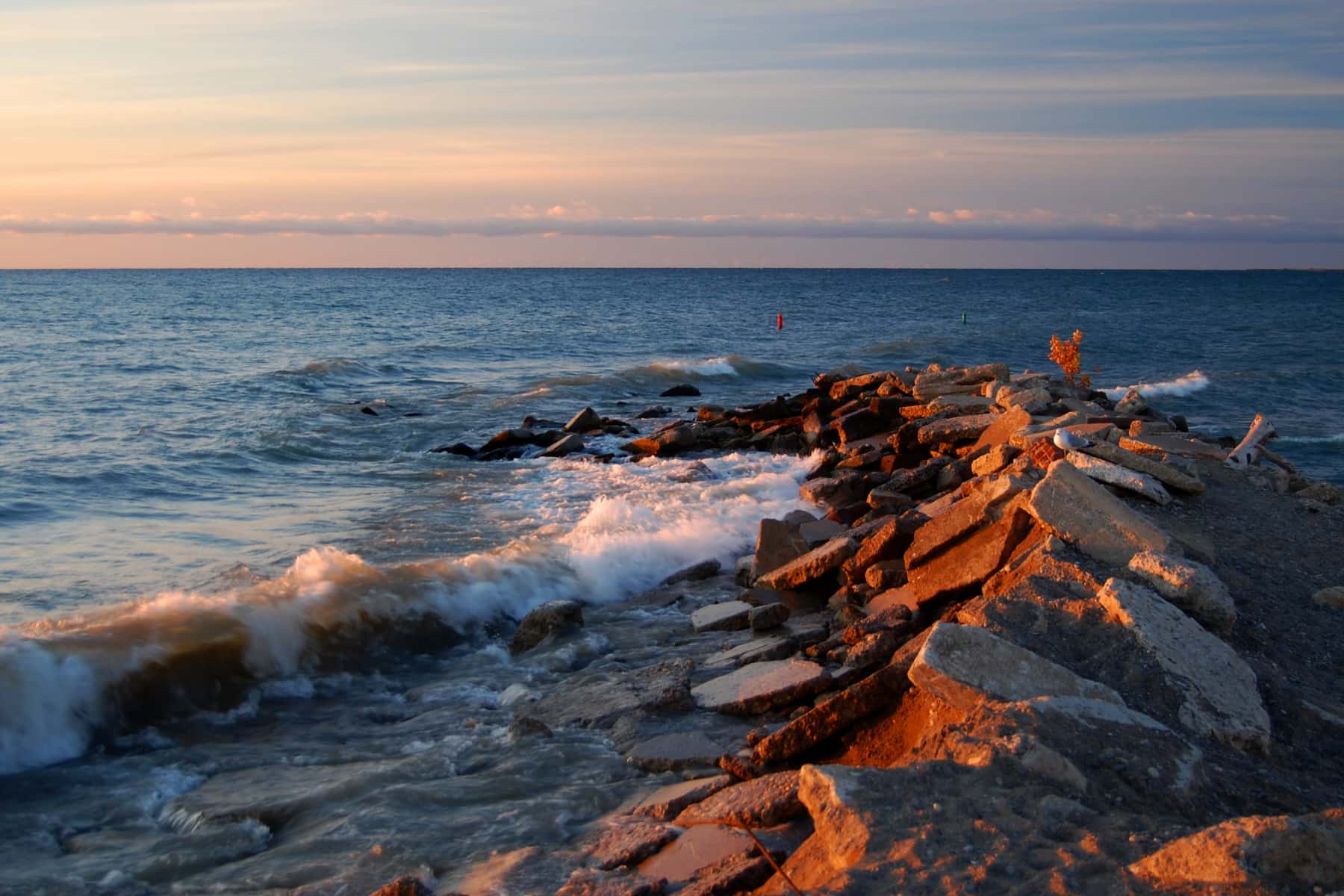
Wind is the limit, not the fish: 4,656,925 acres of open water build a short steep chop, and there is no shelter in the middle. Clarity swings from 11.6 to 62.2 feet between our readings — the water you meet is not the water someone photographed.
Where this data comes from
- USACE eHydro — USACE eHydro channel surveys: class A, a survey of the bottom.
- NOAA NCEI Great Lakes — NOAA Great Lakes bathymetry: class B, a depth figure measured and published by an agency, without a bottom map.
- NOAA NOS Hydro — NOAA NOS hydrographic survey archive: class A, a survey of the bottom.
- NOAA ENC — NOAA Electronic Navigational Charts: soundings: class A, a survey of the bottom.
- NOAA ENC — NOAA Electronic Navigational Charts: depth contours: class A, a survey of the bottom.
- NOAA National Bathymetric Source (S-102 ed3.0.0) — NOAA S-102 bathymetric surfaces: contours: class A, a survey of the bottom.