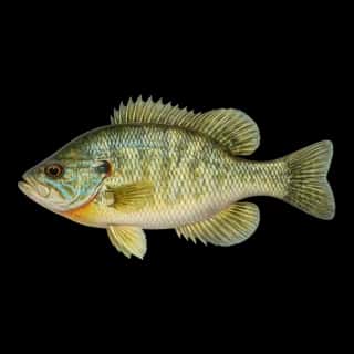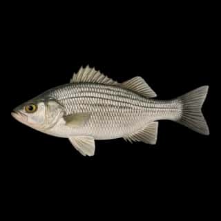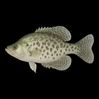
Oneida Lake fishing: White Crappie, Bluegill, Green Sunfish
Target species: White Crappie, Bluegill, Green Sunfish, White Perch
Boat: 3 ramps and launches on file for this water.
Start here: Launch at Marion Manor.
The lake
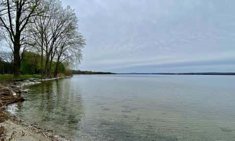
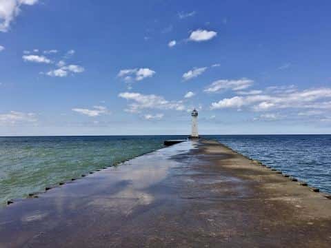
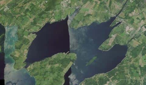
Oneida Lake covers 51,381 acres in New York, across 4 counties: Oswego, Onondaga, Oneida and Madison. It is a lake: the deepest point measured is 32.8 feet (10 m). Our records hold 7 species for this water.
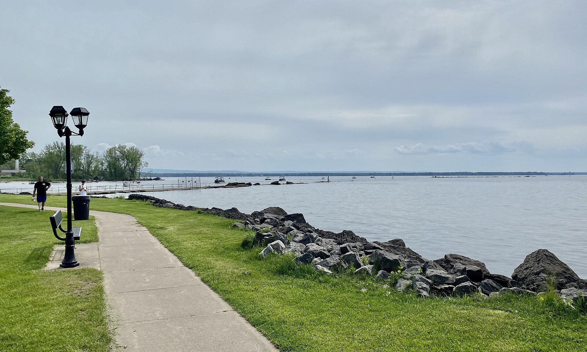
Depth: down to 32.8 ft at the deepest measured point
Deepest measured point: 32.8 ft (10 m). We hold 37 depth contours for this water, drawn from 155 soundings.
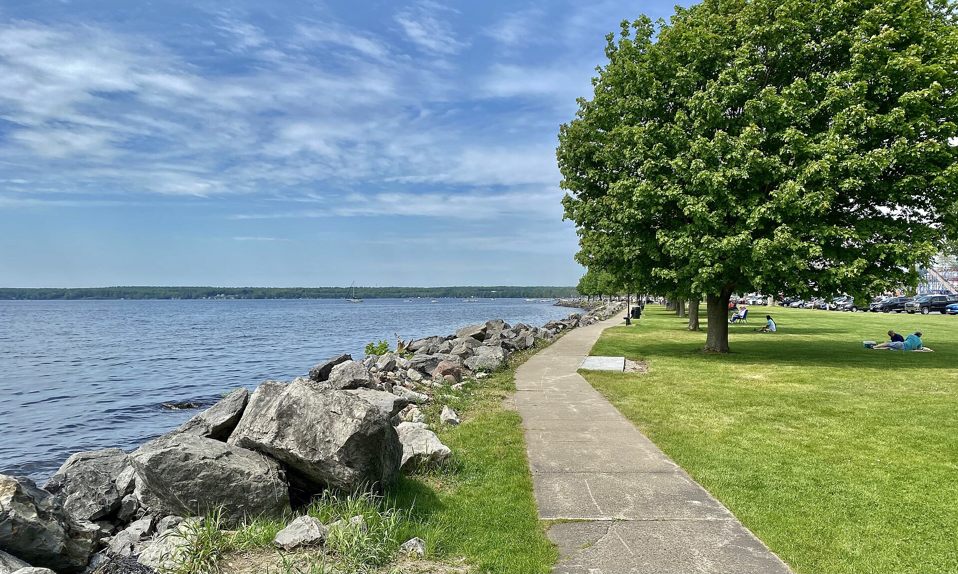
4 target fish, led by White Crappie
- White Crappie — Feeding water: 65–75°F.
- Bluegill — Feeding water: 70–85°F.
- Green Sunfish — Feeding water: 65–80°F.
- White Perch — Feeding water: 50–75°F.
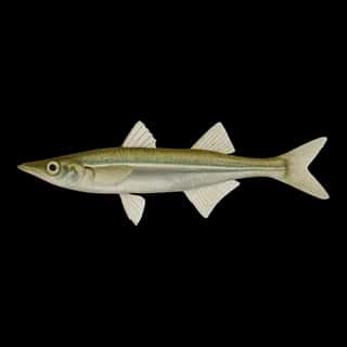
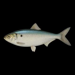
Also recorded here: Common Carp, Blueback Herring, Brook Silverside.
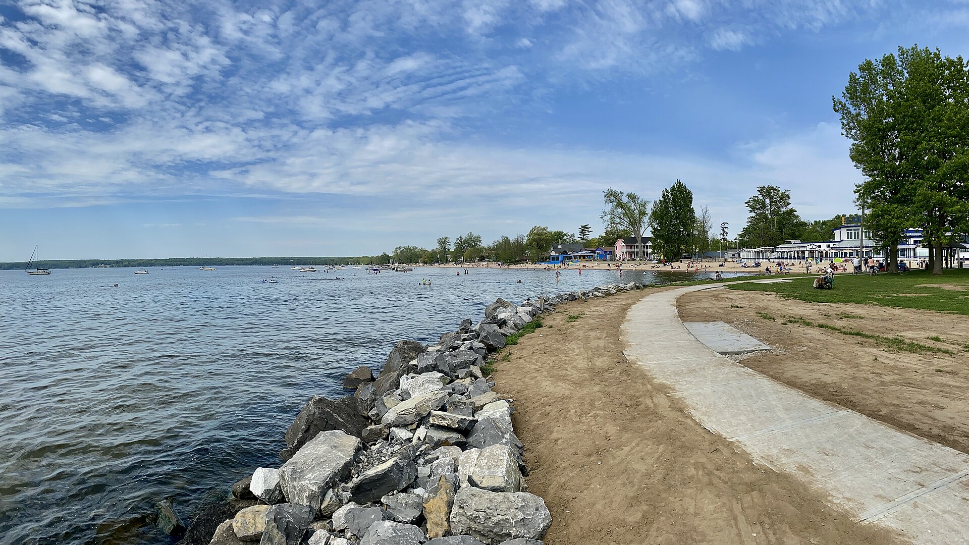
3 ramps and launches on this water
On this water we hold 3 boat ramps and 1 shore access point.
- Marion Manor — Oneida Indian Nation. website onemarinas.com/marion-manor
- Oneida Lake Boat Launch — New York State Department of Environmental Conservation. website dec.ny.gov/outdoor/41034.html
- Toad Harbor — Saint Lawrence Eastern Lake Ontario PRISM. website onondagacountyparks.com/parks/oneida-shores-park/boat-launch
Shore access for bank fishing
- Oneida Lake at Jewell Fishing Access — New York State Department of Environmental Conservation. website dec.ny.gov/outdoor/41034.html
Fee and opening hours are blank for all 4 places in this list: a blank means we hold no such field, not that it is free or always open, and this list may not be complete.
What is hard here
Wind is the limit, not the fish: 51,381 acres of open water build a short steep chop, and there is no shelter in the middle.
Where this data comes from
- NOAA ENC — NOAA Electronic Navigational Charts: soundings: class A, a survey of the bottom.
- NOAA ENC — NOAA Electronic Navigational Charts: depth contours: class A, a survey of the bottom.
- EPA NLA — EPA National Lakes Assessment: class B, a depth figure measured and published by an agency, without a bottom map.
- Webster, K.E., McCullough, I.M., Soranno, P.A. LAGOS-US DEPTH v1.0, EDI, doi:10.6073/pasta/64ddc4d04661d9aef4bd702dc5d8984f (CC BY 4.0); Cheruvelil et al. LAGOS-US LOCUS v1.0 (EDI) — LAGOS-US DEPTH v1.0: Lake depth for 17,675 lakes in the conterminous U.S.: class B, a depth figure measured and published by an agency, without a bottom map.