Eagle Lake fishing: Largemouth Bass, Longear Sunfish, Freshwater Drum
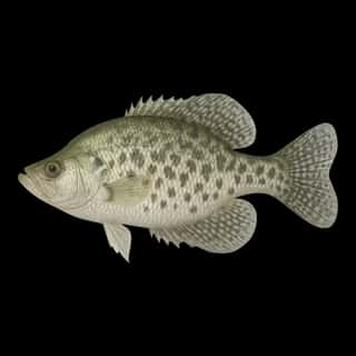
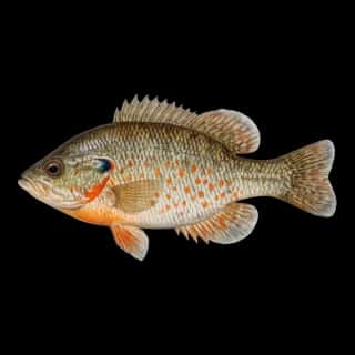
Target species: Largemouth Bass, Longear Sunfish, Freshwater Drum, Spotted Gar, Black Crappie, White Crappie, Redear
The lake
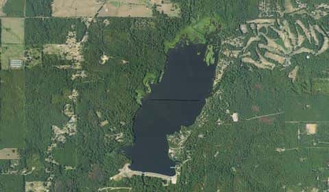
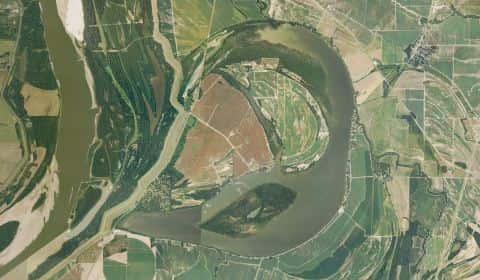
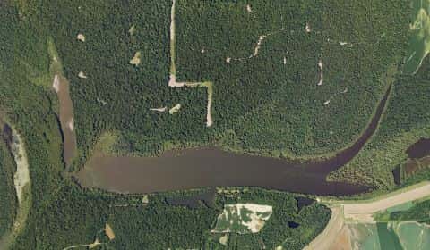
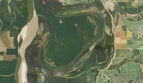
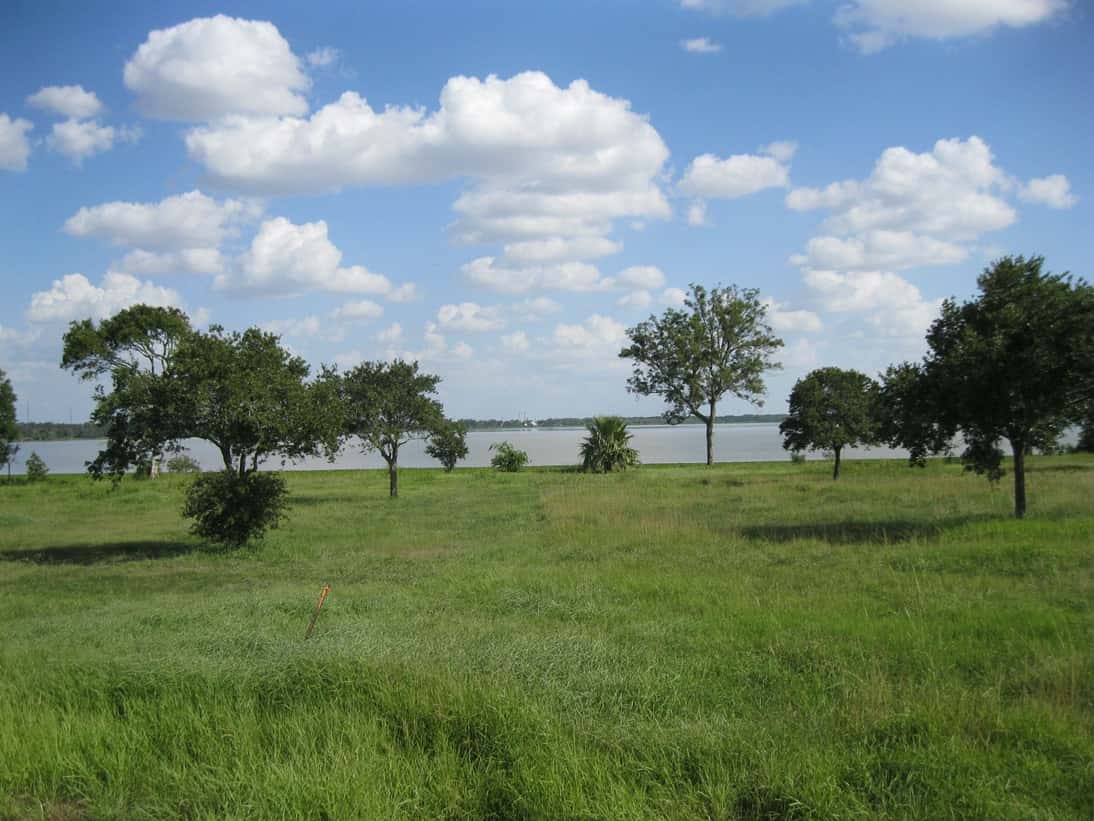
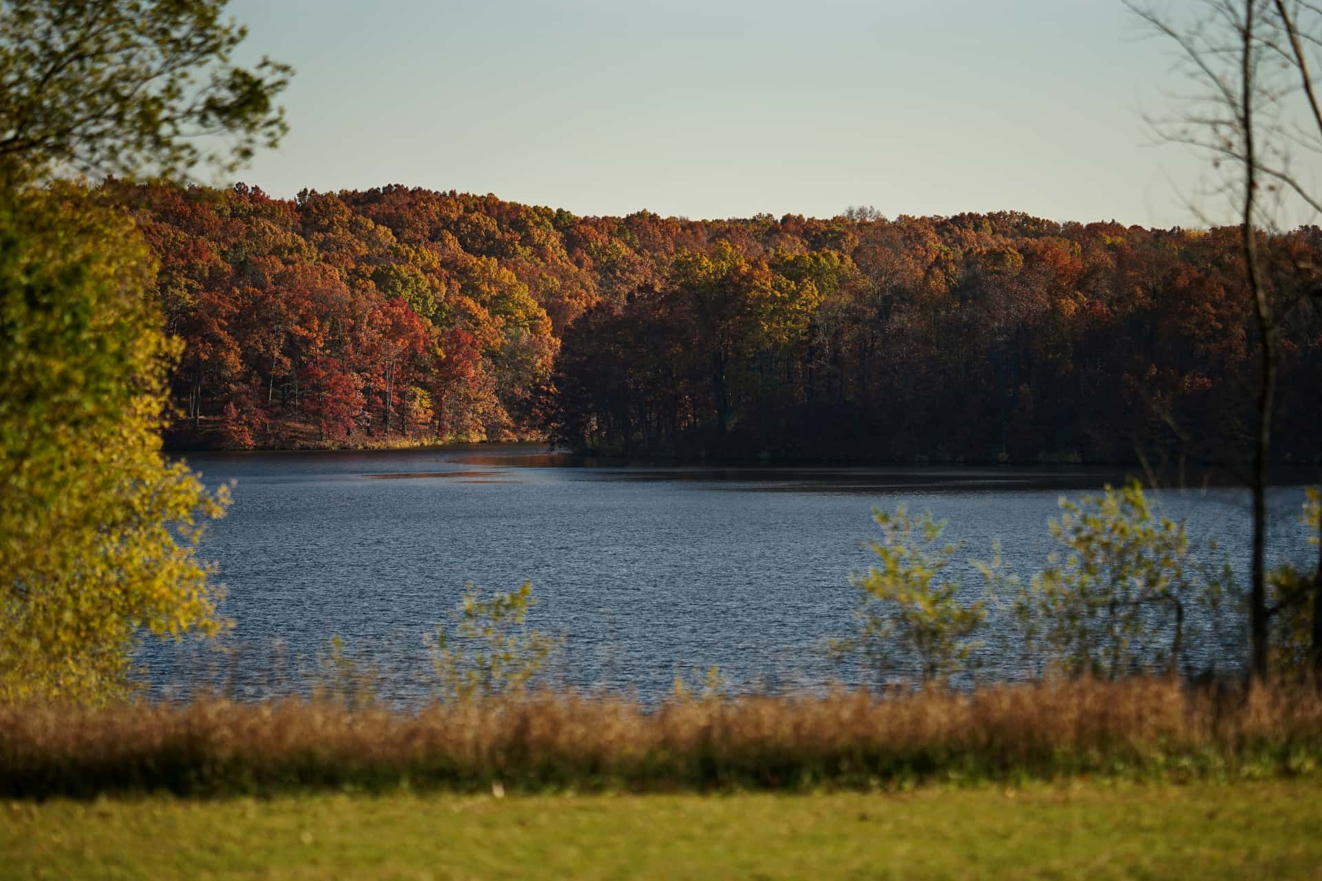
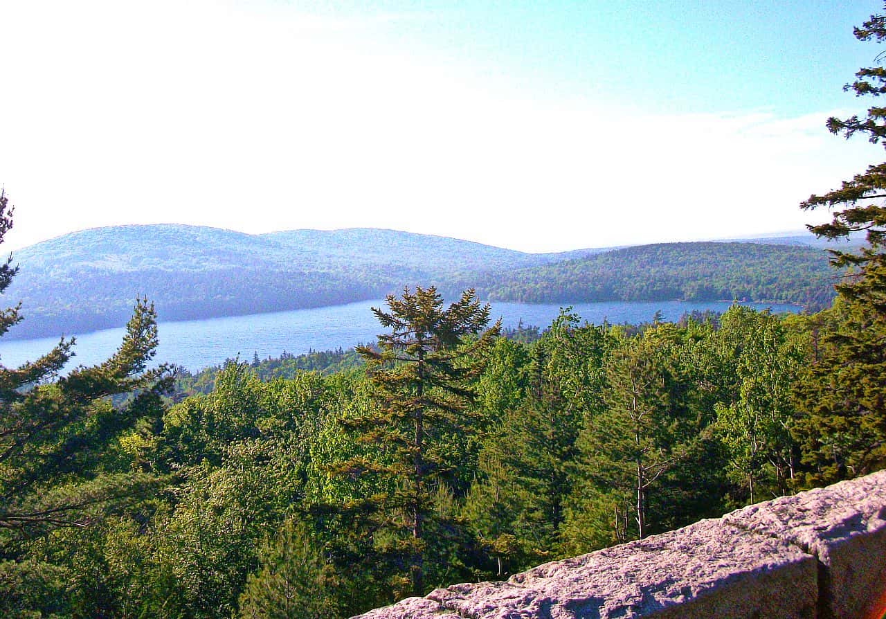
Eagle Lake covers 4,676 acres in Louisiana, across Madison County. It is a lake: 92.5% of it is 18 feet deep or less; the deepest point measured is at least 27 feet (8.2 m). Our records hold 15 species for this water. 32% of the water lies in Mississippi.
7 target fish, led by Largemouth Bass
- Largemouth Bass — Feeding water: 65–85°F.
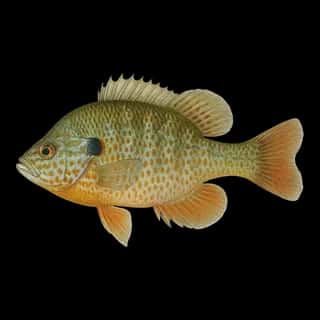
- Longear Sunfish — Feeding water: 70–85°F.
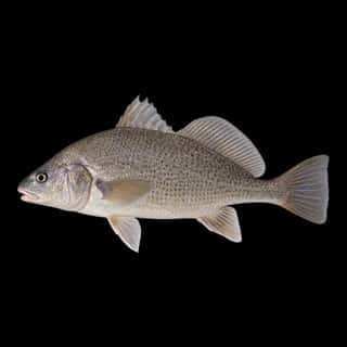
- Freshwater Drum — Feeding water: 60–75°F.
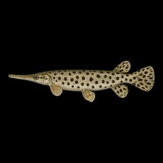
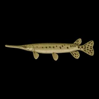
- Spotted Gar — Feeding water: 70–85°F.
- Black Crappie — Feeding water: 65–75°F.
- White Crappie — Feeding water: 65–75°F.
- Redear — Feeding water: 65–85°F.
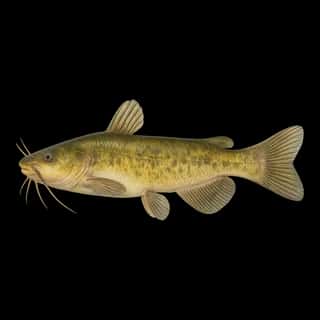
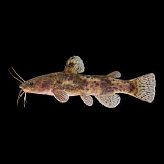
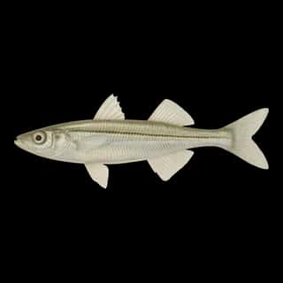
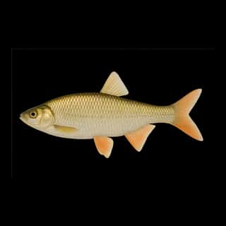
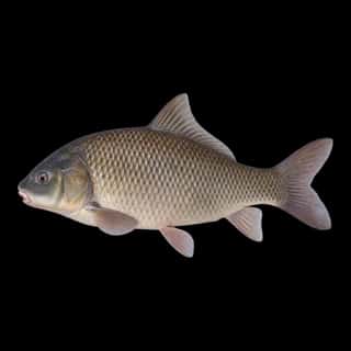
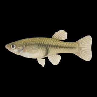
Also recorded here: Orangespotted Sunfish, Longnose Gar, Yellow Bullhead, Common Carp, Tadpole Madtom, Golden Shiner, Western Mosquitofish, Inland Silverside.
Depth and bottom
Deepest measured point: at least 27 ft (8.2 m). That is the deepest contour line: the bottom goes deeper. 92.5% of the water is 18 feet or shallower. We hold 74 depth contours for this water, drawn from 9 soundings.
- 0–2 ft: 6.3% of the water
- 2–4 ft: 7.5% of the water
- 4–6 ft: 22.2% of the water
- 6–8 ft: 13.8% of the water
- 8–10 ft: 15% of the water
- 10–12 ft: 13.9% of the water
- 12–14 ft: 5.3% of the water
- 14–16 ft: 4.4% of the water
- 16–18 ft: 4.1% of the water
- 18–20 ft: 1.9% of the water
- 20–22 ft: 1.6% of the water
- 22–24 ft: 1.8% of the water
- 24–26 ft: 1.4% of the water
- 26–27 ft: 1% of the water
Water and conditions
Water clarity runs 1–2.9 feet on our readings, averaging 1.7 feet, from 102 readings. Our water temperature readings average 82°F; they do not cover the whole year, so this is not a yearly average. The coldest single reading we hold is 65°F and the warmest is 91°F; the warmest monthly average is 88°F. pH averages 8.1. These readings span 2016–2025.
What is hard here
Summer water sits at 88°F: heat and afternoon lightning are the real risks, not the fishing.
Where this data comes from
- Mississippi Dept. of Wildlife, Fisheries, and Parks — Mississippi Dept. of Wildlife, Fisheries, and Parks: depth contours: class A, a survey of the bottom.
Part of these depths rest on an averaged water level, so they are approximate (≈).