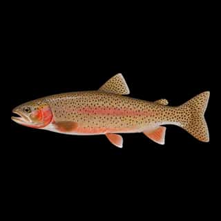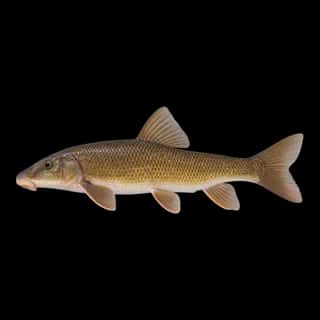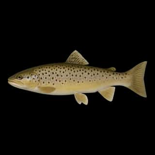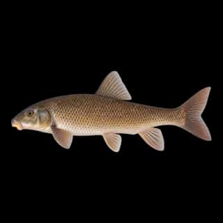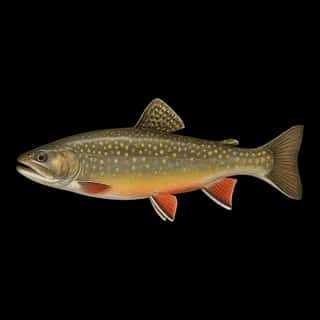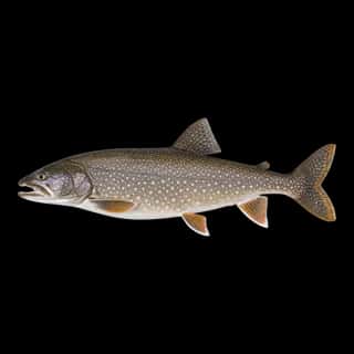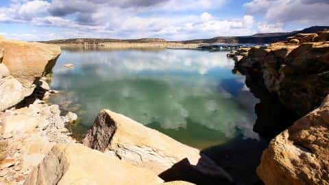
Blue Mesa Reservoir fishing: Rainbow Trout, Brown Trout, Yellow Perch
Target species: Rainbow Trout, Brown Trout, Yellow Perch, Lake Trout
Boat: 1 ramp or launch on file for this water.
Start here: Launch at Lake Fork Marina.
The reservoir
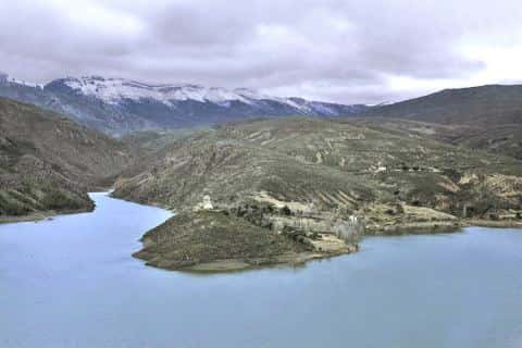
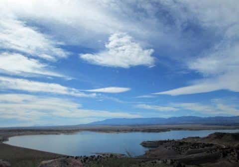
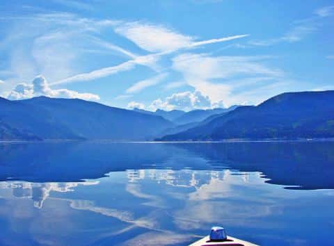
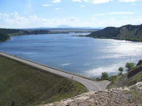
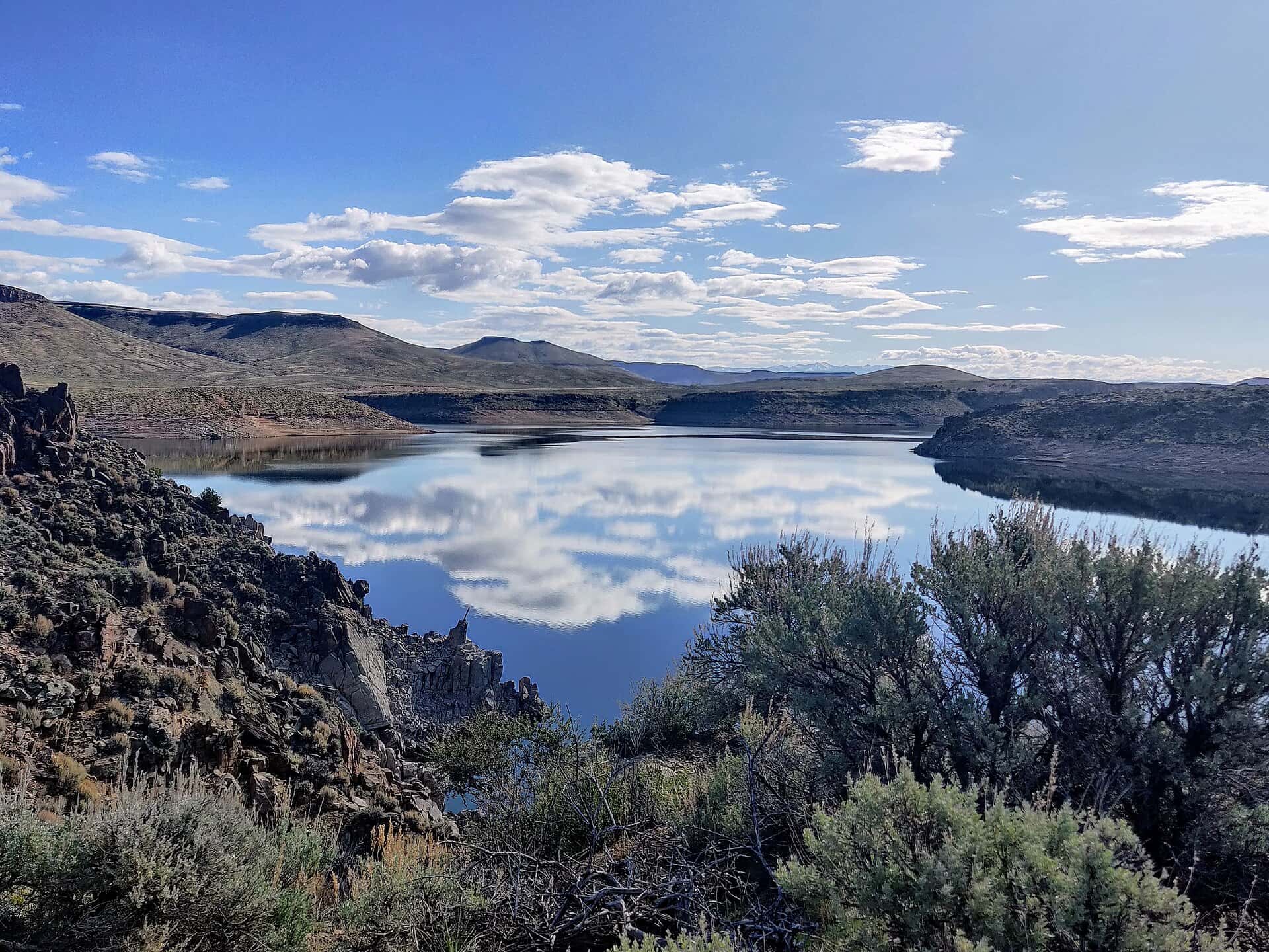
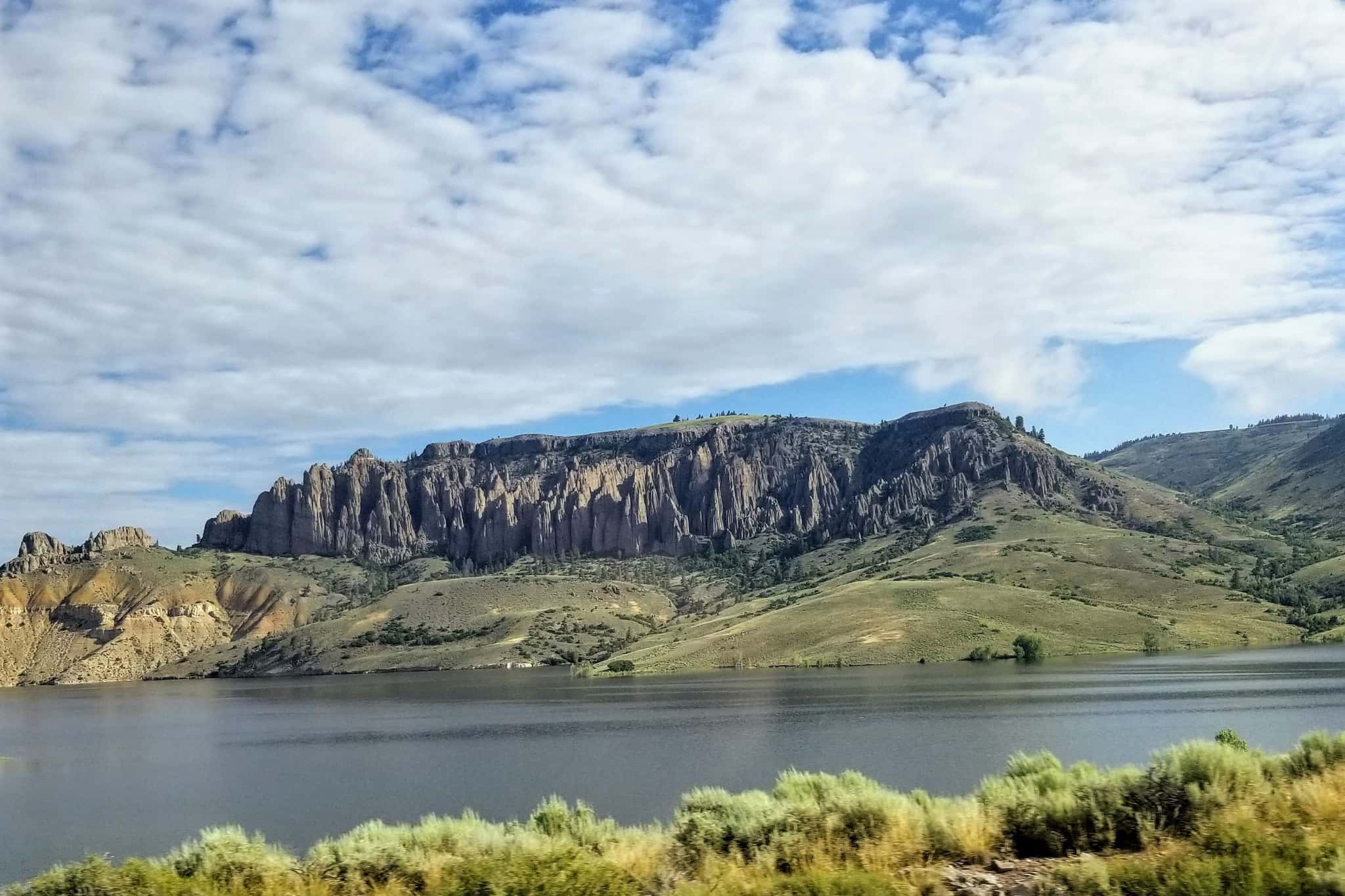
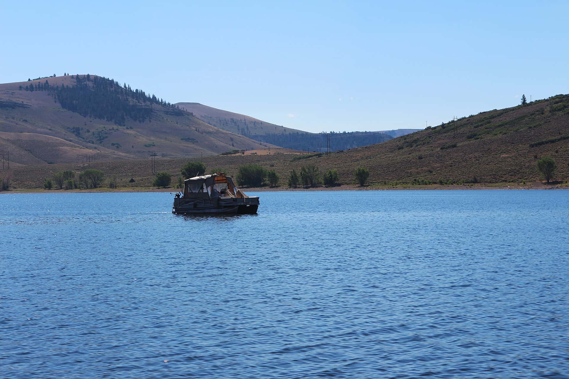
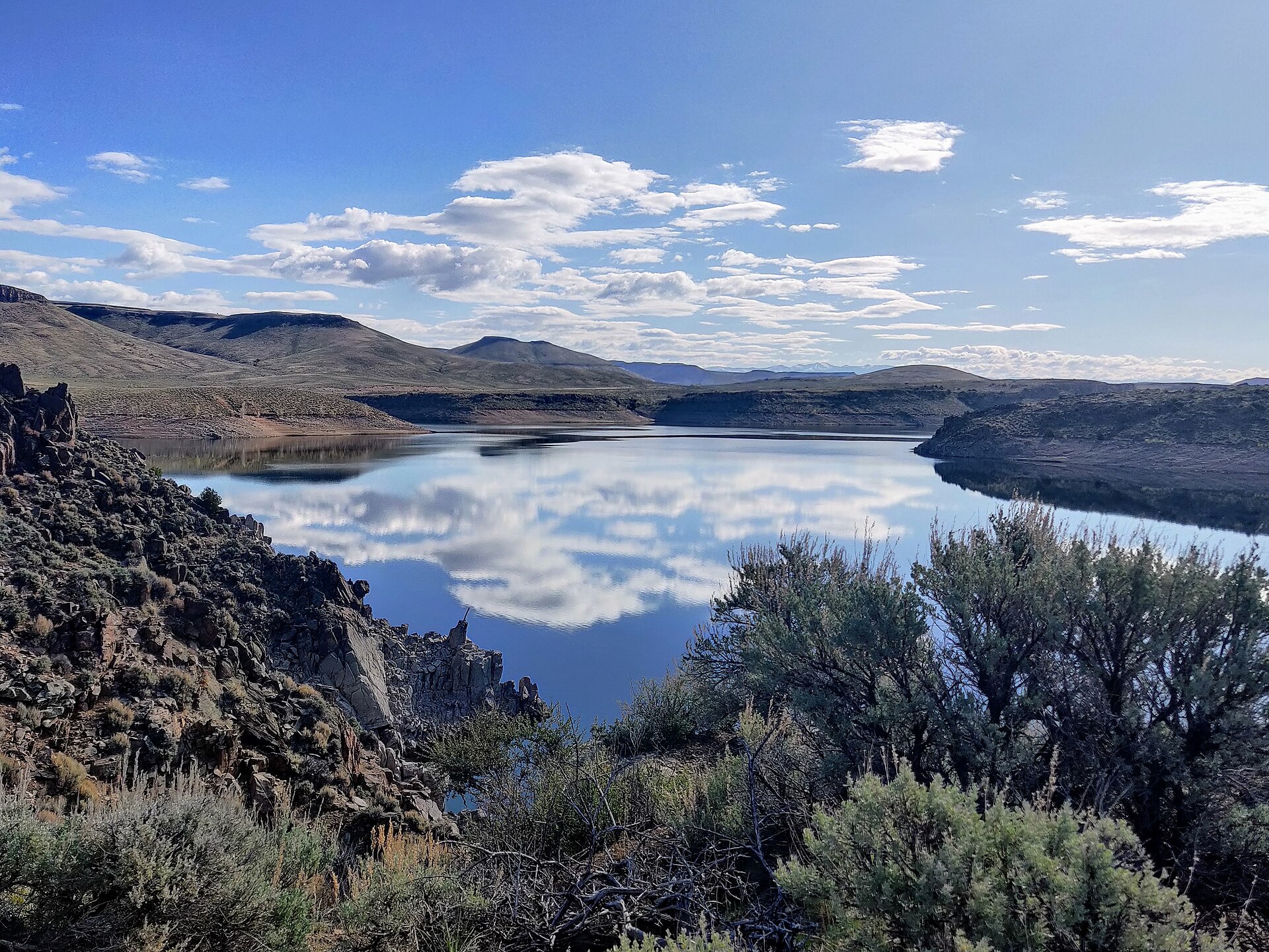
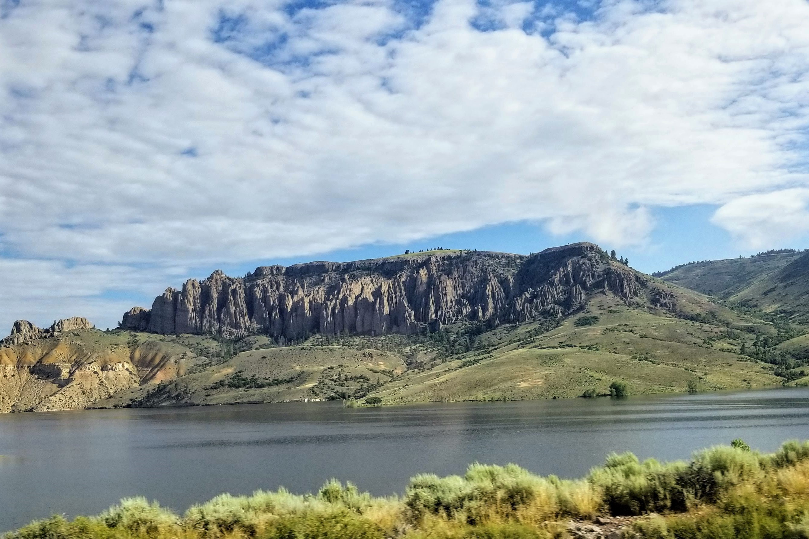
Blue Mesa Reservoir covers 8,924 acres in Colorado, across Gunnison County. It is a reservoir: 91.3% of it is 200 feet deep or less; the deepest point measured is ≈319 feet (97.3 m). Our records hold 10 species for this water.
Depth and bottom
Deepest measured point: ≈319 ft (97.3 m). 91.3% of the water is 200 feet or shallower. We hold 180 depth contours for this water, drawn from 354,373 soundings.
- 0–20 ft: 9.8% of the water
- 20–40 ft: 13% of the water
- 40–60 ft: 13.9% of the water
- 60–80 ft: 13% of the water
- 80–100 ft: 11.4% of the water
- 100–120 ft: 9.3% of the water
- 120–140 ft: 6.6% of the water
- 140–160 ft: 5.5% of the water
- 160–180 ft: 4.9% of the water
- 180–200 ft: 3.9% of the water
- 200–220 ft: 2.2% of the water
- 220–240 ft: 1.7% of the water
- 240–260 ft: 1.6% of the water
- 260–280 ft: 1.8% of the water
- 280–300 ft: 1.6% of the water
4 target fish, led by Rainbow Trout
- Rainbow Trout — Feeding water: 50–65°F.
- Brown Trout — Feeding water: 50–65°F.
- Yellow Perch — Feeding water: 45–75°F.
- Lake Trout — Feeding water: 50–65°F.
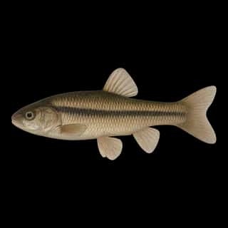
Also recorded here: Northern Pike, Cutthroat Trout, Brook Trout, Longnose Sucker, White Sucker, Fathead Minnow.
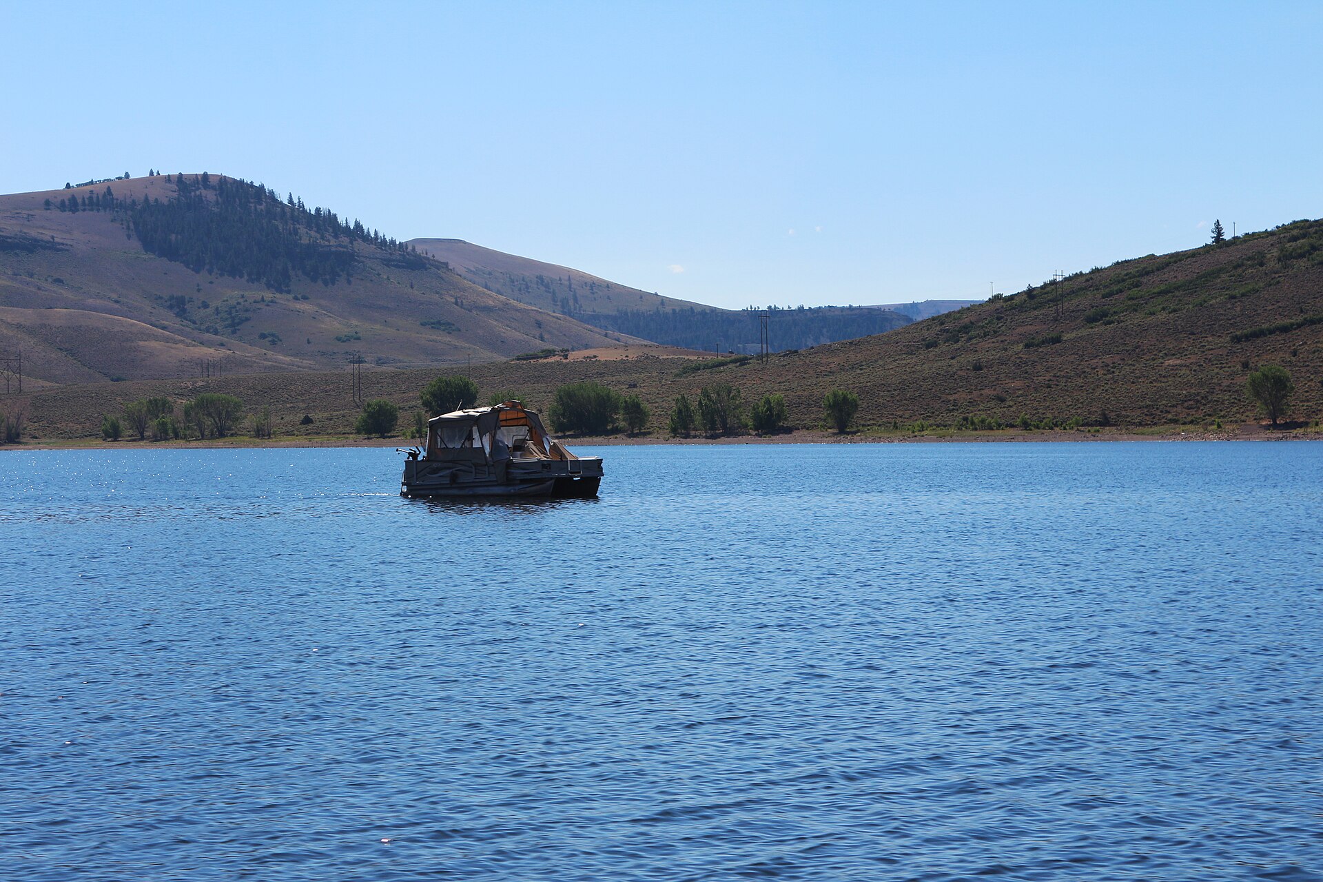
Water and conditions
Water clarity runs 6.7–20.9 feet on our readings, averaging 12.7 feet, from 103 readings. Our water temperature readings average 61°F; they do not cover the whole year, so this is not a yearly average. The coldest single reading we hold is 32°F and the warmest is 86°F; the warmest monthly average is 65°F. pH averages 8.1. These readings span 2016–2023.
1 ramp or launch on this water
On this water we hold 1 boat ramp.
- Lake Fork Marina — Curecanti National Recreation Area.
The place listed has no fee or opening hours on file: a blank means we hold no such field, not that it is free or always open, and this list may not be complete.
What is hard here
Wind is the limit, not the fish: 8,924 acres of open water build a short steep chop, and there is no shelter in the middle. Clarity swings from 6.7 to 20.9 feet between our readings — the water you meet is not the water someone photographed. Only 1 public ramp is on file, so the launch decides where you fish.
Where this data comes from
- US Bureau of Reclamation, Technical Service Center — USBR reservoir bottom surfaces (GIS): class A, a survey of the bottom, 2019.
- NOAA National Geodetic Survey / Office for Coastal Management — NOAA topobathymetric lidar DEMs: class A, a survey of the bottom.
- U.S. Bureau of Reclamation (RISE) — USBR area-capacity tables (RISE): class B, a depth figure measured and published by an agency, without a bottom map.
- EPA NLA — EPA National Lakes Assessment: class B, a depth figure measured and published by an agency, without a bottom map.
Part of these depths rest on an averaged water level, so they are approximate (≈).