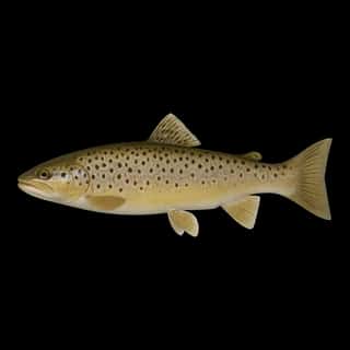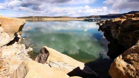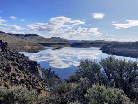
El Vado Reservoir fishing: Rainbow Trout, Brown Trout
Target species: Rainbow Trout, Brown Trout
The reservoir
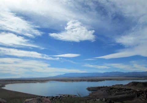
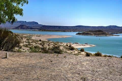
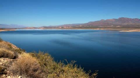
El Vado Reservoir covers 3,078 acres in New Mexico, across Rio Arriba County. It is a reservoir: 97.5% of it is 100 feet deep or less; the deepest point measured is ≈115 feet (35.1 m). Our records hold 3 species for this water.

Depth and bottom
Deepest measured point: ≈115 ft (35.1 m). 97.5% of the water is 100 feet or shallower. We hold 36 depth contours for this water, drawn from 560,334 soundings.
- 0–10 ft: 28.9% of the water
- 10–20 ft: 15.4% of the water
- 20–30 ft: 8.5% of the water
- 30–40 ft: 6.5% of the water
- 40–50 ft: 6.4% of the water
- 50–60 ft: 5.3% of the water
- 60–70 ft: 5.9% of the water
- 70–80 ft: 5.5% of the water
- 80–90 ft: 4.8% of the water
- 90–100 ft: 10.3% of the water
- 100–110 ft: 2.6% of the water
2 target fish, led by Rainbow Trout
- Rainbow Trout — Feeding water: 50–65°F.
- Brown Trout — Feeding water: 50–65°F.
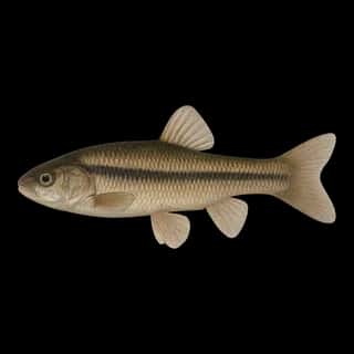
Also recorded here: Fathead Minnow.
Where this data comes from
- US Bureau of Reclamation — USBR reservoir sedimentation surveys: class A, a survey of the bottom, 2007.
- US Bureau of Reclamation, Technical Service Center — USBR reservoir bottom surfaces (GIS): class A, a survey of the bottom, 2018.
- USACE CWMS — USACE CWMS elevation-area curves: class B, a depth figure measured and published by an agency, without a bottom map.
- U.S. Bureau of Reclamation (RISE) — USBR area-capacity tables (RISE): class B, a depth figure measured and published by an agency, without a bottom map.
Part of these depths rest on an averaged water level, so they are approximate (≈).