Lake Brownwood fishing: Walleye, Largemouth Bass, Smallmouth Bass
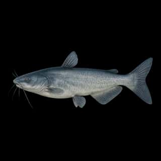
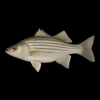
Target species: Walleye, Largemouth Bass, Smallmouth Bass, Blue Catfish, White Bass, Channel Catfish, Sunshine Bass
The lake
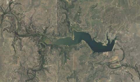
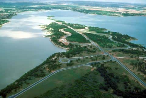
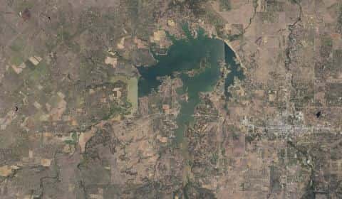
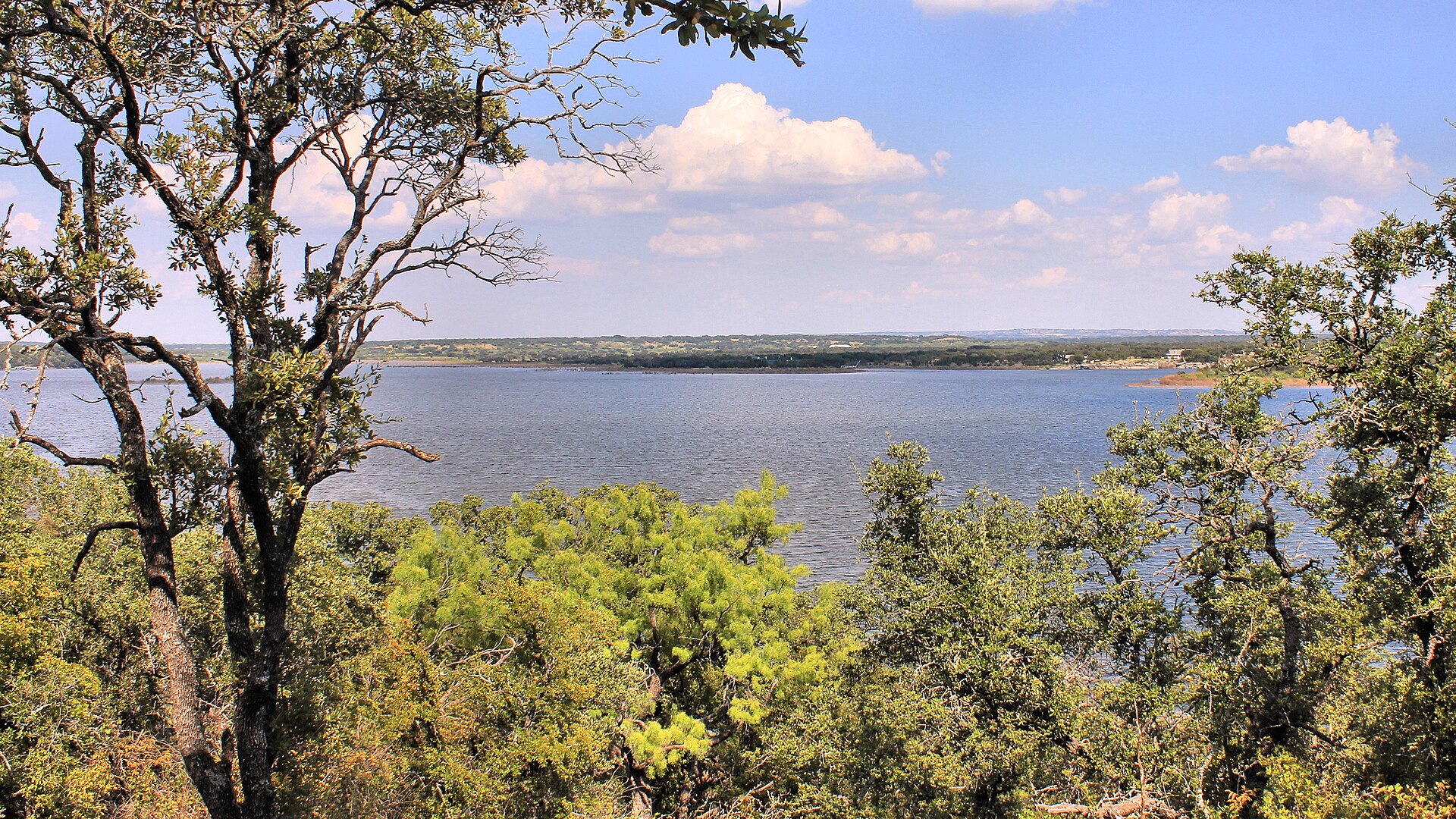
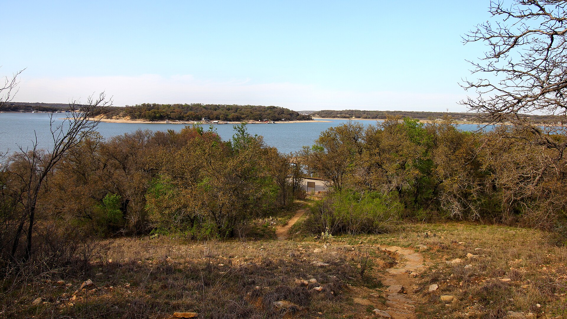
Lake Brownwood covers 3,167 acres in Texas, across Brown County. It is a lake: 91.1% of it is 24 feet deep or less; the deepest point measured is 50.7 feet (15.5 m). Our records hold 9 species for this water.
7 target fish, led by Walleye
- Walleye — Feeding water: 50–75°F.
- Largemouth Bass — Feeding water: 65–85°F.
- Smallmouth Bass — Feeding water: 60–75°F.
- Blue Catfish — Feeding water: 70–85°F.
- White Bass — Feeding water: 65–75°F.
- Channel Catfish — Feeding water: 70–85°F.
- Sunshine Bass — Feeding water: 70–80°F. Nonnative.
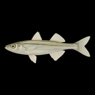
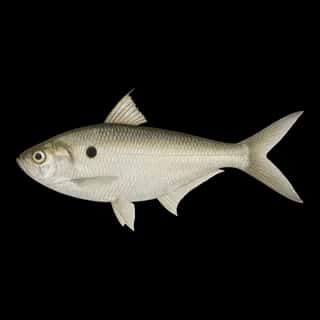
Also recorded here: Threadfin Shad, Inland Silverside.
Stocking: 9,052,904 fish, 1986–2026
Texas Parks and Wildlife Department records list 9,052,904 fish released into this water from 1986 to 2026.
- Walleye: 3,125,000 in 1976–1978
- Blue Catfish: 1,587,760 in 1988–2024
- Largemouth Bass: 510,305 in 1969–1996
- Smallmouth Bass: 142,950 in 1980–1982
- Channel Catfish: 77,785 in 1972–2024
- Threadfin Shad: 1,000 in 1984
4 more species on the stocking list.
Depth: down to 50.7 ft at the deepest measured point
Deepest measured point: 50.7 ft (15.5 m). 91.1% of the water is 24 feet or shallower. We hold 86 depth contours for this water, drawn from 94,538 soundings.
- 0–3 ft: 31.6% of the water
- 3–6 ft: 17% of the water
- 6–9 ft: 11.5% of the water
- 9–12 ft: 9.5% of the water
- 12–15 ft: 8.7% of the water
- 15–18 ft: 4.5% of the water
- 18–21 ft: 4.7% of the water
- 21–24 ft: 3.6% of the water
- 24–27 ft: 2.6% of the water
- 27–30 ft: 2.2% of the water
- 30–33 ft: 1.5% of the water
- 33–36 ft: 1.4% of the water
- 36–39 ft: 1% of the water
- 39–42 ft: 0.3% of the water
- 42–45 ft: 0.1% of the water
Water and conditions
Water clarity runs 0.5–4.3 feet on our readings, averaging 2.4 feet, from 56 readings. pH averages 8. These readings span 2017–2026.
What is hard here
Clarity swings from 0.5 to 4.3 feet between our readings — the water you meet is not the water someone photographed.
Where this data comes from
- Texas Water Development Board — Texas Water Development Board: depth contours: class A, a survey of the bottom, 2013.