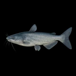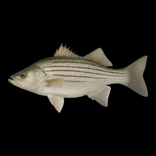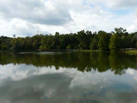
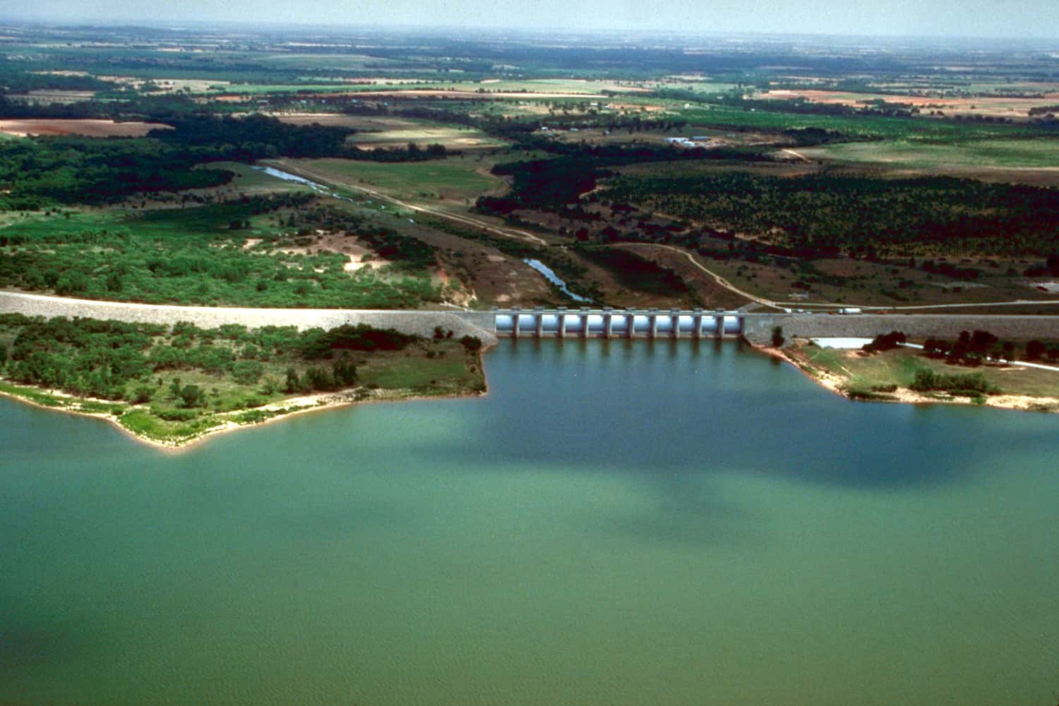
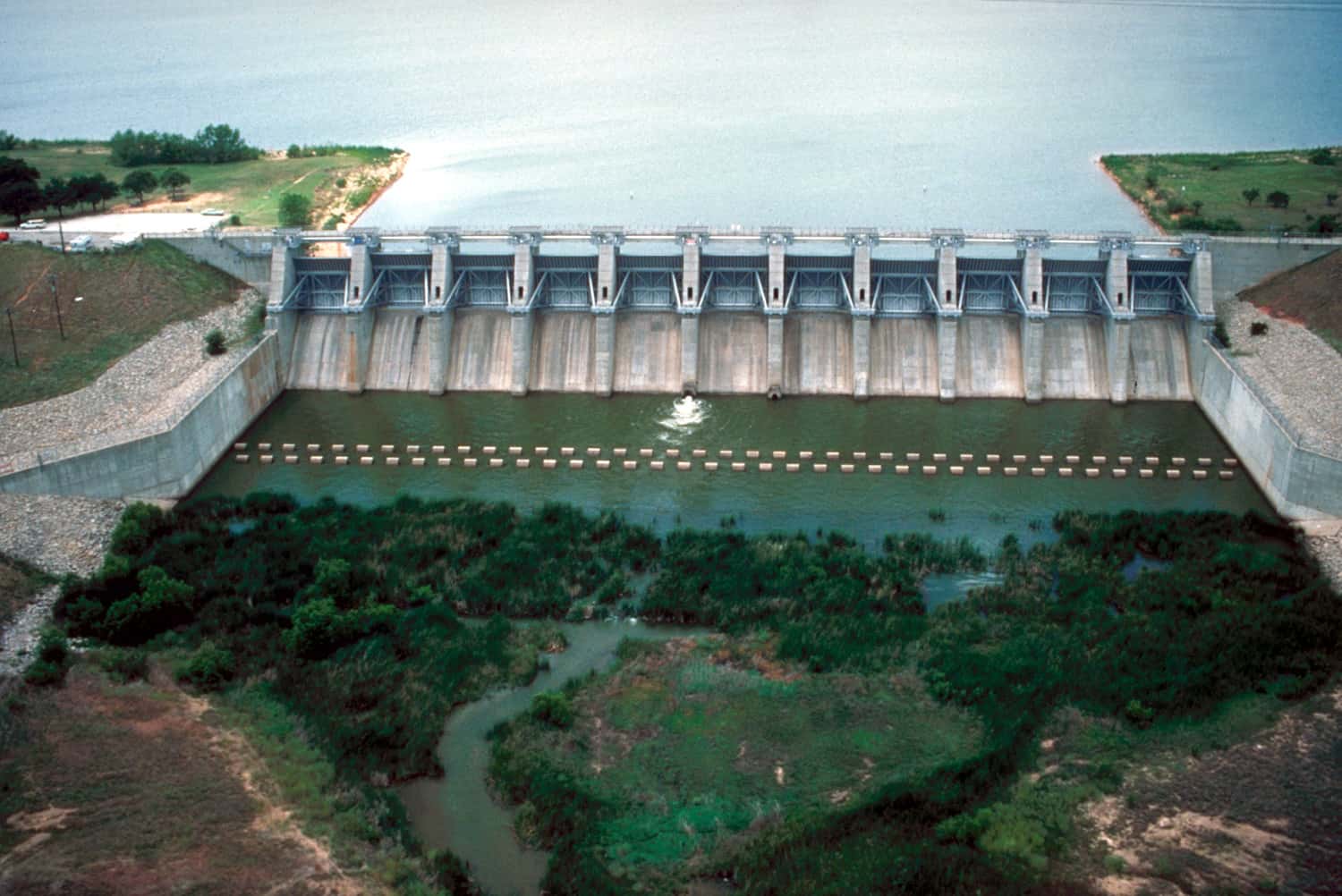
Proctor Lake fishing: Largemouth Bass, White Bass, Blue Catfish
Target species: Largemouth Bass, White Bass, Blue Catfish, Sunshine Bass
The reservoir
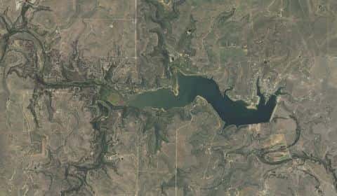
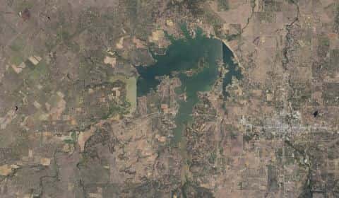
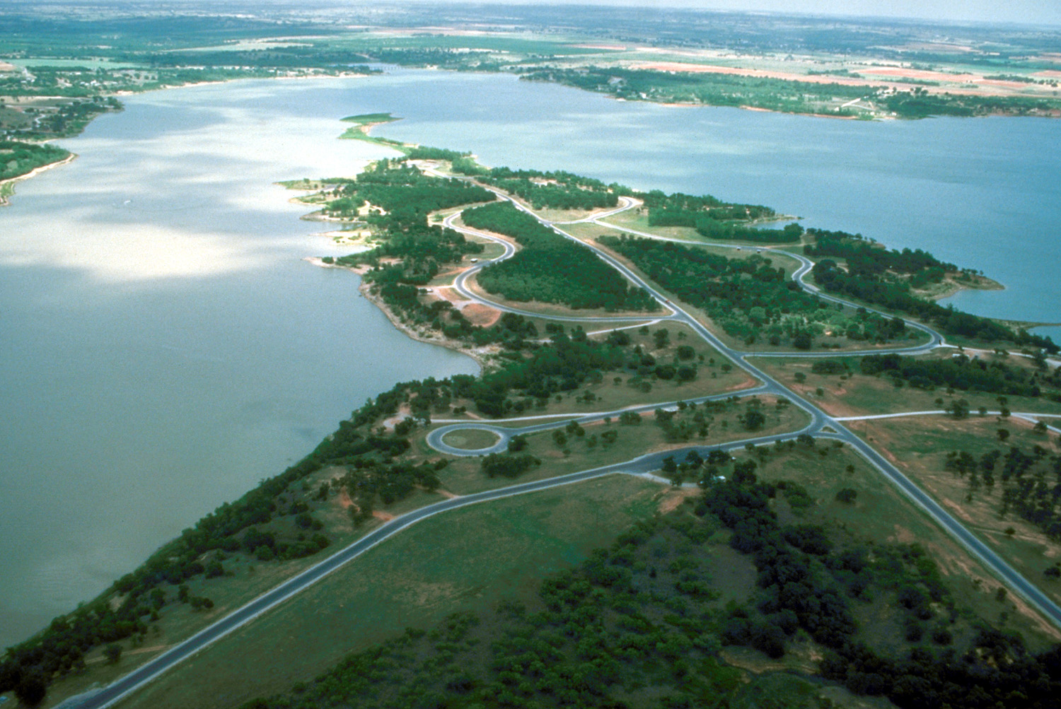
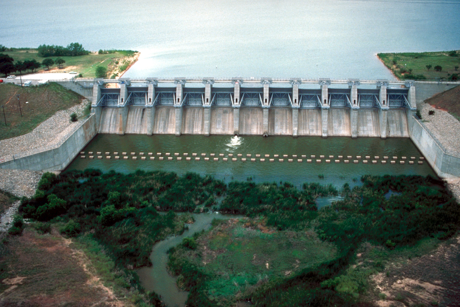
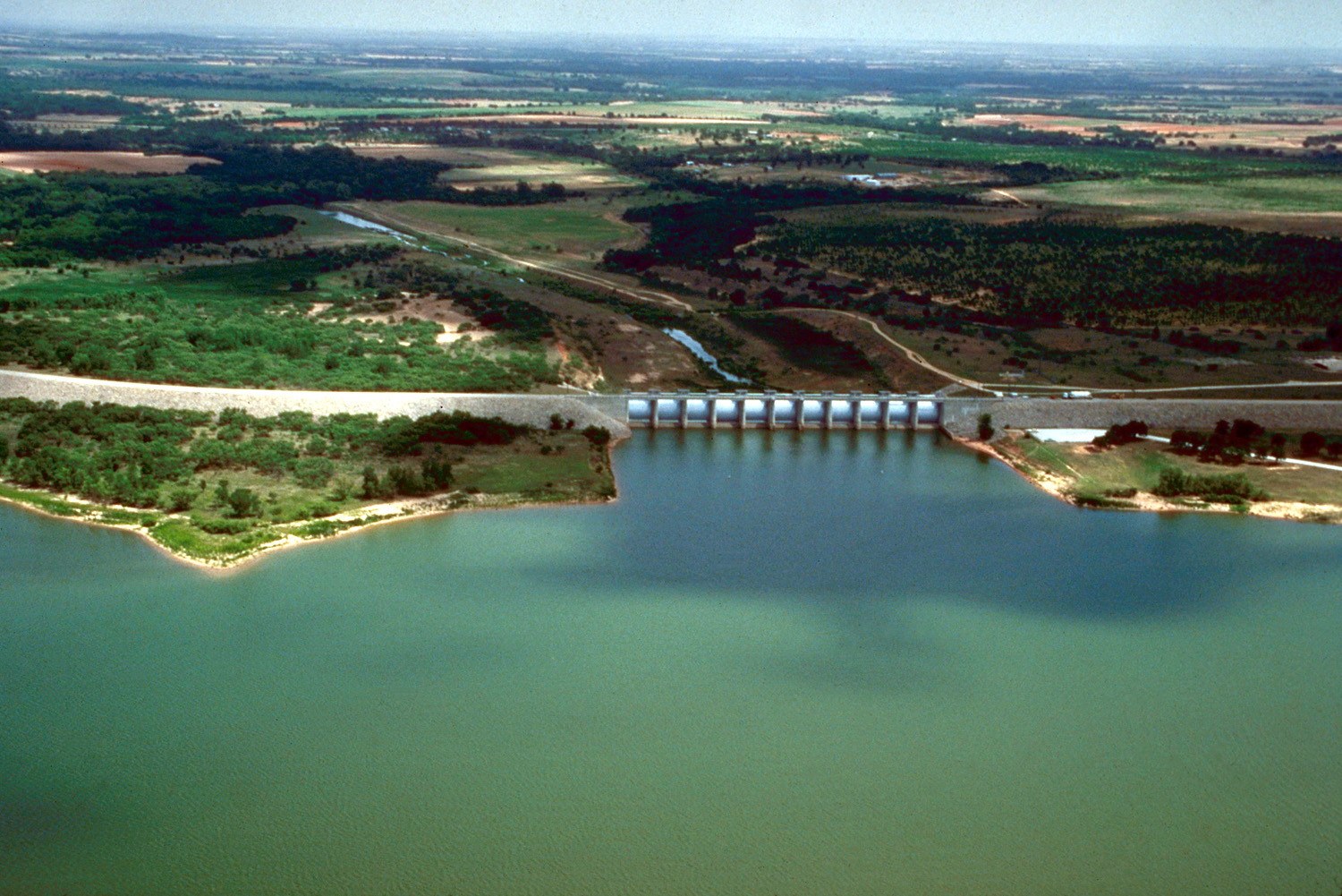
Proctor Lake covers 4,690 acres in Texas, across Comanche County. It is a reservoir: 96.6% of it is 28 feet deep or less; the deepest point measured is 30 feet (9.2 m); at the dam, USGS RESSED gives 42 feet (12.8 m) at full pool. Our records hold 6 species for this water.
Depth: down to 30 ft at the deepest measured point
Deepest measured point: 30 ft (9.2 m). USGS RESSED gives 42 ft (12.8 m) at the dam at full pool: a measured figure, not a survey map. 96.6% of the water is 28 feet or shallower. We hold 136 depth contours for this water, drawn from 140,569 soundings.
- 0–2 ft: 11.5% of the water
- 2–4 ft: 6.3% of the water
- 4–6 ft: 8.7% of the water
- 6–8 ft: 18.9% of the water
- 8–10 ft: 6.1% of the water
- 10–12 ft: 5% of the water
- 12–14 ft: 6.6% of the water
- 14–16 ft: 4.6% of the water
- 16–18 ft: 4.9% of the water
- 18–20 ft: 5.3% of the water
- 20–22 ft: 3.2% of the water
- 22–24 ft: 4.5% of the water
- 24–26 ft: 3.8% of the water
- 26–28 ft: 7.2% of the water
- 28–30 ft: 3.5% of the water
Stocking: 6,451,253 fish, 1994–2025
Texas Parks and Wildlife Department records list 6,451,253 fish released into this water from 1994 to 2025.
- Sunshine Bass: 1,879,912 in 2014–2025
- Blue Catfish: 986,239 in 1991–2025
- Largemouth Bass: 100,000 in 1970
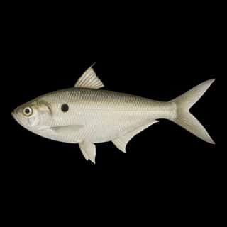
- Threadfin Shad: 1,000 in 1984
3 more species on the stocking list.
4 target fish, led by Largemouth Bass
- Largemouth Bass — Feeding water: 65–85°F.
- White Bass — Feeding water: 65–75°F.
- Blue Catfish — Feeding water: 70–85°F.
- Sunshine Bass — Feeding water: 70–80°F. Nonnative.
Also recorded here: Common Carp, Threadfin Shad.
Where this data comes from
- Texas Water Development Board — Texas Water Development Board: depth contours: class A, a survey of the bottom, 2012.
- USGS RESSED — USGS RESSED reservoir sedimentation database: class B, a depth figure measured and published by an agency, without a bottom map.
- USACE CWMS — USACE CWMS elevation-area curves: class B, a depth figure measured and published by an agency, without a bottom map.