Hay Lake fishing: Northern Pike, Largemouth Bass, Walleye
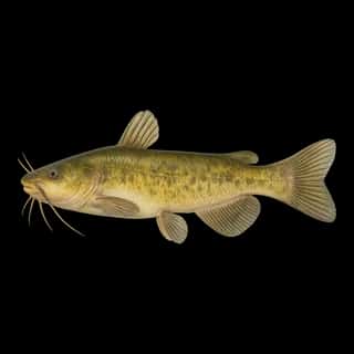
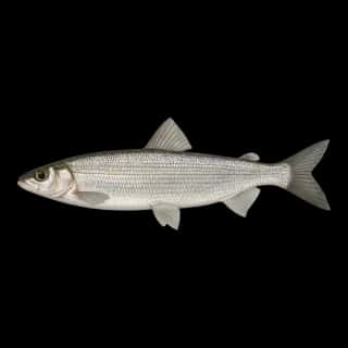
Target species: Northern Pike, Largemouth Bass, Walleye, Black Bullhead, Black Crappie, Bluegill, Cisco
Boat: 1 ramp or launch on file for this water.
Start here: Launch at Hay Lake Public Water Access Site, 1 lane.
The lake
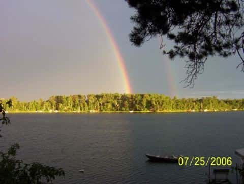
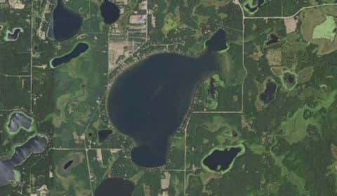
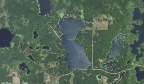
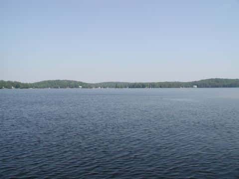
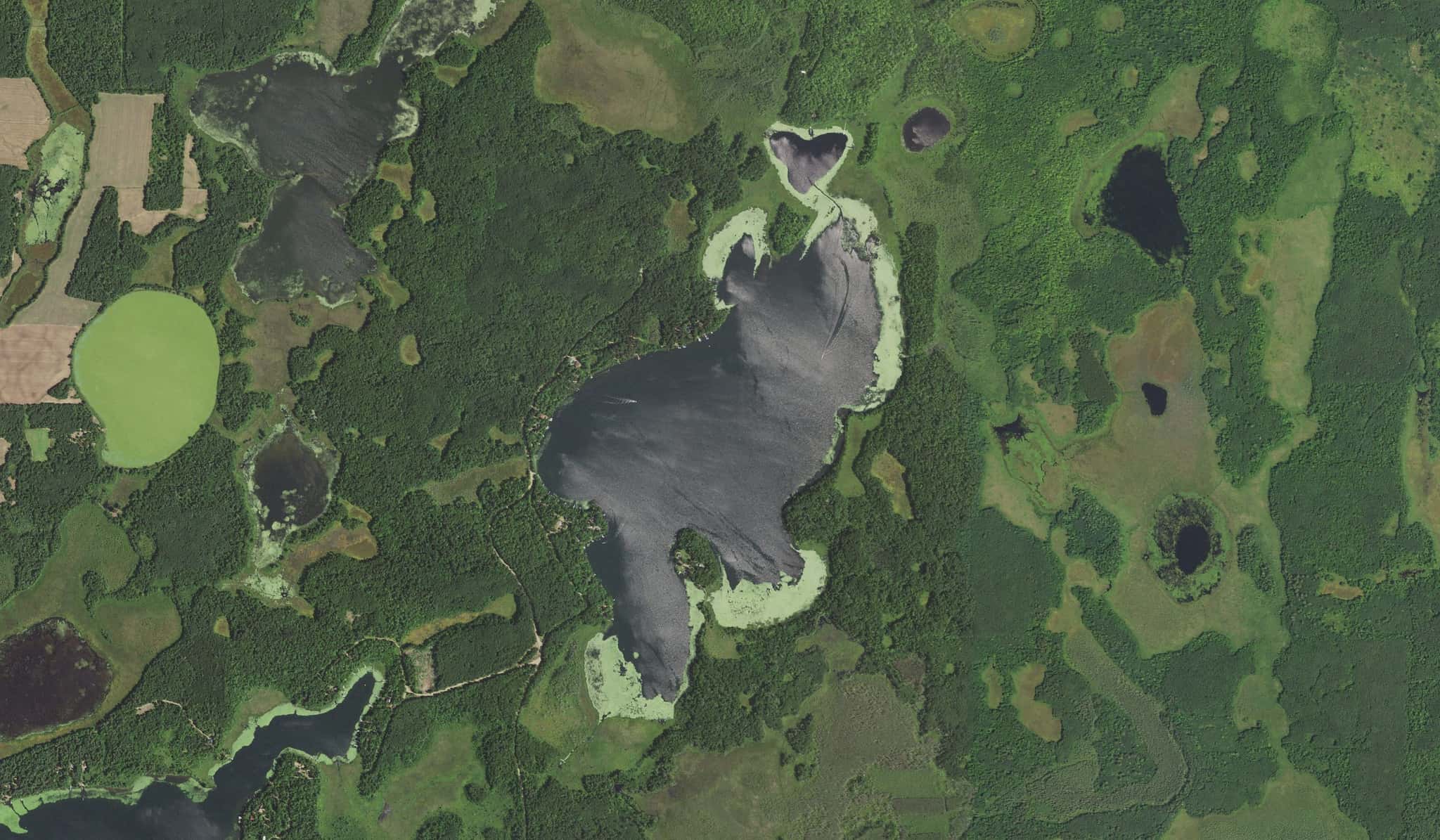
Hay Lake covers 363 acres in Minnesota, across Cass County. It is a lake: 90% of it is 30 feet deep or less; the deepest point measured is at least 50 feet (15.2 m). Our records hold 13 species for this water.
7 target fish, led by Northern Pike
- Northern Pike — Feeding water: 50–75°F.
- Largemouth Bass — Feeding water: 65–85°F.
- Walleye — Feeding water: 50–75°F.
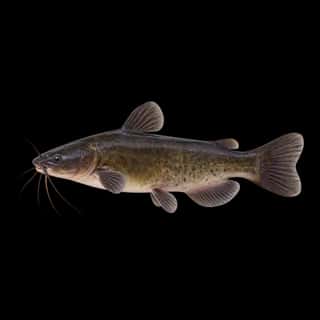
- Black Bullhead — Feeding water: 70–80°F.
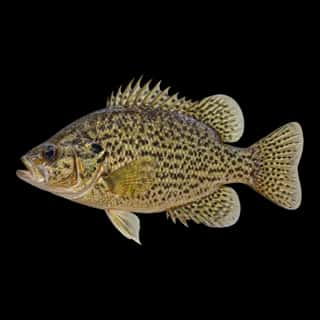
- Black Crappie — Feeding water: 65–75°F.
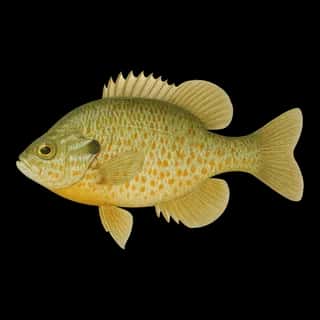
- Bluegill — Feeding water: 70–85°F.
- Cisco — Feeding water: 40–60°F.
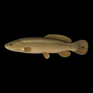
Also recorded here: Rock Bass, Yellow Perch, Pumpkinseed, Bowfin, Brown Bullhead, Yellow Bullhead.
Depth and bottom
Deepest measured point: at least 50 ft (15.2 m). That is the deepest contour line: the bottom goes deeper. 90% of the water is 30 feet or shallower. We hold 43 depth contour lines for this water.
- 0–3 ft: 15.1% of the water
- 3–6 ft: 11.2% of the water
- 6–9 ft: 9.4% of the water
- 9–12 ft: 8.8% of the water
- 12–15 ft: 8.3% of the water
- 15–18 ft: 7.8% of the water
- 18–21 ft: 7.6% of the water
- 21–24 ft: 7.4% of the water
- 24–27 ft: 7.2% of the water
- 27–30 ft: 7.2% of the water
- 30–33 ft: 5.5% of the water
- 33–36 ft: 2.2% of the water
- 36–39 ft: 1.4% of the water
- 39–42 ft: 0.5% of the water
- 42–45 ft: 0.3% of the water
1 ramp or launch on this water
On this water we hold 1 trailer ramp.
- Hay Lake Public Water Access Site — 1 lane. DNR Division of Parks and Trails.
The place listed has no fee or opening hours on file: a blank means we hold no such field, not that it is free or always open, and this list may not be complete.
Water and conditions
Our water temperature readings average 72°F; they do not cover the whole year, so this is not a yearly average. pH averages 8.3. These readings span 2017–2024.
What is hard here
Only 1 public ramp is on file, so the launch decides where you fish.
Where this data comes from
- Minnesota DNR — Minnesota DNR: depth contours: class A, a survey of the bottom.
- Minnesota DNR — Minnesota DNR: reported depths: class B, a depth figure measured and published by an agency, without a bottom map.
- Webster, K.E., McCullough, I.M., Soranno, P.A. LAGOS-US DEPTH v1.0, EDI, doi:10.6073/pasta/64ddc4d04661d9aef4bd702dc5d8984f (CC BY 4.0); Cheruvelil et al. LAGOS-US LOCUS v1.0 (EDI) — LAGOS-US DEPTH v1.0: Lake depth for 17,675 lakes in the conterminous U.S.: class B, a depth figure measured and published by an agency, without a bottom map.