Long Island Sound fishing: Scup, Bluefish, Summer Flounder
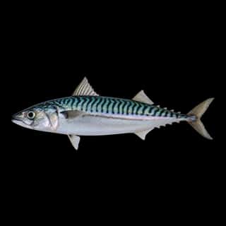
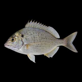
Target species: Scup, Bluefish, Summer Flounder, Black Sea Bass, Atlantic Mackerel
Best months: Jun, Jul, Aug, Sep for Scup
Second window: Jun, Jul, Aug, Sep for Bluefish
Boat: 37 ramps and launches on file for this water.
Start here: Launch at Bayberry Lane State Boat Launch, 2 lanes.
The estuary
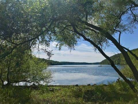
Long Island Sound covers 801,802 acres in Connecticut, across 5 counties: Southeastern Connecticut, Western Connecticut, South Central Connecticut, Greater Bridgeport and Lower Connecticut River Valley. It is an estuary: the deepest point measured is 383 feet (116.7 m). Our records hold 9 species for this water. 45% of the water lies in New York.
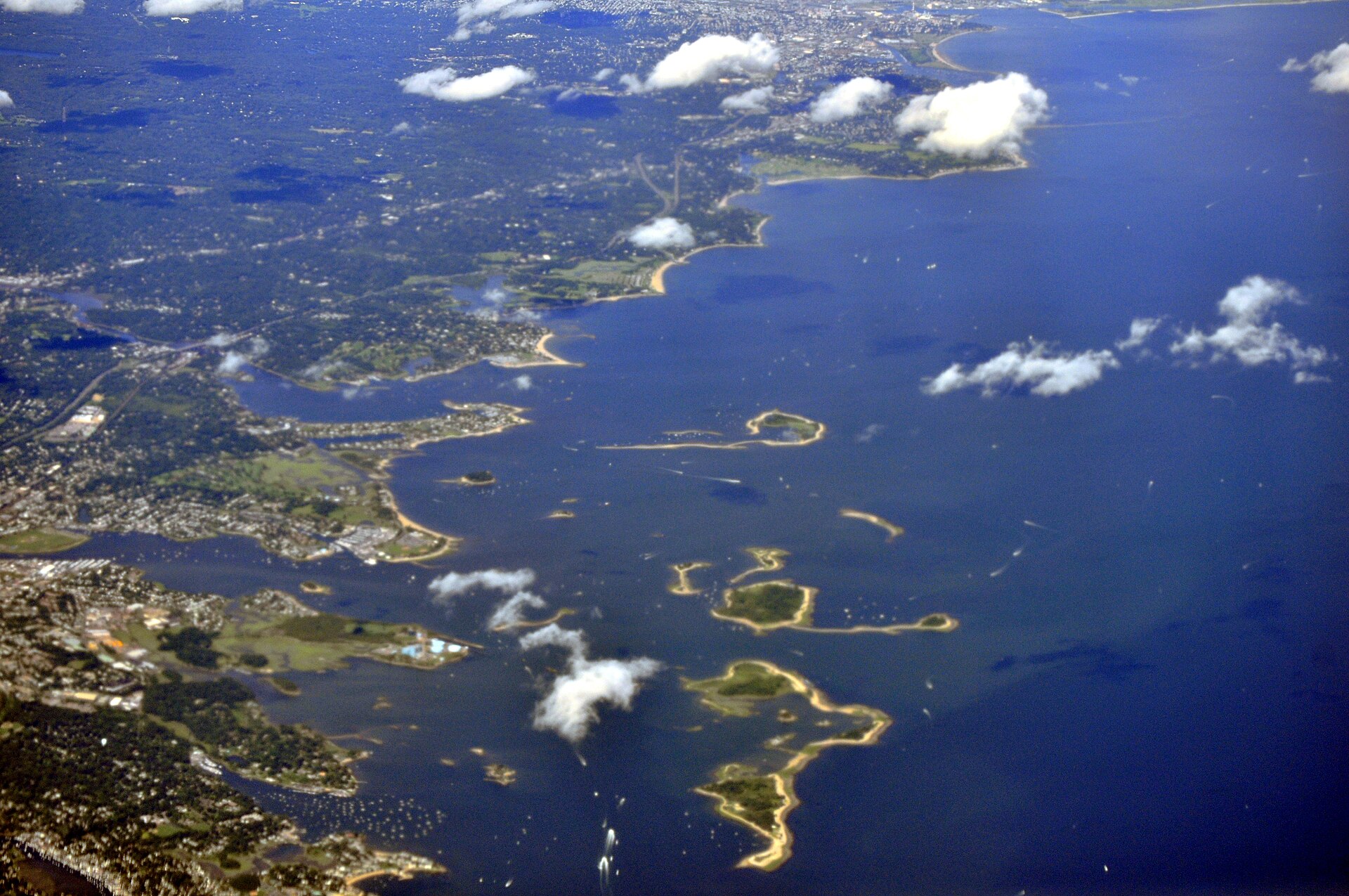
Depth: down to 383 ft at the deepest measured point
Deepest measured point: 383 ft (116.7 m). We hold 4 depth contours for this water, drawn from 1,509,474 soundings.
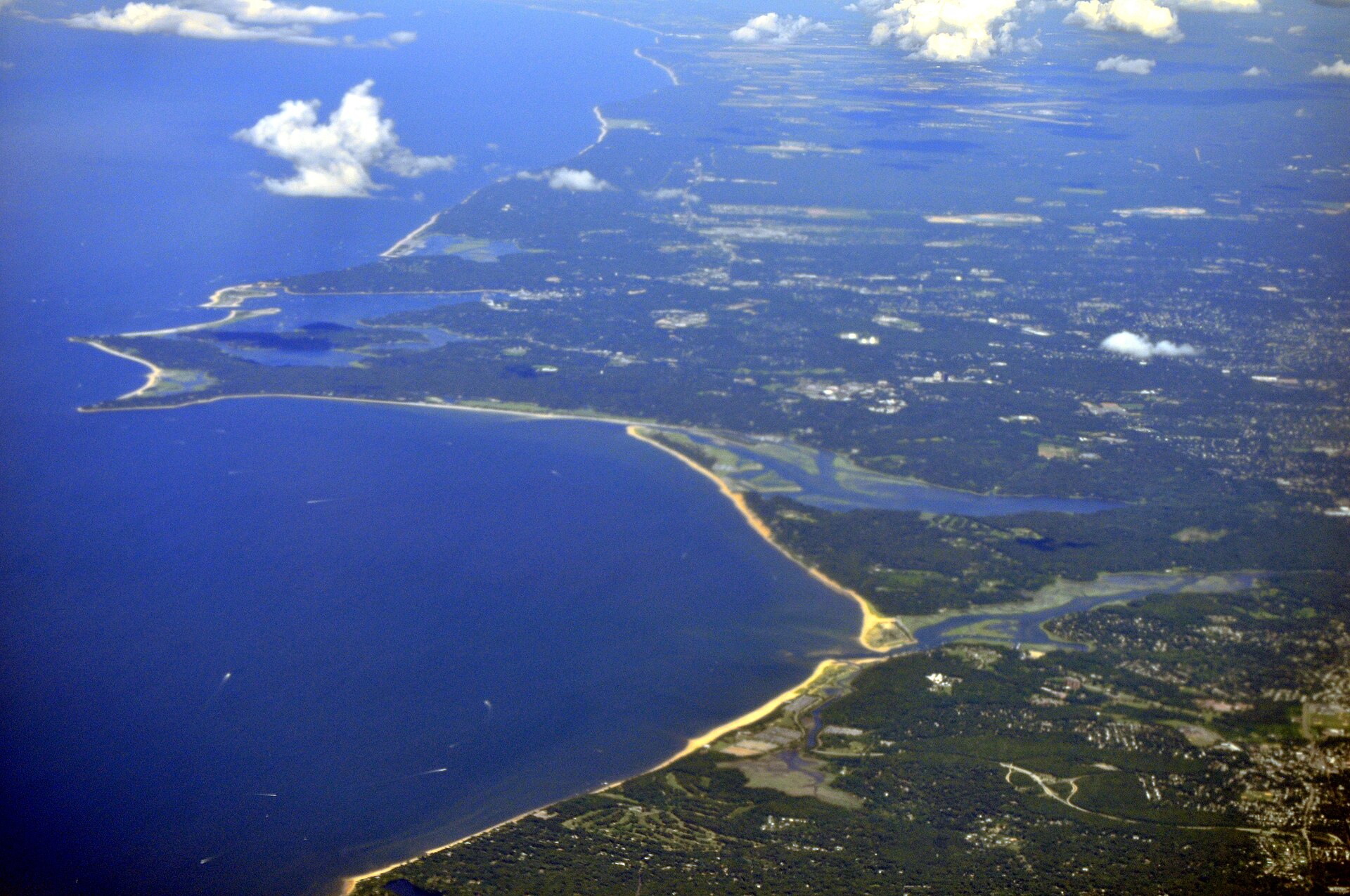
37 ramps and launches on this water
On this water we hold 2 trailer ramps, 35 boat ramps, 14 fishing piers and 39 shore access points.
- Bayberry Lane State Boat Launch — 2 lanes, restrooms. On Fishers Island Sound, Groton, Bayberry Lane Water Access. Bayberry Lane, Groton 06340 · website ct.gov/deep/cwp/view.asp?a=2686&q=382854&deepNav_GID=1620
- Barn Island State Boat Launch — restrooms. On Little Narragansett Bay, Stonington, Barn Island Wildlife Management Area. End of Palmer Neck Road, Stonington 06379 · website ct.gov/deep/cwp/view.asp?a=2686&q=383778&deepNav_GID=1620
- Bayside Marina — Bayside, Bayside Marina. 28-05 Cross Island Parkway, Bayside 11360 · phone +1-718-229-0097 · website baysidemarinany.com/home.html · email [email protected]
- Dock Road State Boat Launch — restrooms. Waterford, Dock Road Water Access. 12 Dock Road, Waterford 06385 · website ct.gov/deep/cwp/view.asp?a=2686&q=383850&deepNav_GID=1620
- Hammonasset Beach Boat Launch — Madison, Hammonasset Beach State Park. 1288 Boston Post Road, Madison · website portal.ct.gov/DEEP/Boating/Boat-Launches/Hammonasset-Beach-Boat-Launch
- Marina — Groton, Spicer's Marina. 93 Marsh Road, Groton 06340 · phone +18605364978 · website spicersmarina.com
- Noank Marine Services — Groton, Bruce Avery. 55 Spicer Avenue, Groton 06340 · phone +1-860-536-0221 · website noankmarineservice.com · email [email protected]
- Noank Shipyard — Groton, TPG Marinas. 145 Pearl Street, Groton 06340 · phone +1-860-556-2000 · website noankshipyard.com
- Safe Harbor Yacht Haven — Stamford, Safe Harbor. 181 Harbor Drive, Stamford 06902 · phone +1-203-359-4500 · website shmarinas.com/locations/safe-harbor-yacht-haven · email [email protected]
- Ash Creek Open Space — restrooms. Fairfield. Riverside Drive and Turney Road, Fairfield 06430 · website fairfieldct.org
Fishing piers
- Altschuler Beach — West Haven. Altschuler Street, West Haven 06516 · website cityofwesthaven.com/172/Parks-and-Recreation
- Branford Point — Branford. Harbor Street, Branford 06405 · website branford-ct.gov/parks
- Cini Memorial Park — restrooms. East Lyme. Main Street, East Lyme 06357 · website eltownhall.com/government/departments/parks-recreation
- Clinton Town Marina — restrooms. Clinton. Riverside Drive, Clinton 06413 · website ct-clinton.civicplus.com/Facilities/Facility/Details/Town-Marina-98
- Cove Island Park — restrooms. Stamford. 1125 Cove Road, Stamford 06902 · website stamfordct.gov/city-parks/pages/cove-island-park
- East Wharf Beach — restrooms. Madison. 122 East Wharf Road, Madison 06443 · website madisonct.org/612/East-Wharf-Beach
- Fort Nathan Hale Park — restrooms. New Haven. Woodward Road Avenue, New Haven 06512 · website cityofnewhaven.com/Parks/index.asp
- Gulf Beach — restrooms. Milford. Gulf Street, Milford 06460 · website ci.milford.ct.us/recreation
Shore access for bank fishing
- Baybrook Beach — West Haven. New Haven Avenue, West Haven 06516 · website cityofwesthaven.com
- Bradley Point Park — restrooms. West Haven. Captain Thomas Boulevard, West Haven 06516 · website cityofwesthaven.com/172/Parks-and-Recreation
- Burying Hill Beach and Wetlands — restrooms. Westport. Beachside Avenue, Westport 06880 · website westportct.gov/index.aspx?page=322
- Calf Pasture Overlook — Groton. 732 Shennecossett Road, Groton 06355
- Canal Road Water Access Area — Westport. Canal Road and Cockenoe Drive, Westport 06880 · website westportct.gov/index.aspx?page=91
- Cockenoe Island — Westport. Cockenoe Island, Westport 06880 · website westportct.gov/index.aspx?page=294
- Community Beach — Norwalk. 61 Rowayton Avenue, Norwalk 06853 · website ct-norwalk.civicplus.com/index.aspx?NID=275
- Compo Colonial Cemetery — Westport. Compo Beach Road, Westport 06880 · website westportct.gov/index.aspx?page=91
Fee and opening hours are blank for all 26 places in this list: a blank means we hold no such field, not that it is free or always open, and this list may not be complete.
5 target fish, led by Scup
- Scup — Best months: Jun, Jul, Aug, Sep.
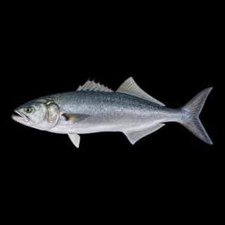
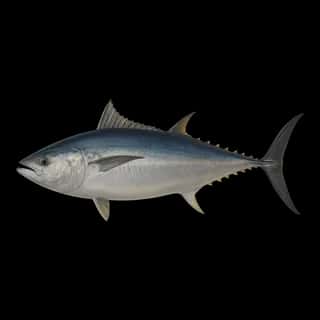
- Bluefish — Best months: Jun, Jul, Aug, Sep.
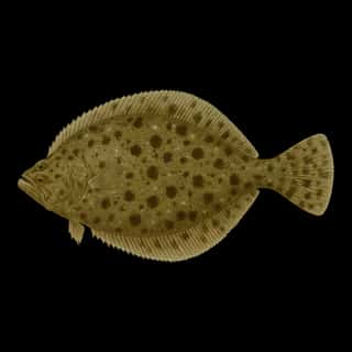
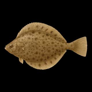
- Summer Flounder — Best months: Jun, Jul, Sep, Oct.
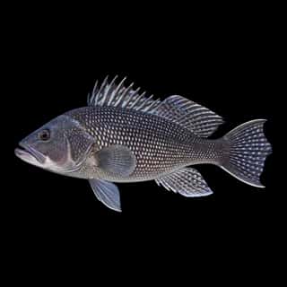
- Black Sea Bass — Best months: Jun, Jul, Sep, Oct.
- Atlantic Mackerel — Best months: Jun, Oct.
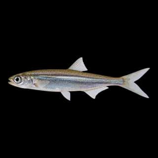
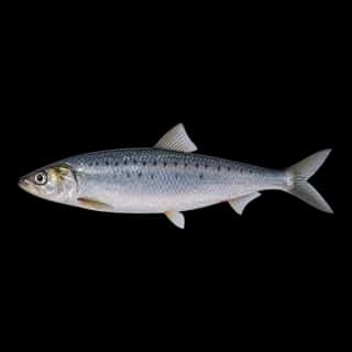
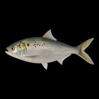
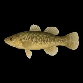
Also recorded here: Atlantic Herring, Atlantic Menhaden, Mummichog, Bay Anchovy.
Water and conditions
Water clarity runs 3–24.6 feet on our readings, averaging 12.7 feet, from 9,358 readings. Water temperature averages 68°F across the year. The coldest single reading we hold is 32°F and the warmest is 84°F; the warmest monthly average is 75°F. pH averages 7.7. These readings span 2016–2026.
Monthly average water temperature: Jan 39°F · Feb 38°F · Mar 42°F · Apr 51°F · May 59°F · Jun 66°F · Jul 73°F · Aug 75°F · Sep 71°F · Oct 63°F · Nov 53°F · Dec 45°F
Season by season
- Winter (Dec, Jan, Feb, Mar, 38–45°F) — No species in our records peaks in these months.
- Spring (Apr, May, Jun, 51–66°F) — Biting: Scup, Bluefish, Summer Flounder, Black Sea Bass, Atlantic Mackerel.
- Summer (Jul, Aug, Sep, 71–75°F) — Biting: Scup, Bluefish, Summer Flounder, Black Sea Bass.
- Fall (Oct, Nov, 53–63°F) — Biting: Summer Flounder, Black Sea Bass, Atlantic Mackerel.
What is hard here
Wind is the limit, not the fish: 801,802 acres of open water build a short steep chop, and there is no shelter in the middle. Clarity swings from 3 to 24.6 feet between our readings — the water you meet is not the water someone photographed. Winter water drops to 38°F, and the warm-water species stop feeding well before you do.
Where this data comes from
- NOAA NOS Hydro — NOAA NOS hydrographic survey archive: class A, a survey of the bottom.
- USACE eHydro — USACE eHydro channel surveys: class A, a survey of the bottom.
- NOAA Digital Coast — NOAA Digital Coast bathymetric lidar: class A, a survey of the bottom, 2017.
- NOAA ENC — NOAA Electronic Navigational Charts: soundings: class A, a survey of the bottom.
- NOAA ENC — NOAA Electronic Navigational Charts: depth contours: class A, a survey of the bottom.
- NOAA National Bathymetric Source (S-102 ed3.0.0) — NOAA S-102 bathymetric surfaces: contours: class A, a survey of the bottom.