Oyster Bay fishing: Bluefish
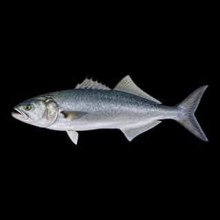
Target species: Bluefish
Best months: Jun, Jul, Sep for Bluefish
Boat: 1 ramp or launch on file for this water.
Start here: Launch at Seawanhaka Corinthian Yacht Club.
The bay
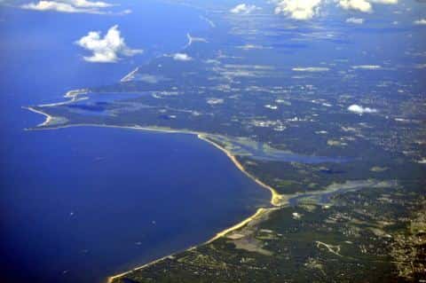
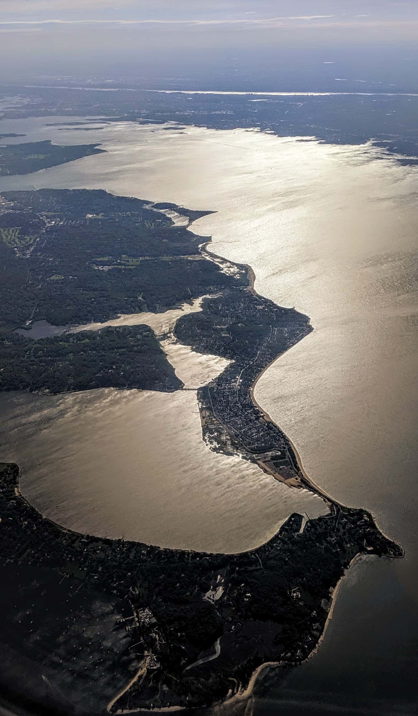
Oyster Bay covers 7,763 acres in New York, across 2 counties: Nassau and Suffolk. It is a bay: the deepest point measured is 81.4 feet (24.8 m). Our records hold 3 species for this water.
Depth: down to 81.4 ft at the deepest measured point
Deepest measured point: 81.4 ft (24.8 m). We hold 18 depth contours for this water, drawn from 10,081 soundings.
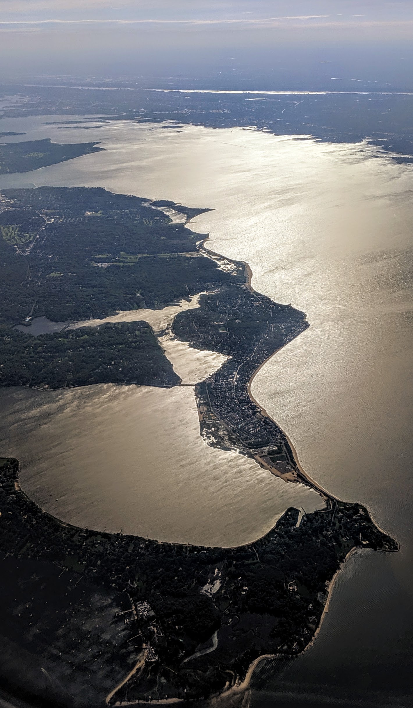
The target fish: Bluefish
- Bluefish — Best months: Jun, Jul, Sep.
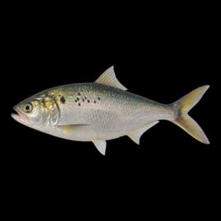
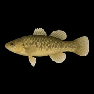
Also recorded here: Atlantic Menhaden, Mummichog.
Water and conditions
Our water temperature readings average 69°F; they do not cover the whole year, so this is not a yearly average. The coldest single reading we hold is 33°F and the warmest is 82°F; the warmest monthly average is 76°F. These readings span 2018–2026.
1 ramp or launch on this water
On this water we hold 1 boat ramp.
- Seawanhaka Corinthian Yacht Club website seawanhaka.org
The place listed has no fee or opening hours on file: a blank means we hold no such field, not that it is free or always open, and this list may not be complete.
What is hard here
Wind is the limit, not the fish: 7,763 acres of open water build a short steep chop, and there is no shelter in the middle. Only 1 public ramp is on file, so the launch decides where you fish. Winter water drops to 34°F, and the warm-water species stop feeding well before you do.
Where this data comes from
- NOAA NOS Hydro — NOAA NOS hydrographic survey archive: class A, a survey of the bottom.
- NOAA ENC — NOAA Electronic Navigational Charts: soundings: class A, a survey of the bottom.
- NOAA BlueTopo: class A, a survey of the bottom.
- NOAA National Bathymetric Source (S-102 ed3.0.0) — NOAA S-102 bathymetric surfaces: contours: class A, a survey of the bottom.
- NOAA ENC — NOAA Electronic Navigational Charts: depth contours: class A, a survey of the bottom.