Lake Alan Henry fishing: Largemouth Bass, Smallmouth Bass, Blue Catfish
Target species: Largemouth Bass, Smallmouth Bass, Blue Catfish, White Crappie, Bluegill, Channel Catfish, Flathead Catfish
The lake
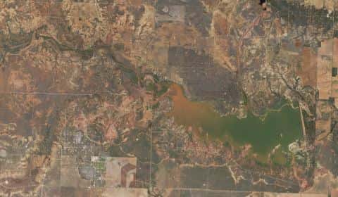
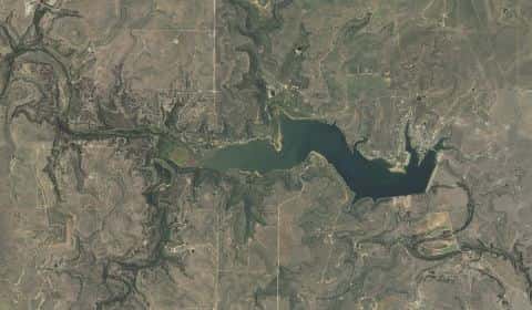
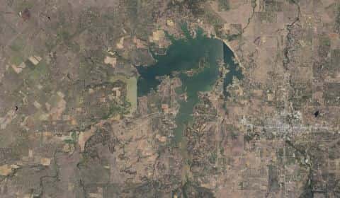
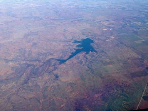
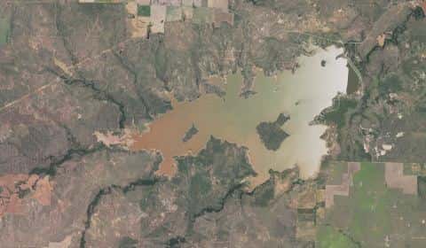
Lake Alan Henry covers 2,663 acres in Texas, across 2 counties: Garza and Kent. It is a lake: 91.1% of it is 65 feet deep or less; the deepest point measured is 71.6 feet (21.8 m). Our records hold 9 species for this water.
Depth: down to 71.6 ft at the deepest measured point
Deepest measured point: 71.6 ft (21.8 m). 91.1% of the water is 65 feet or shallower. We hold 250 depth contours for this water, drawn from 181,834 soundings.
- 0–5 ft: 12.6% of the water
- 5–10 ft: 8.7% of the water
- 10–15 ft: 9.5% of the water
- 15–20 ft: 10.4% of the water
- 20–25 ft: 8.7% of the water
- 25–30 ft: 6.6% of the water
- 30–35 ft: 6.4% of the water
- 35–40 ft: 5.9% of the water
- 40–45 ft: 5.3% of the water
- 45–50 ft: 4.4% of the water
- 50–55 ft: 4.4% of the water
- 55–60 ft: 4.4% of the water
- 60–65 ft: 3.8% of the water
- 65–70 ft: 9.1% of the water
7 target fish, led by Largemouth Bass
- Largemouth Bass — Feeding water: 65–85°F.
- Smallmouth Bass — Feeding water: 60–75°F.
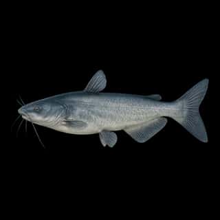
- Blue Catfish — Feeding water: 70–85°F.
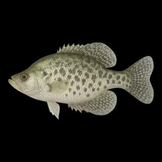
- White Crappie — Feeding water: 65–75°F.
- Bluegill — Feeding water: 70–85°F.
- Channel Catfish — Feeding water: 70–85°F.
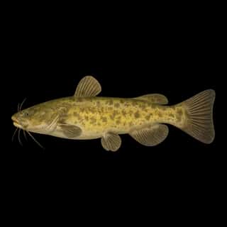
- Flathead Catfish — Feeding water: 70–85°F.
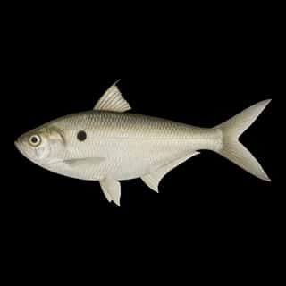
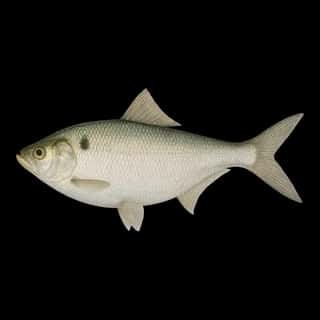
Also recorded here: Gizzard Shad, Threadfin Shad.
Stocking: 2,161,806 fish, 1993–2026
Texas Parks and Wildlife Department records list 2,161,806 fish released into this water from 1993 to 2026.
- Blue Catfish: 286,568 in 1993–1994
- Channel Catfish: 175,964 in 1993–1994
- Smallmouth Bass: 147,671 in 1993–1994
- Threadfin Shad: 72,352 in 2019–2022
- White Crappie: 67,042 in 1993
- Gizzard Shad: 80 in 1993
4 more species on the stocking list.
Water and conditions
pH averages 8.2. These readings span 2016–2026.
Where this data comes from
- Texas Water Development Board — Texas Water Development Board: depth contours: class A, a survey of the bottom, 2017.