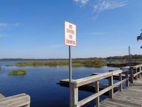
Winyah Bay fishing: Spotted Seatrout, Atlantic Croaker, Black Drum
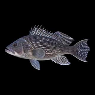
Target species: Spotted Seatrout, Atlantic Croaker, Black Drum, Sheepshead, Black Sea Bass
Best months: May, Jun, Sep, Oct for Spotted Seatrout
Second window: Apr, Oct for Atlantic Croaker
The bay
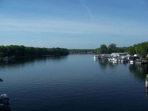
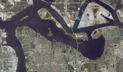
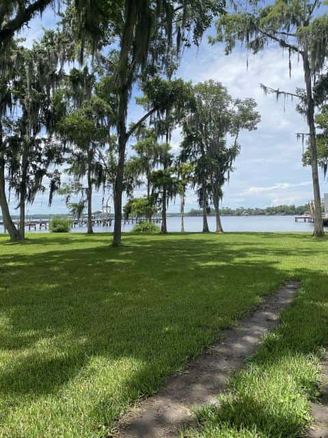
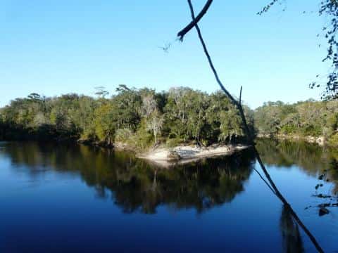
Winyah Bay covers 14,278 acres in South Carolina, across Georgetown County. It is a bay: the deepest point measured is 48 feet (14.6 m). Our records hold 6 species for this water.
5 target fish, led by Spotted Seatrout
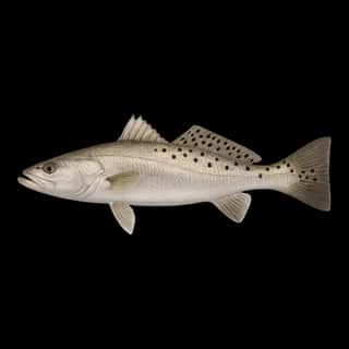
- Spotted Seatrout — Best months: May, Jun, Sep, Oct.
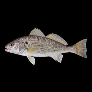
- Atlantic Croaker — Best months: Apr, Oct.
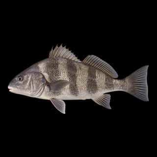
- Black Drum — Best months: May, Sep, Oct.
- Sheepshead — Best months: May, Sep, Oct.
- Black Sea Bass — Best months: Oct, Nov, Apr.
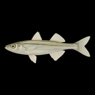
Also recorded here: Inland Silverside.
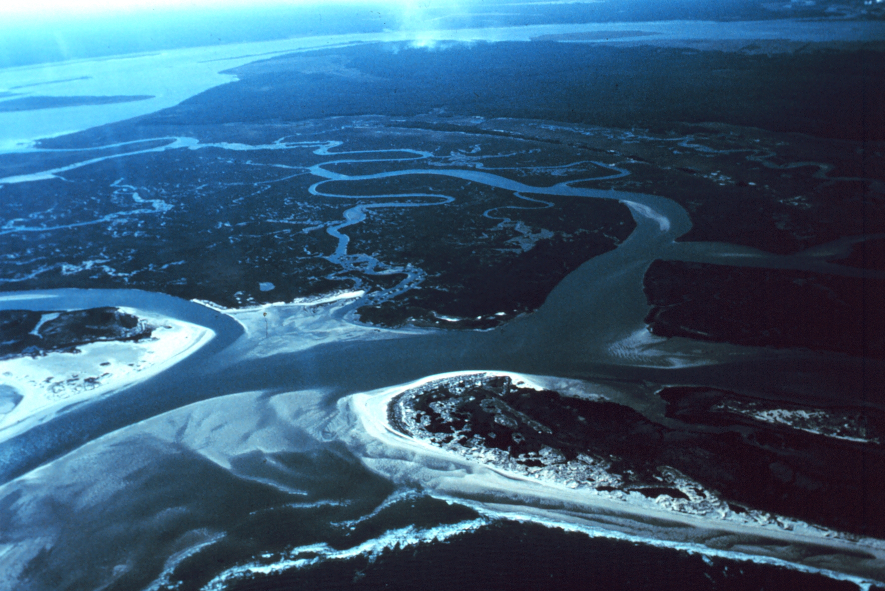
Depth: down to 48 ft at the deepest measured point
Deepest measured point: 48 ft (14.6 m). We hold 42 depth contours for this water, drawn from 16,459 soundings.
Water and conditions
Water temperature averages 72°F across the year. The coldest single reading we hold is 45°F and the warmest is 92°F; the warmest monthly average is 85°F. pH averages 7.4. These readings span 2016–2026.
Monthly average water temperature: Jan 52°F · Feb 56°F · Mar 57°F · Apr 68°F · May 76°F · Jun 82°F · Jul 85°F · Aug 83°F · Sep 80°F · Oct 74°F · Nov 62°F · Dec 55°F
Ramps and access
On this water we hold 1 fishing pier.
Fishing piers
- Winyah Bay Fishing and Observation Pier — on Great Pee Dee River.
The place listed has no fee or opening hours on file: a blank means we hold no such field, not that it is free or always open, and this list may not be complete.
Season by season
- Winter (Dec, Jan, Feb, Mar, 52–57°F) — Steady but no peak: Atlantic Croaker, Black Sea Bass.
- Spring (Apr, May, 68–76°F) — Biting: Spotted Seatrout, Atlantic Croaker, Black Drum, Sheepshead, Black Sea Bass.
- Summer (Jun, Jul, Aug, Sep, 80–85°F) — Biting: Spotted Seatrout, Black Drum, Sheepshead.
- Fall (Oct, Nov, 62–74°F) — Biting: Spotted Seatrout, Atlantic Croaker, Black Drum, Sheepshead, Black Sea Bass.
What is hard here
Wind is the limit, not the fish: 14,278 acres of open water build a short steep chop, and there is no shelter in the middle. Winter water drops to 52°F, and the warm-water species stop feeding well before you do. Summer water sits at 85°F: heat and afternoon lightning are the real risks, not the fishing.
Where this data comes from
- NOAA NOS Hydro — NOAA NOS hydrographic survey archive: class A, a survey of the bottom.
- NOAA Digital Coast — NOAA Digital Coast bathymetric lidar: class A, a survey of the bottom.
- NOAA BlueTopo: class A, a survey of the bottom.
- NOAA National Bathymetric Source (S-102 ed3.0.0) — NOAA S-102 bathymetric surfaces: contours: class A, a survey of the bottom.
- NOAA ENC — NOAA Electronic Navigational Charts: soundings: class A, a survey of the bottom.
- NOAA ENC — NOAA Electronic Navigational Charts: depth contours: class A, a survey of the bottom.