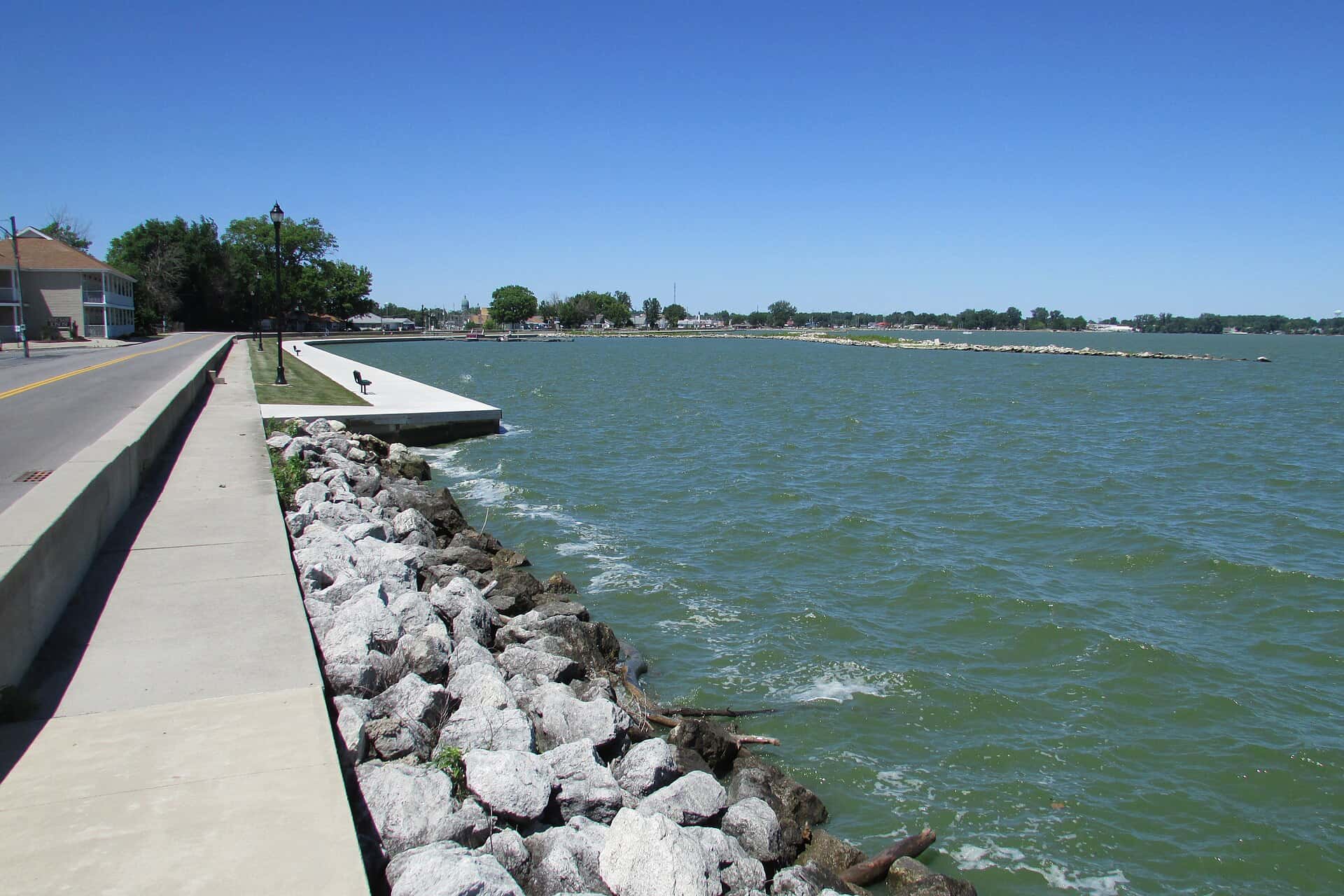
Grand Lake fishing: Striped Bass, Northern Pike, Largemouth Bass
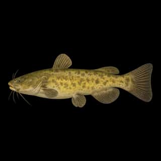
Target species: Striped Bass, Northern Pike, Largemouth Bass, Rainbow Trout, Walleye, Channel Catfish, Flathead Catfish
Boat: 10 ramps and launches on file for this water.
Start here: Launch at Grand Lake St. Marys State Park - Boat Club Ramp.
The reservoir
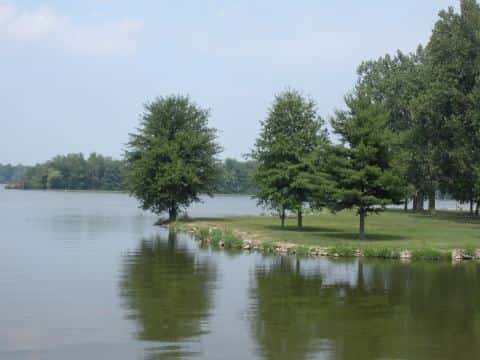
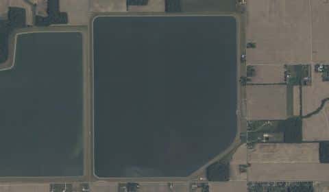
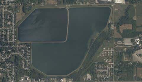
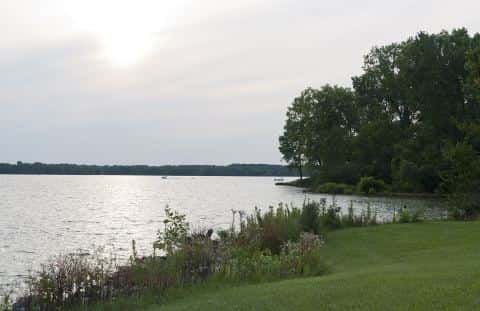
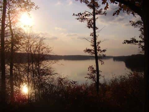
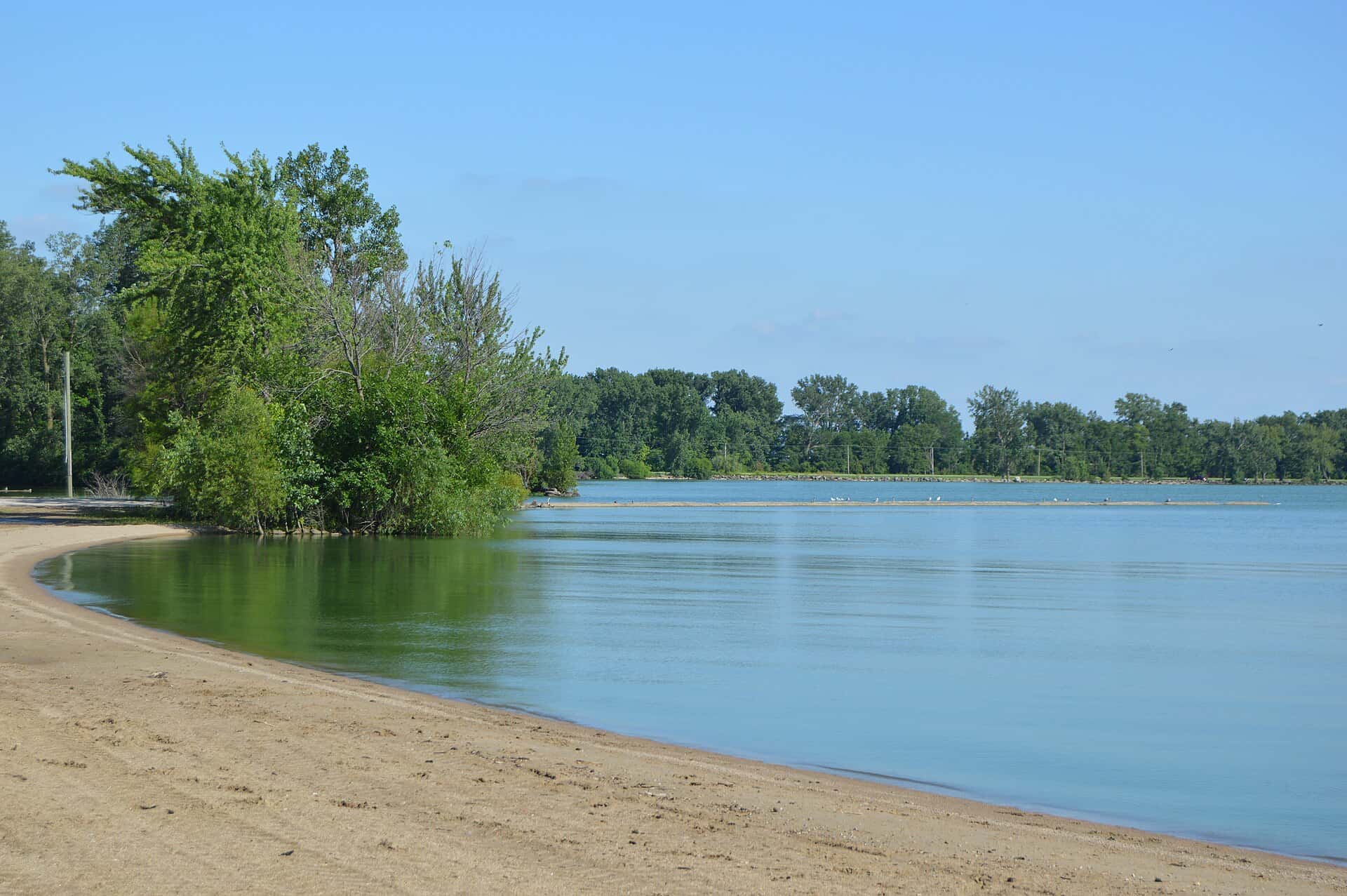
Grand Lake covers 12,950 acres in Ohio, across 2 counties: Mercer and Auglaize. It is a reservoir: 97.9% of it is 7 feet deep or less; the deepest point measured is 14 feet (4.3 m). Our records hold 11 species for this water.
7 target fish, led by Striped Bass
- Striped Bass — Feeding water: 60–75°F.
- Northern Pike — Feeding water: 50–75°F.
- Largemouth Bass — Feeding water: 65–85°F.
- Rainbow Trout — Feeding water: 50–65°F.
- Walleye — Feeding water: 50–75°F.
- Channel Catfish — Feeding water: 70–85°F.
- Flathead Catfish — Feeding water: 70–85°F.
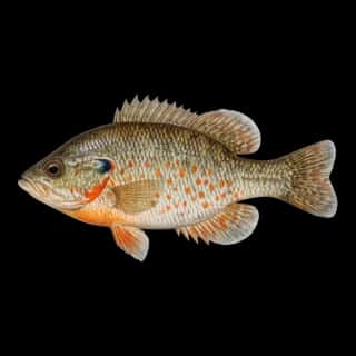
Also recorded here: White Bass, Yellow Perch, Orangespotted Sunfish, Common Carp.
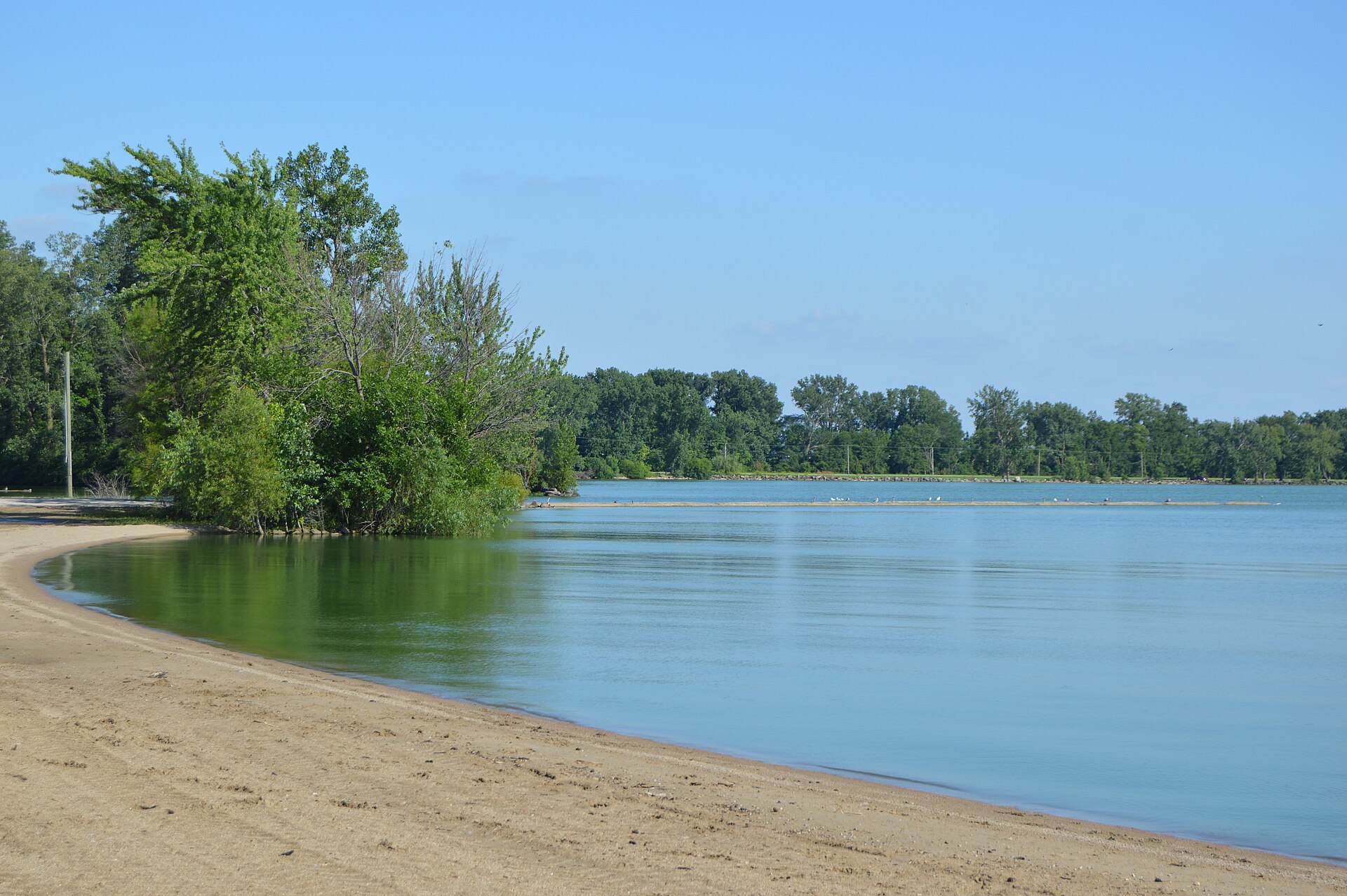
Depth: down to 14 ft at the deepest measured point
Deepest measured point: 14 ft (4.3 m). 97.9% of the water is 7 feet or shallower. We hold 183 depth contours for this water, drawn from 45,784 soundings.
- 0–1 ft: 5.2% of the water
- 1–3 ft: 7.3% of the water
- 3–4 ft: 7.2% of the water
- 4–5 ft: 18.8% of the water
- 5–6 ft: 40.2% of the water
- 6–7 ft: 19.2% of the water
- 7–9 ft: 2% of the water
- 9–10 ft: 0.1% of the water
10 ramps and launches on this water
On this water we hold 10 boat ramps.
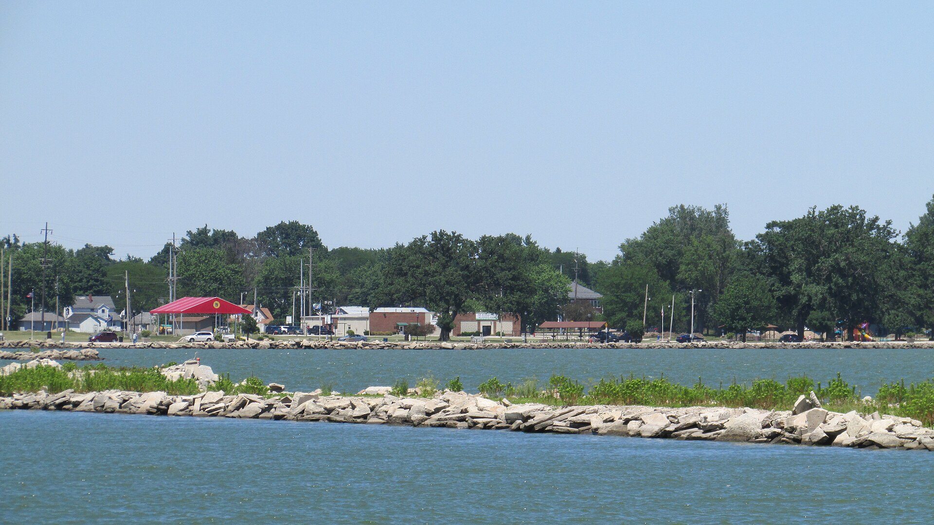
- Grand Lake St. Marys State Park - Boat Club Ramp — St. Marys, ODNR Division of Parks & Recreation. off State Route 703, St. Marys 45885- · phone (419) 394-3611 · website parks.ohiodnr.gov
- Grand Lake St. Marys State Park - Campground Ramp — St. Marys, ODNR Division of Parks & Recreation. off State Route 703, St. Marys 45885- · phone (419) 394-3611 · website parks.ohiodnr.gov
- Grand Lake St. Marys State Park - Fries Channel Ramp — St. Marys, ODNR Division of Parks & Recreation. off State Route 703, St. Marys 45885- · phone (419) 394-3611 · website parks.ohiodnr.gov
- Grand Lake St. Marys State Park - Its It Ramp — St. Marys, ODNR Division of Parks & Recreation. Its It Road off State Route 127, St. Marys 45885- · phone (419) 394-3611 · website parks.ohiodnr.gov
- Grand Lake St. Marys State Park - Marina Ramp — St. Marys, ODNR Division of Parks & Recreation. 215 Gordon Park Drive, St. Marys 45885- · phone (419) 394-3611 · website parks.ohiodnr.gov
- Grand Lake St. Marys State Park - Mercelina Park — Celina, City of Celina. Lake Shore Drive off State Route 29, Celina 45822- · phone (419) 586-6464 · website ci.celina.oh.us
- Grand Lake St. Marys State Park - West Bank Ramp — St. Marys, ODNR Division of Parks & Recreation. West Bank Road off Rt. 127, St. Marys 45885- · phone (419) 394-3611 · website parks.ohiodnr.gov
- Grand Lake St. Marys State Park - Windy Point — St. Marys, ODNR Division of Parks & Recreation. Windy Point Road off County Rd 219A, St. Marys 45885- · phone (419) 394-3611 · website parks.ohiodnr.gov
- Lake Shore Drive Courtesy Docks — Celina, City of Celina. Lake Shore Drive, Celina 45822- · phone (419) 586-6464 · website ci.celina.oh.us
- Village of Montezuma Ramp Facility — Montezuma, Village of Montezuma. Wyatt St./ Channel Dr., Montezuma 45866- · phone (419) 268-5004 · website grandlake.net/franklintownship/montezuma
Fee and opening hours are blank for all 10 places in this list: a blank means we hold no such field, not that it is free or always open, and this list may not be complete.
Water and conditions
Our water temperature readings average 74°F; they do not cover the whole year, so this is not a yearly average. The coldest single reading we hold is 51°F and the warmest is 84°F; the warmest monthly average is 79°F. pH averages 8.8. These readings span 2017–2024.
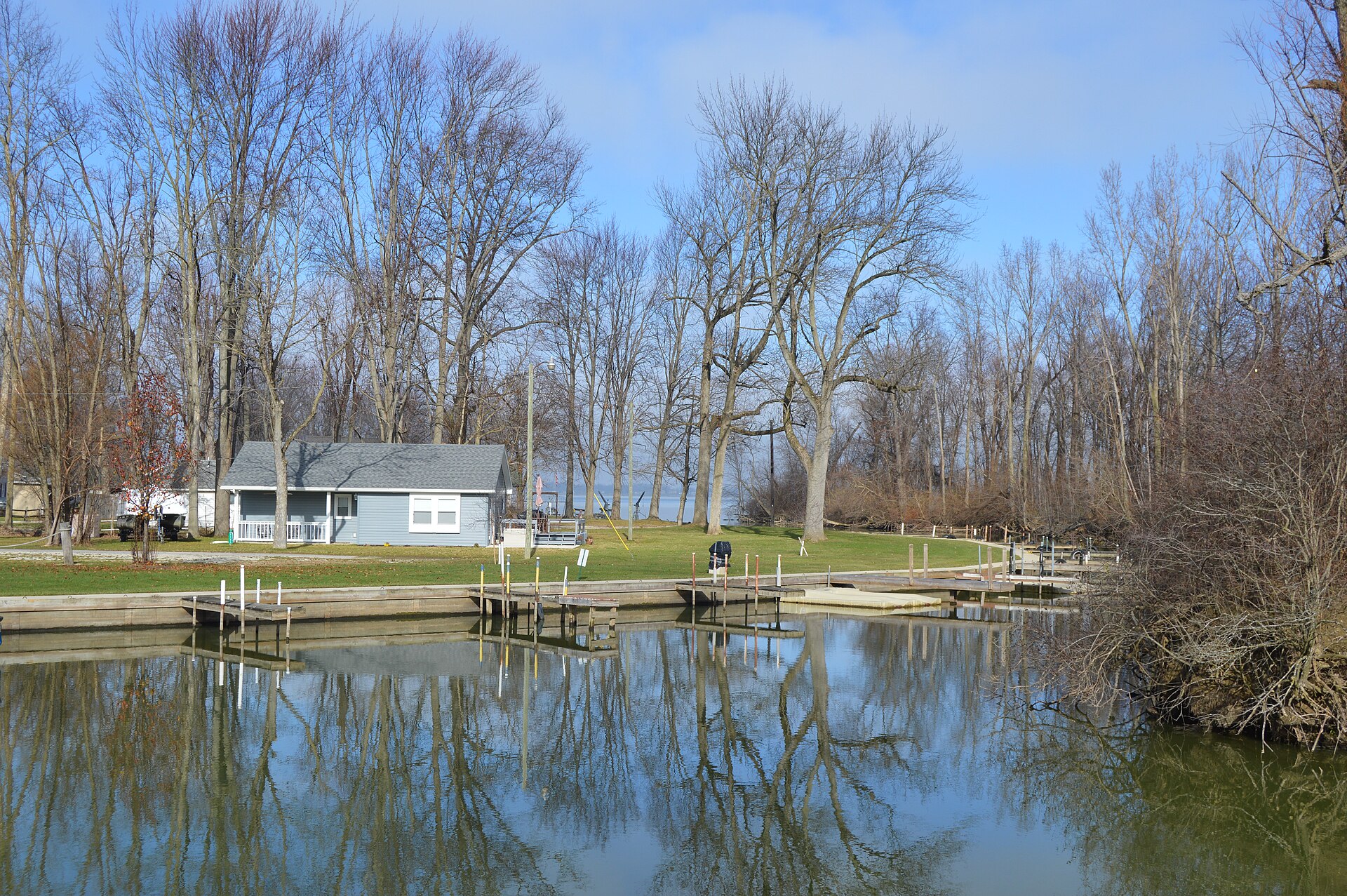
Stocking: 104,960,764 fish, 1981–2020
Ohio DNR Division of Wildlife records list 104,960,764 fish released into this water from 1981 to 2020. The latest stocking on record is from 2020, more than three years ago.
- Walleye: 56,460,769 in 1999–2012
- Yellow Perch: 47,273,285 in 2012–2020
- Northern Pike: 449,454 in 1970–1991
- Striped Bass: 274,363 in 1972–1981
- Largemouth Bass: 236,655 in 1970–2013
- Channel Catfish: 32,302 in 2000–2017
- Flathead Catfish: 10,000 in 1973
- Rainbow Trout: 4,812 in 2002–2010
One more species on the stocking list.
What is hard here
Wind is the limit, not the fish: 12,950 acres of open water build a short steep chop, and there is no shelter in the middle. With 97.9% of the water 7 feet or less, low level turns the flats into hazards.
Where this data comes from
- Ohio DNR — Ohio DNR: depth contours: class A, a survey of the bottom.
- EPA NLA — EPA National Lakes Assessment: class B, a depth figure measured and published by an agency, without a bottom map, 2007.
- Webster, K.E., McCullough, I.M., Soranno, P.A. LAGOS-US DEPTH v1.0, EDI, doi:10.6073/pasta/64ddc4d04661d9aef4bd702dc5d8984f (CC BY 4.0); Cheruvelil et al. LAGOS-US LOCUS v1.0 (EDI) — LAGOS-US DEPTH v1.0: Lake depth for 17,675 lakes in the conterminous U.S.: class B, a depth figure measured and published by an agency, without a bottom map.