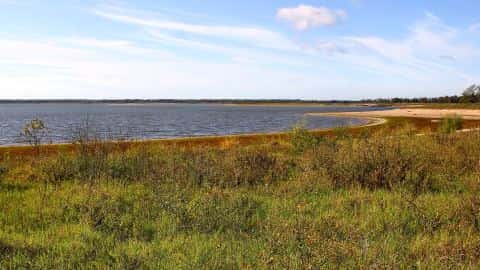
Sabine Lake fishing: Striped Bass, Blue Catfish, Alligator Gar
Target species: Striped Bass, Blue Catfish, Alligator Gar, Spotted Gar, Redbreast
Boat: 2 ramps and launches on file for this water.
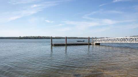
Start here: Launch at Sabine Lake on Texas/Louisiana line, 1 lane.
The lake
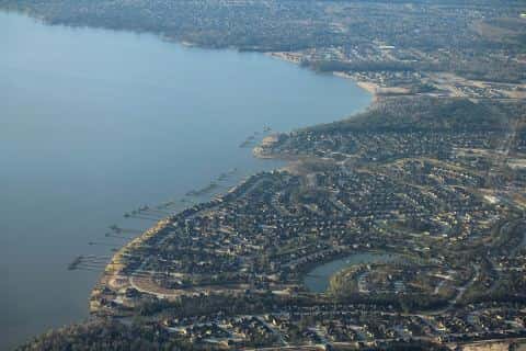
Sabine Lake covers 57,214 acres in Louisiana, across Cameron County. It is a lake: the deepest point measured is 51.7 feet (15.8 m). Our records hold 10 species for this water. 43% of the water lies in Texas.
5 target fish, led by Striped Bass
- Striped Bass — Feeding water: 60–75°F.
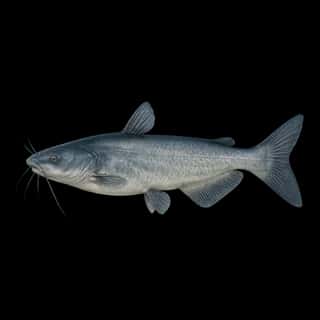
- Blue Catfish — Feeding water: 70–85°F.
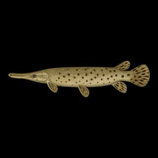
- Alligator Gar — Feeding water: 70–85°F.
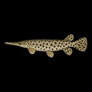
- Spotted Gar — Feeding water: 70–85°F.
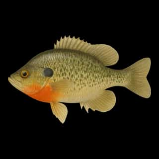
- Redbreast — Feeding water: 65–80°F.
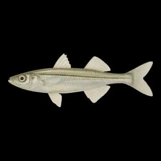
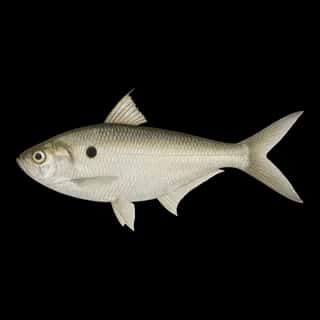
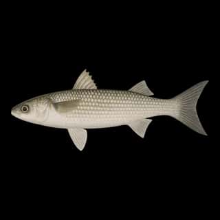
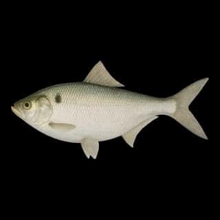
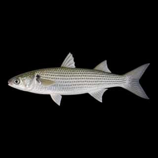
Also recorded here: Gizzard Shad, Threadfin Shad, Inland Silverside, Mullet, White Mullet.
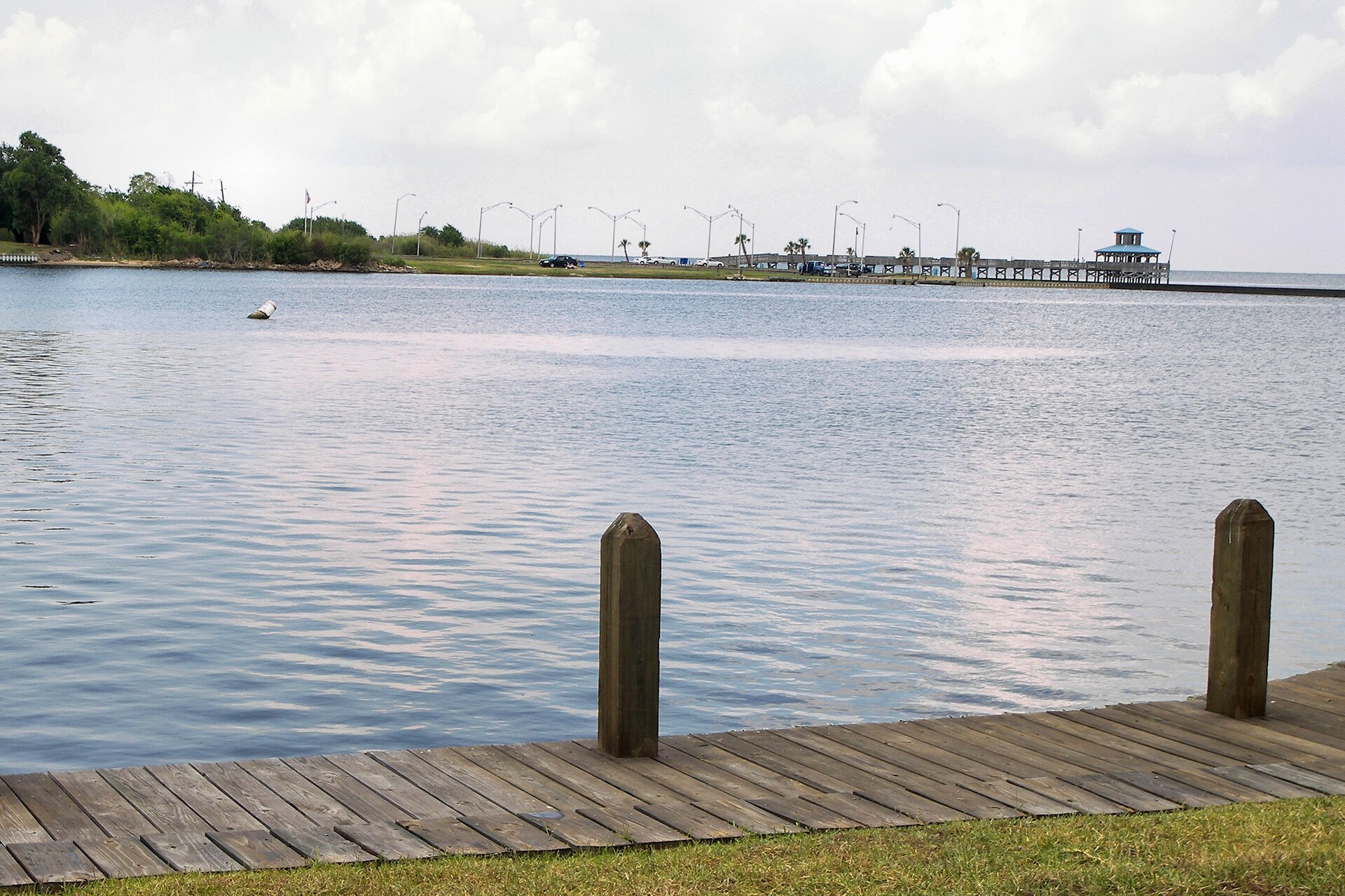
Depth: down to 51.7 ft at the deepest measured point
Deepest measured point: 51.7 ft (15.8 m). We hold 35 depth contours for this water, drawn from 4,738 soundings.
Water and conditions
Water clarity runs 1–4.3 feet on our readings, averaging 2.4 feet, from 141 readings. Our water temperature readings average 71°F; they do not cover the whole year, so this is not a yearly average. pH averages 7.6. These readings span 2016–2026.
2 ramps and launches on this water
On this water we hold 1 trailer ramp and 1 boat ramp.
- Sabine Lake on Texas/Louisiana line — 1 lane. Johnsons Bayou.
- Pleasure Island Marina website visitportarthurtx.com/things-to-do/attraction/pleasure-island-marina
Fee and opening hours are blank for all 2 places in this list: a blank means we hold no such field, not that it is free or always open, and this list may not be complete.
What is hard here
Wind is the limit, not the fish: 57,214 acres of open water build a short steep chop, and there is no shelter in the middle. Clarity swings from 1 to 4.3 feet between our readings — the water you meet is not the water someone photographed. Only 2 public ramps are on file, so the launch decides where you fish.
Where this data comes from
- USACE eHydro — USACE eHydro channel surveys: class A, a survey of the bottom.
- NOAA ENC — NOAA Electronic Navigational Charts: soundings: class A, a survey of the bottom.
- NOAA National Bathymetric Source (S-102 ed3.0.0) — NOAA S-102 bathymetric surfaces: contours: class A, a survey of the bottom.
- NOAA ENC — NOAA Electronic Navigational Charts: depth contours: class A, a survey of the bottom.