Tippecanoe Lake fishing: Largemouth Bass, White Bass, Yellow Perch
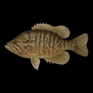
Target species: Largemouth Bass, White Bass, Yellow Perch, Redear, Warmouth
The lake
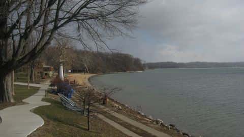
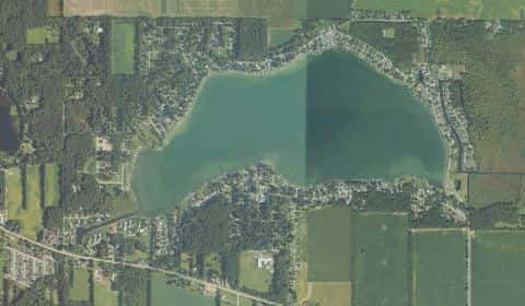
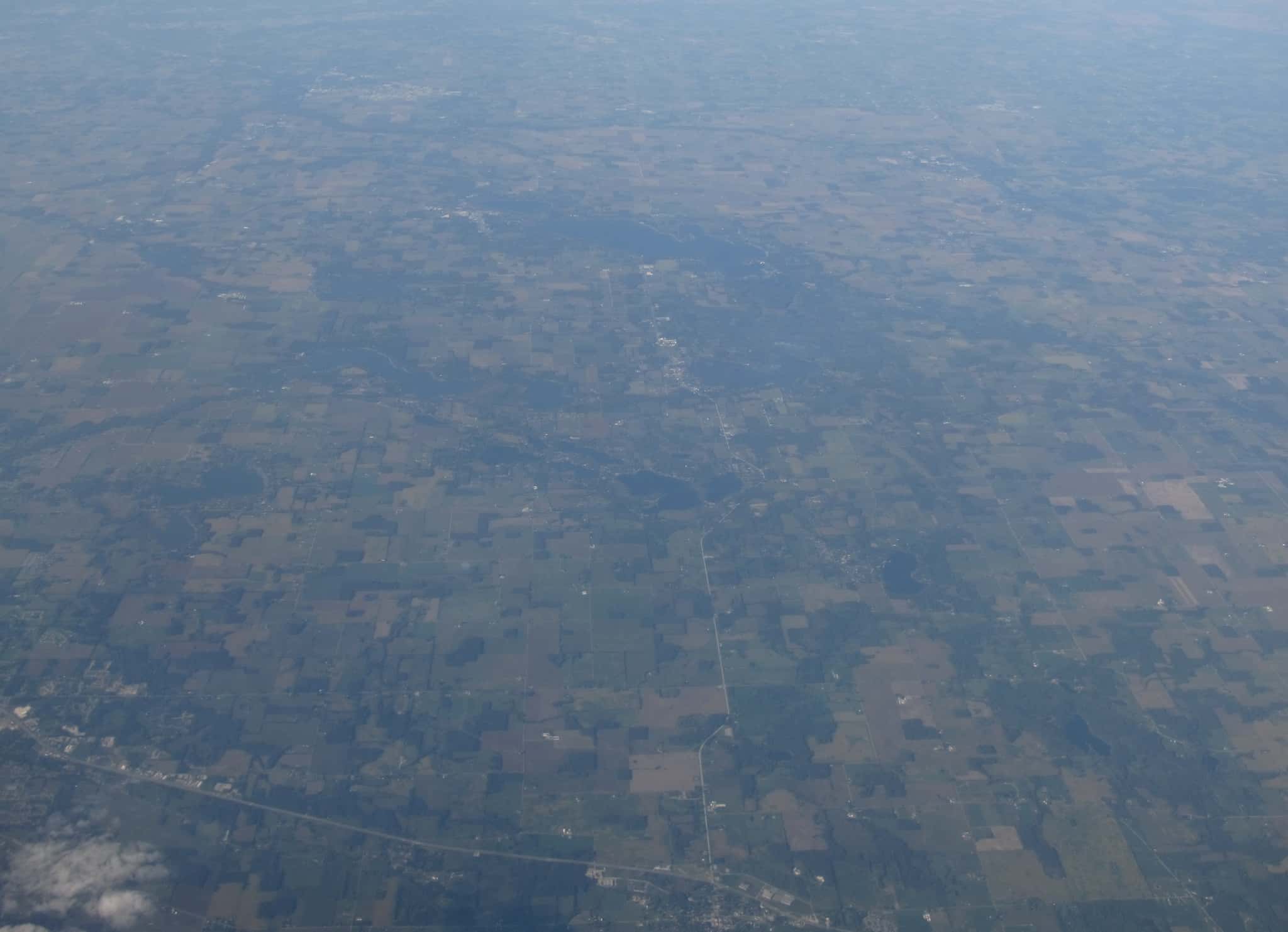
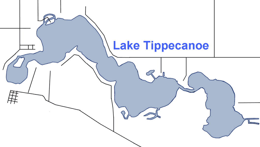
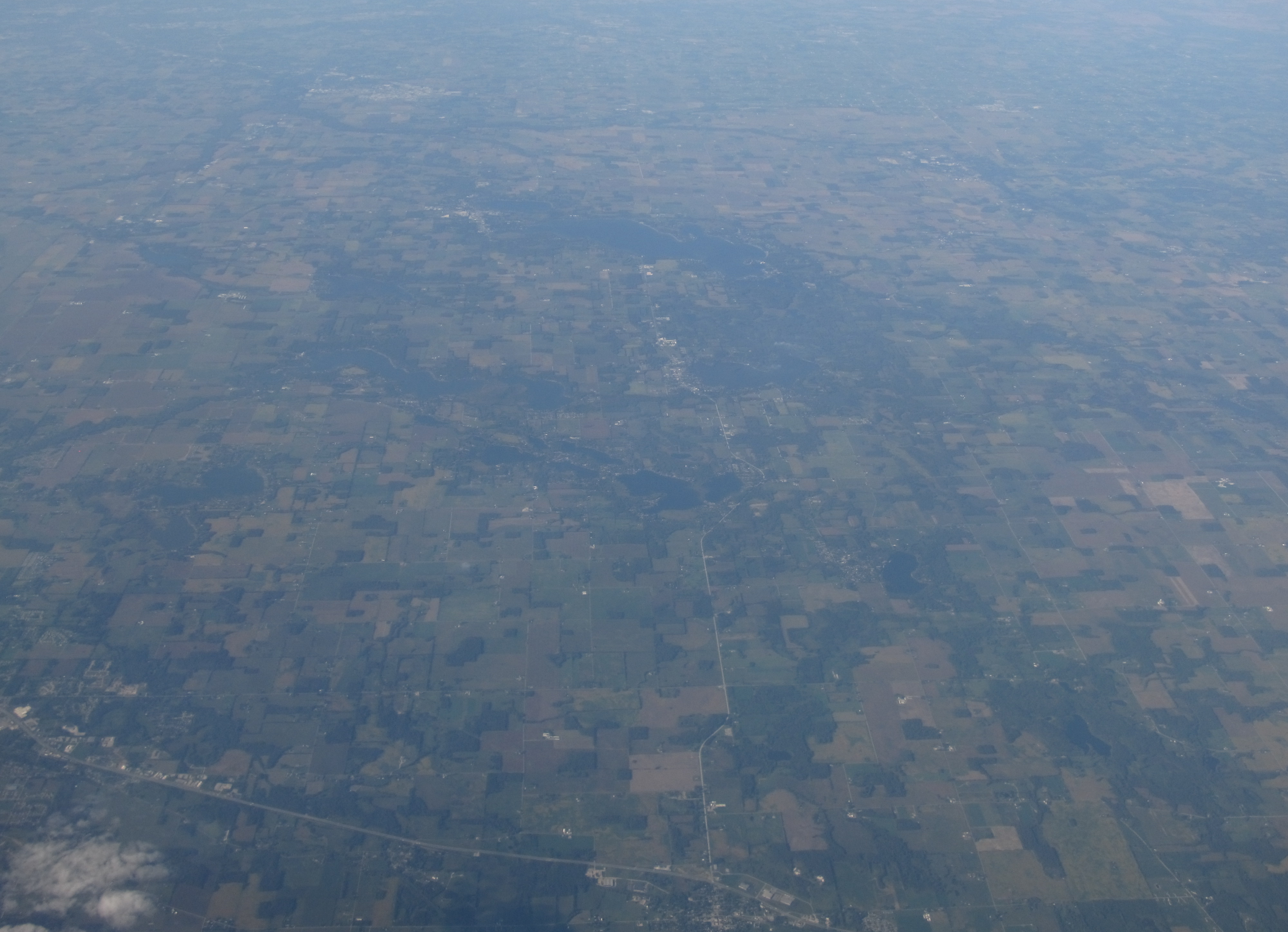
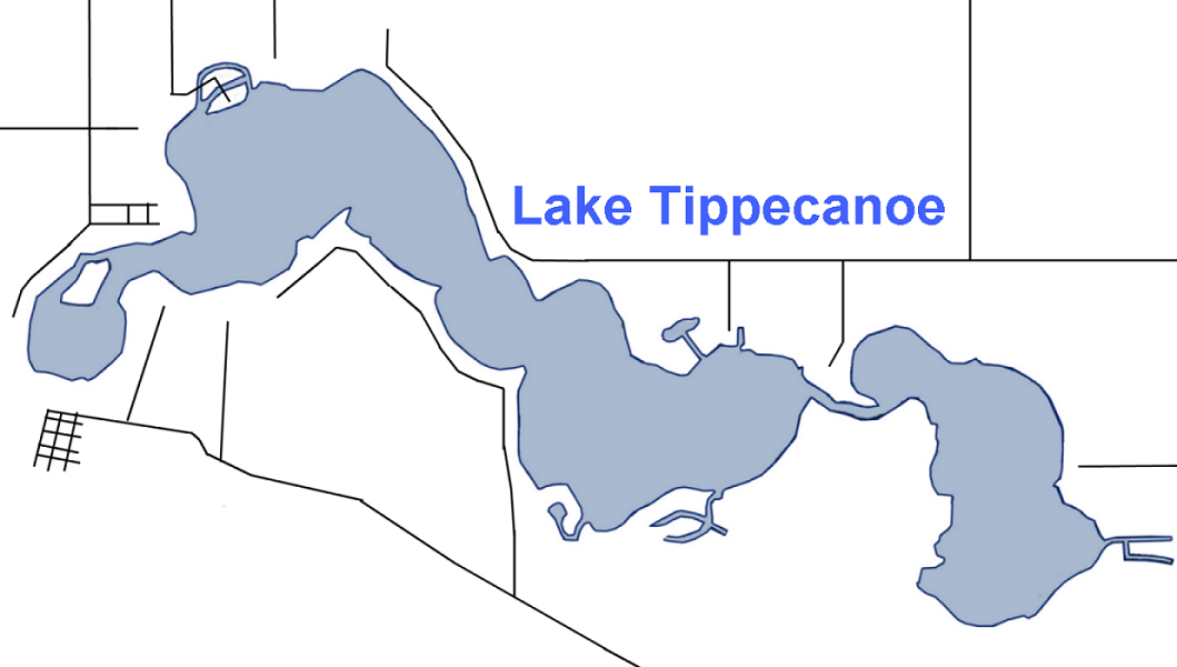
Tippecanoe Lake covers 771 acres in Indiana, across Kosciusko County. It is a lake: the deepest figure on record is 124 feet (37.7 m), as published by EPA NLA, a figure without a map of the bottom. Our records hold 9 species for this water.
5 target fish, led by Largemouth Bass
- Largemouth Bass — Feeding water: 65–85°F.
- White Bass — Feeding water: 65–75°F.
- Yellow Perch — Feeding water: 45–75°F.
- Redear — Feeding water: 65–85°F.
- Warmouth — Feeding water: 70–85°F.
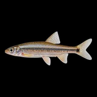
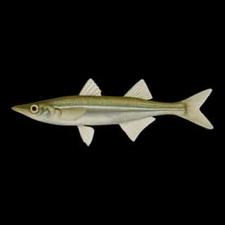
Also recorded here: Rainbow Trout, Brown Bullhead, Spottail Shiner, Brook Silverside.
Depth and bottom
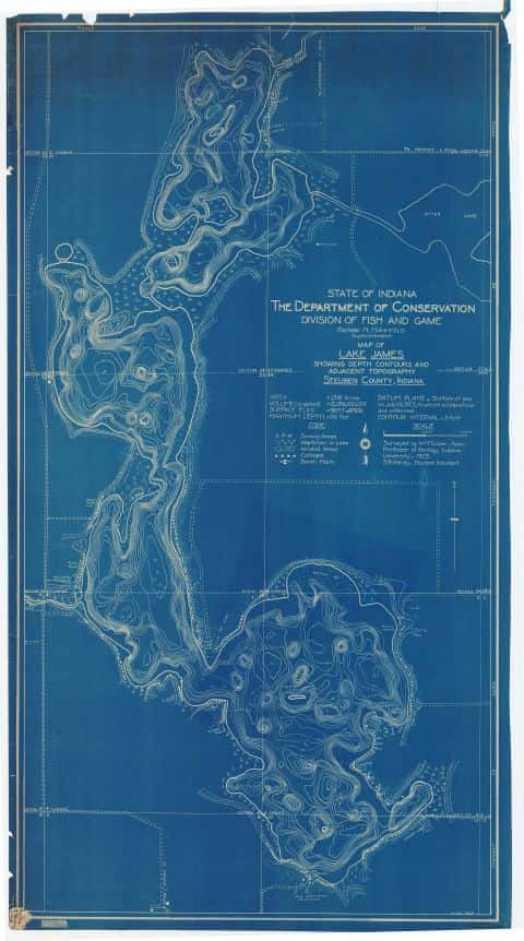
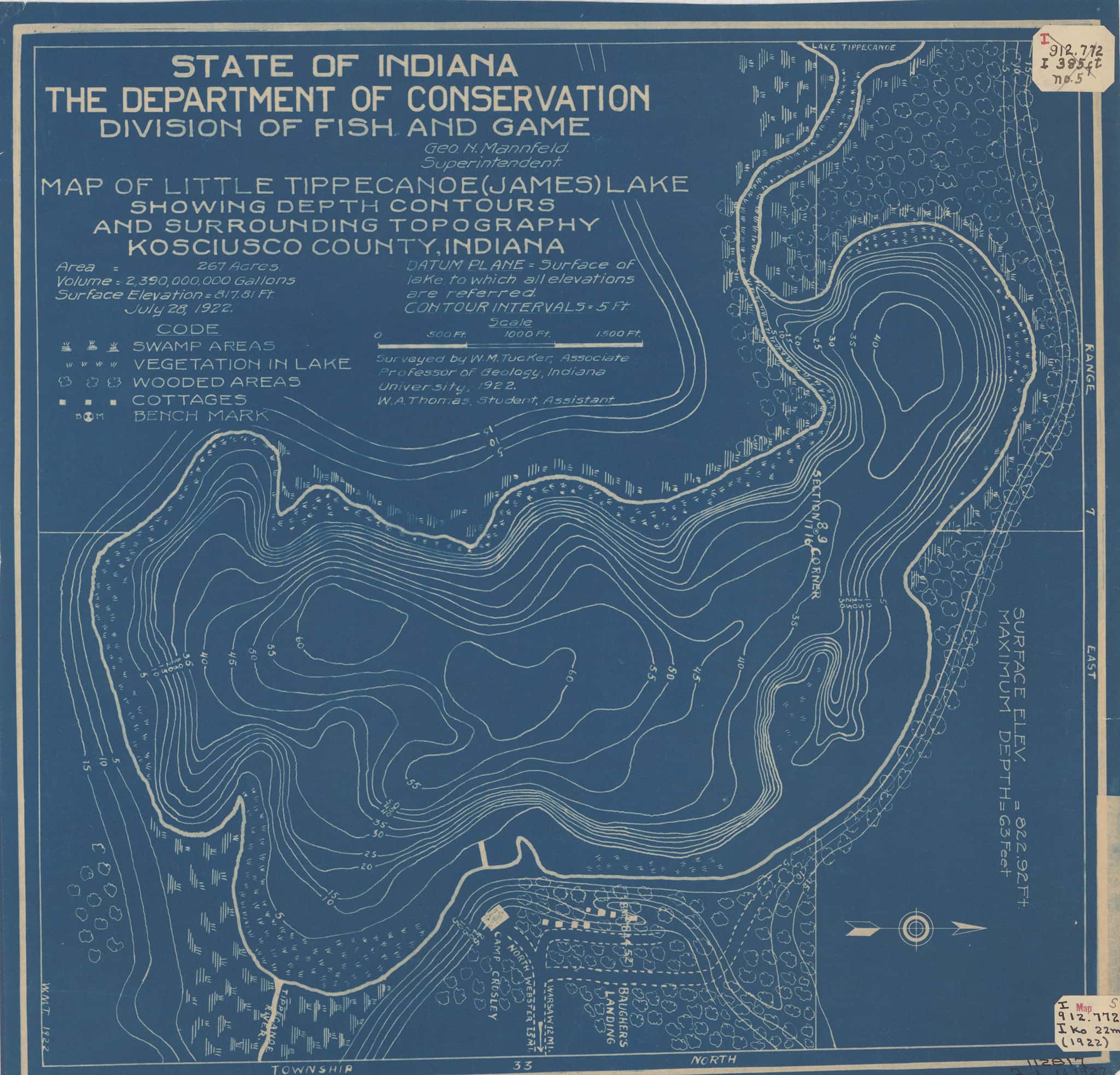
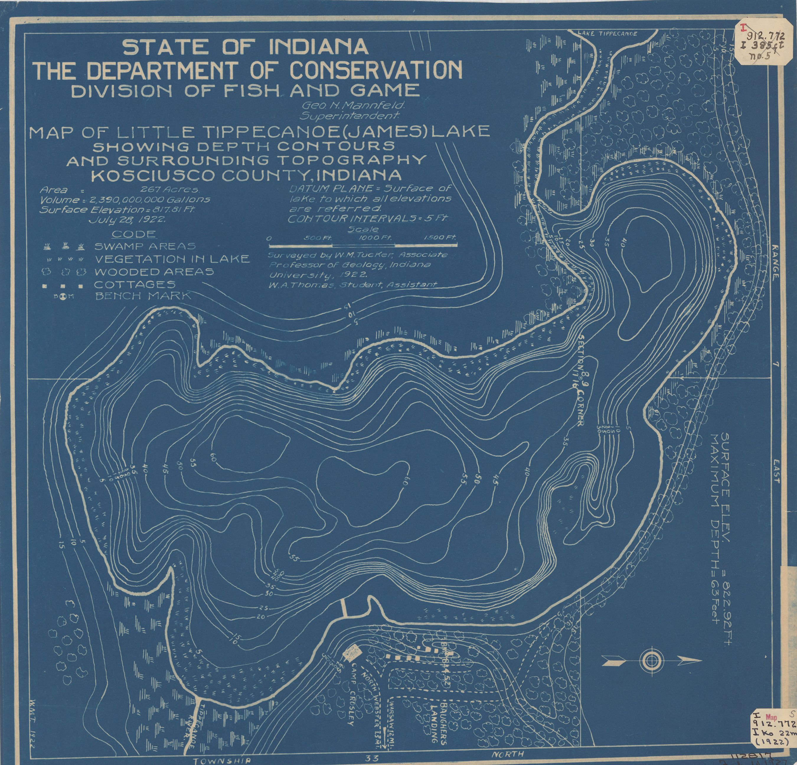
Deepest figure on record: 124 ft (37.7 m), as published by EPA NLA. We hold no survey map of this bottom, so we show no depth bands. We hold 18 depth contour lines for this water.
Water and conditions
Water clarity runs 6.1–10.6 feet on our readings, averaging 8.3 feet, from 47 readings. Our water temperature readings average 79°F; they do not cover the whole year, so this is not a yearly average. pH averages 8.3. These readings span 2017–2024.
Where this data comes from
- Indiana DNR — Indiana DNR: depth contours: class A, a survey of the bottom.
- EPA NLA — EPA National Lakes Assessment: class B, a depth figure measured and published by an agency, without a bottom map.
- Webster, K.E., McCullough, I.M., Soranno, P.A. LAGOS-US DEPTH v1.0, EDI, doi:10.6073/pasta/64ddc4d04661d9aef4bd702dc5d8984f (CC BY 4.0); Cheruvelil et al. LAGOS-US LOCUS v1.0 (EDI) — LAGOS-US DEPTH v1.0: Lake depth for 17,675 lakes in the conterminous U.S.: class B, a depth figure measured and published by an agency, without a bottom map.