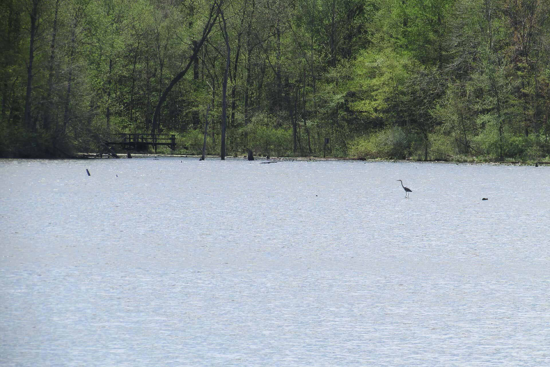
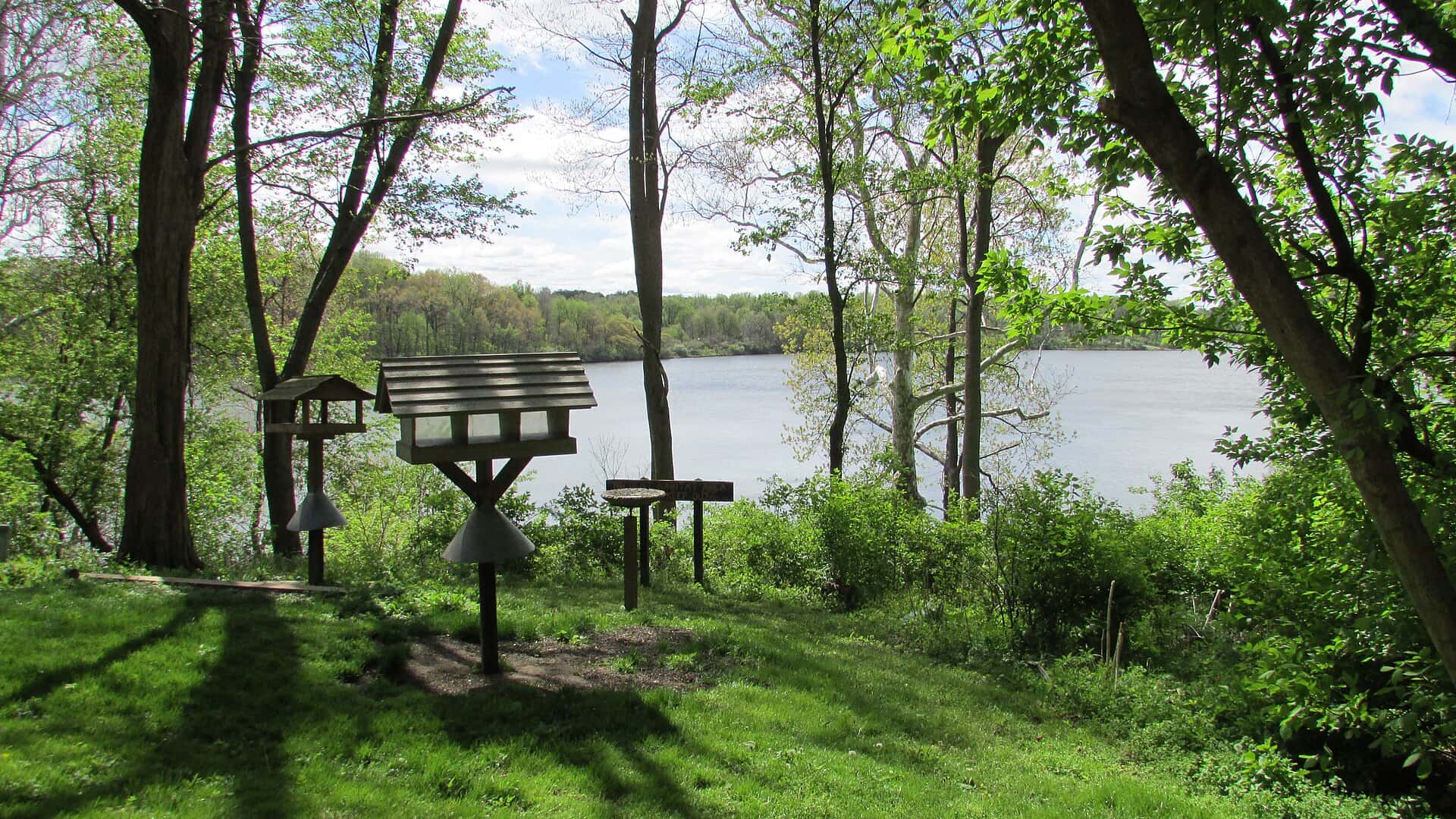
Worster Lake fishing: Largemouth Bass, Pumpkinseed
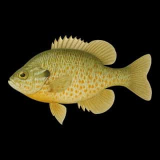
Target species: Largemouth Bass, Pumpkinseed
Boat: 2 ramps and launches on file for this water.
Start here: Launch at Worster Lake East Boat Launch.
The lake
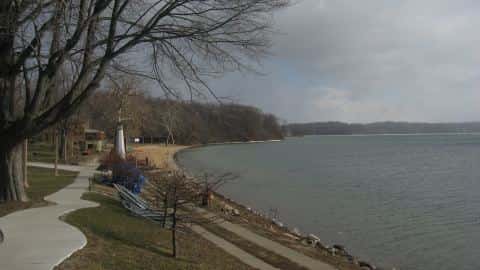
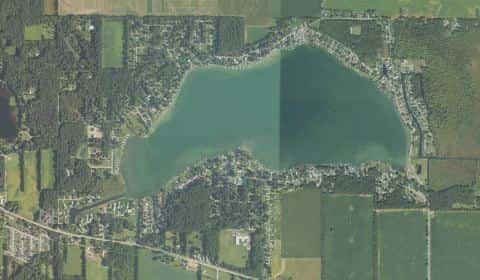
Worster Lake covers 334 acres in Indiana, across St. Joseph County. It is a lake: 93.7% of it is 15 feet deep or less; the deepest point measured is at least 18 feet (5.5 m). Our records hold 4 species for this water.
Depth and bottom
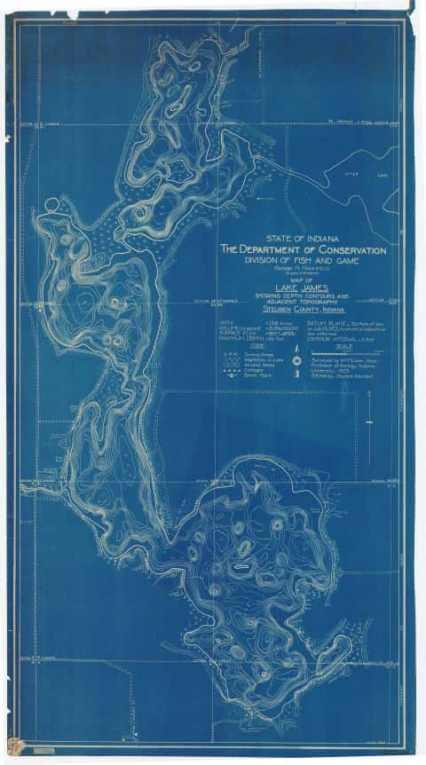
Deepest measured point: at least 18 ft (5.5 m). That is the deepest contour line: the bottom goes deeper. 93.7% of the water is 15 feet or shallower. We hold 60 depth contour lines for this water.
- 0–1 ft: 9.4% of the water
- 1–2 ft: 5% of the water
- 2–3 ft: 5.5% of the water
- 3–4 ft: 6.3% of the water
- 4–5 ft: 7% of the water
- 5–6 ft: 7.5% of the water
- 6–7 ft: 7.9% of the water
- 7–8 ft: 7.8% of the water
- 8–9 ft: 7.9% of the water
- 9–10 ft: 9.3% of the water
- 10–11 ft: 7.6% of the water
- 11–13 ft: 7.7% of the water
- 13–15 ft: 4.8% of the water
- 15–17 ft: 4.2% of the water
- 17–18 ft: 2.2% of the water
2 target fish, led by Largemouth Bass
- Largemouth Bass — Feeding water: 65–85°F.
- Pumpkinseed — Feeding water: 65–80°F.
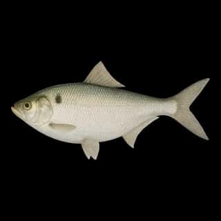
Also recorded here: Common Carp, Gizzard Shad.
Water and conditions
Our water temperature readings average 78°F; they do not cover the whole year, so this is not a yearly average. pH averages 8.6. These readings span 2017–2025.
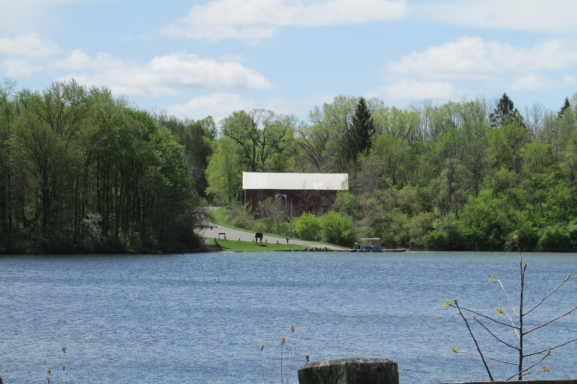
2 ramps and launches on this water
On this water we hold 2 boat ramps.
- Worster Lake East Boat Launch — lit for night fishing, restrooms. Potato Creek State Park. Four miles E of North Liberty at Potato Creek SP. Turn right at gate house and follow road to ramp. · phone (574) 656-8186
- Worster Lake West Boat Launch — lit for night fishing, restrooms. Potato Creek State Park. Four miles east of North Liberty on SR 4 at Potato Creek State Park. Turn left at gate house and right at 2nd drive. · phone (574) 656-8186
Fee and opening hours are blank for all 2 places in this list: a blank means we hold no such field, not that it is free or always open, and this list may not be complete.
What is hard here
With 93.7% of the water 15 feet or less, low level turns the flats into hazards. Only 2 public ramps are on file, so the launch decides where you fish.
Where this data comes from
- Indiana DNR — Indiana DNR: depth contours: class A, a survey of the bottom.