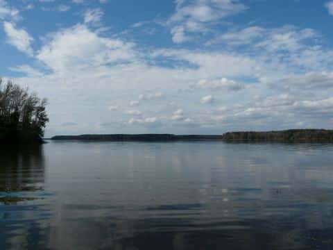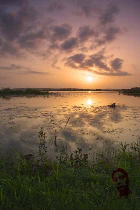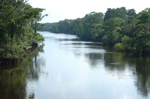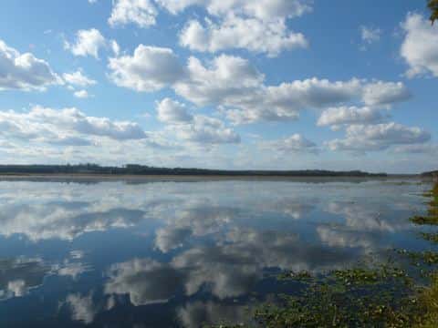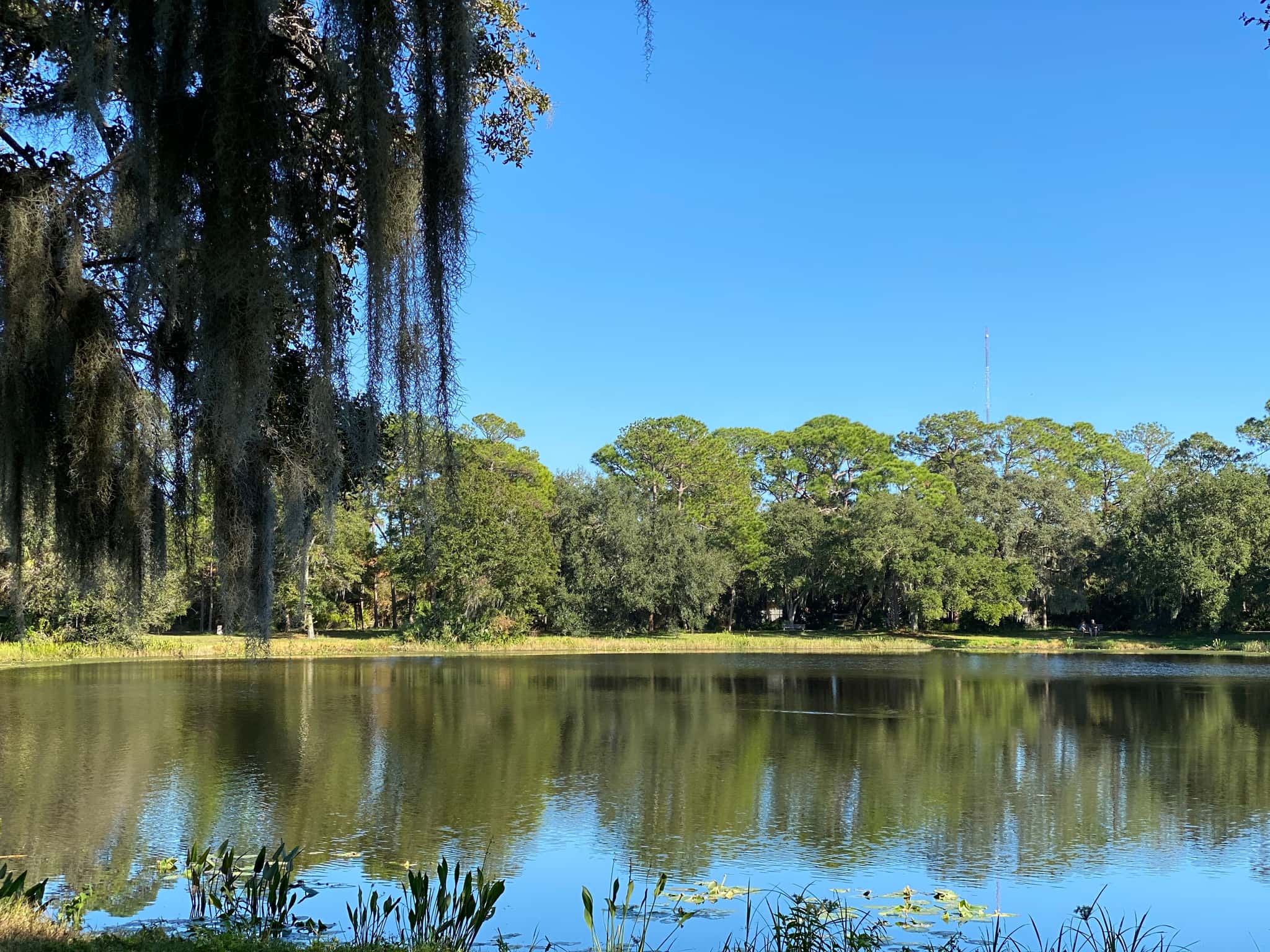
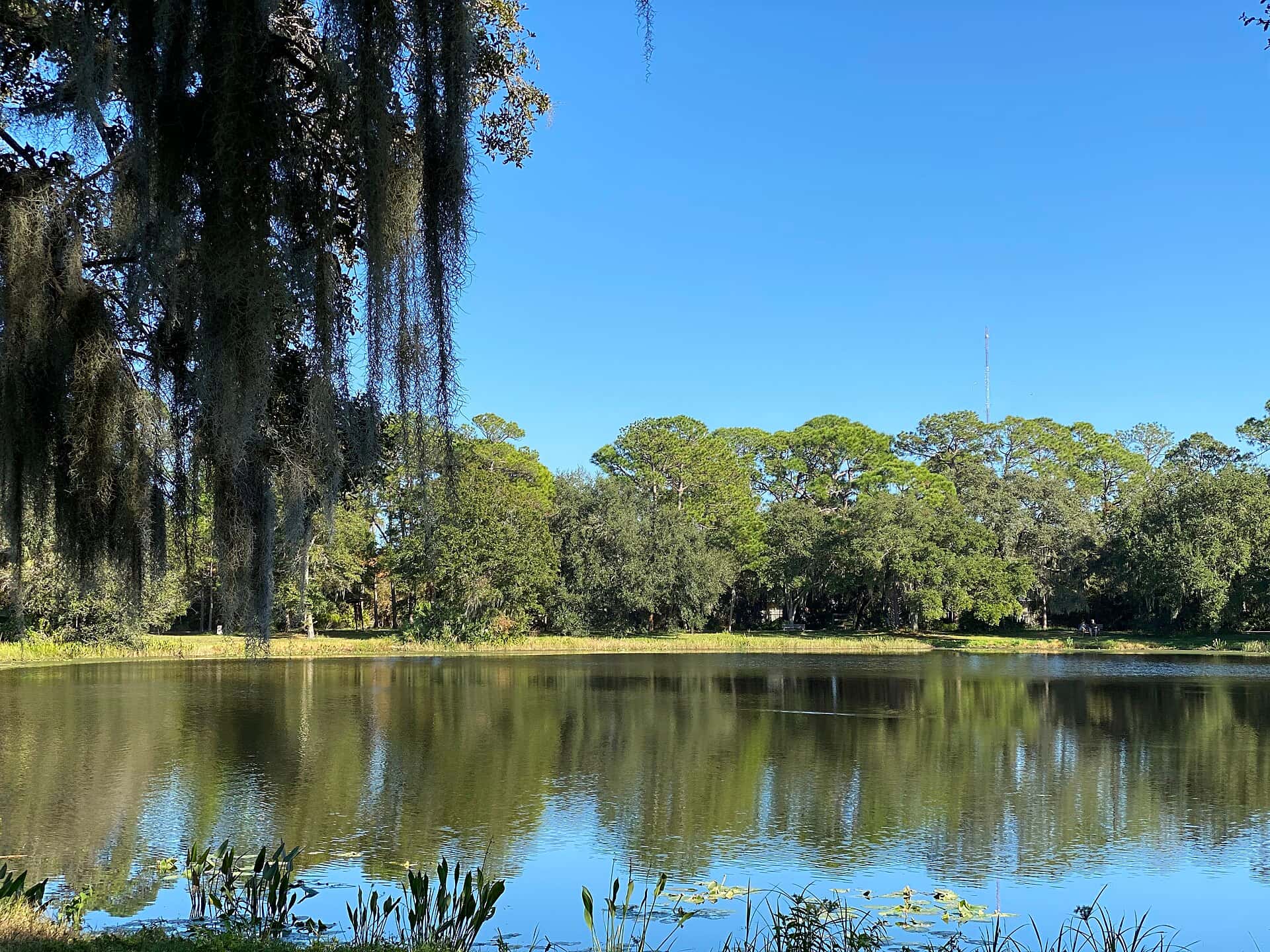
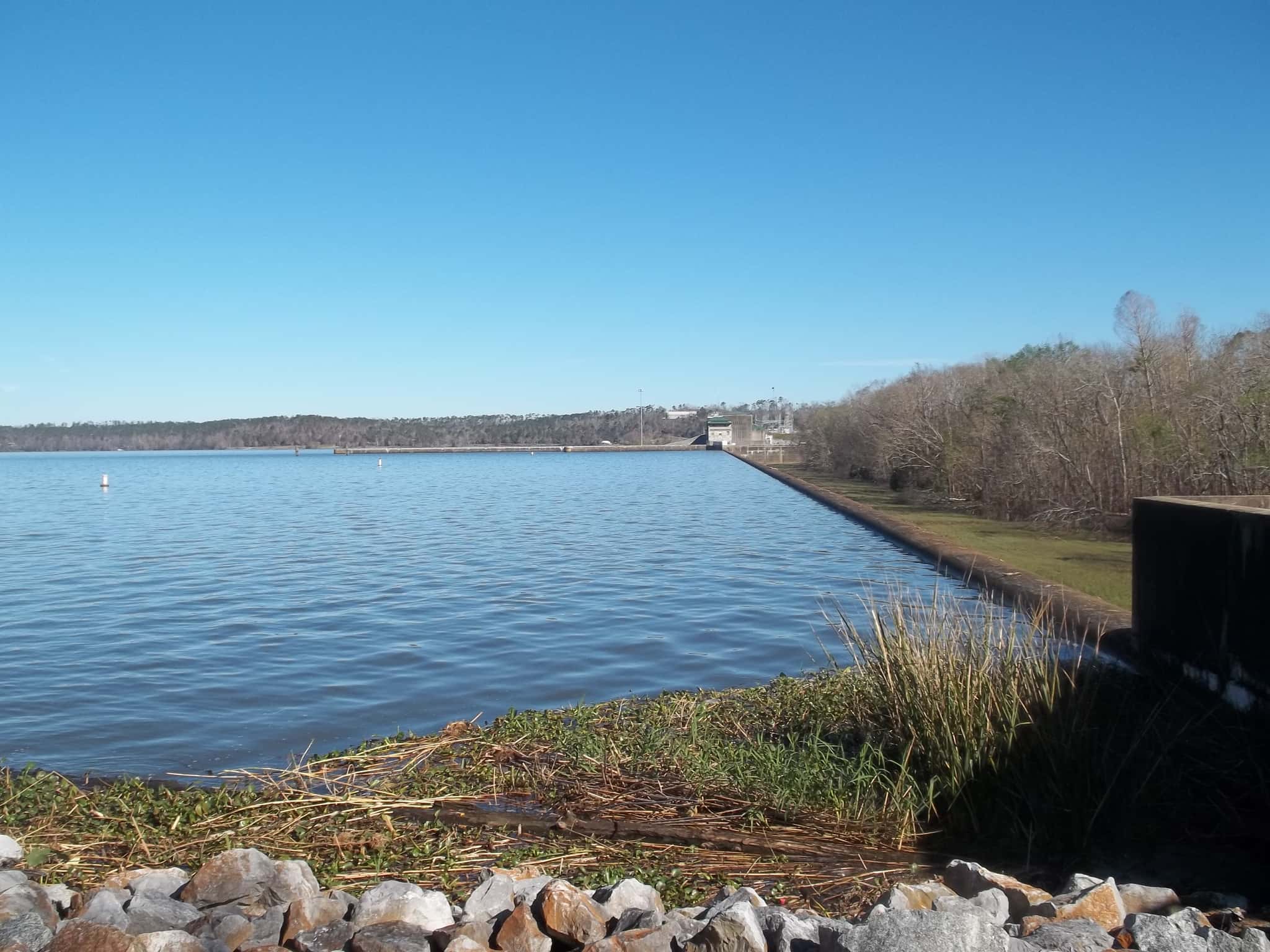
Lake Seminole fishing: Largemouth Bass, Redear, Bluegill
Target species: Largemouth Bass, Redear, Bluegill, Chain Pickerel, Spotted Sunfish, Flathead Catfish, Channel Catfish
Boat: 24 ramps and launches on file for this water.
Start here: Launch at Seminole SP - Lake Seminole, 3 lanes.
The lake
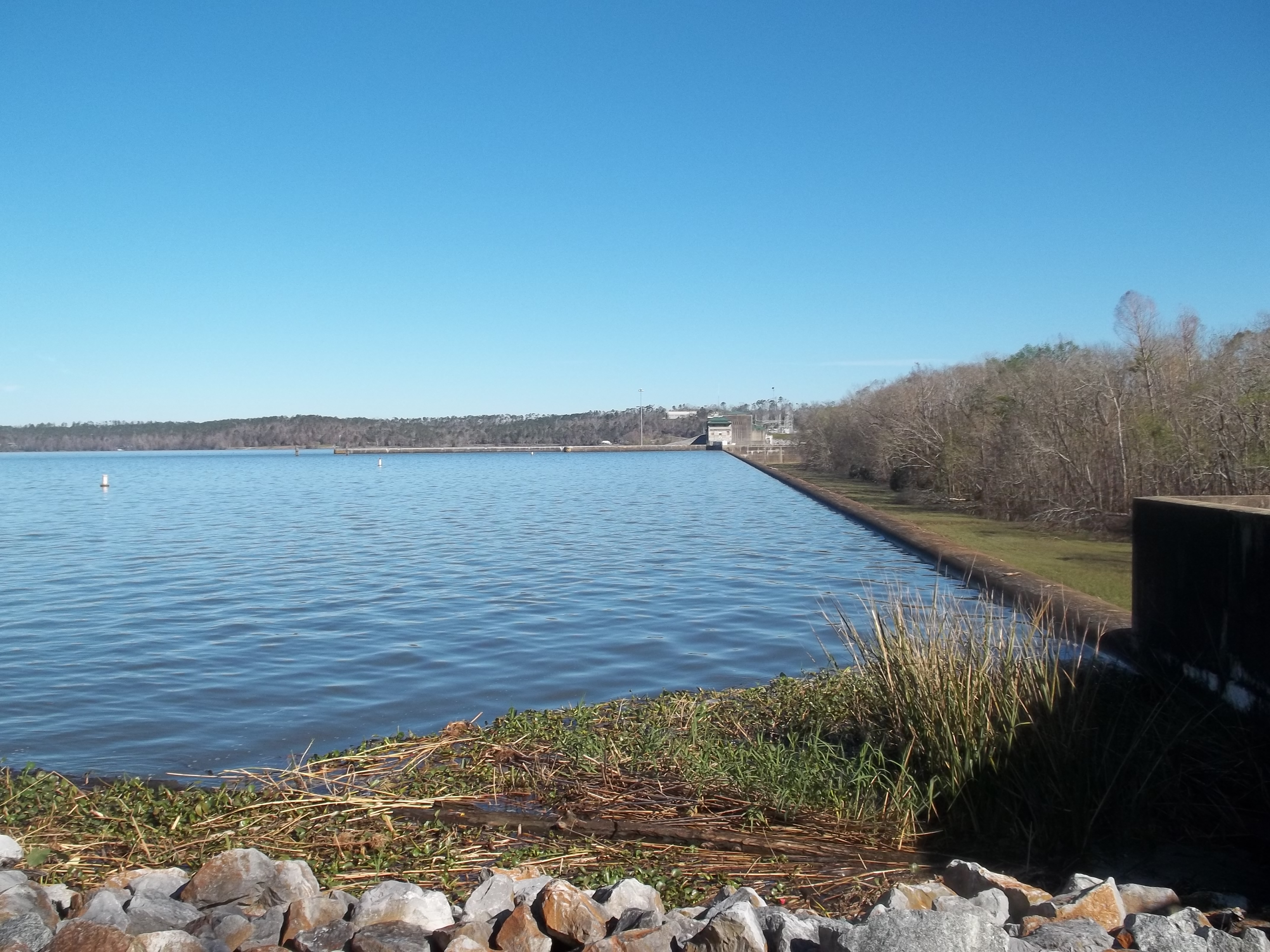
Lake Seminole covers 7,190 acres in Georgia, across Gadsden County. It is a lake: the deepest figure on record is 20 feet (6.1 m), as published by Webster, K.E., McCullough, I.M., Soranno, P.A. LAGOS-US DEPTH v1.0, EDI, doi:10.6073/pasta/64ddc4d04661d9aef4bd702dc5d8984f (CC BY 4.0); Cheruvelil et al. LAGOS-US LOCUS v1.0 (EDI), a figure without a map of the bottom. Our records hold 9 species for this water.
7 target fish, led by Largemouth Bass
- Largemouth Bass — Feeding water: 65–85°F.
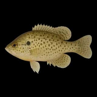
- Redear — Feeding water: 65–85°F.
- Bluegill — Feeding water: 70–85°F.
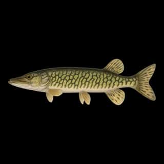
- Chain Pickerel — Feeding water: 60–75°F.
- Spotted Sunfish — Feeding water: 70–85°F.
- Flathead Catfish — Feeding water: 70–85°F.
- Channel Catfish — Feeding water: 70–85°F.
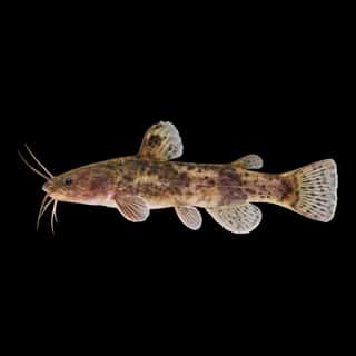
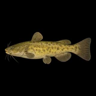
Also recorded here: Brown Bullhead, Tadpole Madtom.
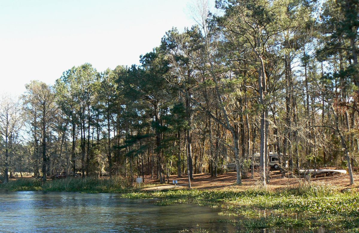
24 ramps and launches on this water
On this water we hold 24 trailer ramps.
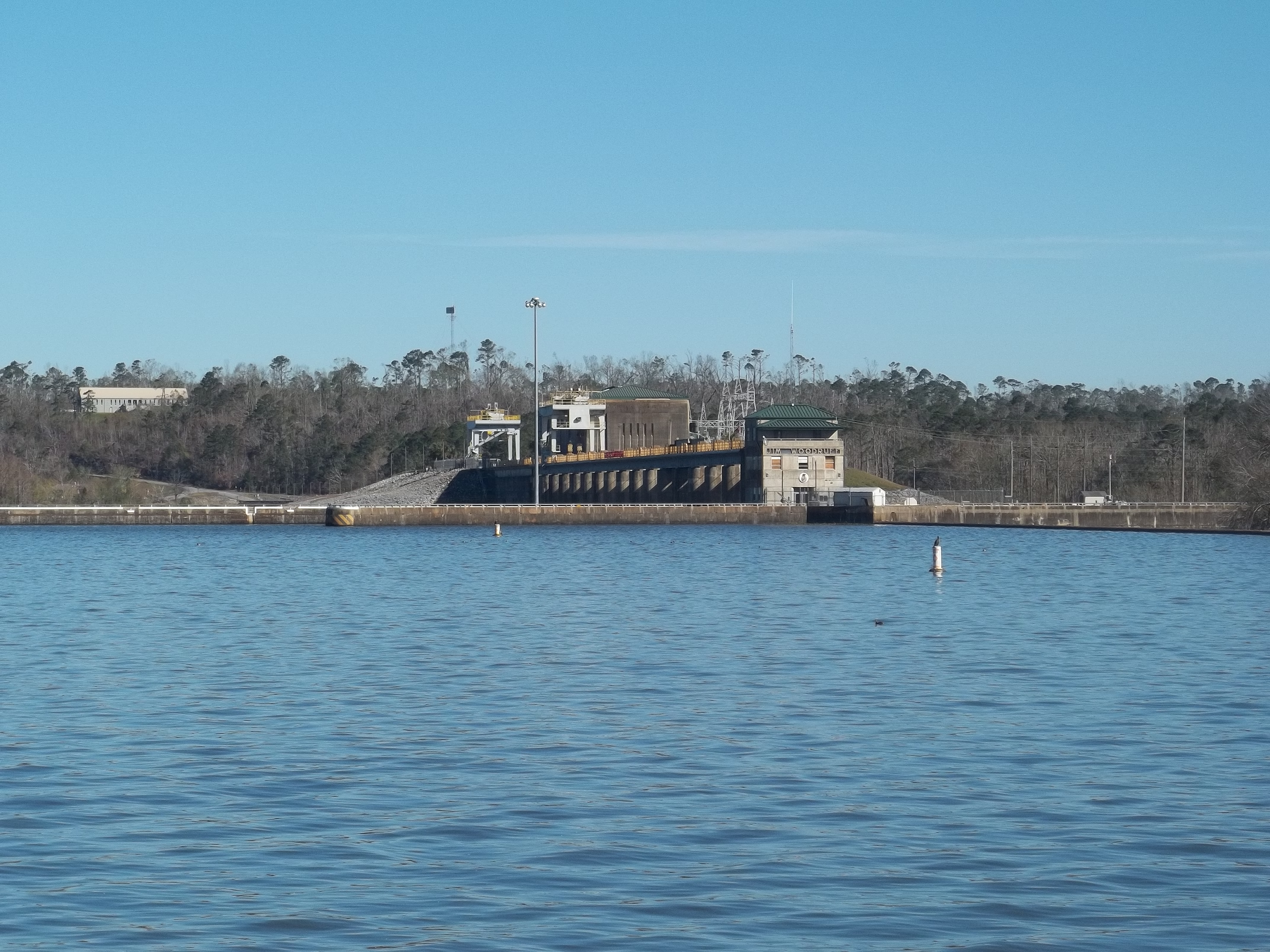
- Georgia - Lake Seminole Recreation Area - Chattahoochee Park — 2 lanes, concrete, parking for 44 trailers (paved), paid, daylight hours, flush restrooms, dock, wheelchair access. Bainbridge, United States Army Corps of Engineers. East Bank Road, Bainbridge 39819 · phone (229) 662-2001 · website georgiawildlife.com/boating/boater-resources
- Sneads Legion Park Public Boat Ramp — 2 lanes, concrete, parking for 43 trailers (paved), paid, open around the clock, flush restrooms, dock, wheelchair access. Sneads, Town of Sneads. 2406 Legion Road, Sneads 32460
- Three Rivers State Park - General Use Area Boat Ramp (small boats) — 1 lane, concrete, parking for 4 trailers (paved), paid, daylight hours, dock. Sneads, Florida Department of Environmental Protection. 7908 Three Rivers Road, Sneads 32460 · website floridastateparks.org/parks-and-trails/three-rivers-state-park
- Georgia - Lake Seminole Recreation Area - River Junction Boat Ramp — 1 lane, concrete, parking for 11 trailers (paved), paid, daylight hours, dock. Bainbridge, United States Army Corps of Engineers. River Junction Landing Road, Bainbridge 39819 · phone (229) 662-2001 · website georgiawildlife.com/boating/boater-resources
- Three Rivers State Park - Campground Canoe Launch (Campers Only) — 1 lane, natural bank, paid, daylight hours, flush restrooms, wheelchair access. Sneads, Florida Department of Environmental Protection. 7908 Three Rivers Road, Sneads 32460 · website floridastateparks.org/parks-and-trails/three-rivers-state-park
- Seminole SP - Lake Seminole — 3 lanes. DNR-PRHS. phone (229) 861-3137 · website gadnrwrd.maps.arcgis.com/apps/MapJournal/index.html?appid=59eaa7be5c5048cc88a8d4621bbe348a
- Hales Landing — 2 lanes. COE. phone (229) 662-2001 · website gadnrwrd.maps.arcgis.com/apps/MapJournal/index.html?appid=59eaa7be5c5048cc88a8d4621bbe348a
- Ralph King (SR253) — 2 lanes, restrooms. DNR-WRD. phone (478) 825-6151 · website gadnrwrd.maps.arcgis.com/apps/MapJournal/index.html?appid=59eaa7be5c5048cc88a8d4621bbe348a
- Reynoldsville Park — 2 lanes. COE. phone (229) 662-2001 · website gadnrwrd.maps.arcgis.com/apps/MapJournal/index.html?appid=59eaa7be5c5048cc88a8d4621bbe348a
- Silver Lake WMA North — 2 lanes. DNR-WRD. phone (229) 430-4256 · website georgiawildlife.com/silver-lake-wma
5 of the 10 places listed have both a fee and opening hours on file: a blank means we hold no such field, not that it is free or always open, and this list may not be complete.
Depth: 20 ft on record
Deepest figure on record: 20 ft (6.1 m), as published by Webster, K.E., McCullough, I.M., Soranno, P.A. LAGOS-US DEPTH v1.0, EDI, doi:10.6073/pasta/64ddc4d04661d9aef4bd702dc5d8984f (CC BY 4.0); Cheruvelil et al. LAGOS-US LOCUS v1.0 (EDI). We hold no survey map of this bottom, so we show no depth bands.
What is hard here
Wind is the limit, not the fish: 7,190 acres of open water build a short steep chop, and there is no shelter in the middle. Summer water sits at 85°F: heat and afternoon lightning are the real risks, not the fishing.
Where this data comes from
- Webster, K.E., McCullough, I.M., Soranno, P.A. LAGOS-US DEPTH v1.0, EDI, doi:10.6073/pasta/64ddc4d04661d9aef4bd702dc5d8984f (CC BY 4.0); Cheruvelil et al. LAGOS-US LOCUS v1.0 (EDI) — LAGOS-US DEPTH v1.0: Lake depth for 17,675 lakes in the conterminous U.S.: class B, a depth figure measured and published by an agency, without a bottom map.