Salt Fork Lake fishing: Walleye, Muskellunge, Largemouth Bass
Target species: Walleye, Muskellunge, Largemouth Bass, Smallmouth Bass, Channel Catfish, Flathead Catfish
Boat: 9 ramps and launches on file for this water.
Start here: Launch at Salt Fork State Park - Cabin Area.
The reservoir
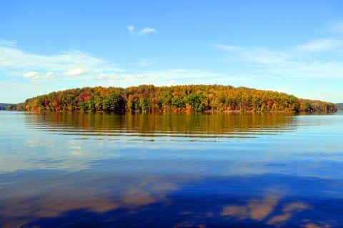
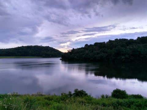
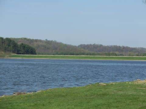
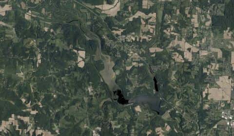
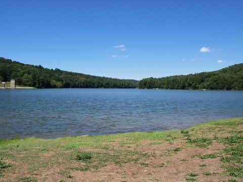
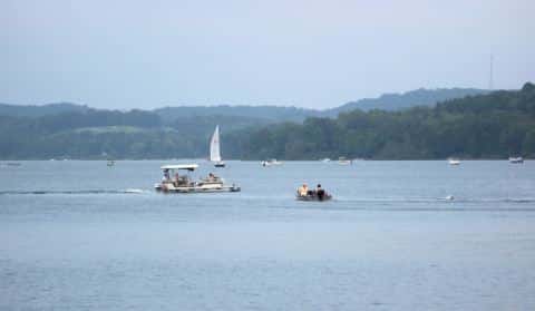
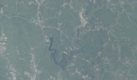
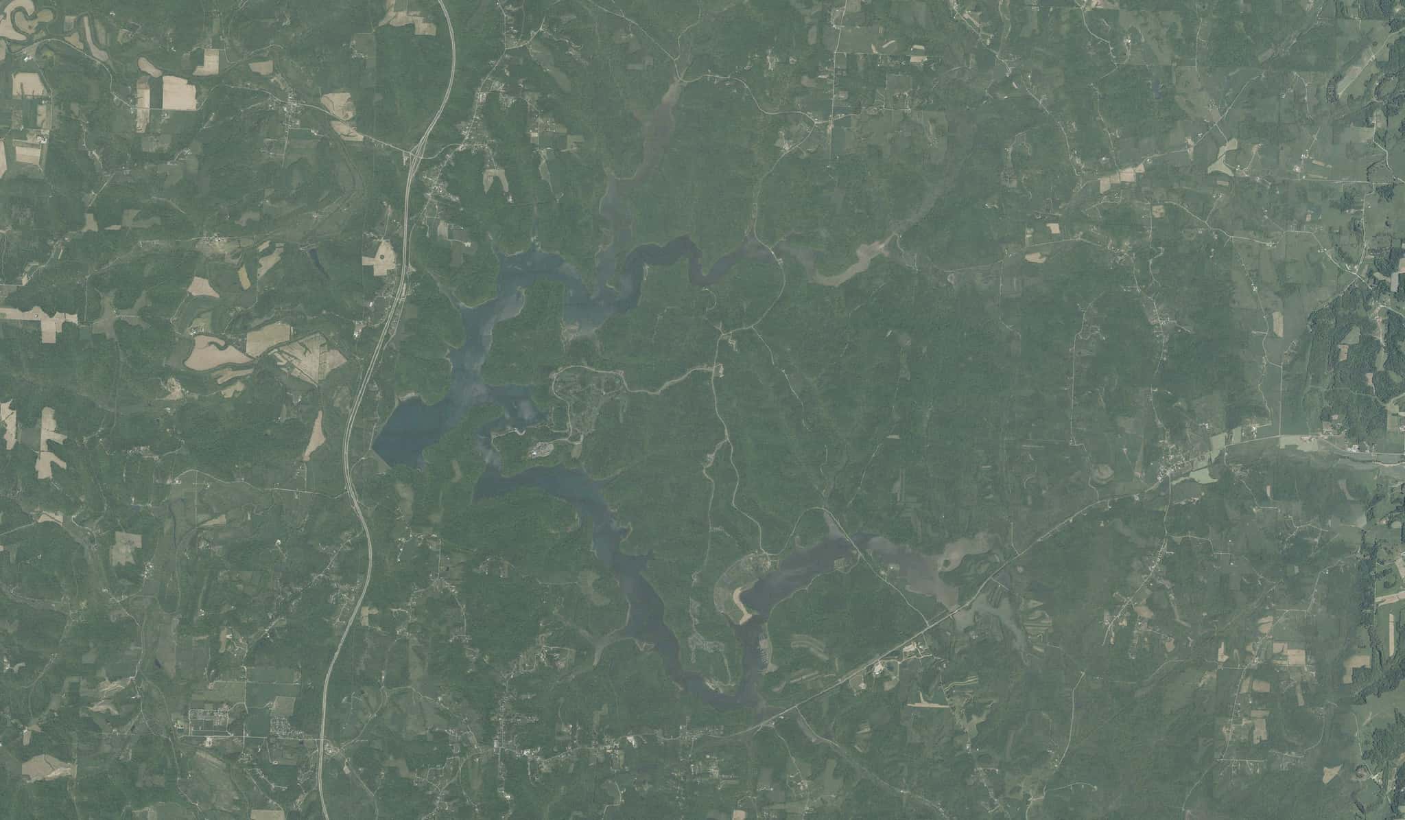
Salt Fork Lake covers 2,960 acres in Ohio, across Guernsey County. It is a reservoir: 94.2% of it is 24 feet deep or less; the deepest point measured is 36 feet (11 m). Our records hold 7 species for this water.
6 target fish, led by Walleye
- Walleye — Feeding water: 50–75°F.
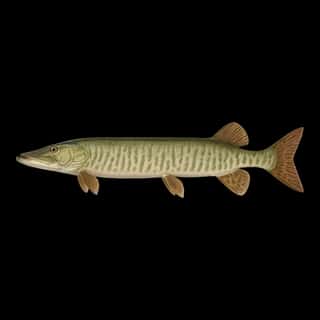
- Muskellunge — Feeding water: 65–75°F.
- Largemouth Bass — Feeding water: 65–85°F.
- Smallmouth Bass — Feeding water: 60–75°F.
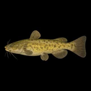
- Channel Catfish — Feeding water: 70–85°F.
- Flathead Catfish — Feeding water: 70–85°F.
Also recorded here: Redear.
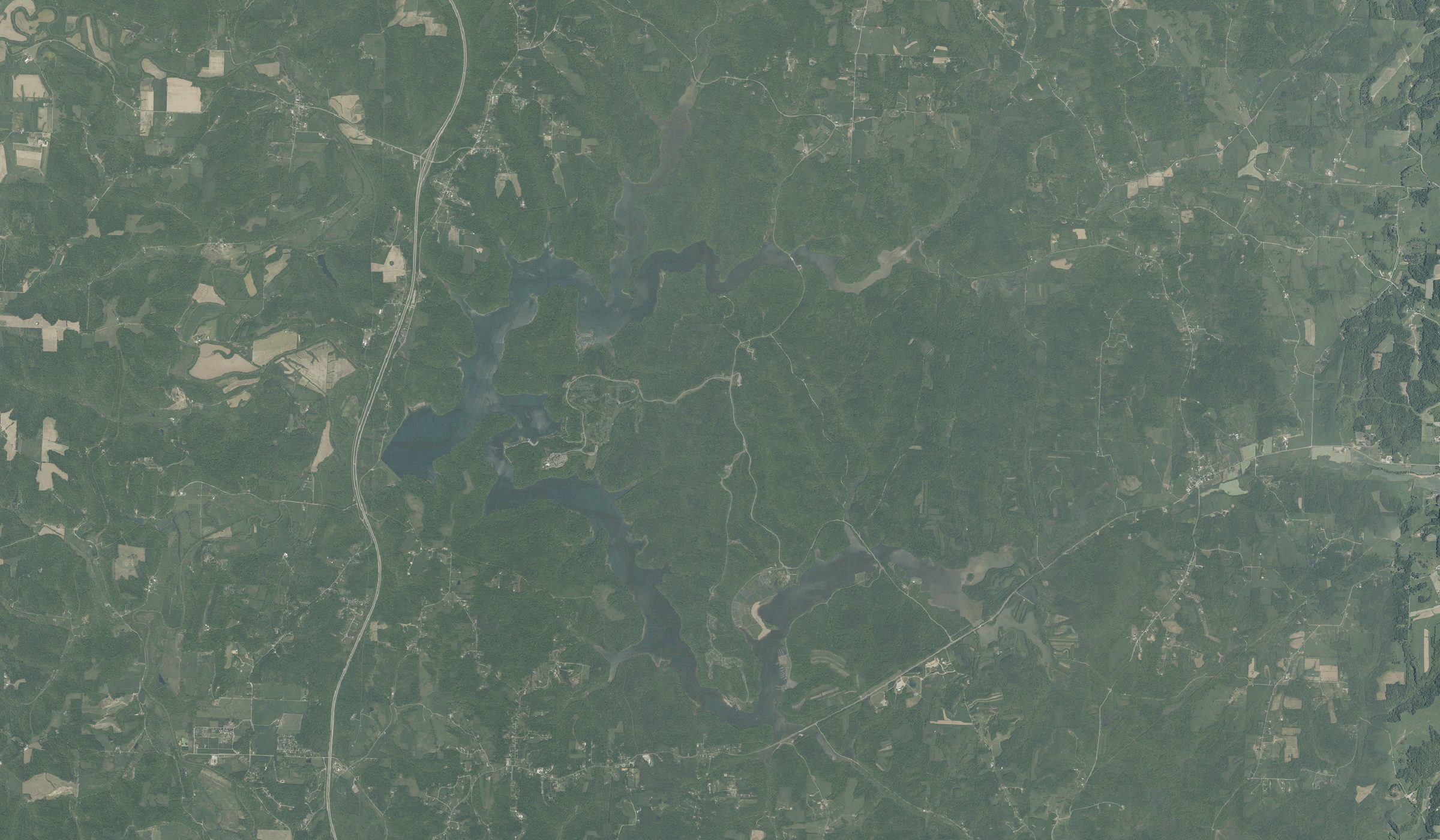
Depth: down to 36 ft at the deepest measured point
Deepest measured point: 36 ft (11 m). 94.2% of the water is 24 feet or shallower. We hold 206 depth contours for this water, drawn from 48,013 soundings.
- 0–2 ft: 13.4% of the water
- 2–4 ft: 7.9% of the water
- 4–6 ft: 8.9% of the water
- 6–8 ft: 10.1% of the water
- 8–10 ft: 9% of the water
- 10–12 ft: 8.7% of the water
- 12–14 ft: 7.5% of the water
- 14–16 ft: 7.1% of the water
- 16–18 ft: 6.6% of the water
- 18–20 ft: 6% of the water
- 20–22 ft: 4.8% of the water
- 22–24 ft: 4.2% of the water
- 24–26 ft: 4.7% of the water
- 26–28 ft: 1% of the water
Stocking: 43,270,946 fish, 1993–2022
Ohio DNR Division of Wildlife records list 43,270,946 fish released into this water from 1993 to 2022. The latest stocking on record is from 2022, more than three years ago.
- Walleye: 18,506,965 in 1979–2000
- Channel Catfish: 1,137,196 in 1970–2008
- Muskellunge: 137,998 in 2002–2021
- Largemouth Bass: 117,500 in 1972–1979
- Smallmouth Bass: 35,000 in 1979
- Flathead Catfish: 10,000 in 1973
2 more species on the stocking list.
9 ramps and launches on this water
On this water we hold 9 boat ramps.
- Salt Fork State Park - Cabin Area — Cambridge, ODNR Division of Parks & Recreation. Park Road #3, Cambridge 43755- · phone (740) 439-3521 · website parks.ohiodnr.gov
- Salt Fork State Park - Campground Ramp — on Salt Fork Reservoir, Cambridge, ODNR Division of Parks & Recreation. Park Road #5, Cambridge 43755- · phone (740) 439-3521 · website parks.ohiodnr.gov
- Salt Fork State Park - Morning Glory Ramp — Lore City, ODNR Division of Parks & Recreation. County Road 35, Lore City 43755- · phone (740) 439-3521 · website parks.ohiodnr.gov
- Salt Fork State Park - North Salem Ramp — Lore City, ODNR Division of Parks & Recreation. off County Road 831, Lore City 43755- · phone (740) 439-3521 · website parks.ohiodnr.gov
- Salt Fork State Park - Park Office Ramp — on Salt Fork Reservoir, Lore City, ODNR Division of Parks & Recreation. off US Route 22, Lore City 43755- · phone (740) 439-3521 · website parks.ohiodnr.gov
- Salt Fork State Park - Rocky Fork Access — on Salt Fork Reservoir, Cambridge, ODNR Division of Parks & Recreation. County Road 851, Cambridge 43755- · phone (740) 439-3521 · website parks.ohiodnr.gov
- Salt Fork State Park - Salt Fork Marina — on Salt Fork Reservoir, Lore City, ODNR Division of Parks & Recreation. off US Route 22 on Park Rd 14 to the 1st left, Lore City 43755- · phone (740) 439-3521 · website parks.ohiodnr.gov
- Salt Fork State Park - Sugartree Ramp and Marina — Lore City, ODNR Division of Parks & Recreation. off County Road 851, Lore City 43725- · phone (740) 439-3521 · website parks.ohiodnr.gov
- US 22 Wildlife Access Ramp — on Salt Fork Reservoir, Lore City, Division of Wildlife - District 4. just East intersection of SR 22 and Sundew Rd, Lore City 43755- · phone (740) 589-9930 · website wildlife.ohiodnr.gov
Fee and opening hours are blank for all 9 places in this list: a blank means we hold no such field, not that it is free or always open, and this list may not be complete.
What is hard here
Only 9 public ramps are on file, so the launch decides where you fish.
Where this data comes from
- Ohio DNR — Ohio DNR: depth contours: class A, a survey of the bottom.
- Webster, K.E., McCullough, I.M., Soranno, P.A. LAGOS-US DEPTH v1.0, EDI, doi:10.6073/pasta/64ddc4d04661d9aef4bd702dc5d8984f (CC BY 4.0); Cheruvelil et al. LAGOS-US LOCUS v1.0 (EDI) — LAGOS-US DEPTH v1.0: Lake depth for 17,675 lakes in the conterminous U.S.: class B, a depth figure measured and published by an agency, without a bottom map.