Atwood Lake fishing: Northern Pike, Largemouth Bass, Walleye
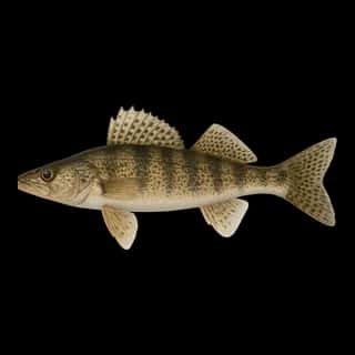
Target species: Northern Pike, Largemouth Bass, Walleye, Channel Catfish
Boat: 4 ramps and launches on file for this water.
Start here: Launch at Atwood Lake Beach Courtesy Docks.
The reservoir
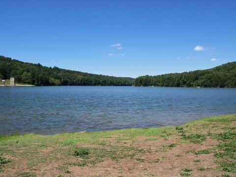
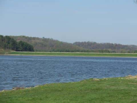
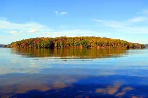
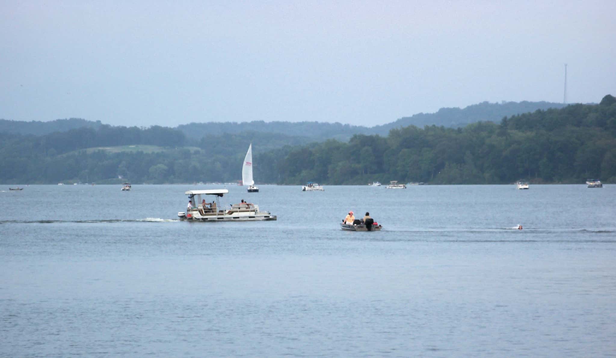
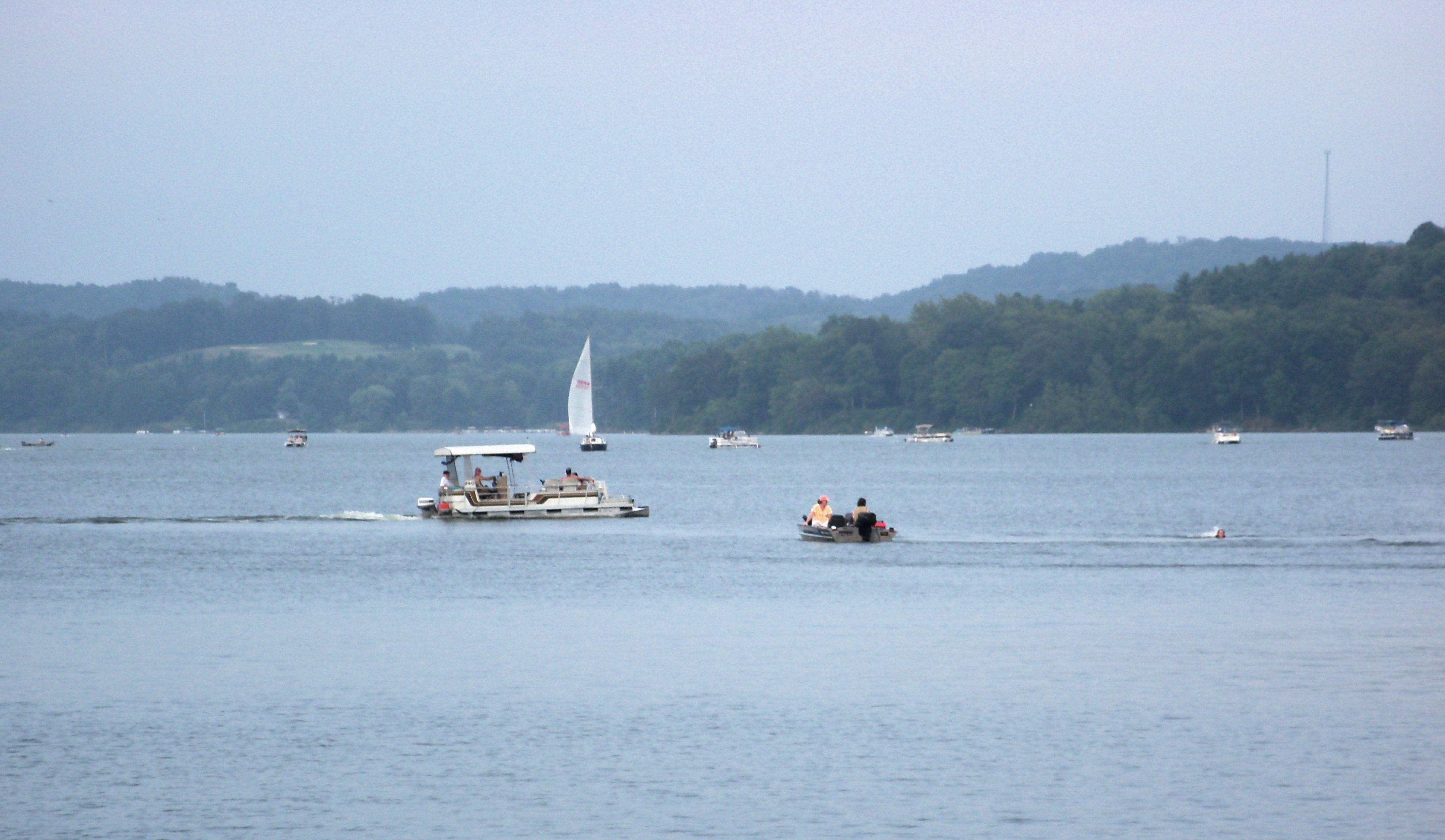
Atwood Lake covers 1,532 acres in Ohio, across 2 counties: Carroll and Tuscarawas. It is a reservoir: 91.5% of it is 24 feet deep or less; the deepest point measured is 33.1 feet (10.1 m); at the dam, USGS RESSED gives 51 feet (15.5 m) at full pool. Our records hold 5 species for this water.
Depth: down to 33.1 ft at the deepest measured point
Deepest measured point: 33.1 ft (10.1 m). USGS RESSED gives 51 ft (15.5 m) at the dam at full pool: a measured figure, not a survey map. 91.5% of the water is 24 feet or shallower. We hold 95 depth contours for this water, drawn from 25,258 soundings.
- 0–2 ft: 6.2% of the water
- 2–4 ft: 7.1% of the water
- 4–6 ft: 8.9% of the water
- 6–8 ft: 8.7% of the water
- 8–10 ft: 7.6% of the water
- 10–12 ft: 8.1% of the water
- 12–14 ft: 7.8% of the water
- 14–16 ft: 8.1% of the water
- 16–18 ft: 6.4% of the water
- 18–20 ft: 7.2% of the water
- 20–22 ft: 7.9% of the water
- 22–24 ft: 7.5% of the water
- 24–26 ft: 3.8% of the water
- 26–28 ft: 4.2% of the water
- 28–30 ft: 0.7% of the water
4 target fish, led by Northern Pike
- Northern Pike — Feeding water: 50–75°F.
- Largemouth Bass — Feeding water: 65–85°F.
- Walleye — Feeding water: 50–75°F.
- Channel Catfish — Feeding water: 70–85°F.
Also recorded here: Sauger.
Water and conditions
Water clarity runs 1.4–4.5 feet on our readings, averaging 2.8 feet, from 38 readings. Our water temperature readings average 72°F; they do not cover the whole year, so this is not a yearly average. The coldest single reading we hold is 58°F and the warmest is 84°F; the warmest monthly average is 80°F. pH averages 8.1. These readings span 2016–2019. The latest reading is from 2019, more than three years ago: read these numbers as history, not as the water today.
Stocking: 11,598,881 fish, 1993–2022
Ohio DNR Division of Wildlife records list 11,598,881 fish released into this water from 1993 to 2022. The latest stocking on record is from 2022, more than three years ago.
- Northern Pike: 146,840 in 1971–1990
- Channel Catfish: 89,568 in 1972–2020
- Walleye: 85,566 in 1970–1987
- Largemouth Bass: 82,384 in 1971–1978
One more species on the stocking list.
4 ramps and launches on this water
On this water we hold 4 boat ramps.
- Atwood Lake Beach Courtesy Docks — Mineral City, Muskingum Watershed Conservancy District. Off of County Hwy 114, Mineral City 44656- · phone (330) 343-6780 · website mwcd.org
- Atwood Lake Boat Launch — Mineral City, Muskingum Watershed Conservancy District. 4956 Shop Rd. N.E., Mineral City 44656- · phone (330) 343-6780 · website mwcd.org
- Atwood Lake East Marina — Dellroy, Muskingum Watershed Conservancy District. 1601 Magnolia Rd., Dellroy 44620- · phone (330) 735-2323 · website mwcd.org
- Atwood Lake West Marina — Mineral City, Atwood Lake West Marina. 9298 Atwood Lake Rd, Mineral City 44656- · phone (330) 364-4703 · website atwoodlakeboats.com
Fee and opening hours are blank for all 4 places in this list: a blank means we hold no such field, not that it is free or always open, and this list may not be complete.
What is hard here
Clarity swings from 1.4 to 4.5 feet between our readings — the water you meet is not the water someone photographed.
Where this data comes from
- Ohio DNR — Ohio DNR: depth contours: class A, a survey of the bottom.
- USACE CWMS — USACE CWMS elevation-area curves: class B, a depth figure measured and published by an agency, without a bottom map.
- USGS RESSED — USGS RESSED reservoir sedimentation database: class B, a depth figure measured and published by an agency, without a bottom map.
- EPA NLA — EPA National Lakes Assessment: class B, a depth figure measured and published by an agency, without a bottom map.
- Webster, K.E., McCullough, I.M., Soranno, P.A. LAGOS-US DEPTH v1.0, EDI, doi:10.6073/pasta/64ddc4d04661d9aef4bd702dc5d8984f (CC BY 4.0); Cheruvelil et al. LAGOS-US LOCUS v1.0 (EDI) — LAGOS-US DEPTH v1.0: Lake depth for 17,675 lakes in the conterminous U.S.: class B, a depth figure measured and published by an agency, without a bottom map.