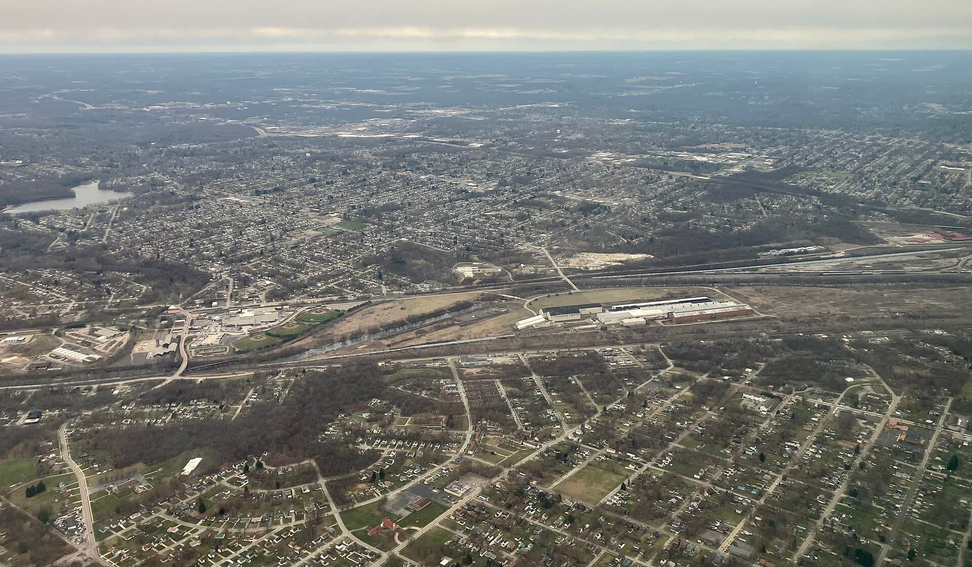
63 public boat ramps on published waters near Youngstown.
Distances are straight-line from downtown Youngstown; below are the 12 closest, grouped by water.
Mosquito Creek Lake
Recorded in Mosquito Creek Lake: Largemouth Bass, Channel Catfish, and Walleye.
Surveyed depths in Mosquito Creek Lake reach 26 ft.
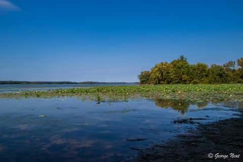
- 1Mosquito Creek - Corps of Engineers Ramp (RTE 305): boat ramp on Mosquito Creek Lake, ≈ 15 mi from downtown.
- 2Mosquito Lake State Park - Main Park Ramp: boat ramp on Mosquito Creek Lake, ≈ 15.2 mi from downtown.
- 3Mosquito Lake State Park - Marina Concession Ramp: boat ramp on Mosquito Creek Lake, ≈ 15.4 mi from downtown.
- 4Mosquito Lake State Park - Campgrounds Ramp: boat ramp on Mosquito Creek Lake, ≈ 16.1 mi from downtown.
- 5Mosquito Lake State Park - Hillside Cemetary Access: boat ramp on Mosquito Creek Lake, ≈ 16.3 mi from downtown.
Lake Milton
Recorded in Lake Milton: Smallmouth Bass, Muskellunge, Walleye, and Channel Catfish.
Surveyed depths in Lake Milton reach 36 ft.
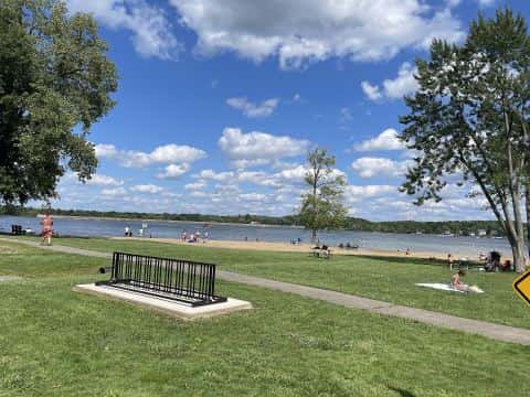
- 6Lake Milton State Park - Miller Landing: boat ramp on Lake Milton, ≈ 16.7 mi from downtown.
- 7Lake Milton State Park - Pointview Ramp: boat ramp on Lake Milton, ≈ 17.2 mi from downtown.
- 8Lake Milton State Park - Robinson Point Launch Ramp: boat ramp on Lake Milton, ≈ 17.3 mi from downtown.
Berlin Lake
Recorded in Berlin Lake: Muskellunge, Grass Carp, Channel Catfish, and Largemouth Bass.
Surveyed depths in Berlin Lake reach 60 ft.
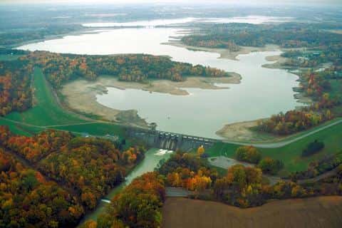
- 9Berlin Reservoir Wildlife Ramp: boat ramp on Berlin Lake, ≈ 19.1 mi from downtown.
- 10Les's Bait: boat ramp on Berlin Lake, ≈ 19.3 mi from downtown.
- 11Mill Creek Recreation Area: boat ramp on Berlin Lake, ≈ 19.5 mi from downtown.
- 12Dutch Harbor: boat ramp on Berlin Lake, ≈ 19.6 mi from downtown.
When the fish bite here
By our bite calendar, November is a slow month around Youngstown for the fish recorded at these stops — the bars on each card show when each one picks up.
 FreshwaterSlow
Channel Catfish
Ictalurus punctatus
Ictaluridae
48 in50 lb20 yr348 watersGame fish FreshwaterSlow
Largemouth Bass
Micropterus salmoides
Centrarchidae
30 in22 lb16 yr935 watersGame fish FreshwaterSlow
Walleye
Sander vitreus
Percidae
30 in18 lb10 yr758 watersGame fish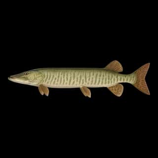 FreshwaterSlow
Muskellunge
Esox masquinongy
Esocidae
60 in80 lb20 yr144 watersGame fish FreshwaterSlow
Smallmouth Bass
Micropterus dolomieu
Centrarchidae
24 in12 lb10 yr443 watersGame fish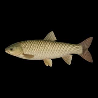 FreshwaterSlow
Grass Carp
Ctenopharyngodon idella
Xenocyprididae
48 in80 lb10 yr65 waters