Pishkun Reservoir fishing: Rainbow Trout, Cutthroat Trout, Walleye
Target species: Rainbow Trout, Cutthroat Trout, Walleye, Yellow Perch, Arctic Grayling
Boat: 1 ramp or launch on file for this water.
Start here: Launch at Pishkun Reservoir.
The reservoir
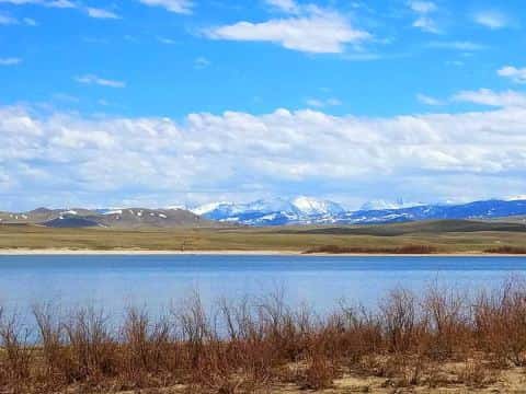
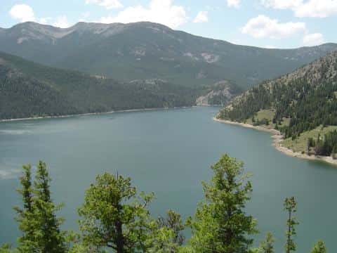
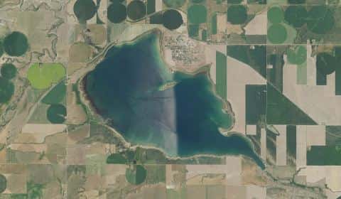
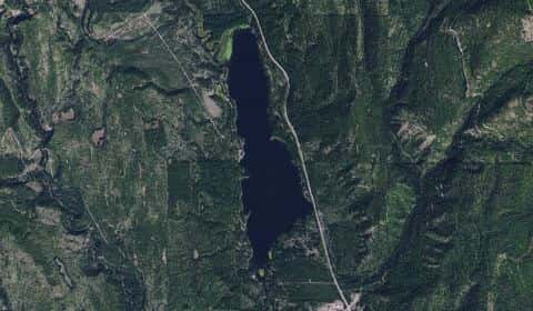
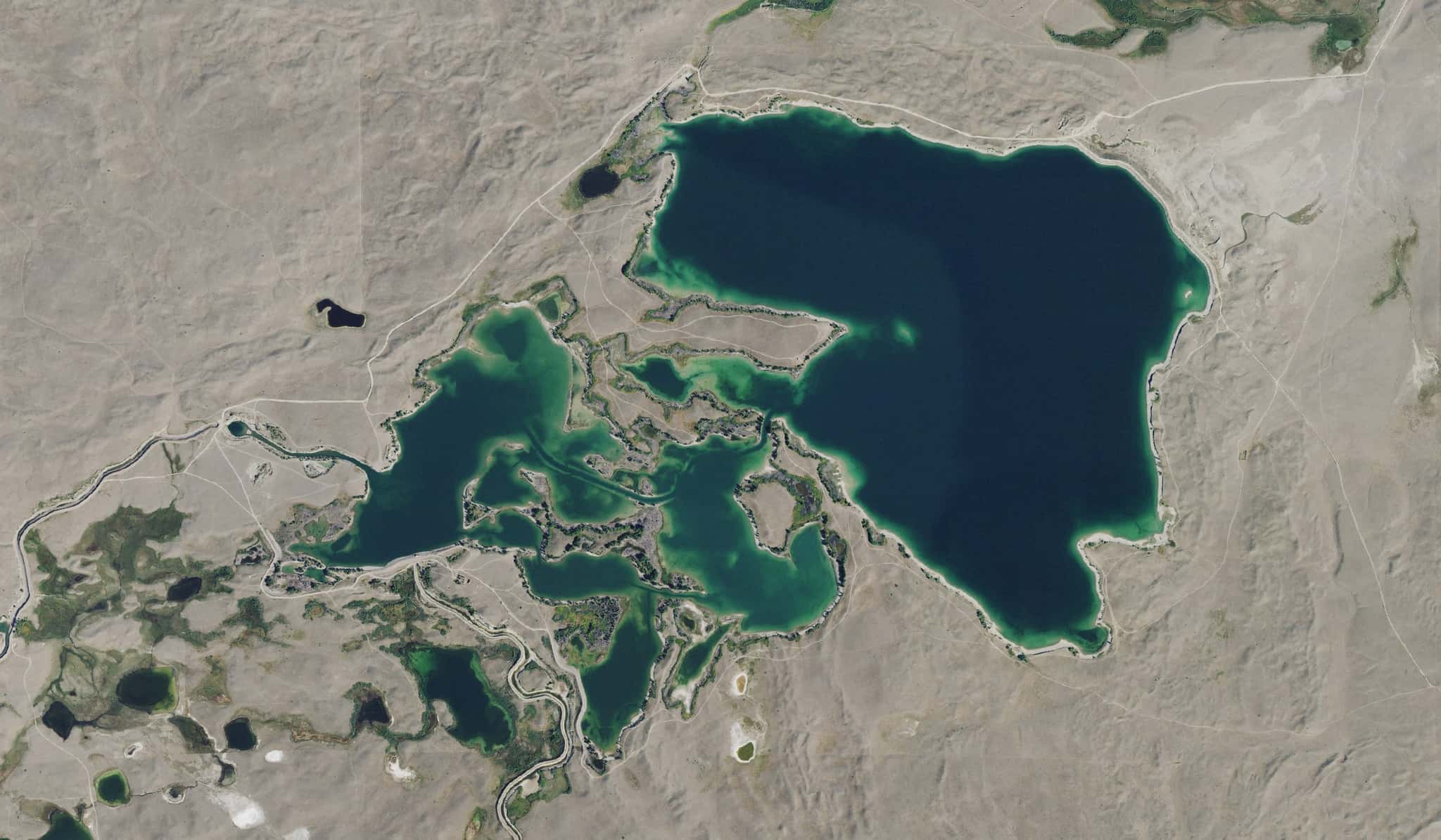
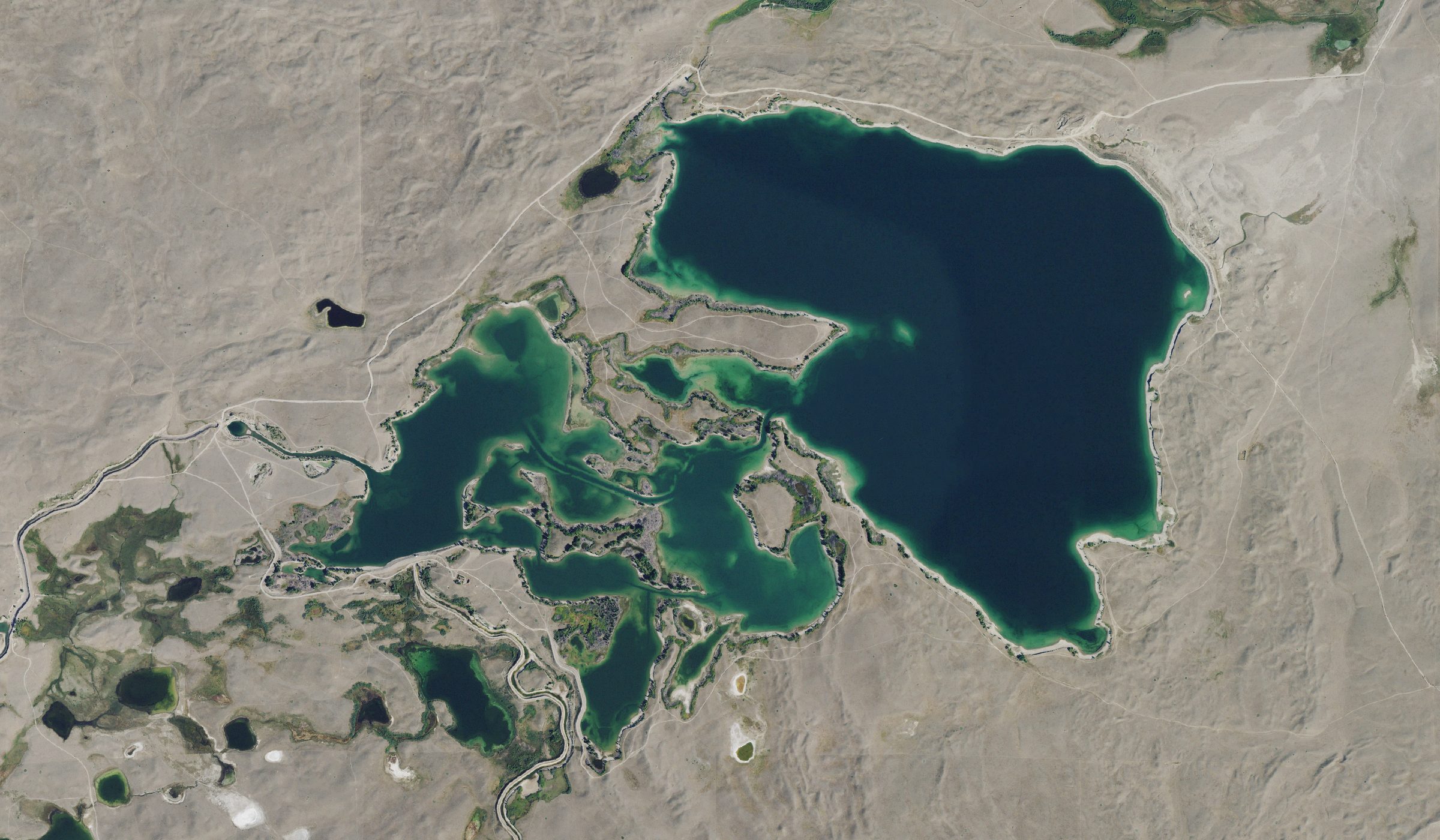
Pishkun Reservoir covers 1,519 acres in Montana, across Teton County. It is a reservoir: 92.3% of it is 60 feet deep or less; the deepest point measured is at least 78 feet (23.8 m). Our records hold 7 species for this water.
Depth and bottom
Deepest measured point: at least 78 ft (23.8 m). That is the deepest contour line: the bottom goes deeper. 92.3% of the water is 60 feet or shallower. We hold 45 depth contours for this water, drawn from 148,281 soundings.
- 0–5 ft: 20% of the water
- 5–10 ft: 16% of the water
- 10–15 ft: 9% of the water
- 15–20 ft: 6.6% of the water
- 20–25 ft: 5.5% of the water
- 25–30 ft: 5.4% of the water
- 30–35 ft: 5.1% of the water
- 35–40 ft: 6.5% of the water
- 40–45 ft: 6.9% of the water
- 45–50 ft: 4.5% of the water
- 50–55 ft: 3.5% of the water
- 55–60 ft: 3.3% of the water
- 60–65 ft: 1.9% of the water
- 65–70 ft: 2.2% of the water
- 70–73 ft: 3.5% of the water
5 target fish, led by Rainbow Trout
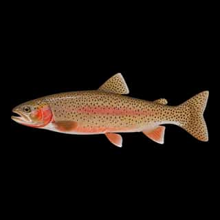
- Rainbow Trout — Feeding water: 50–65°F.
- Cutthroat Trout — Feeding water: 50–65°F.
- Walleye — Feeding water: 50–75°F.
- Yellow Perch — Feeding water: 45–75°F.
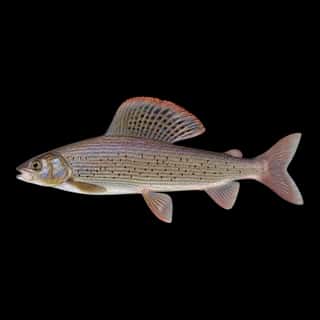
- Arctic Grayling — Feeding water: 50–65°F.
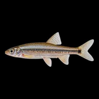
Also recorded here: Northern Pike, Spottail Shiner.
Stocking: 10,105,454 fish, 1996–2026
Montana Fish, Wildlife & Parks records list 10,105,454 fish released into this water from 1996 to 2026.
- Rainbow Trout: 3,028,206 in 2005–2024
- Walleye: 525,000 in 1974
- Arctic Grayling: 333,450 in 1937–1943
- Cutthroat Trout: 12,000 in 1948
- Spottail Shiner: 8,400 in 1987–1989
3 more species on the stocking list.
1 ramp or launch on this water
On this water we hold 1 boat ramp.
- Pishkun Reservoir website myfwp.mt.gov/fishMT/fas/39753624
The place listed has no fee or opening hours on file: a blank means we hold no such field, not that it is free or always open, and this list may not be complete.
What is hard here
Only 1 public ramp is on file, so the launch decides where you fish.
Where this data comes from
- US Bureau of Reclamation — USBR reservoir sedimentation surveys: class A, a survey of the bottom, 2002.
- Montana Fish, Wildlife & Parks — Montana Fish, Wildlife & Parks: depth contours: class A, a survey of the bottom.
- EPA NLA — EPA National Lakes Assessment: class B, a depth figure measured and published by an agency, without a bottom map.