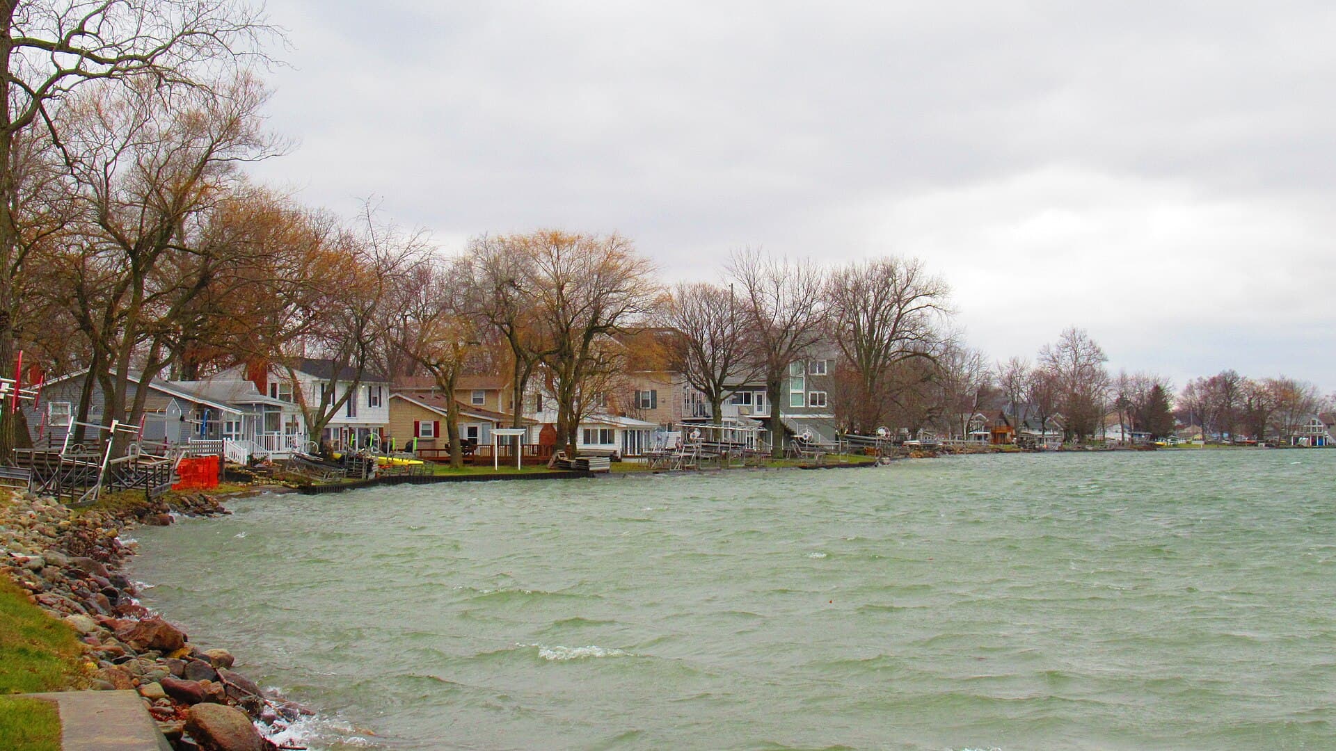
Two days, 4 stops on 4 public waters, all within 75 minutes of Jackson. Each stop below has its drive time, its access point and the fish recorded there.
Day 1
Morning: Devils Lake
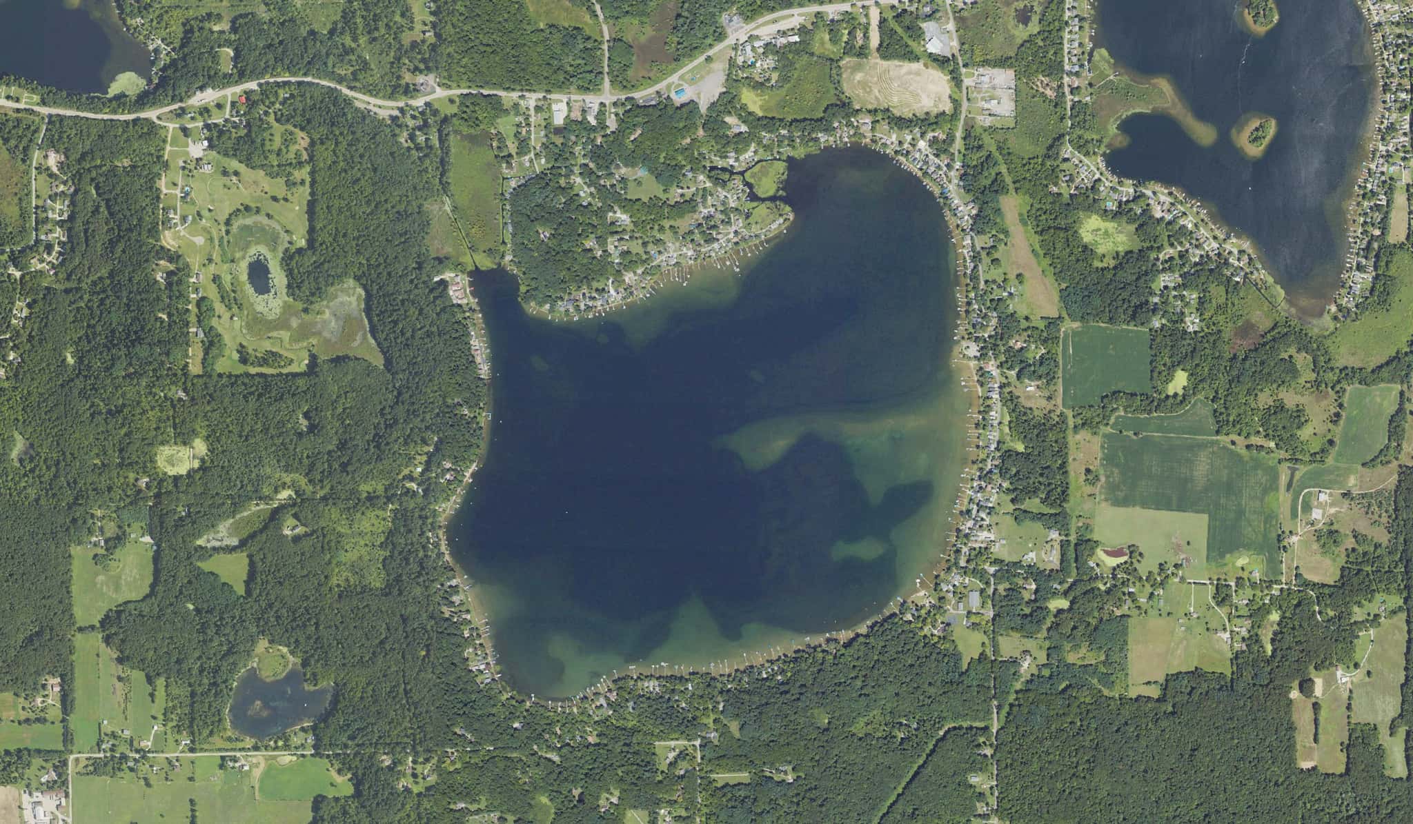
Start the day on Devils Lake, launching from the ramp below.
Devils Lake is a 30-minute drive from downtown Jackson. Launch at Devils Lake, the public ramp on Devils Lake closest to downtown (≈ 19 mi). Public access on Devils Lake: 1 boat ramp. Surveyed depths reach 63 ft. Recorded here: Walleye, Redear, Yellow Perch, and Golden Shiner.
From Devils Lake to Sand Lake: 26 min by road (15.9 mi).
Evening: Sand Lake
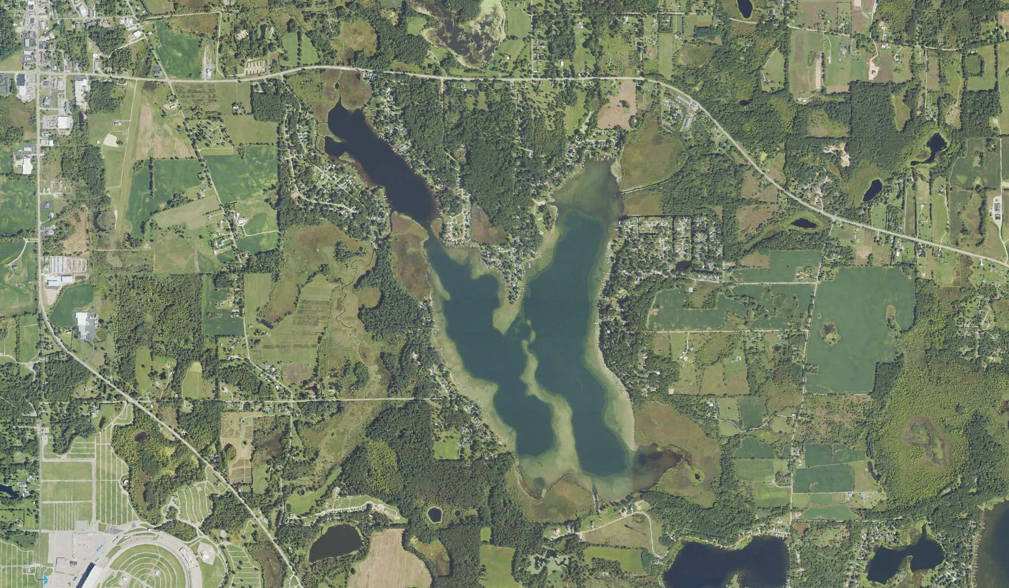
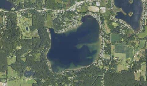
End the day on Sand Lake.
Sand Lake is a 35-minute drive from downtown Jackson. Launch at Sand Lake, the public ramp on Sand Lake closest to downtown (≈ 19.6 mi). Public access on Sand Lake: 1 boat ramp. Surveyed depths reach 53 ft. Recorded here: Walleye, Redear, Northern Pike, and Common Carp.
Day 2
Morning: Vineyard Lake
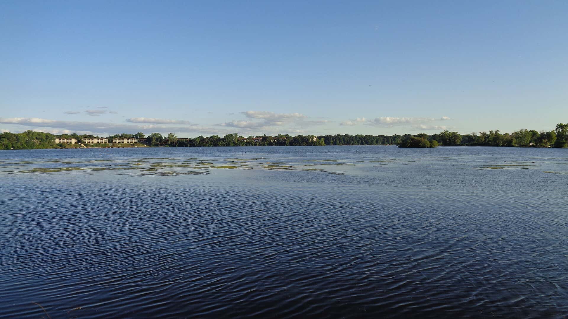
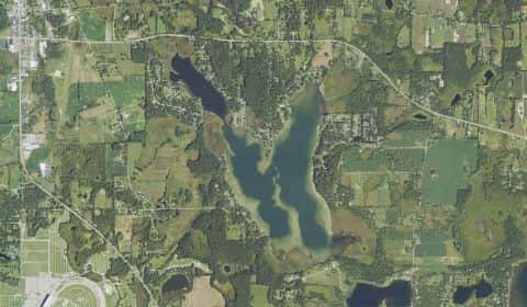
Start the day on Vineyard Lake, launching from the ramp below.
Vineyard Lake is a 26-minute drive from downtown Jackson. Launch at Vineyard Lake County Park, the public ramp on Vineyard Lake closest to downtown (≈ 14.6 mi). Public access on Vineyard Lake: 1 boat ramp. Surveyed depths reach 42 ft. Recorded here: Walleye, Northern Pike, Redear, and Common Carp.
From Vineyard Lake County Park to Ford Lake: 55 min by road (38.3 mi).
Evening: Ford Lake
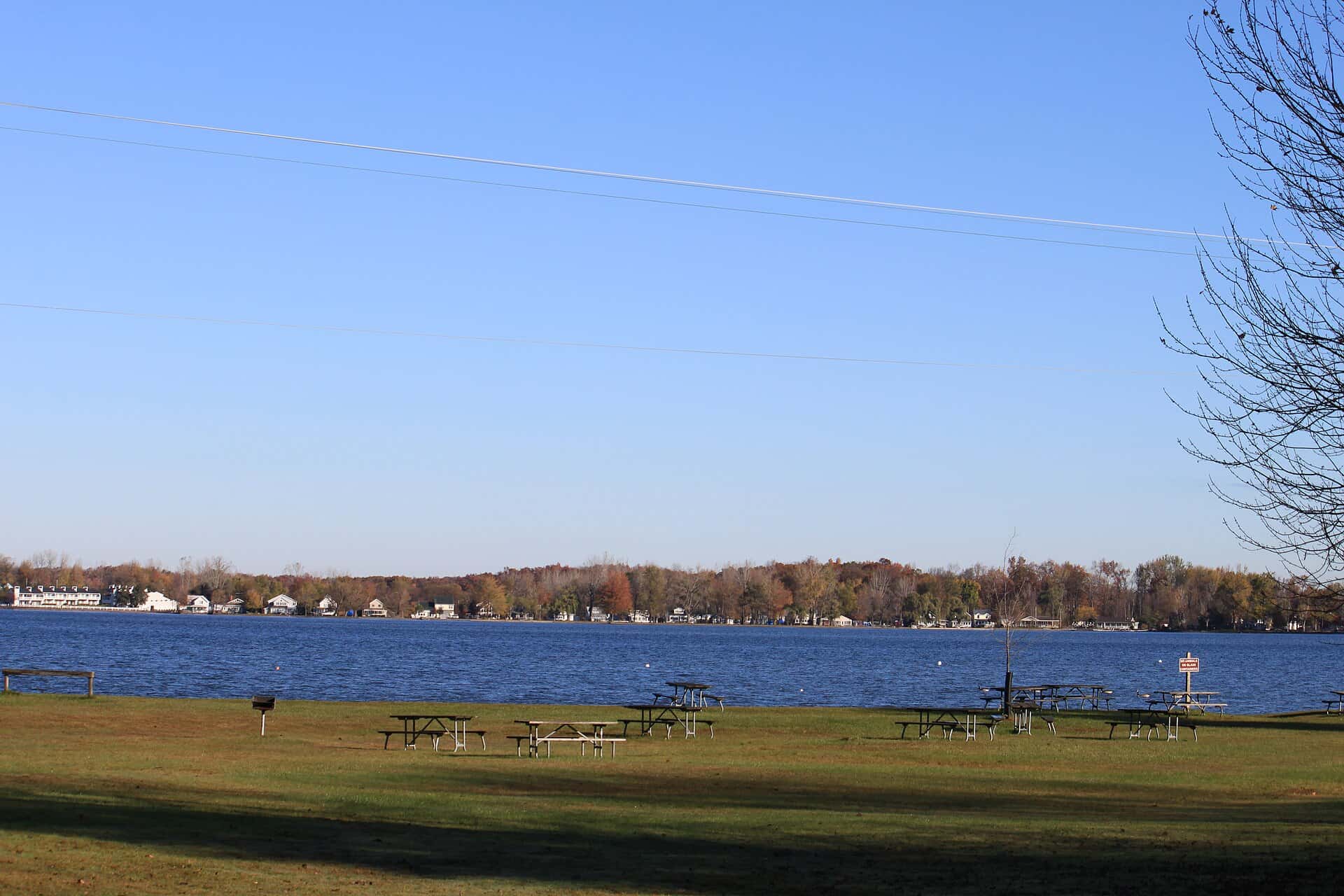
End the day on Ford Lake.
Ford Lake is a 51-minute drive from downtown Jackson. Launch at Ford Lake, the public ramp on Ford Lake closest to downtown (≈ 42.5 mi). Public access on Ford Lake: 2 boat ramps. Surveyed depths reach 30 ft. Recorded here: Channel Catfish, Bluegill, Walleye, and Northern Pike.
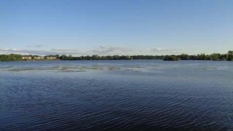
When the fish bite here
Northern Pike and Yellow Perch bite well.
 FreshwaterSlow
Bluegill
Lepomis macrochirus
Centrarchidae
12 in4 lb6 yr797 watersGame fish FreshwaterSlow
Common Carp
Cyprinus carpio
Cyprinidae
48 in80 lb20 yr449 waters FreshwaterSlow
Walleye
Sander vitreus
Percidae
30 in18 lb10 yr758 watersGame fish FreshwaterGood
Northern Pike
Esox lucius
Esocidae
60 in50 lb10 yr657 watersGame fish FreshwaterSlow
Redear
Lepomis microlophus
Centrarchidae
12 in2 lb6 yr156 watersGame fish FreshwaterGood
Yellow Perch
Perca flavescens
Percidae
15 in3 lb7 yr703 watersGame fish