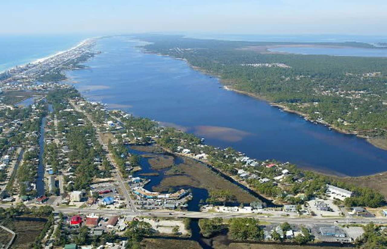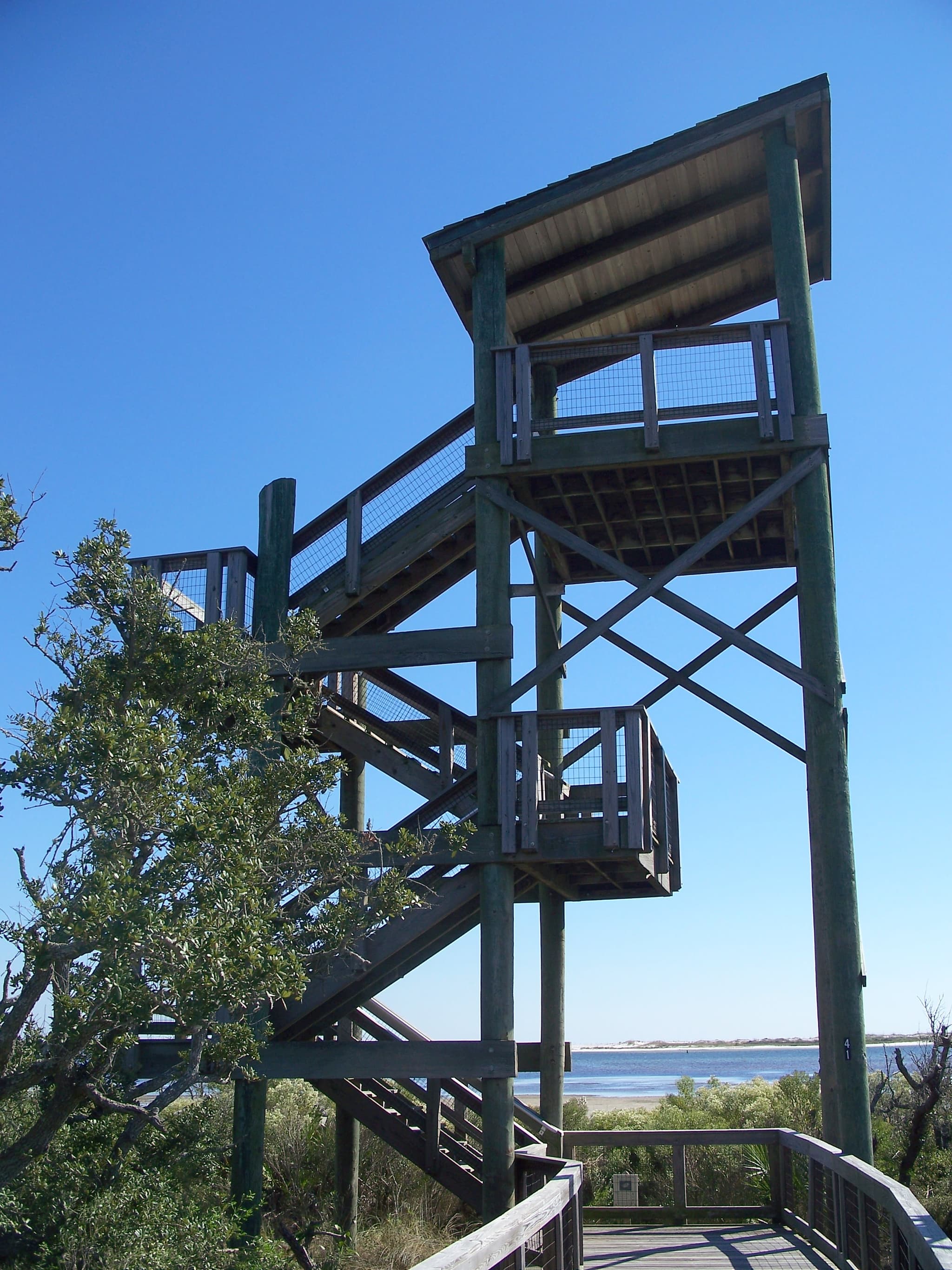
9 piers and shore spots on public waters near Mobile — no boat needed.
Distances are straight-line from downtown Mobile; below are the 9 closest, grouped by water.
Big Lagoon
Recorded in Big Lagoon: Common Snook, Spotted Seatrout, Red Drum, and Tarpon.
Surveyed depths in Big Lagoon reach 42 ft.
- 1NAS Pensacola - Shermans Cove: pier on Big Lagoon, ≈ 49.6 mi from downtown.
Bayou Grande
Recorded in Bayou Grande: Common Snook, Spotted Seatrout, Red Drum, and Tarpon.
Surveyed depths in Bayou Grande reach 17 ft.
- 2NAS Pensacola - Ski Beach: pier on Bayou Grande, ≈ 50 mi from downtown.
- 3Civitan Park: pier on Bayou Grande, ≈ 50.5 mi from downtown.
Pensacola Bay
Recorded in Pensacola Bay: Common Snook, Spotted Seatrout, Red Drum, and Tarpon.
Surveyed depths in Pensacola Bay reach 75 ft.
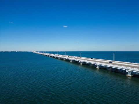
- 4Gulf Islands National Seashore - Fort Pickens Fishing Pier: pier on Pensacola Bay, ≈ 51.2 mi from downtown.
- 6Sanders Beach - Corinne Jones Community Center: pier on Pensacola Bay, ≈ 52.1 mi from downtown.
- 7Vince J. Whibbs Sr. Community Maritime Park: pier on Pensacola Bay, ≈ 52.9 mi from downtown.
Escambia Bay
Recorded in Escambia Bay: Red Drum, Common Snook, Spotted Seatrout, and Tarpon.
Surveyed depths in Escambia Bay reach 31 ft.
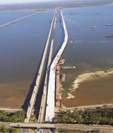
- 5Simpson River Fishing Pier: pier on Escambia Bay, ≈ 51.8 mi from downtown.
- 8Floridatown Park: pier on Escambia Bay, ≈ 53 mi from downtown.
Santa Rosa Sound
Recorded in Santa Rosa Sound: Common Snook, Spotted Seatrout, Red Drum, and Tarpon.
Surveyed depths in Santa Rosa Sound reach 33 ft.
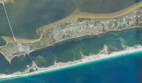
- 9Pensacola Bay Bridge Wayside Park: pier on Santa Rosa Sound, ≈ 56.1 mi from downtown.
When the fish bite here
By our bite calendar, November is a slow month around Mobile for the fish recorded at these stops — the bars on each card show when each one picks up.
 SaltwaterSlow
Sheepshead
Archosargus probatocephalus
Sparidae
36 in20 lb9 yr63 watersGame fish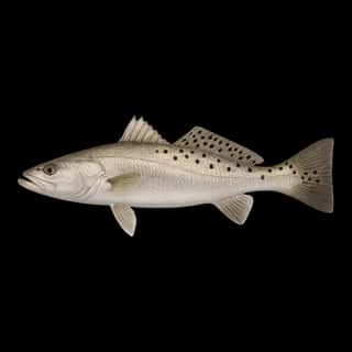 SaltwaterSlow
Spotted Seatrout
Cynoscion nebulosus
Sciaenidae
30 in10 lb5 yr58 watersGame fish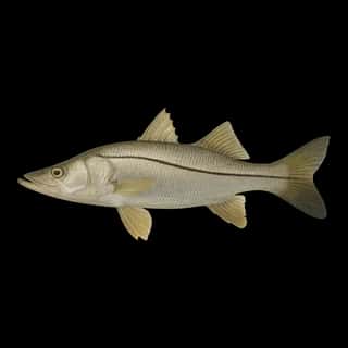 Brackish
Common Snook
Centropomus undecimalis
Centropomidae
48 in50 lb15 yr57 watersGame fish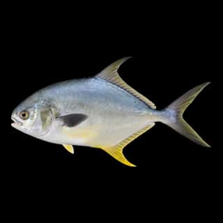 Saltwater
Florida Pompano
Trachinotus carolinus
Carangidae
24 in6 lb4 yr59 watersGame fish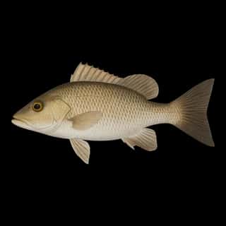 Saltwater
Gray Snapper
Lutjanus griseus
Lutjanidae
36 in20 lb10 yr55 watersGame fish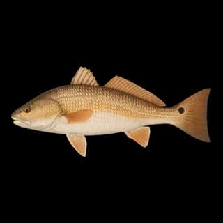 Saltwater
Red Drum
Sciaenops ocellatus
Sciaenidae
50 in90 lb60 yr57 watersGame fish