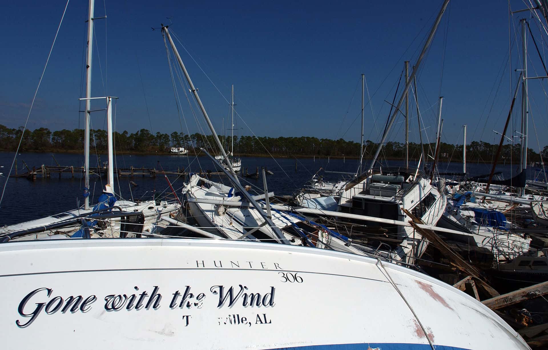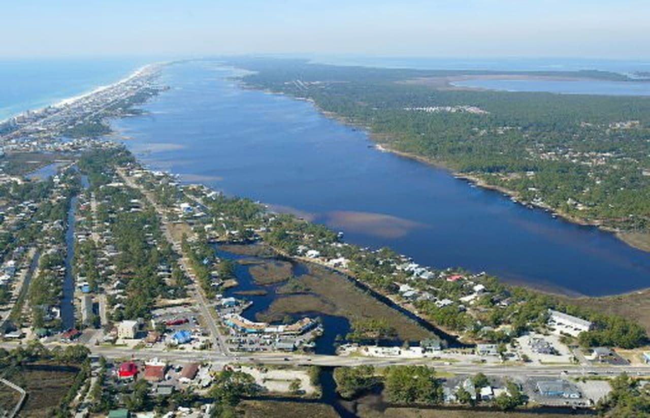
49 public boat ramps on published waters near Mobile.
Distances are straight-line from downtown Mobile; below are the 12 closest, grouped by water.
Little Lagoon
Recorded in Little Lagoon: White Mullet, Inland Silverside, and American Eel.
Surveyed depths in Little Lagoon reach 10 ft.
- 1Mo's Landing Park: boat ramp on Little Lagoon, ≈ 35.9 mi from downtown.
Perdido Bay
Recorded in Perdido Bay: Common Snook, Spotted Seatrout, Red Drum, and Tarpon.
Surveyed depths in Perdido Bay reach 18 ft.
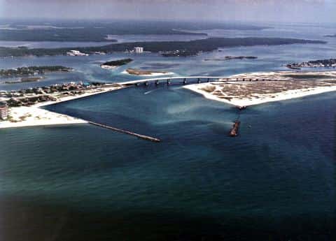
- 2Yupon Street Water Access: boat ramp on Perdido Bay, ≈ 40 mi from downtown.
- 4Lillian Boat Launch - Alabama: boat ramp on Perdido Bay, ≈ 41.1 mi from downtown.
- 5Coronada Boulevard Small Craft Launch (NO PARKING): boat ramp on Perdido Bay, ≈ 43.9 mi from downtown.
- 6Galvez Road Primitive Launch Site (Not Recommended): boat ramp on Perdido Bay, ≈ 44 mi from downtown.
- 7Innerarity Point Park Paddlecraft Pier: boat ramp on Perdido Bay, ≈ 44.3 mi from downtown.
- 8Galvez Landing Public Boat Ramp: boat ramp on Perdido Bay, ≈ 44.3 mi from downtown.
- 9Perdido Bay Public Boat Ramp: boat ramp on Perdido Bay, ≈ 44.4 mi from downtown.
- 10Millview/ Heron Bayou Public Boat Ramp (Small Boats): boat ramp on Perdido Bay, ≈ 44.5 mi from downtown.
- 11River Road North Park Kayak Access: boat ramp on Perdido Bay, ≈ 44.6 mi from downtown.
- 12Millview Roadside Paddlecraft Launch: boat ramp on Perdido Bay, ≈ 45.3 mi from downtown.
Terry Cove
Recorded in Terry Cove: Common Snook, Spotted Seatrout, Red Drum, and Tarpon.
Surveyed depths in Terry Cove reach 17 ft.
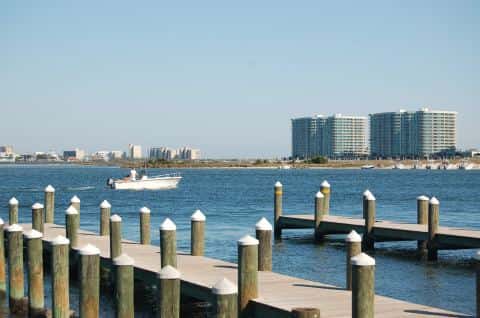
- 3Boggy Point Boat Launch - Alabama: boat ramp on Terry Cove, ≈ 40.5 mi from downtown.
When the fish bite here
By our bite calendar, November is a slow month around Mobile for the fish recorded at these stops — the bars on each card show when each one picks up.
 SaltwaterSlow
Sheepshead
Archosargus probatocephalus
Sparidae
36 in20 lb9 yr63 watersGame fish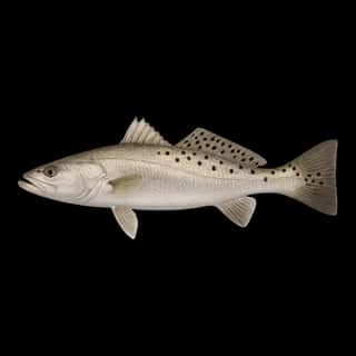 SaltwaterSlow
Spotted Seatrout
Cynoscion nebulosus
Sciaenidae
30 in10 lb5 yr58 watersGame fish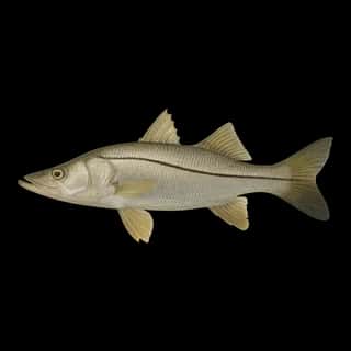 Brackish
Common Snook
Centropomus undecimalis
Centropomidae
48 in50 lb15 yr57 watersGame fish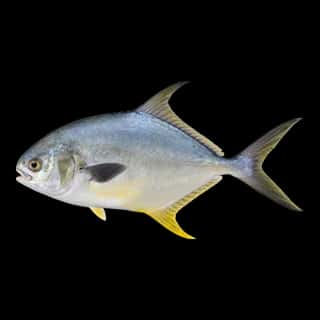 Saltwater
Florida Pompano
Trachinotus carolinus
Carangidae
24 in6 lb4 yr59 watersGame fish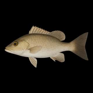 Saltwater
Gray Snapper
Lutjanus griseus
Lutjanidae
36 in20 lb10 yr55 watersGame fish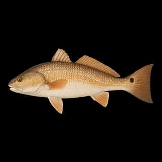 Saltwater
Red Drum
Sciaenops ocellatus
Sciaenidae
50 in90 lb60 yr57 watersGame fish