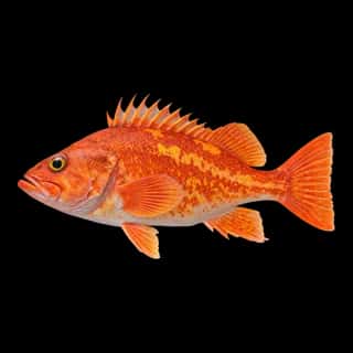
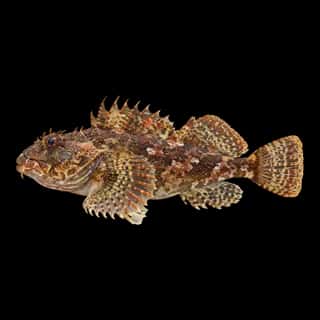
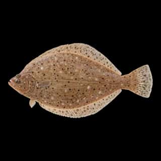
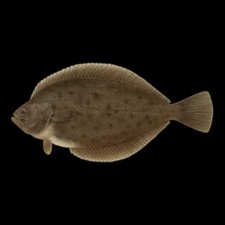
Strait of Georgia fishing: Pacific Dover Sole, Cabezon, Yelloweye Rockfish
Target species: Pacific Dover Sole, Cabezon, Yelloweye Rockfish, Sand Sole
The bay
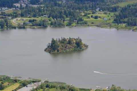
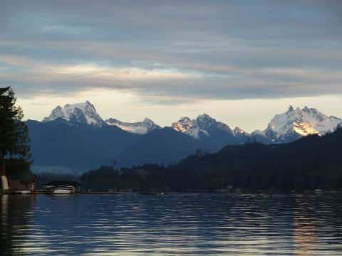
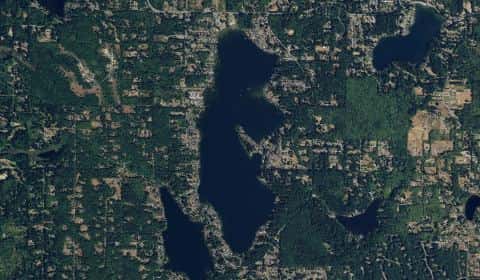
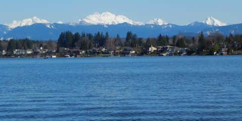
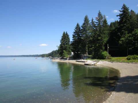
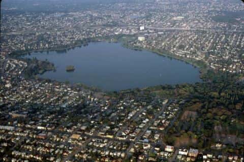
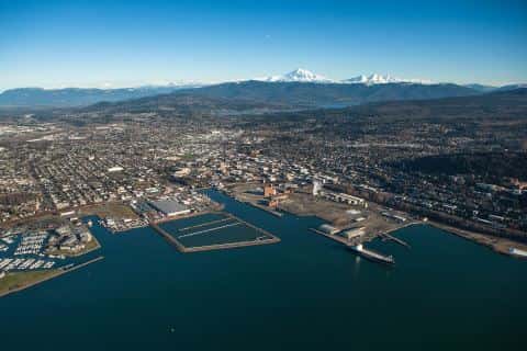
Strait of Georgia covers 151,446 acres in Washington, across 2 counties: Whatcom and San Juan. It is a bay: the deepest point measured is at least 750 feet (228.6 m). Our records hold 5 species for this water.
Depth and bottom
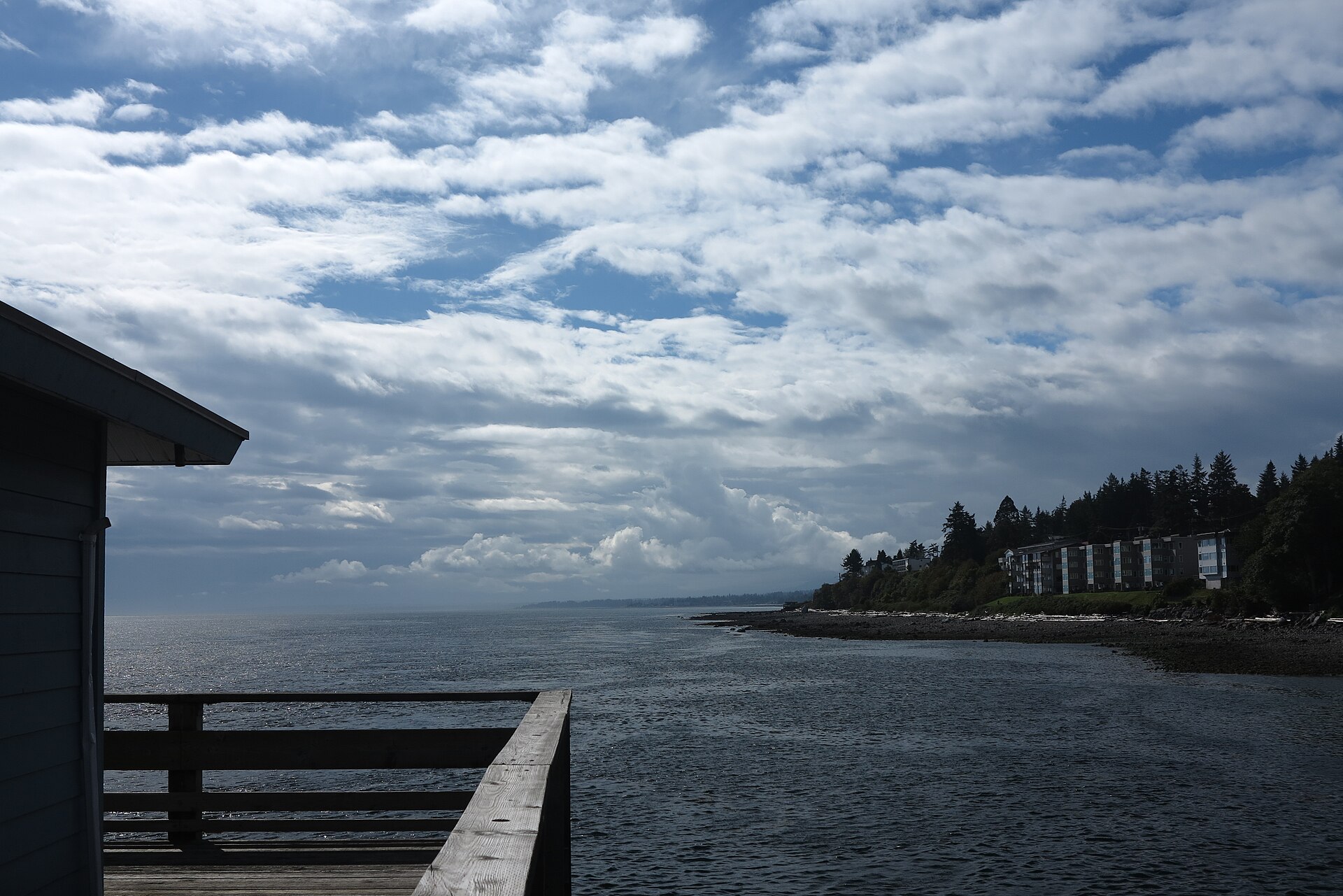
Deepest measured point: at least 750 ft (228.6 m). That is the deepest contour line: the bottom goes deeper. We hold 2 depth contours for this water, drawn from 14,107 soundings.
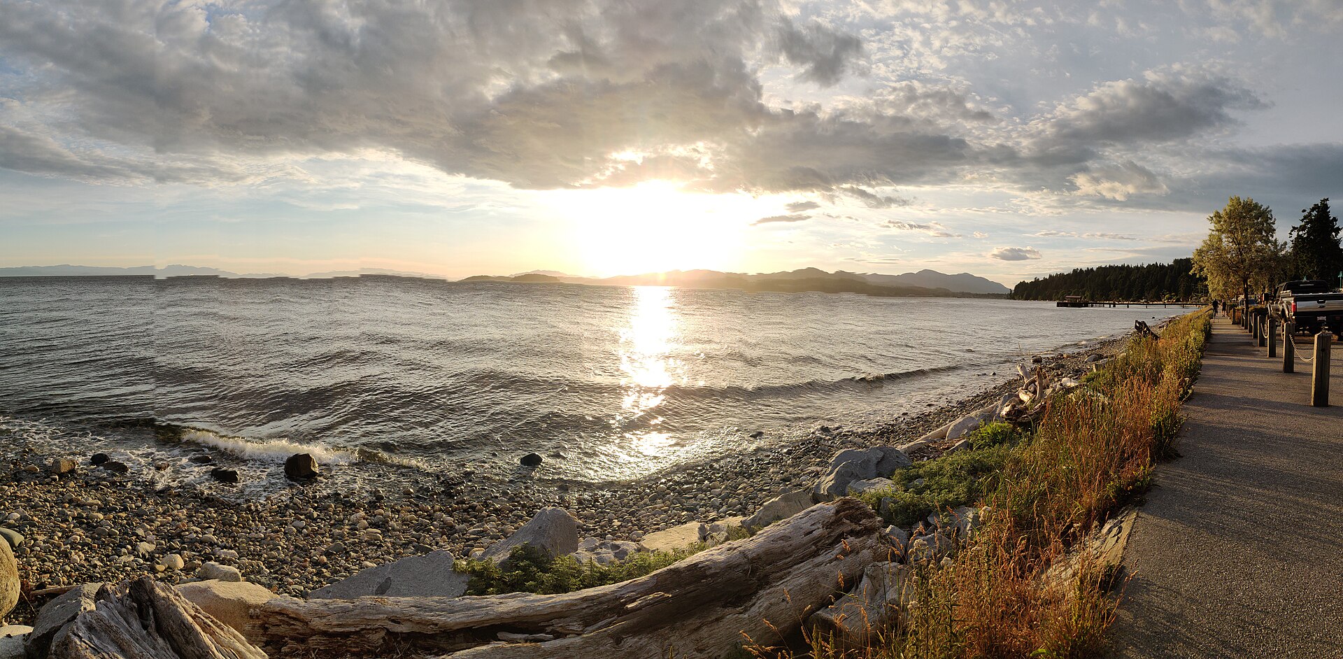
4 target fish, led by Pacific Dover Sole
- Pacific Dover Sole — Feeding water: 50–60°F.
- Cabezon — Feeding water: 55–65°F.
- Yelloweye Rockfish — Feeding water: 50–60°F.
- Sand Sole — Feeding water: 60–70°F.
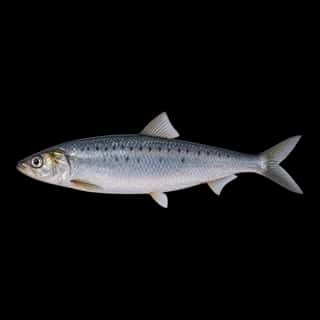
Also recorded here: Atlantic Herring.
Water and conditions
Our water temperature readings average 54°F; they do not cover the whole year, so this is not a yearly average. pH averages 8. These readings span 2024–2025.
What is hard here
Wind is the limit, not the fish: 151,446 acres of open water build a short steep chop, and there is no shelter in the middle.
Where this data comes from
- NOAA NOS Hydro — NOAA NOS hydrographic survey archive: class A, a survey of the bottom.
- NOAA ENC — NOAA Electronic Navigational Charts: soundings: class A, a survey of the bottom.
- NOAA National Bathymetric Source (S-102 ed3.0.0) — NOAA S-102 bathymetric surfaces: contours: class A, a survey of the bottom.
- NOAA ENC — NOAA Electronic Navigational Charts: depth contours: class A, a survey of the bottom.