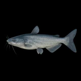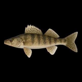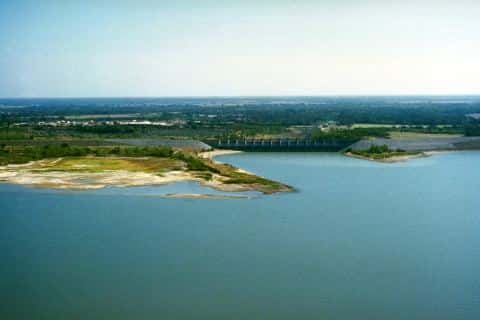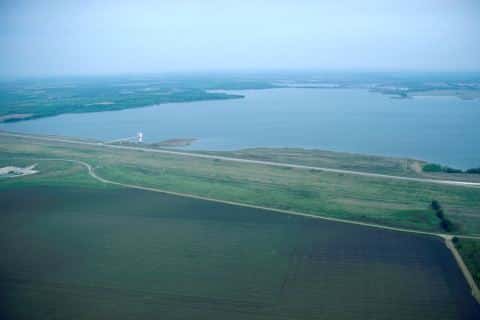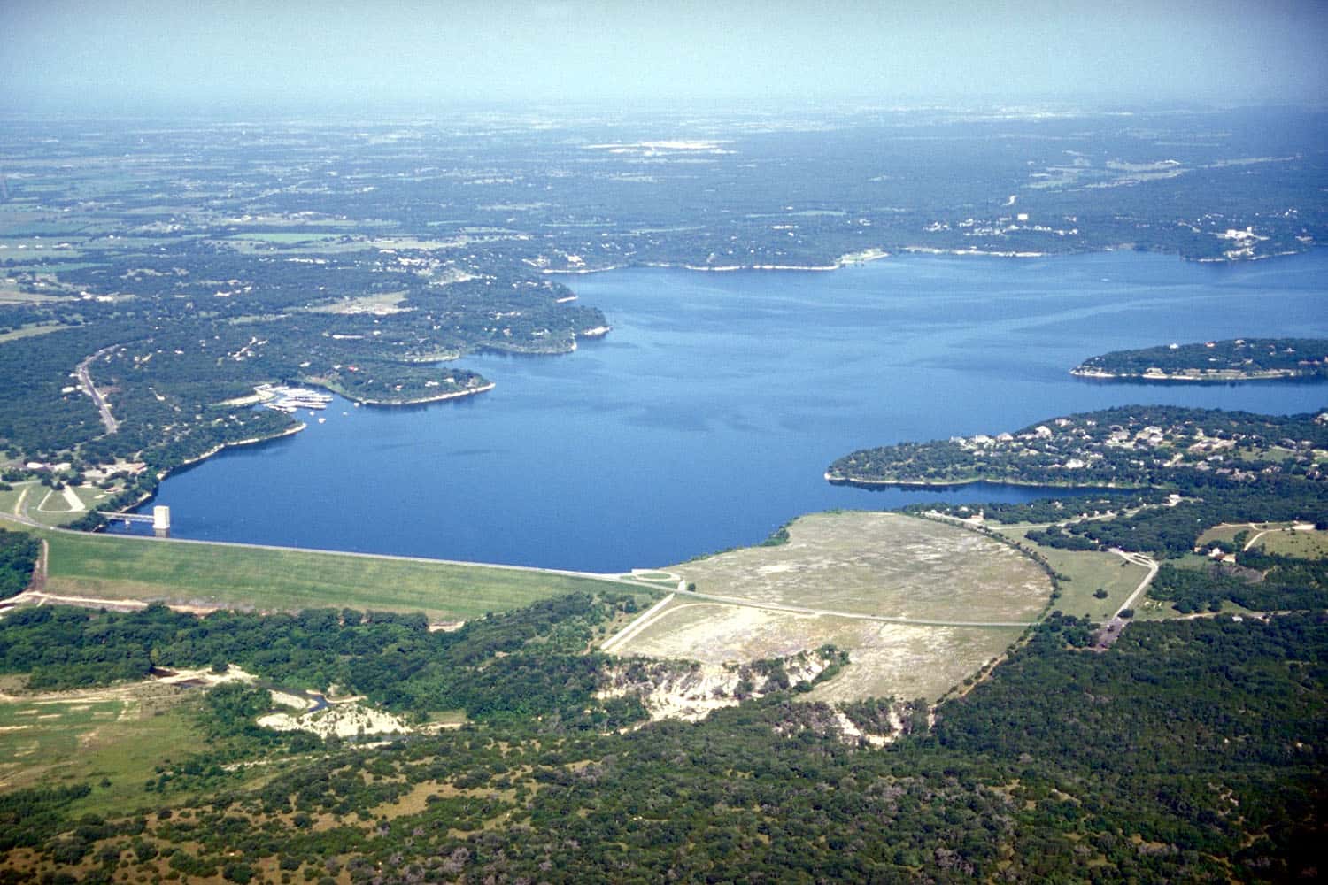
Belton Lake fishing: Largemouth Bass, Smallmouth Bass, Blue Catfish
Target species: Largemouth Bass, Smallmouth Bass, Blue Catfish, Walleye, White Bass
The reservoir
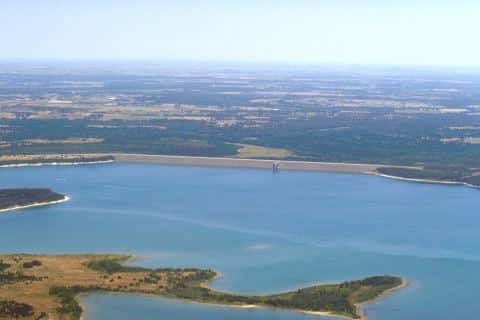
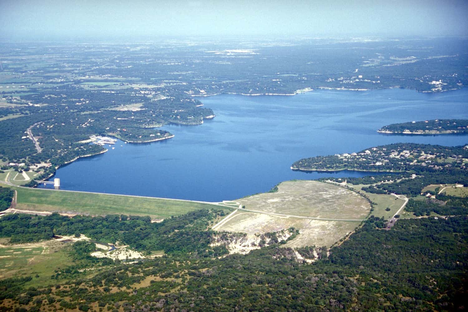
Belton Lake covers 15,216 acres in Texas, across Bell County. It is a reservoir: 95.7% of it is 80 feet deep or less; the deepest point measured is at least 109 feet (33.3 m); at the dam, USGS RESSED gives 161 feet (49.1 m) at full pool. Our records hold 7 species for this water.
Depth and bottom
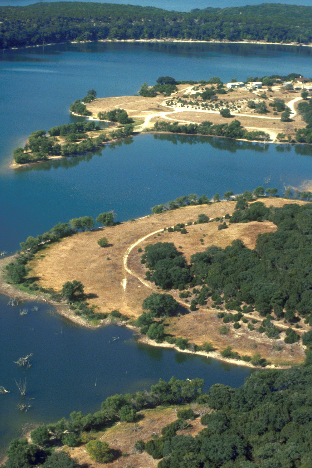
Deepest measured point: at least 109 ft (33.3 m). That is the deepest contour line: the bottom goes deeper. USGS RESSED gives 161 ft (49.1 m) at the dam at full pool: a measured figure, not a survey map. 95.7% of the water is 80 feet or shallower.
- 0–10 ft: 15.8% of the water
- 10–20 ft: 18.9% of the water
- 20–30 ft: 15.9% of the water
- 30–40 ft: 11.4% of the water
- 40–50 ft: 10.6% of the water
- 50–60 ft: 9% of the water
- 60–70 ft: 7.9% of the water
- 70–80 ft: 6.2% of the water
- 80–90 ft: 3.2% of the water
- 90–100 ft: 1.1% of the water
- 100–103 ft: 0.1% of the water
5 target fish, led by Largemouth Bass
- Largemouth Bass — Feeding water: 65–85°F.
- Smallmouth Bass — Feeding water: 60–75°F.
- Blue Catfish — Feeding water: 70–85°F.
- Walleye — Feeding water: 50–75°F.
- White Bass — Feeding water: 65–75°F.
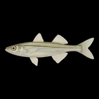
Also recorded here: Sauger, Inland Silverside.
Water and conditions
pH averages 8.1. These readings span 2024–2026.
What is hard here
Wind is the limit, not the fish: 15,216 acres of open water build a short steep chop, and there is no shelter in the middle.
Where this data comes from
- Texas Water Development Board — Texas Water Development Board: depth contours: class A, a survey of the bottom, 2015.
- USGS RESSED — USGS RESSED reservoir sedimentation database: class B, a depth figure measured and published by an agency, without a bottom map.