
Hoover Reservoir fishing: Walleye, Muskellunge, Sauger
Target species: Walleye, Muskellunge, Sauger, White Bass, Blue Catfish
Boat: 9 ramps and launches on file for this water.
Start here: Launch at Hoover Reservoir - Oxbow Road Launch Ramp, 1 lane.
The reservoir
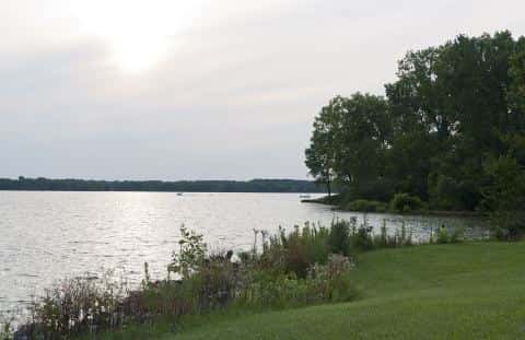
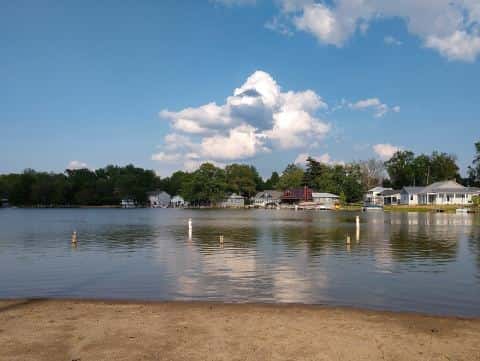
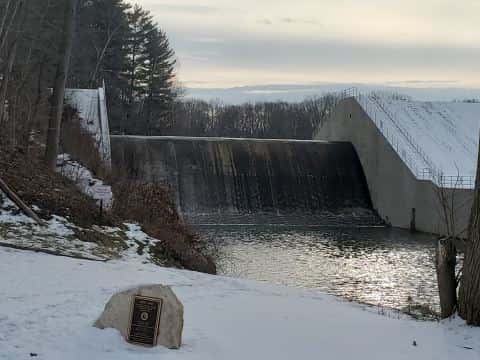
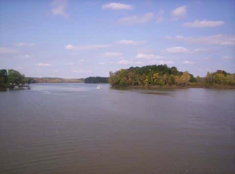
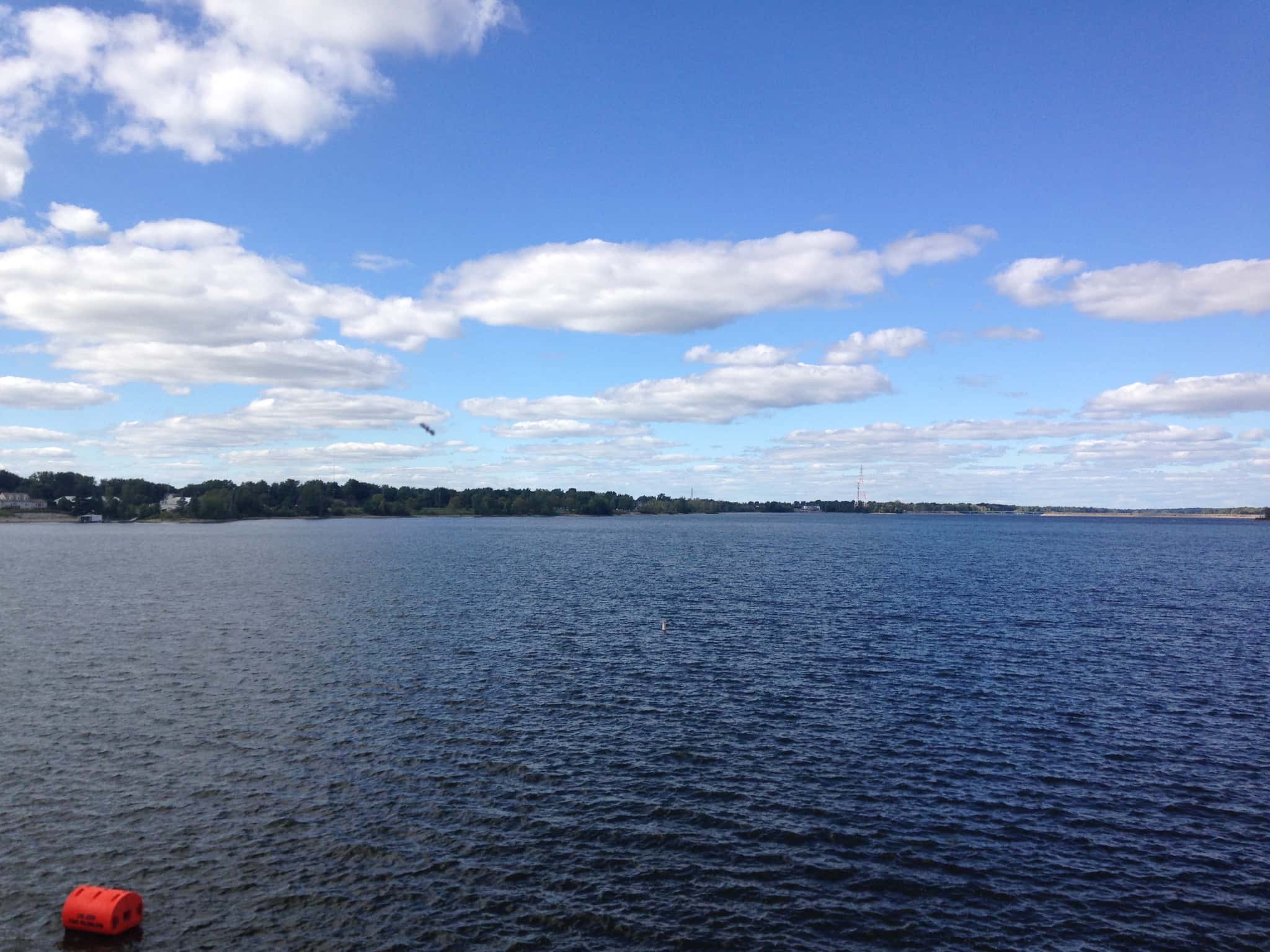
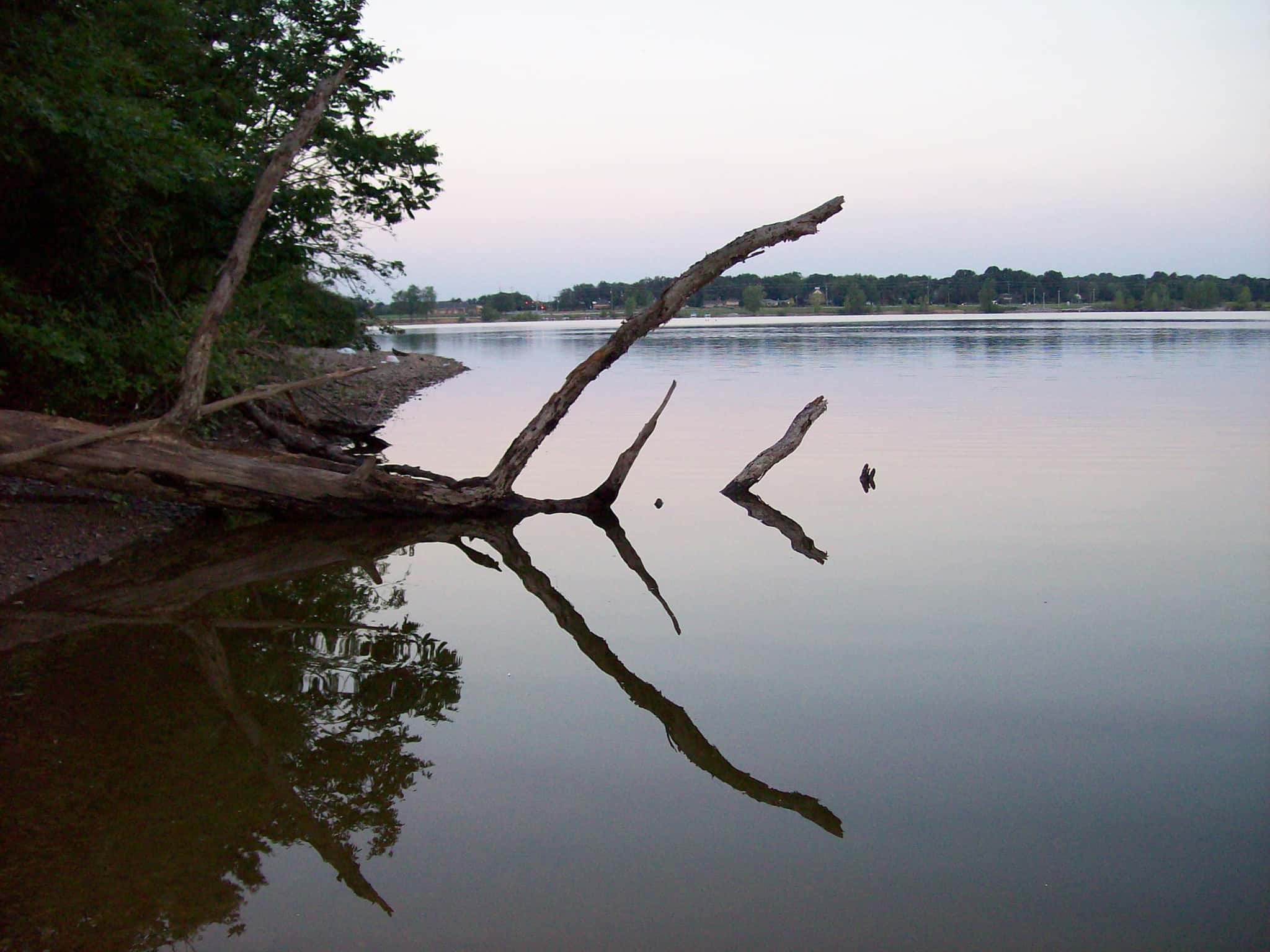
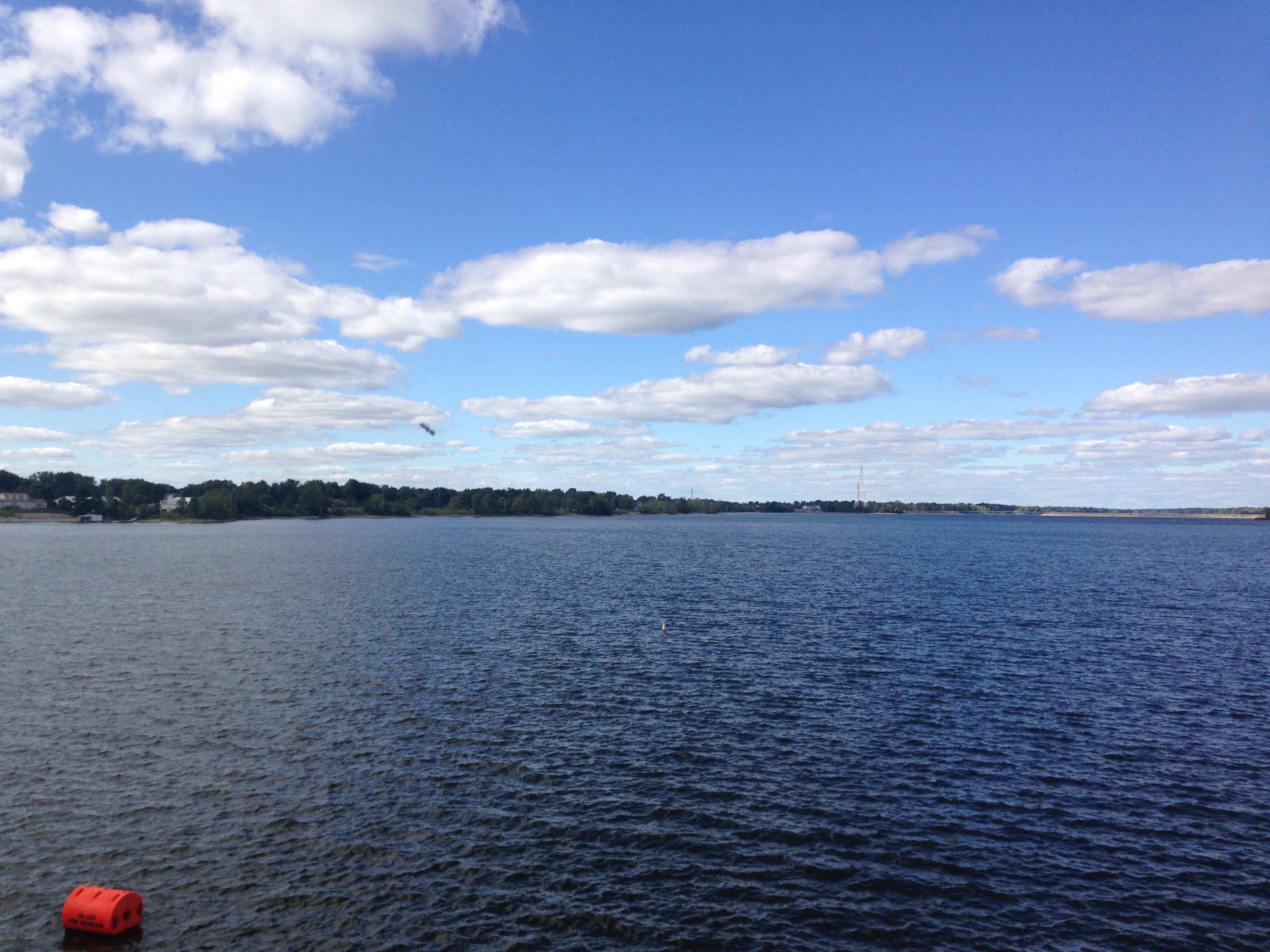
Hoover Reservoir covers 2,854 acres in Ohio, across 2 counties: Delaware and Franklin. It is a reservoir: 90.6% of it is 45 feet deep or less; the deepest point measured is 68.7 feet (20.9 m). Our records hold 8 species for this water.
Depth: down to 68.7 ft at the deepest measured point
Deepest measured point: 68.7 ft (20.9 m). 90.6% of the water is 45 feet or shallower. We hold 86 depth contours for this water, drawn from 147,894 soundings.
- 0–5 ft: 6% of the water
- 5–10 ft: 17.4% of the water
- 10–15 ft: 18.3% of the water
- 15–20 ft: 15.7% of the water
- 20–25 ft: 11.6% of the water
- 25–30 ft: 6.2% of the water
- 30–35 ft: 6.1% of the water
- 35–40 ft: 4.7% of the water
- 40–45 ft: 4.6% of the water
- 45–50 ft: 3.6% of the water
- 50–55 ft: 2.7% of the water
- 55–60 ft: 2.4% of the water
- 60–65 ft: 0.7% of the water
5 target fish, led by Walleye
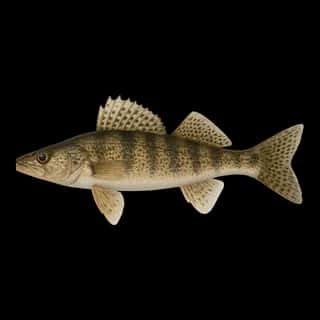
- Walleye — Feeding water: 50–75°F.
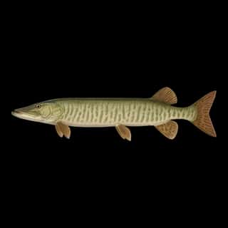
- Muskellunge — Feeding water: 65–75°F.
- Sauger — Feeding water: 45–65°F.
- White Bass — Feeding water: 65–75°F.
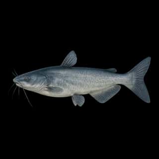
- Blue Catfish — Feeding water: 70–85°F.
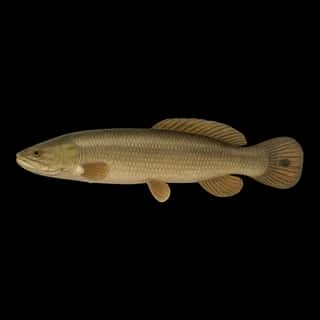
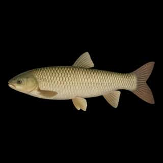
Also recorded here: Bowfin, Grass Carp, Common Carp.
Water and conditions
Our water temperature readings average 69°F; they do not cover the whole year, so this is not a yearly average. pH averages 8.2. These readings span 2023–2024.
Stocking: 36,535,150 fish, 1993–2022
Ohio DNR Division of Wildlife records list 36,535,150 fish released into this water from 1993 to 2022. The latest stocking on record is from 2022, more than three years ago.
- Walleye: 12,748,830 in 1970–2021
- Blue Catfish: 341,836 in 2011–2020
- Muskellunge: 19 in 1972
One more species on the stocking list.
9 ramps and launches on this water
On this water we hold 1 trailer ramp and 8 boat ramps.
- Hoover Reservoir - Oxbow Road Launch Ramp — 1 lane. Galena. 8401 Oxbow Road, Galena 43021- · phone (614) 645-1721 · website utilities.columbus.gov
- Boat Stake Area A — Westerville. 7714 Sunbury Road, Westerville 43081- · phone (614) 645-3337 · website utilities.columbus.gov
- Boat Stake Area C — Westerville. 3827 Smothers Rd / Co Line Rd, Westerville 43081- · phone (614) 645-3337 · website utilities.columbus.gov
- Hoover Marina — Columbus. 7370 Sunbury Road, Columbus 43081- · phone (614) 645-3337 · website utilities.columbus.gov
- Hoover Reservoir - Baldridge Boat Ramp — Galena. 4995 Sunbury Road, Galena 43021- · phone (614) 645-1721 · website utilities.columbus.gov
- Hoover Reservoir - Boat Stake Area D — Westerville. 7995 Sunbury Road, Westerville 43081- · phone (614) 645-3337 · website utilities.columbus.gov
- Hoover Reservoir - Maxtown — Westerville. 6991 Sunbury Road, Westerville 43081- · phone (614) 645-3337 · website utilities.columbus.gov
- Hoover Reservoir - Twin Bridges Launch — Galena. 4748 Redbank Road, Galena 43021- · phone (614) 645-1721 · website utilities.columbus.gov
- Walnut Street Launch Ramp — Westerville. 7940 Sunbury Road, Westerville 43081- · phone (614) 645-3337 · website utilities.columbus.gov
Fee and opening hours are blank for all 9 places in this list: a blank means we hold no such field, not that it is free or always open, and this list may not be complete.
What is hard here
Only 9 public ramps are on file, so the launch decides where you fish.
Where this data comes from
- Ohio DNR — Ohio DNR: depth contours: class A, a survey of the bottom.
- Webster, K.E., McCullough, I.M., Soranno, P.A. LAGOS-US DEPTH v1.0, EDI, doi:10.6073/pasta/64ddc4d04661d9aef4bd702dc5d8984f (CC BY 4.0); Cheruvelil et al. LAGOS-US LOCUS v1.0 (EDI) — LAGOS-US DEPTH v1.0: Lake depth for 17,675 lakes in the conterminous U.S.: class B, a depth figure measured and published by an agency, without a bottom map.