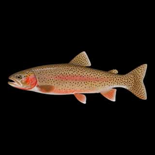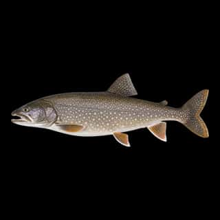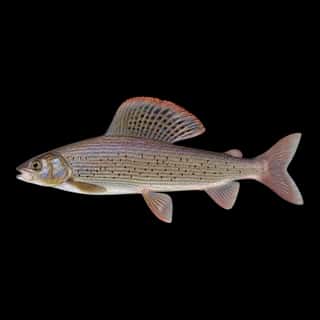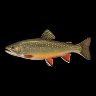
McGregor Lake fishing: Rainbow Trout, Cutthroat Trout, Brook Trout
Target species: Rainbow Trout, Cutthroat Trout, Brook Trout, Lake Trout, Arctic Grayling
Boat: 1 ramp or launch on file for this water.
Start here: Launch at Mc Gregor Lake Boating Site.
The lake
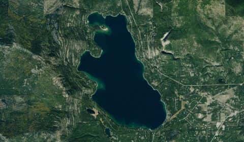
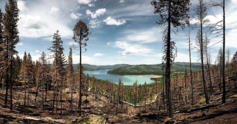
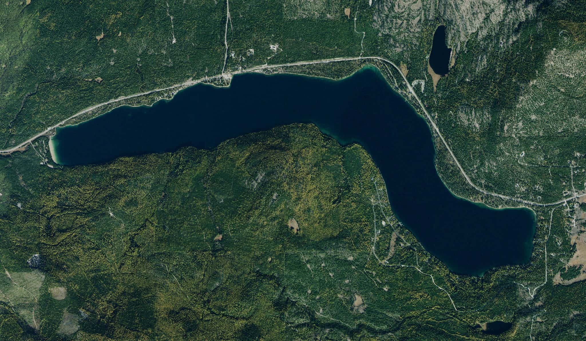
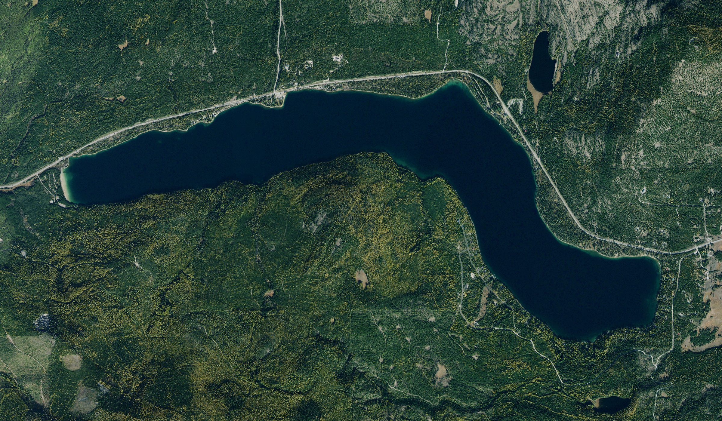
McGregor Lake covers 1,532 acres in Montana, across Flathead County. It is a lake: 93.3% of it is 200 feet deep or less; the deepest point measured is at least 220 feet (67.1 m). Our records hold 6 species for this water.
Depth and bottom
Deepest measured point: at least 220 ft (67.1 m). That is the deepest contour line: the bottom goes deeper. 93.3% of the water is 200 feet or shallower. We hold 30 depth contour lines for this water.
- 0–20 ft: 13.5% of the water
- 20–40 ft: 10% of the water
- 40–60 ft: 9% of the water
- 60–80 ft: 8.9% of the water
- 80–100 ft: 9% of the water
- 100–120 ft: 8.8% of the water
- 120–140 ft: 9.8% of the water
- 140–160 ft: 8.3% of the water
- 160–180 ft: 7.7% of the water
- 180–200 ft: 8.3% of the water
- 200–220 ft: 6.8% of the water
5 target fish, led by Rainbow Trout
- Rainbow Trout — Feeding water: 50–65°F.
- Cutthroat Trout — Feeding water: 50–65°F.
- Brook Trout — Feeding water: 50–65°F.
- Lake Trout — Feeding water: 50–65°F.
- Arctic Grayling — Feeding water: 50–65°F.
Also recorded here: Yellow Perch.
Stocking: 13,655,448 fish, 1997–2026
Montana Fish, Wildlife & Parks records list 13,655,448 fish released into this water from 1997 to 2026.
- Rainbow Trout: 3,508,718 in 2007–2026
- Cutthroat Trout: 2,143,270 in 1926–1969
- Arctic Grayling: 2,112,200 in 1926–1957
- Lake Trout: 125,136 in 1942–1953
- Brook Trout: 4,000 in 1947
4 more species on the stocking list.
1 ramp or launch on this water
On this water we hold 1 boat ramp.
- Mc Gregor Lake Boating Site — US Forest Service. website fs.usda.gov/recarea/kootenai/recarea/?recid=66105
The place listed has no fee or opening hours on file: a blank means we hold no such field, not that it is free or always open, and this list may not be complete.
What is hard here
Only 1 public ramp is on file, so the launch decides where you fish.
Where this data comes from
- Montana Fish, Wildlife & Parks — Montana Fish, Wildlife & Parks: depth contours: class A, a survey of the bottom.