10 freshwater spots within 75 minutes of Faribault, each with a full TripsQuick page.
The closest by road is Wells Lake, 7 minutes away.
Reservoirs near Faribault
1. Wells Lake
Wells Lake is a 7-minute drive from downtown Faribault. Launch at Cannon Lake Public Water Access Site, the public ramp on Wells Lake closest to downtown (≈ 4.2 mi). Public access on Wells Lake: 1 boat ramp. Surveyed depths reach 15 ft. Recorded here: Common Carp, Largemouth Bass, Bigmouth Buffalo, and Black Bullhead.
2. Elysian Lake
Elysian Lake is a 26-minute drive from downtown Faribault. Launch at Elysian Lake (N) Public Water Access Site, the public ramp on Elysian Lake closest to downtown (≈ 20.4 mi). Public access on Elysian Lake: 2 boat ramps. Surveyed depths reach 10 ft. Recorded here: Common Carp, Bigmouth Buffalo, Black Bullhead, and Black Crappie.
3. Lake Byllesby
Lake Byllesby is a 36-minute drive from downtown Faribault. Launch at Cannon River, Lake Byllesby (W) Public Water Access Site, the public ramp on Lake Byllesby closest to downtown (≈ 20.6 mi). Public access on Lake Byllesby: 3 boat ramps. Surveyed depths reach 50 ft. Recorded here: Common Carp, Freshwater Drum, Smallmouth Bass, and White Bass.
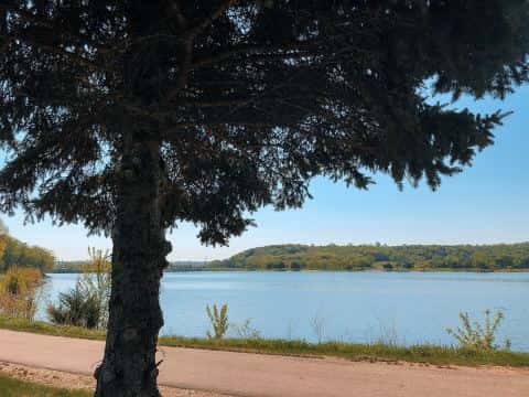
Lakes near Faribault
4. Sakatah Lake
Sakatah Lake is a 19-minute drive from downtown Faribault. Launch at Upper Sakatah Lake Public Water Access Site, the public ramp on Sakatah Lake closest to downtown (≈ 13.3 mi). Public access on Sakatah Lake: 2 boat ramps. Surveyed depths reach 10 ft. Recorded here: Common Carp, Bigmouth Buffalo, Black Bullhead, and Black Crappie.
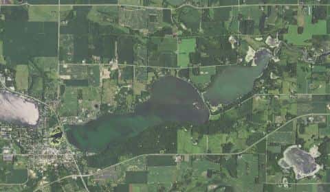
5. Cedar Lake
Cedar Lake is a 16-minute drive from downtown Faribault. Launch at Cedar Lake Public Water Access Site, the public ramp on Cedar Lake closest to downtown (≈ 7.5 mi). Public access on Cedar Lake: 1 boat ramp. Surveyed depths reach 40 ft. Recorded here: Common Carp, Bigmouth Buffalo, Black Bullhead, and Black Crappie.
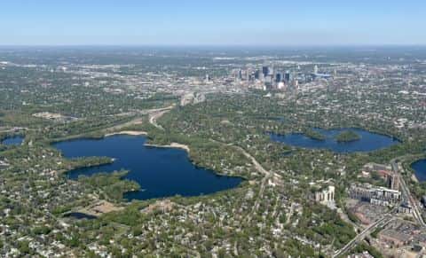
6. Fox Lake
Fox Lake is a 15-minute drive from downtown Faribault. Launch at Fox Lake Public Water Access Site, the public ramp on Fox Lake closest to downtown (≈ 7 mi). Public access on Fox Lake: 1 boat ramp. Surveyed depths reach 40 ft. Recorded here: Common Carp, Bigmouth Buffalo, Black Bullhead, and Black Crappie.
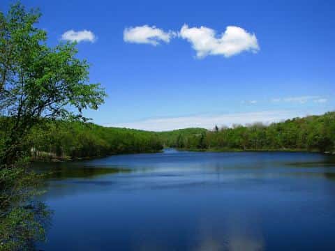
7. Lake Francis
Lake Francis is a 29-minute drive from downtown Faribault. Launch at Frances Lake (E) Public Water Access Site, the public ramp on Lake Francis closest to downtown (≈ 21.1 mi). Public access on Lake Francis: 2 boat ramps. Surveyed depths reach 60 ft. Recorded here: Common Carp, Black Bullhead, Black Crappie, and Bluegill.
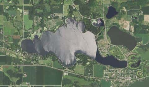
8. Horseshoe Lake
Horseshoe Lake is a 24-minute drive from downtown Faribault. Launch at Horseshoe Lake Public Water Access Site, the public ramp on Horseshoe Lake closest to downtown (≈ 12.8 mi). Public access on Horseshoe Lake: 1 boat ramp. Surveyed depths reach 25 ft. Recorded here: Common Carp, Bigmouth Buffalo, Black Bullhead, and Black Crappie.
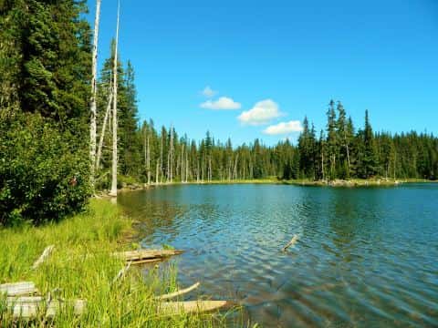
9. German Lake
German Lake is a 35-minute drive from downtown Faribault. Launch at German Lake (N) Public Water Access Site, the public ramp on German Lake closest to downtown (≈ 22.4 mi). Public access on German Lake: 2 boat ramps. Surveyed depths reach 50 ft. Recorded here: Common Carp, Bigmouth Buffalo, Black Bullhead, and Black Crappie.
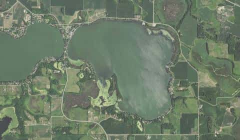
10. Madison Lake
Madison Lake is a 38-minute drive from downtown Faribault. Launch at Madison Lake, Bray Park Public Water Access Site, the public ramp on Madison Lake closest to downtown (≈ 27.1 mi). Public access on Madison Lake: 3 boat ramps. Surveyed depths reach 50 ft. Recorded here: Common Carp, Bigmouth Buffalo, Black Bullhead, and Black Crappie.
When the fish bite here
By our bite calendar, November is a slow month around Faribault for the fish recorded at these stops — the bars on each card show when each one picks up.
 FreshwaterSlow
Bluegill
Lepomis macrochirus
Centrarchidae
12 in4 lb6 yr797 watersGame fish FreshwaterSlow
Common Carp
Cyprinus carpio
Cyprinidae
48 in80 lb20 yr449 waters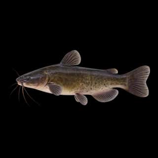 FreshwaterSlow
Black Bullhead
Ameiurus melas
Ictaluridae
24 in8 lb8 yr375 watersGame fish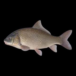 Freshwater
Bigmouth Buffalo
Ictiobus cyprinellus
Catostomidae
36 in60 lb20 yr97 watersGame fish Freshwater
Black Crappie
Pomoxis nigromaculatus
Centrarchidae
18 in5 lb6 yr700 watersGame fish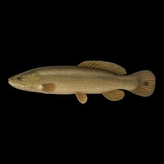 FreshwaterSlow
Bowfin
Amia calva
Amiidae
40 in20 lb12 yr358 watersGame fish