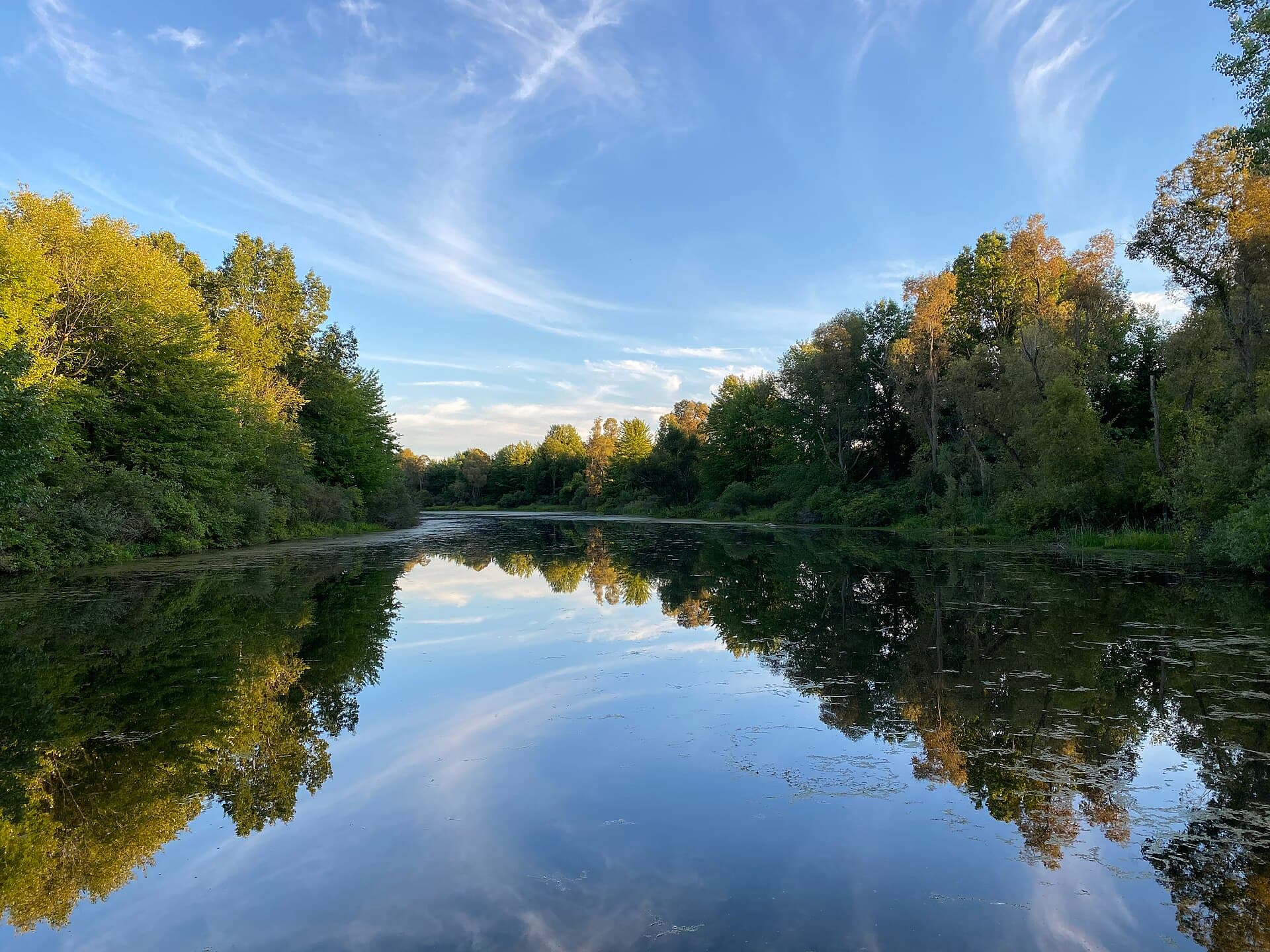
Two days, 4 stops on 4 public waters, all within 75 minutes of Lansing. Each stop below has its drive time, its access point and the fish recorded there.
Day 1
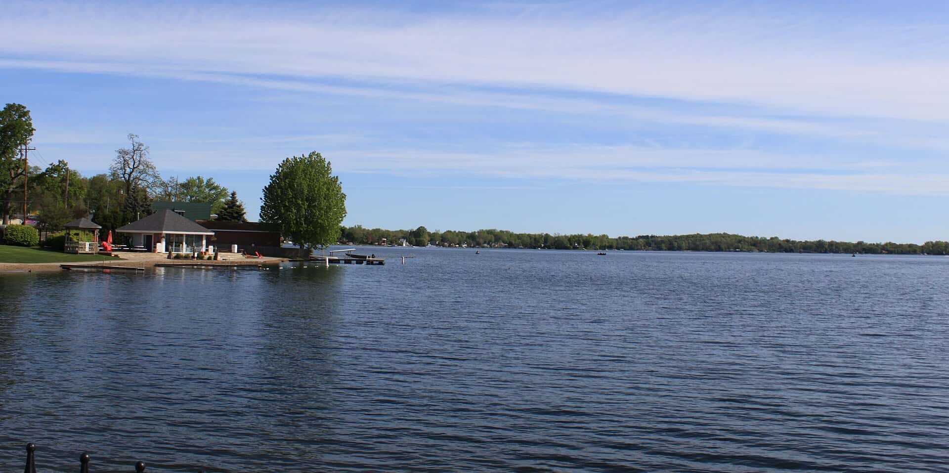
Morning: Lake Ovid
Start the day on Lake Ovid, launching from the ramp below.
Lake Ovid is a 24-minute drive from downtown Lansing. Launch at Sleepy Hollow State Park, the public ramp on Lake Ovid closest to downtown (≈ 15.4 mi). Public access on Lake Ovid: 1 boat ramp. Surveyed depths reach 10 ft. Recorded here: Channel Catfish, Muskellunge, Redear, and Largemouth Bass.
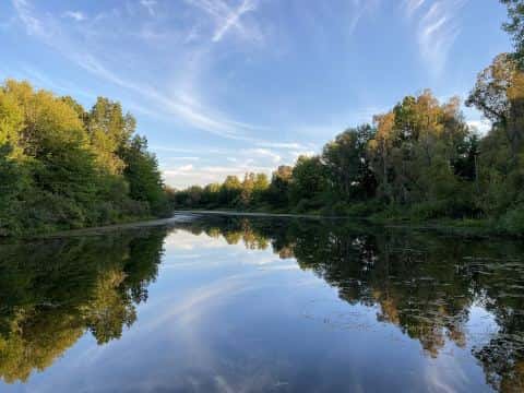
From Sleepy Hollow State Park to Whitmore Lake: 79 min by road (64 mi).
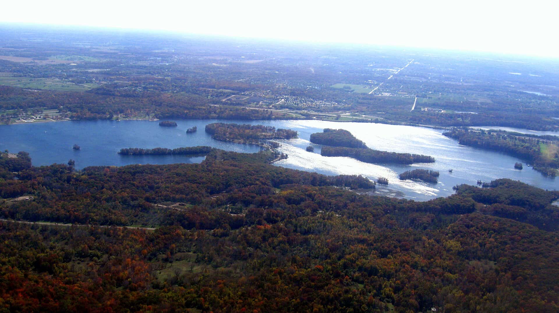
Evening: Whitmore Lake
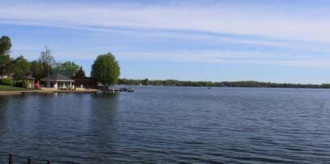
End the day on Whitmore Lake.
Whitmore Lake is a 57-minute drive from downtown Lansing. Launch at Whitmore Lake, the public ramp on Whitmore Lake closest to downtown (≈ 45.6 mi). Public access on Whitmore Lake: 1 boat ramp. Surveyed depths reach 69 ft. Recorded here: Redear, Walleye, Northern Pike, and Common Carp.
Day 2
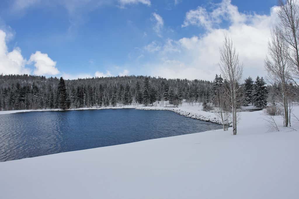
Morning: Kent Lake
Start the day on Kent Lake, launching from the ramp below.
Kent Lake is a 53-minute drive from downtown Lansing. Launch at Kent Lake Dam Portage, the public ramp on Kent Lake closest to downtown (≈ 47.2 mi). Public access on Kent Lake: 1 boat ramp. Surveyed depths reach 38 ft. Recorded here: Northern Pike, Walleye, Bluegill, and Redear.
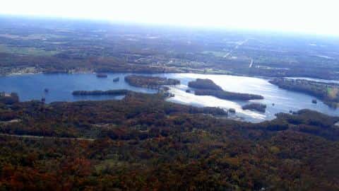
From Kent Lake Dam Portage to White Lake: 25 min by road (16.2 mi).
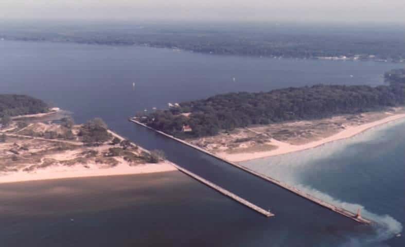
Evening: White Lake
End the day on White Lake.
White Lake is a 62-minute drive from downtown Lansing. Launch at White Lake, the public ramp on White Lake closest to downtown (≈ 50 mi). Public access on White Lake: 1 boat ramp. Surveyed depths reach 32 ft. Recorded here: Walleye, Black Bullhead, Black Crappie, and Bluegill.
When the fish bite here
Northern Pike bites well.
 FreshwaterGood
Northern Pike
Esox lucius
Esocidae
60 in50 lb10 yr657 watersGame fish FreshwaterSlow
Bluegill
Lepomis macrochirus
Centrarchidae
12 in4 lb6 yr797 watersGame fish FreshwaterSlow
Largemouth Bass
Micropterus salmoides
Centrarchidae
30 in22 lb16 yr935 watersGame fish FreshwaterSlow
Redear
Lepomis microlophus
Centrarchidae
12 in2 lb6 yr156 watersGame fish FreshwaterSlow
Walleye
Sander vitreus
Percidae
30 in18 lb10 yr758 watersGame fish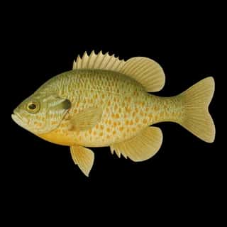 FreshwaterSlow
Pumpkinseed
Lepomis gibbosus
Centrarchidae
10 in1 lb6 yr563 watersGame fish