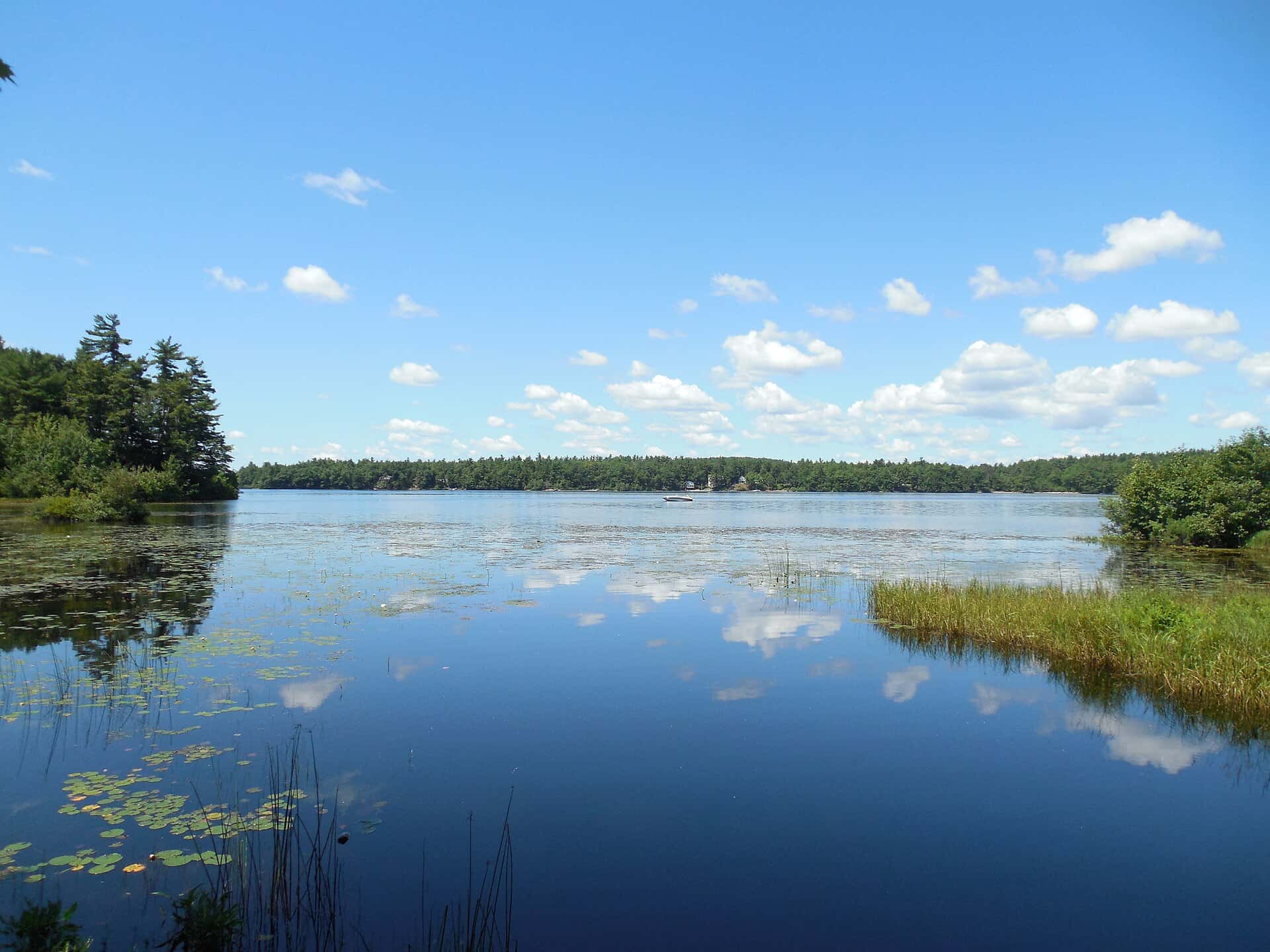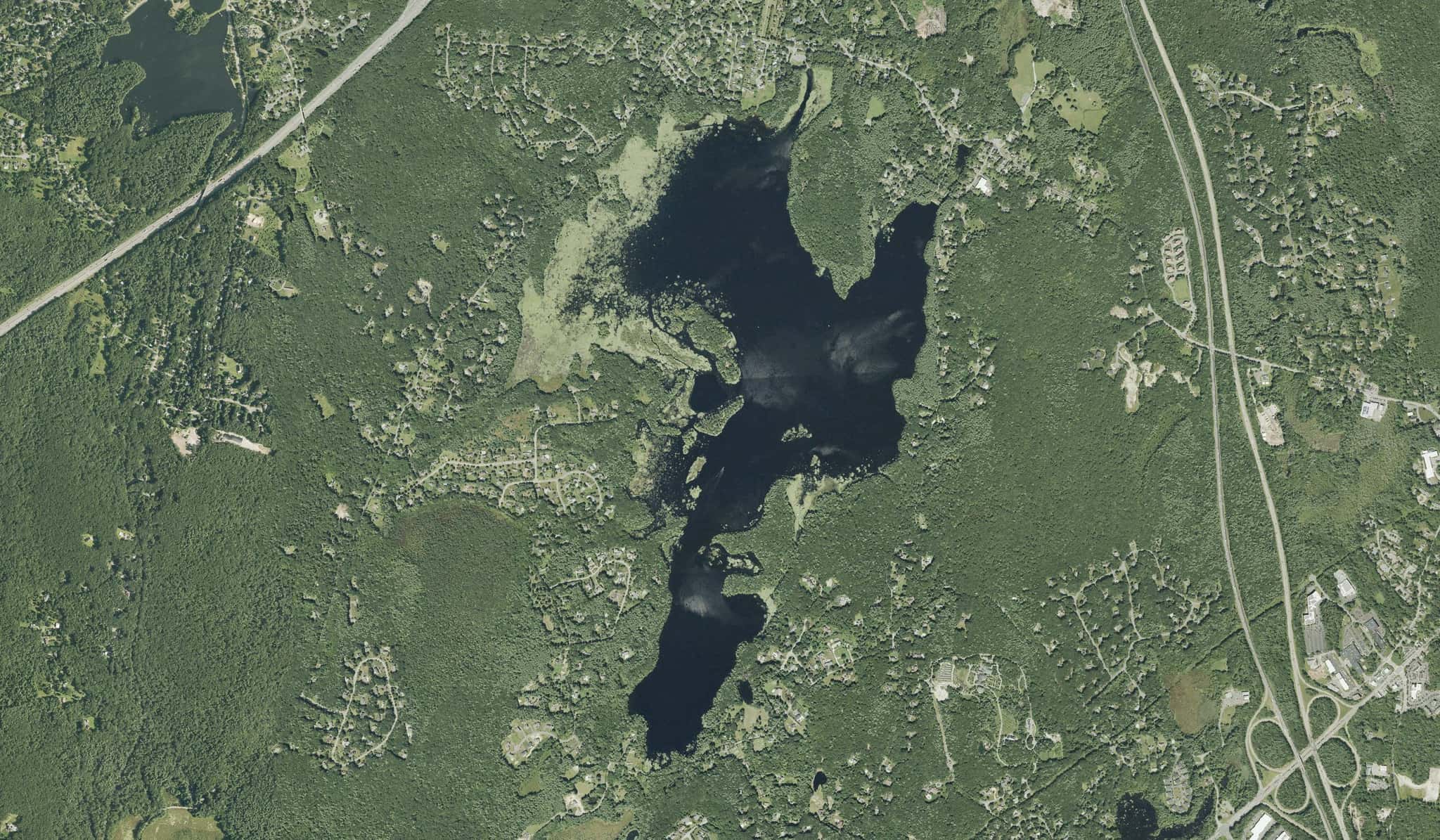
Among the 24 access points closest to downtown Worcester, 4 are named as kayak, canoe or paddlecraft launches in the state registry.
Distances are straight-line from downtown Worcester; below are the 4 closest, grouped by water.
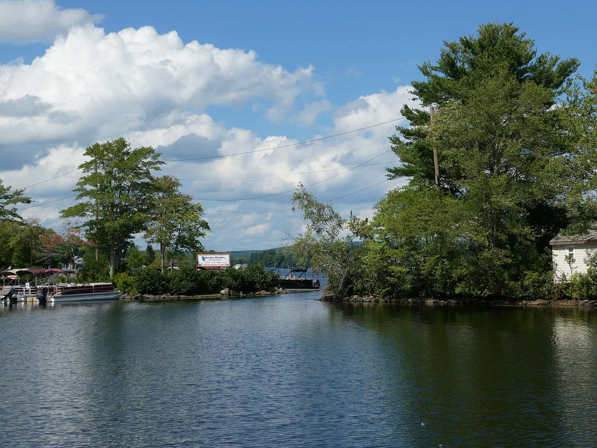
Wangumbaug Lake
Recorded in Wangumbaug Lake: Brown Trout, Rainbow Trout, Lake Trout, and Walleye.
Surveyed depths in Wangumbaug Lake reach 36 ft.
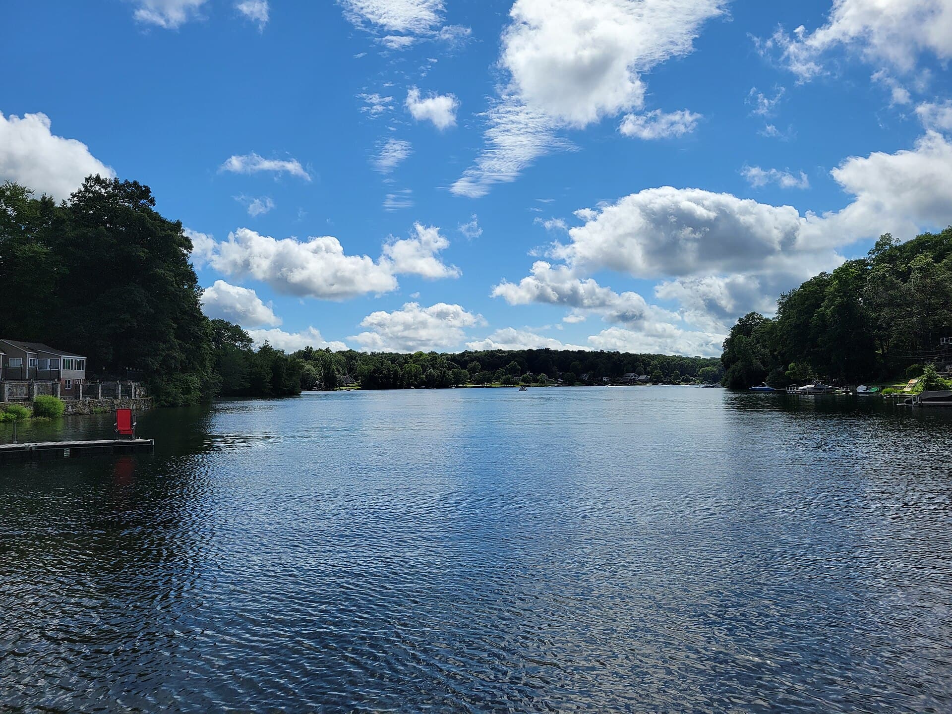
- 1Canoe & kayak launch — Wangumbaug Lake: boat ramp on Wangumbaug Lake, ≈ 43 mi from downtown.
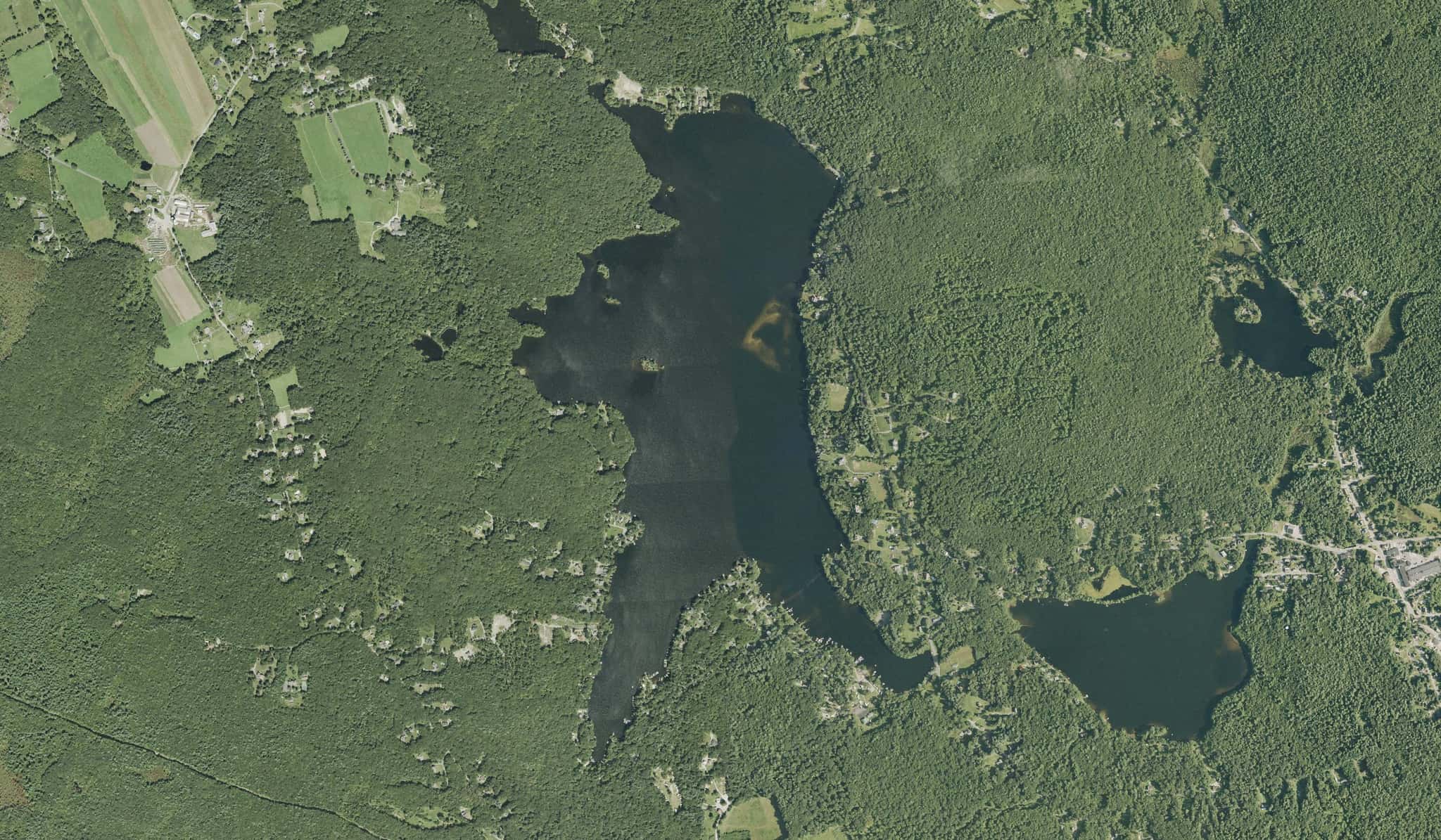
Big Island Pond
Recorded in Big Island Pond: Largemouth Bass, Smallmouth Bass, Black Crappie, and Brown Trout.
Surveyed depths in Big Island Pond reach 70 ft.
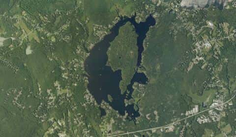
- 2Island Pond Canoe Launch: shore access on Big Island Pond, ≈ 51.1 mi from downtown.
- 3Canoe & kayak launch — Big Island Pond: boat ramp on Big Island Pond, ≈ 51.1 mi from downtown.
Lake Attitash
Recorded in Lake Attitash: Largemouth Bass, Northern Pike, and Common Carp.
Surveyed depths in Lake Attitash reach 30 ft.
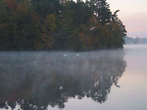
- 4Canoe & kayak launch — Lake Attitash: boat ramp on Lake Attitash, ≈ 58.3 mi from downtown.
When the fish bite here
By our bite calendar, Rainbow Trout is at peak around Worcester in November.
 FreshwaterPeak
Rainbow Trout
Oncorhynchus mykiss
Salmonidae
30 in20 lb7 yr265 watersGame fish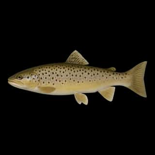 FreshwaterSlow
Brown Trout
Salmo trutta
Salmonidae
30 in30 lb10 yr181 watersGame fish FreshwaterSlow
Largemouth Bass
Micropterus salmoides
Centrarchidae
30 in22 lb16 yr935 watersGame fish FreshwaterSlow
Smallmouth Bass
Micropterus dolomieu
Centrarchidae
24 in12 lb10 yr443 watersGame fish Freshwater
Black Crappie
Pomoxis nigromaculatus
Centrarchidae
18 in5 lb6 yr700 watersGame fish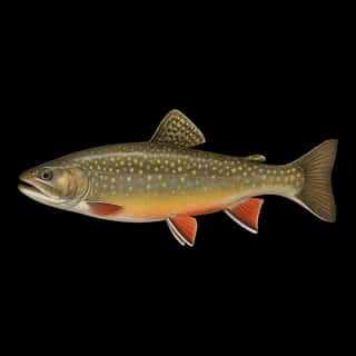 Freshwater
Brook Trout
Salvelinus fontinalis
Salmonidae
30 in12 lb5 yr99 watersGame fish