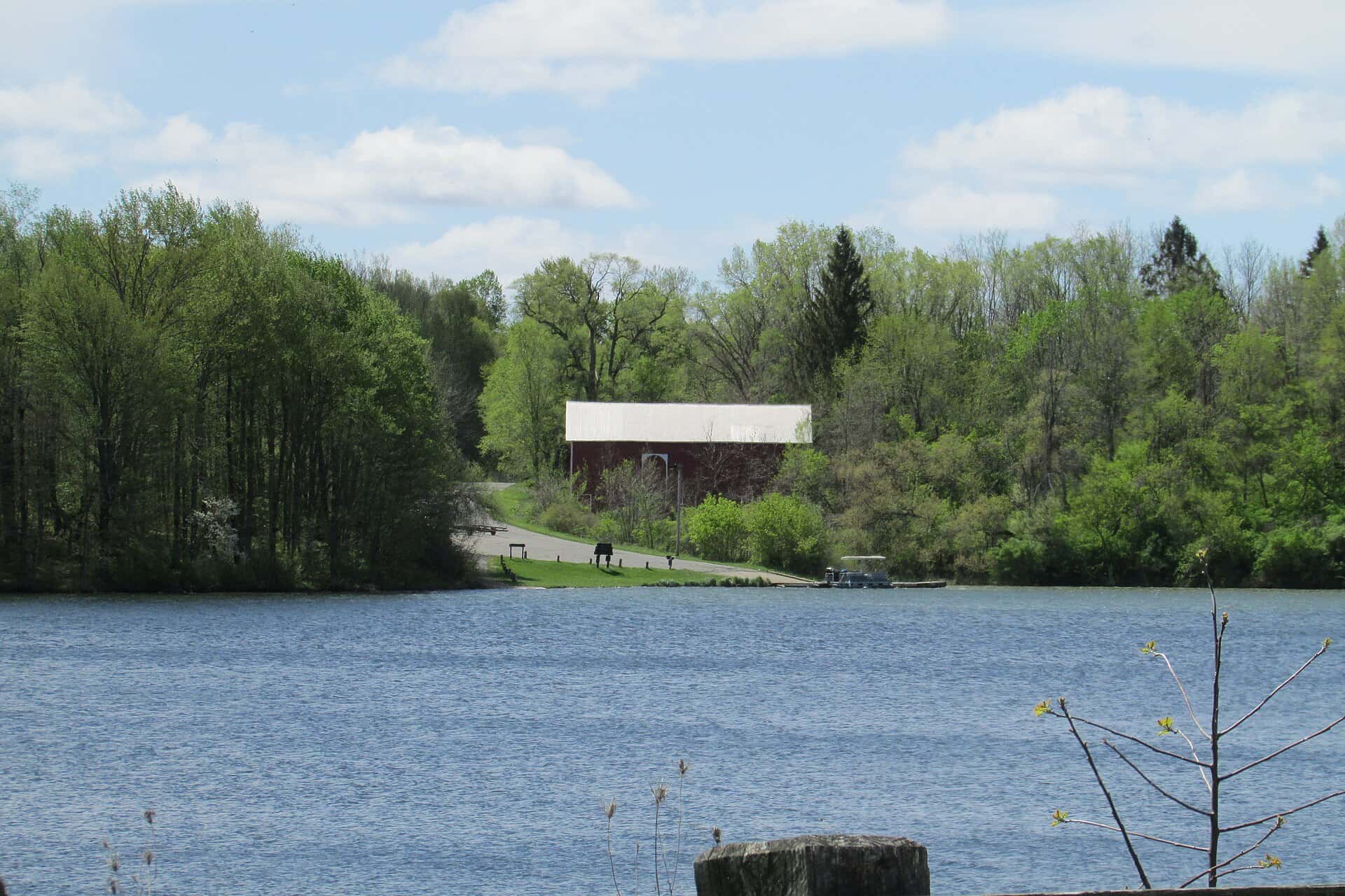
Two days, 4 stops on 4 public waters, all within 75 minutes of South Bend. Each stop below has its drive time, its access point and the fish recorded there.
Day 1
Morning: Lake Michigan
Start the day on Lake Michigan, launching from the ramp below.
Lake Michigan is a 50-minute drive from downtown South Bend. Launch at Washington Park, the public ramp on Lake Michigan closest to downtown (≈ 34 mi). Public access on Lake Michigan: 6 boat ramps. Surveyed depths reach 902 ft. Recorded here: Alewife, Common Carp, Rainbow Trout, and Brown Trout.
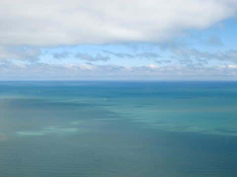
From Washington Park to Diamond Lake: 69 min by road (52.6 mi).
Evening: Diamond Lake
End the day on Diamond Lake.
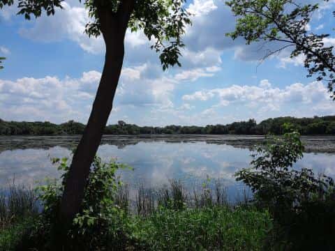
Diamond Lake is a 34-minute drive from downtown South Bend. Launch at Diamond Lake, the public ramp on Diamond Lake closest to downtown (≈ 19.7 mi). Public access on Diamond Lake: 1 boat ramp. Surveyed depths reach 64 ft. Recorded here: Walleye, Black Crappie, Bluegill, and Bowfin.
Day 2
Morning: Worster Lake
Start the day on Worster Lake, launching from the ramp below.
Worster Lake is a 27-minute drive from downtown South Bend. Launch at Worster Lake East Boat Launch, the public ramp on Worster Lake closest to downtown (≈ 10.8 mi). Public access on Worster Lake: 2 boat ramps. Surveyed depths reach 18 ft. Recorded here: Common Carp, Pumpkinseed, Largemouth Bass, and Gizzard Shad.
From Worster Lake East Boat Launch to Harwood Lake: 81 min by road (52.3 mi).
Evening: Corey Lake
End the day on Corey Lake.
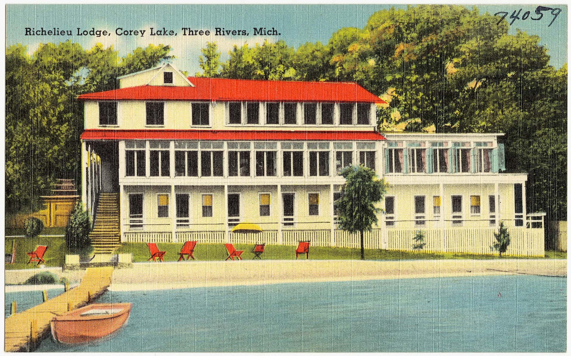
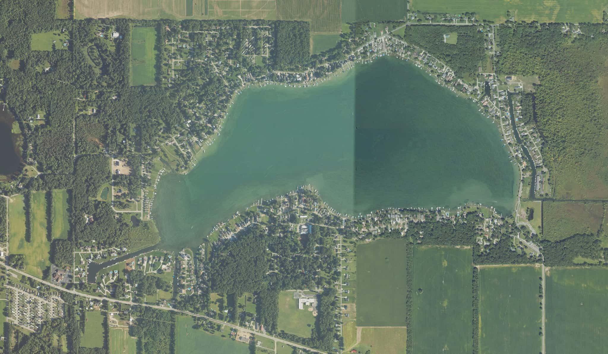
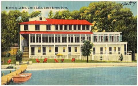
Corey Lake is a 53-minute drive from downtown South Bend. Launch at Harwood Lake, the public ramp on Corey Lake closest to downtown (≈ 30.3 mi). Public access on Corey Lake: 2 boat ramps. Surveyed depths reach 70 ft. Recorded here: Rainbow Trout, Walleye, Cisco, and Bluegill.
When the fish bite here
By our bite calendar, Rainbow Trout is at peak around South Bend in November.
 FreshwaterSlow
Largemouth Bass
Micropterus salmoides
Centrarchidae
30 in22 lb16 yr935 watersGame fish FreshwaterPeak
Rainbow Trout
Oncorhynchus mykiss
Salmonidae
30 in20 lb7 yr265 watersGame fish FreshwaterSlow
Bluegill
Lepomis macrochirus
Centrarchidae
12 in4 lb6 yr797 watersGame fish FreshwaterSlow
Common Carp
Cyprinus carpio
Cyprinidae
48 in80 lb20 yr449 waters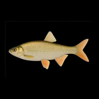 FreshwaterSlow
Golden Shiner
Notemigonus crysoleucas
Leuciscidae
12 in1 lb3 yr83 waters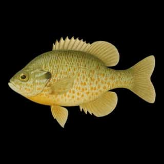 FreshwaterSlow
Pumpkinseed
Lepomis gibbosus
Centrarchidae
10 in1 lb6 yr563 watersGame fish