Among the 59 access points closest to downtown Orlando, 7 are named as kayak, canoe or paddlecraft launches in the state registry.
Distances are straight-line from downtown Orlando; below are the 7 closest, grouped by water.
Lake Conway
Recorded in Lake Conway: Largemouth Bass, Sunshine Bass, Brown Bullhead, and Channel Catfish.
Surveyed depths in Lake Conway reach 34 ft.
- 1Warren Park Paddlecraft Launch Dock: boat ramp on Lake Conway, ≈ 6 mi from downtown.
Lake Tohopekaliga
Recorded in Lake Tohopekaliga: Largemouth Bass, Striped Bass, Sunshine Bass, and Brown Bullhead.
Surveyed depths in Lake Tohopekaliga reach 17 ft.
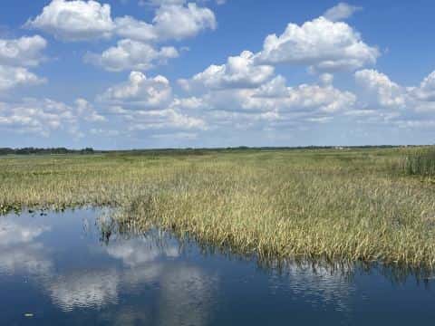
- 2Tupperware Island Conservation Area / Brownie Wise Park - Canoe/Kayak Launch Dock: boat ramp on Lake Tohopekaliga, ≈ 18.4 mi from downtown.
- 3Scotty's Cove Conservation Area - Canoe/Kayak Launch: boat ramp on Lake Tohopekaliga, ≈ 19.3 mi from downtown.
- 4Twin Oaks Conservation Area - Canoe/Kayak Launch: boat ramp on Lake Tohopekaliga, ≈ 21 mi from downtown.
Saint Johns River
Recorded in Saint Johns River: Flier, Spotted Bass, Brown Bullhead, and Spotted Gar.
Surveyed depths in Saint Johns River reach 65 ft.
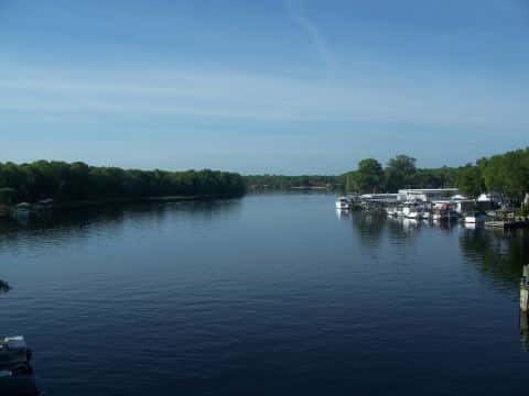
- 5Volusia Blue Spring State Park - Canoe/Kayak Launch: boat ramp on Saint Johns River, ≈ 27.7 mi from downtown.
Lake Griffin
Recorded in Lake Griffin: Largemouth Bass, Striped Bass, Sunshine Bass, and Brown Bullhead.
Surveyed depths in Lake Griffin reach 18 ft.
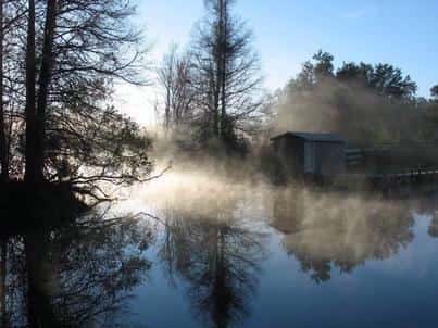
- 6Henderson Park at Beverly Shores Kayak Launch: boat ramp on Lake Griffin, ≈ 36.2 mi from downtown.
Lake Rochelle
Recorded in Lake Rochelle: Largemouth Bass, Sunshine Bass, Brown Bullhead, and Channel Catfish.
Surveyed depths in Lake Rochelle reach 18 ft.
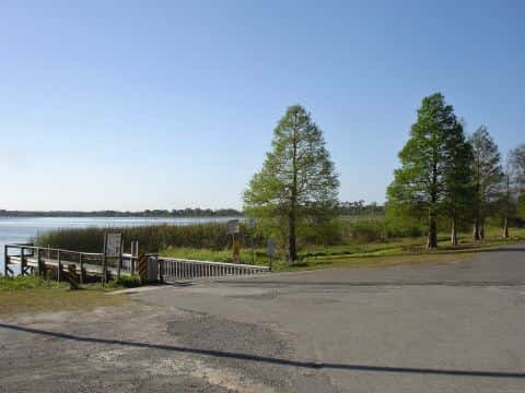
- 7Mackay Gardens and Lakeside Preserve - Canoe Launch: boat ramp on Lake Rochelle, ≈ 38.2 mi from downtown.
When the fish bite here
By our bite calendar, November is a slow month around Orlando for the fish recorded at these stops — the bars on each card show when each one picks up.
 Freshwater
Brown Bullhead
Ameiurus nebulosus
Ictaluridae
24 in8 lb8 yr519 watersGame fish FreshwaterSlow
Largemouth Bass
Micropterus salmoides
Centrarchidae
30 in22 lb16 yr934 watersGame fish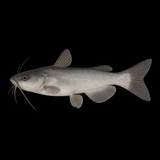 FreshwaterSlow
White Catfish
Ameiurus catus
Ictaluridae
30 in10 lb10 yr93 watersGame fish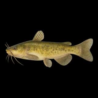 FreshwaterSlow
Yellow Bullhead
Ameiurus natalis
Ictaluridae
24 in8 lb8 yr539 watersGame fish Freshwater
Black Crappie
Pomoxis nigromaculatus
Centrarchidae
18 in5 lb6 yr701 watersGame fish Freshwater
Channel Catfish
Ictalurus punctatus
Ictaluridae
48 in50 lb20 yr346 watersGame fish