Pickwick Lake fishing: Striped Bass, Largemouth Bass, Yellow Perch
Target species: Striped Bass, Largemouth Bass, Yellow Perch, Sauger, White Bass
Best months: Apr, May, Oct, Nov for Striped Bass
Second window: May, Jun, Sep, Oct for Largemouth Bass
Boat: 18 ramps and launches on file for this water.
Start here: Launch at McFarland West, 3 lanes.
The reservoir
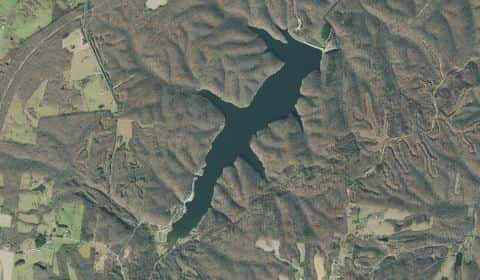
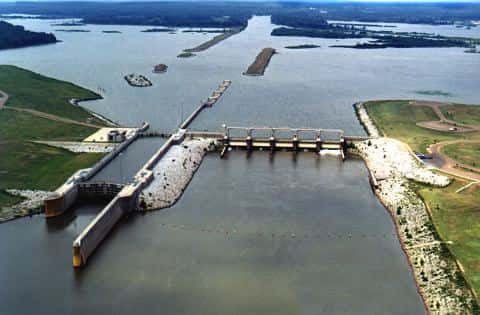
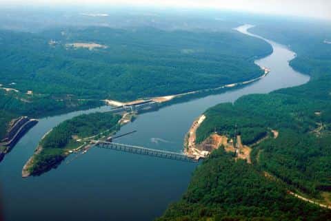
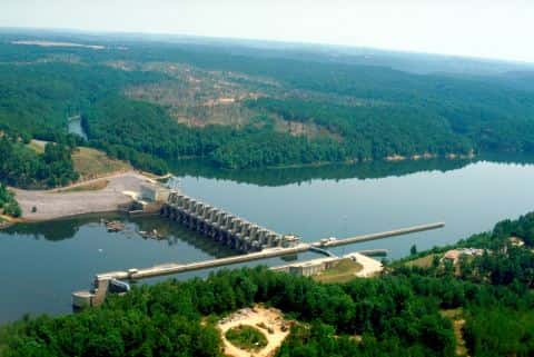
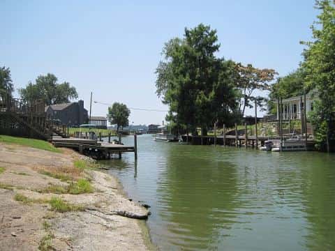
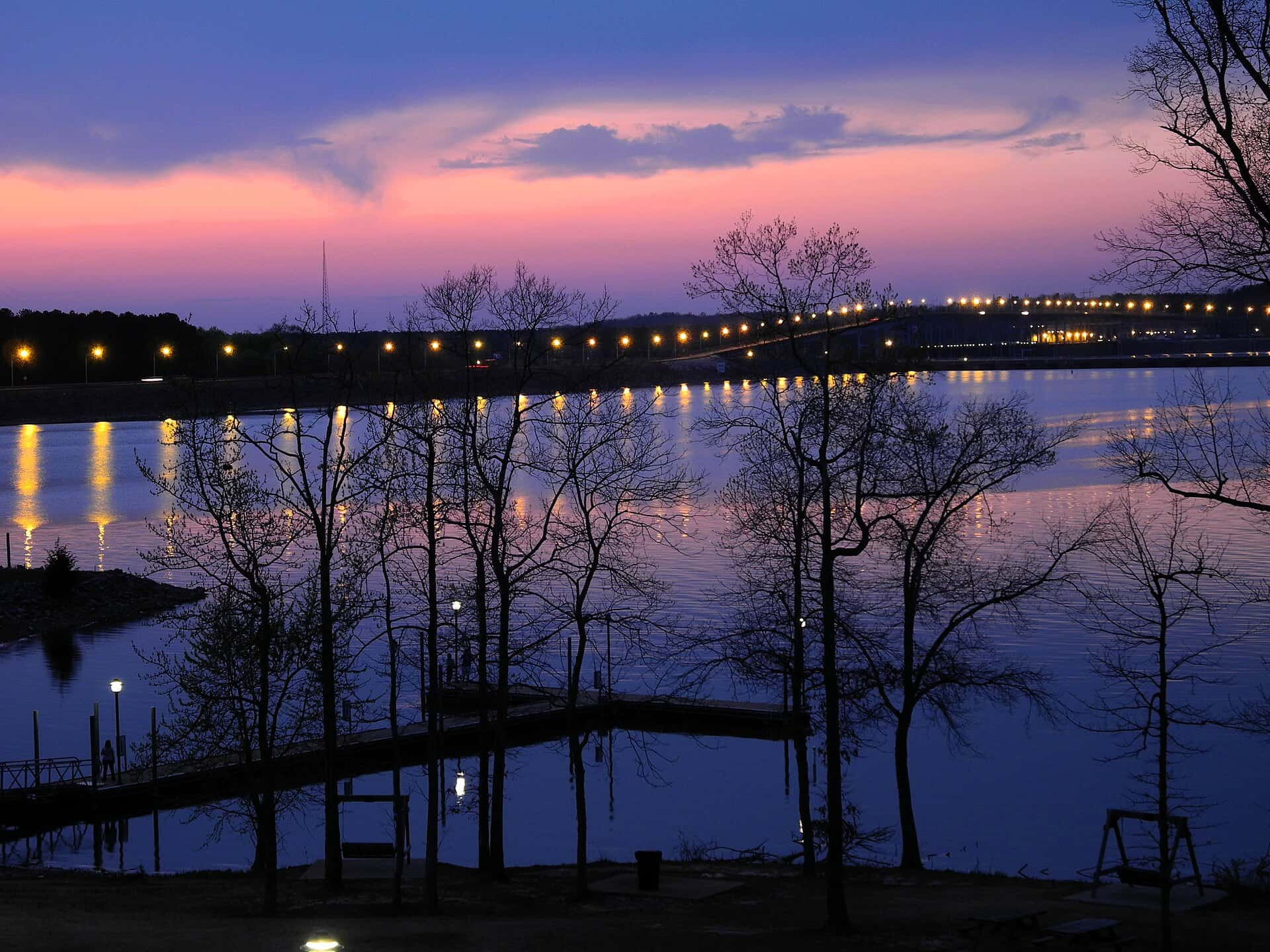
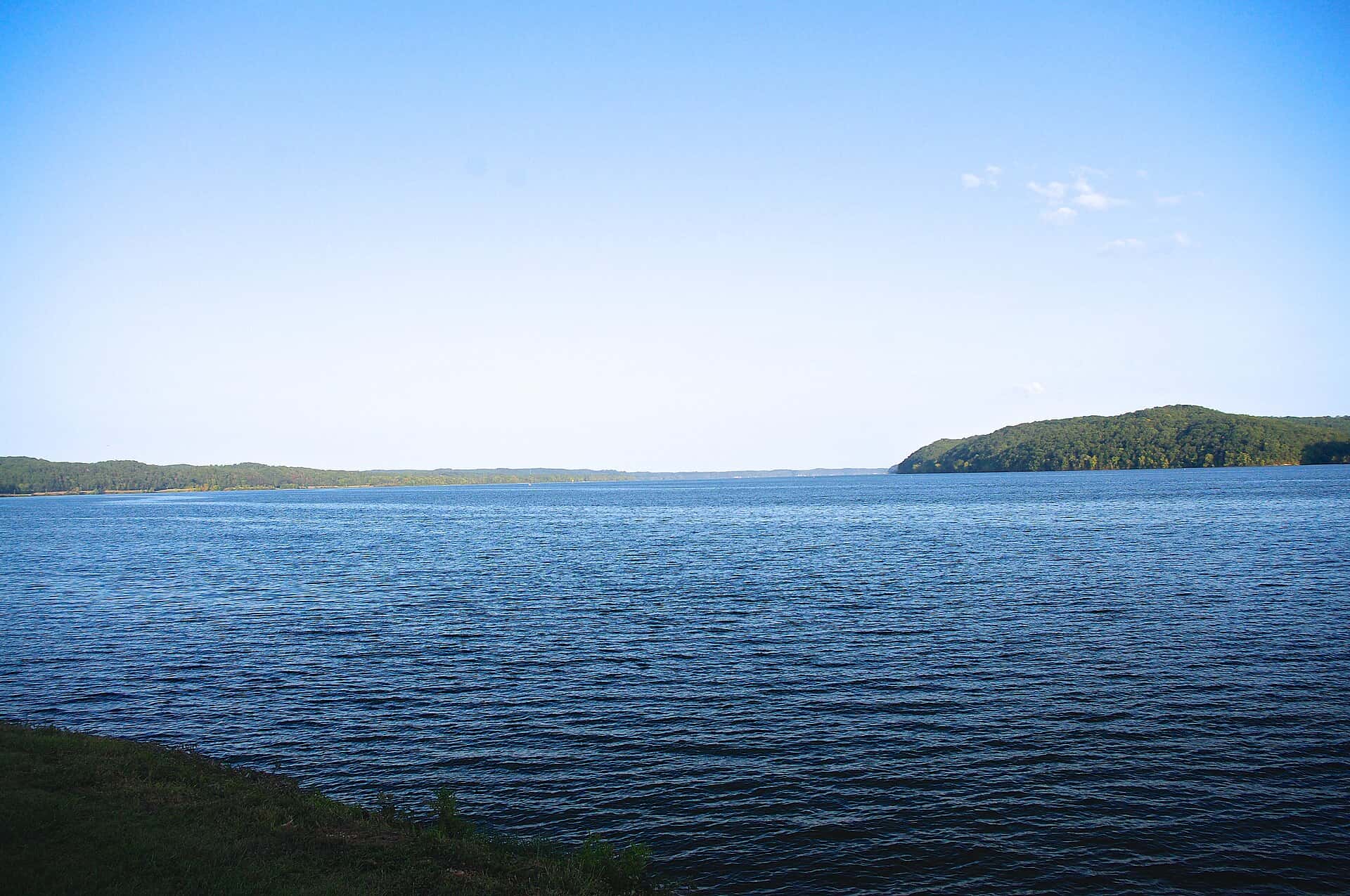
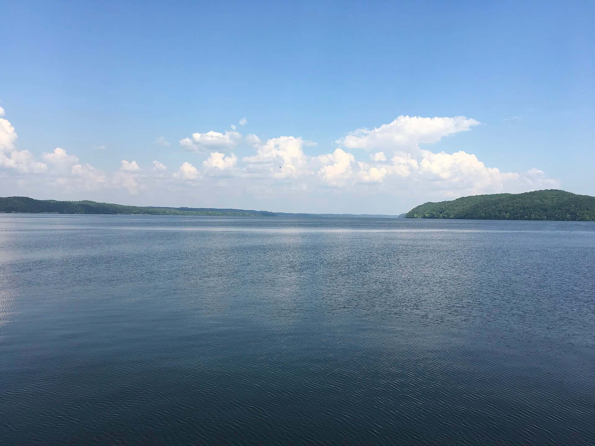
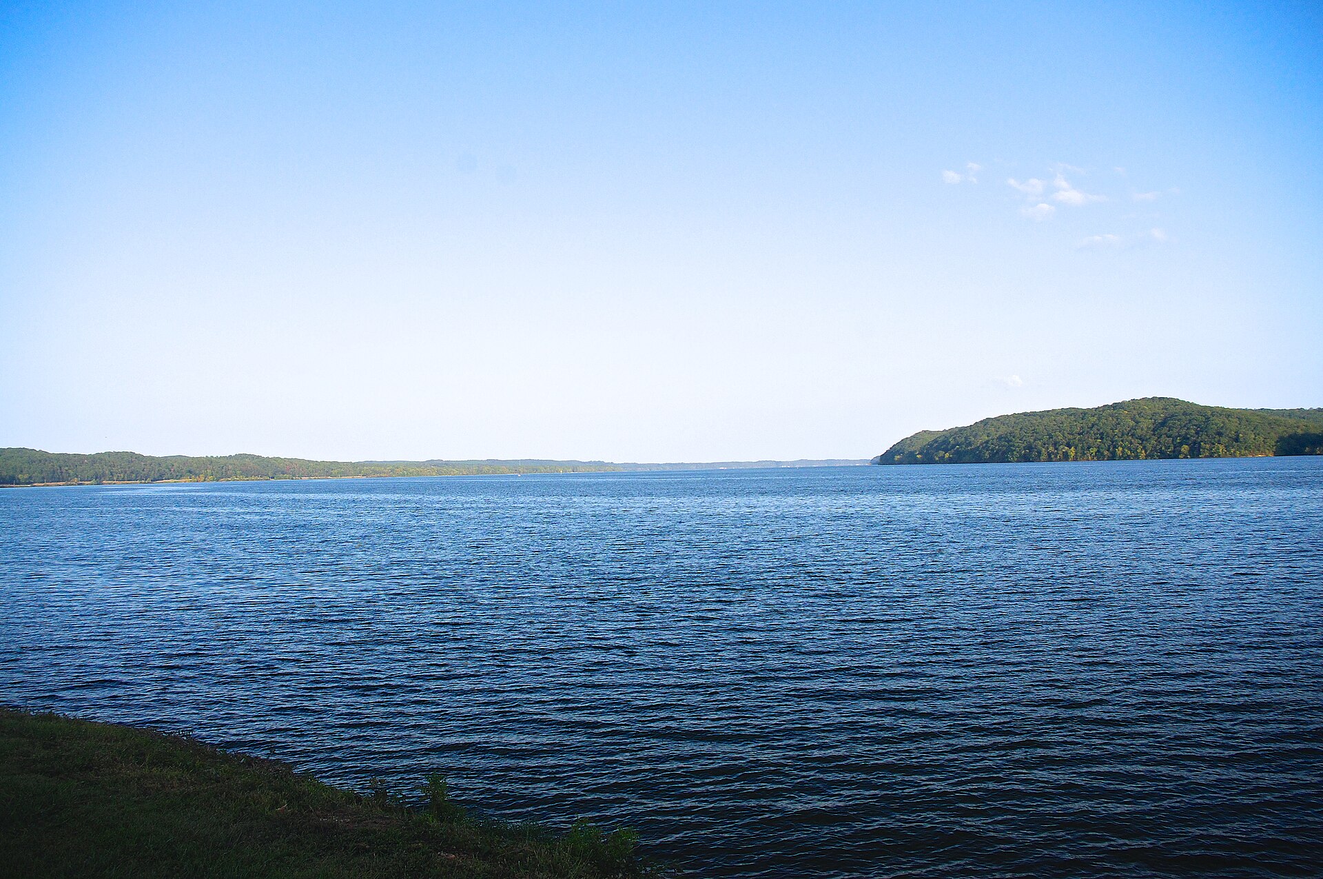
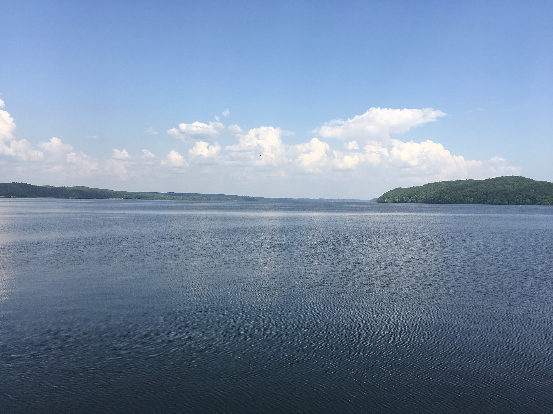
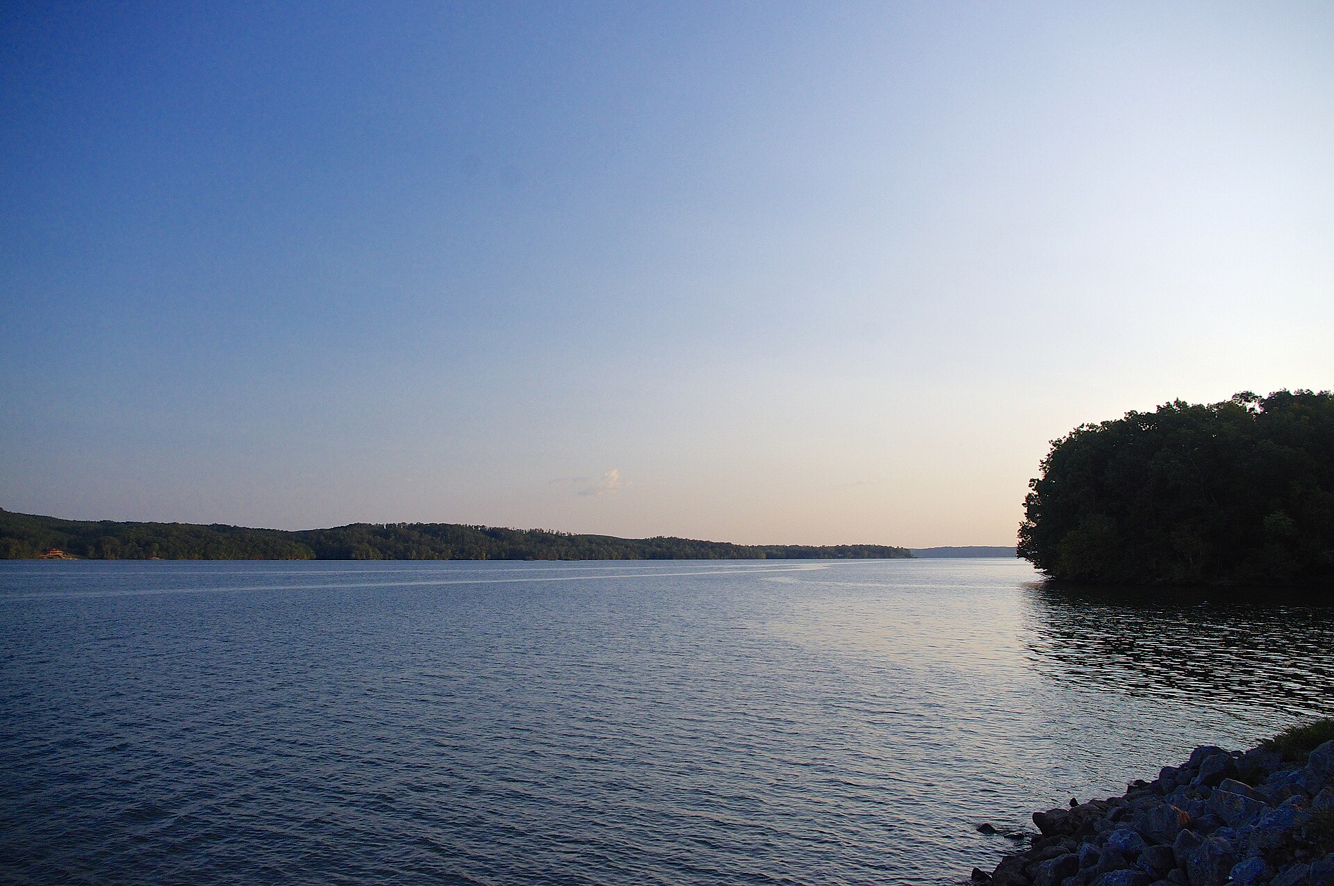
Pickwick Lake covers 40,301 acres in Alabama, across 2 counties: Lauderdale and Colbert. It is a reservoir: the deepest figure on record is 83 feet (25.3 m), as published by USGS RESSED, a figure without a map of the bottom. Our records hold 8 species for this water. 15% of the water lies in Tennessee. 15% of the water lies in Mississippi.
5 target fish, led by Striped Bass
- Striped Bass — Best months: Apr, May, Oct, Nov.
- Largemouth Bass — Best months: May, Jun, Sep, Oct.
- Yellow Perch — Best months: Nov, Dec, Mar, Apr.
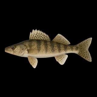
- Sauger — Best months: Dec, Jan, Feb, Mar.
- White Bass — Best months: May, Oct.
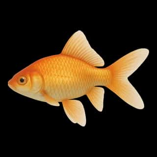
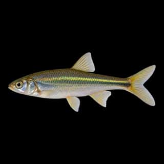
Also recorded here: Common Carp, Emerald Shiner, Goldfish.
18 ramps and launches on this water
On this water we hold 15 trailer ramps and 3 boat ramps.
- Pickwick State Park Ramp #1 — 3 lanes, open around the clock, lit for night fishing, restrooms. On Pickwick Reservoir, TDEC.
- Picwick Landing State Park Ramp #2 — 3 lanes, open around the clock, lit for night fishing, restrooms. On Pickwick Reservoir, TDEC.
- State Line Ramp — 3 lanes, open around the clock, lit for night fishing. On Pickwick Reservoir, TWRA.
- TVA State Line Island — 3 lanes, open around the clock. On Pickwick Reservoir, TVA.
- Yellow Creek — 2 lanes, open around the clock, lit for night fishing. On Pickwick Reservoir, TWRA.
- Bruton Branch State Park — 1 lane, open around the clock, lit for night fishing, restrooms. On Pickwick Reservoir, TDEC.
- Winn Springs — 1 lane, open around the clock. On Pickwick Reservoir, Private Land.
- Aqua Yacht Harbor — Iuka. 3832 Hwy 25, Iuka 38852
- Eastport Marina — restrooms. Iuka. 892 County Road 956, Iuka 38852 · phone +1-662-423-6972 · website epmarina.com
- Florence Harbor Marina — Florence. 1050 Clayborn Liles Drive, Florence 35630
Fee and opening hours are blank for all 10 places in this list: a blank means we hold no such field, not that it is free or always open, and this list may not be complete.
Water and conditions
Water clarity runs 3–7.6 feet on our readings, averaging 5.1 feet, from 189 readings. Water temperature averages 69°F across the year. The coldest single reading we hold is 42°F and the warmest is 92°F; the warmest monthly average is 85°F. pH averages 7.8. These readings span 2016–2026.
Monthly average water temperature: Jan 49°F · Feb 48°F · Mar 55°F · Apr 62°F · May 71°F · Jun 80°F · Jul 85°F · Aug 85°F · Sep 81°F · Oct 73°F · Nov 63°F · Dec 54°F
Depth and bottom
Deepest figure on record: 83 ft (25.3 m), as published by USGS RESSED. We hold no survey map of this bottom, so we show no depth bands. We hold 14 depth contours for this water, drawn from 1,734 soundings.
Season by season
- Winter (Dec, Jan, Feb, Mar, 48–55°F) — Biting: Yellow Perch, Sauger.
- Spring (Apr, May, 62–71°F) — Biting: Striped Bass, Largemouth Bass, Yellow Perch, White Bass.
- Summer (Jun, Jul, Aug, Sep, 80–85°F) — Biting: Largemouth Bass. Steady but no peak: Striped Bass, Yellow Perch, White Bass.
- Fall (Oct, Nov, 63–73°F) — Biting: Striped Bass, Largemouth Bass, Yellow Perch, White Bass.
What is hard here
Wind is the limit, not the fish: 40,301 acres of open water build a short steep chop, and there is no shelter in the middle. Winter water drops to 48°F, and the warm-water species stop feeding well before you do. Summer water sits at 85°F: heat and afternoon lightning are the real risks, not the fishing.
Where this data comes from
- USACE eHydro — USACE eHydro channel surveys: class A, a survey of the bottom.
- USGS RESSED — USGS RESSED reservoir sedimentation database: class B, a depth figure measured and published by an agency, without a bottom map.
- EPA NLA — EPA National Lakes Assessment: class B, a depth figure measured and published by an agency, without a bottom map.
- Webster, K.E., McCullough, I.M., Soranno, P.A. LAGOS-US DEPTH v1.0, EDI, doi:10.6073/pasta/64ddc4d04661d9aef4bd702dc5d8984f (CC BY 4.0); Cheruvelil et al. LAGOS-US LOCUS v1.0 (EDI) — LAGOS-US DEPTH v1.0: Lake depth for 17,675 lakes in the conterminous U.S.: class B, a depth figure measured and published by an agency, without a bottom map.