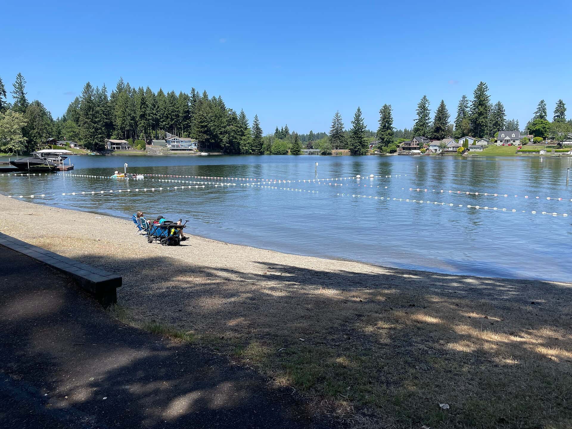
Two days, 4 stops on 4 public waters, all within 75 minutes of Seattle. Each stop below has its drive time, its access point and the fish recorded there.
Day 1
Morning: Elliott Bay
Start the day on Elliott Bay, launching from the ramp below.
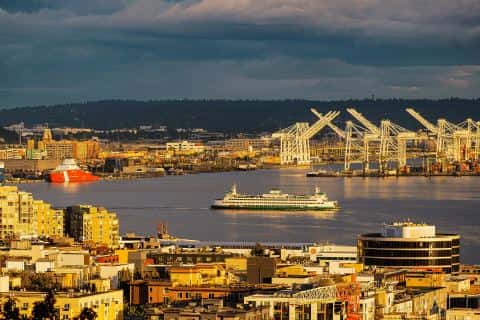
Elliott Bay is a 4-minute drive from downtown Seattle. Launch at Don Armeni, the public ramp on Elliott Bay closest to downtown (≈ 2.6 mi). Public access on Elliott Bay: 1 boat ramp. Surveyed depths reach 610 ft. Recorded here: Coho Salmon, Chinook Salmon, Shiner Perch, and Brown Rockfish.
From Don Armeni to Point White Pier: 80 min by road (20 mi).
Evening: Point White Pier
End the day at Point White Pier — no boat needed.
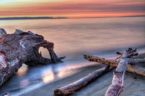
Puget Sound is a 69-minute drive from downtown Seattle. Point White Pier: pier on Puget Sound, ≈ 11.5 mi from downtown. Public access on Puget Sound: 5 boat ramps and 1 pier. Surveyed depths reach 244 ft. Recorded here: Shiner Perch, Prickly Sculpin, and Sand Sole.
Day 2
Morning: Lake Washington
Start the day on Lake Washington, launching from the ramp below.
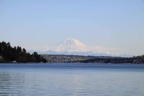
Lake Washington is a 6-minute drive from downtown Seattle. Launch at Adams Street Boat Ramp, the public ramp on Lake Washington closest to downtown (≈ 4 mi). Public access on Lake Washington: 3 boat ramps. Surveyed depths reach 220 ft. Recorded here: Rainbow Trout, Lake Trout, Yellow Perch, and Common Carp.
From Adams Street Boat Ramp to Union River: 92 min by road (33.6 mi).
Evening: Union River
End the day at Union River — no boat needed.
Hood Canal is a 73-minute drive from downtown Seattle. Union River: shore access on Hood Canal, ≈ 26.2 mi from downtown. Public access on Hood Canal: 5 boat ramps. Surveyed depths reach 612 ft. Recorded here: Sand Sole, Coho Salmon, Copper Rockfish, and Brown Rockfish.
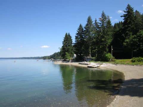
When the fish bite here
By our bite calendar, November is a slow month around Seattle for the fish recorded at these stops — the bars on each card show when each one picks up.
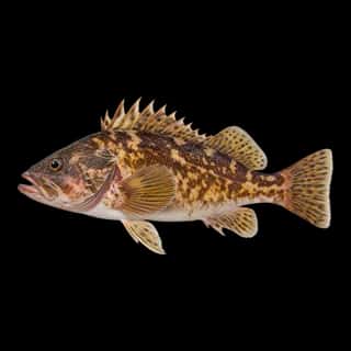 SaltwaterSlow
Brown Rockfish
Sebastes auriculatus
Sebastidae
30 in10 lb20 yr2 watersGame fish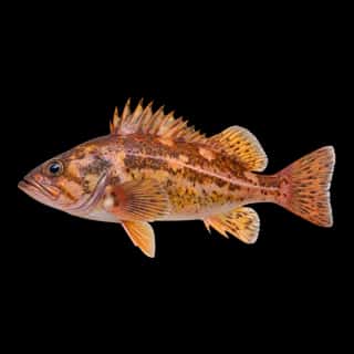 SaltwaterSlow
Copper Rockfish
Sebastes caurinus
Sebastidae
30 in15 lb20 yr3 watersGame fish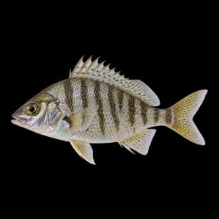 SaltwaterSlow
Shiner Perch
Cymatogaster aggregata
Embiotocidae
10 in1 lb5 yr5 watersGame fish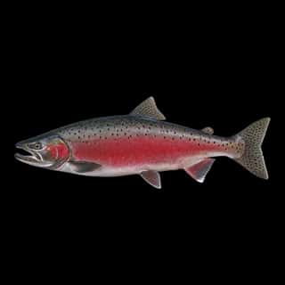 Saltwater
Coho Salmon
Oncorhynchus kisutch
Salmonidae
36 in18 lb4 yr6 watersGame fish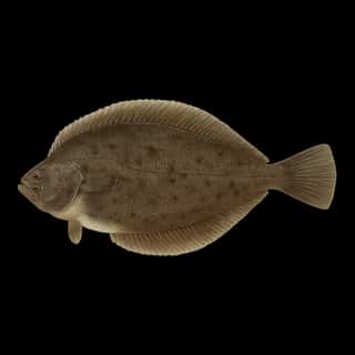 Saltwater
Pacific Dover Sole
Lepidopsetta bilineata
Pleuronectidae
30 in10 lb10 yr3 watersGame fish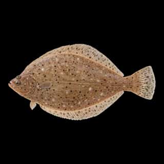 Saltwater
Sand Sole
Psettichthys melanostictus
Pleuronectidae
30 in10 lb5 yr3 watersGame fish