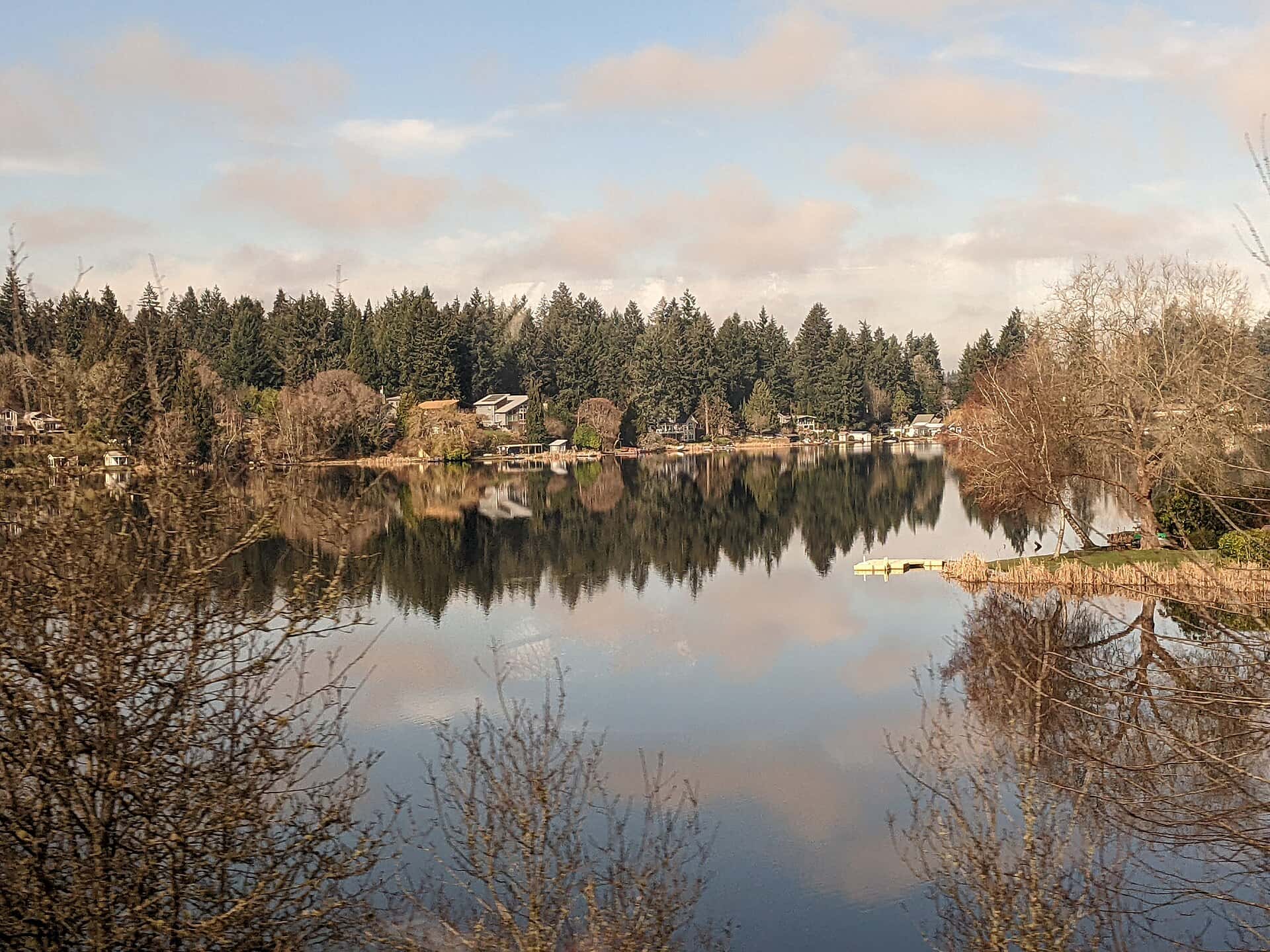
Two days, 4 stops on 4 public waters, all within 75 minutes of Olympia. Each stop below has its drive time, its access point and the fish recorded there.
Day 1
Morning: Hood Canal
Start the day on Hood Canal, launching from the ramp below.
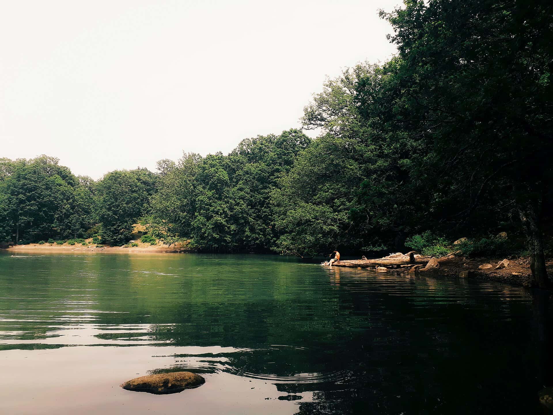
Hood Canal is a 47-minute drive from downtown Olympia. Launch at Misery Point, the public ramp on Hood Canal closest to downtown (≈ 42 mi). Public access on Hood Canal: 5 boat ramps. Surveyed depths reach 612 ft. Recorded here: Sand Sole, Coho Salmon, Copper Rockfish, and Brown Rockfish.
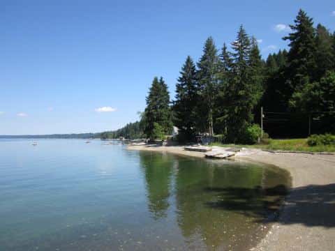
From Misery Point to Ross Point: 31 min by road (20.6 mi).
Evening: Ross Point
End the day at Ross Point — no boat needed.
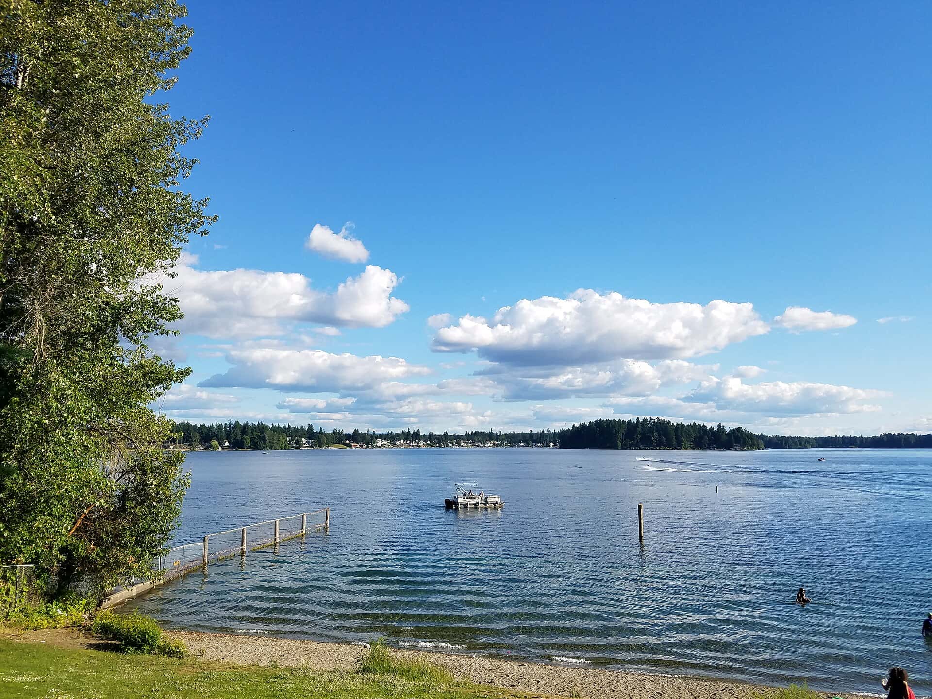
Puget Sound is a 68-minute drive from downtown Olympia. Ross Point: shore access on Puget Sound, ≈ 35.9 mi from downtown. Public access on Puget Sound: 5 boat ramps and 1 pier. Surveyed depths reach 244 ft. Recorded here: Shiner Perch, Prickly Sculpin, and Sand Sole.
Day 2
Morning: Black Lake
Start the day on Black Lake, launching from the ramp below.
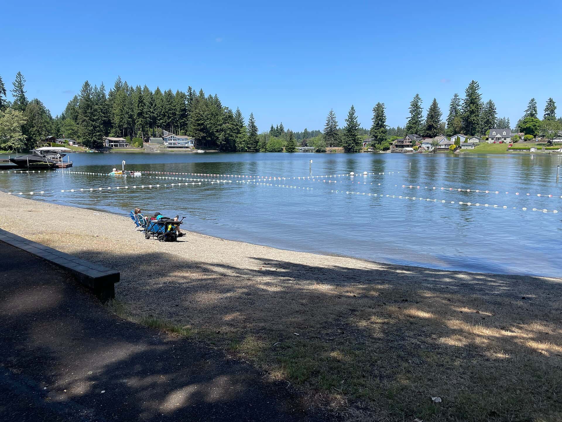
Black Lake is a 12-minute drive from downtown Olympia. Launch at Black Lake, the public ramp on Black Lake closest to downtown (≈ 5.7 mi). Public access on Black Lake: 1 boat ramp. Surveyed depths reach 28 ft. Recorded here: Rainbow Trout, Cutthroat Trout, Black Crappie, and Walleye.
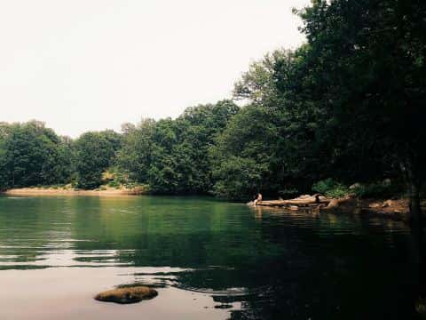
From Black Lake to Long Lake: 23 min by road (13.7 mi).
Evening: Long Lake
End the day on Long Lake.
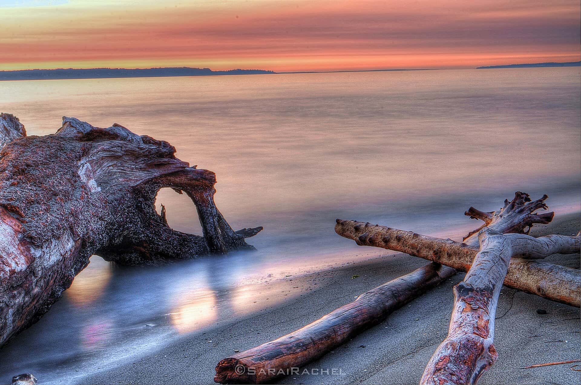
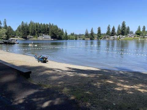
Long Lake is a 15-minute drive from downtown Olympia. Launch at Long Lake, the public ramp on Long Lake closest to downtown (≈ 5.6 mi). Public access on Long Lake: 1 boat ramp. Surveyed depths reach 20 ft. Recorded here: Brook Trout, Rainbow Trout, Brown Trout, and Bluegill.
When the fish bite here
By our bite calendar, Rainbow Trout is at peak around Olympia in November. Cutthroat Trout and Rock Bass bite well.
 FreshwaterPeak
Rainbow Trout
Oncorhynchus mykiss
Salmonidae
30 in20 lb7 yr265 watersGame fish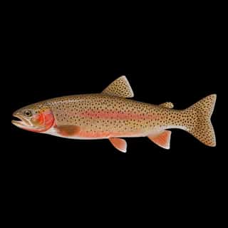 FreshwaterGood
Cutthroat Trout
Oncorhynchus clarkii
Salmonidae
30 in20 lb7 yr69 watersGame fish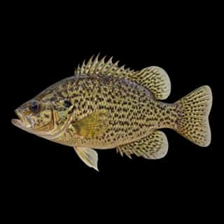 FreshwaterGood
Rock Bass
Ambloplites rupestris
Centrarchidae
15 in3 lb7 yr398 watersGame fish FreshwaterSlow
Bluegill
Lepomis macrochirus
Centrarchidae
12 in4 lb6 yr799 watersGame fish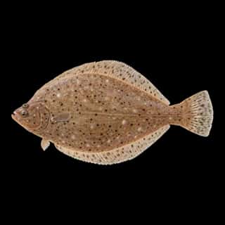 Saltwater
Sand Sole
Psettichthys melanostictus
Pleuronectidae
30 in10 lb5 yr3 watersGame fish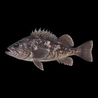 SaltwaterSlow
Black Rockfish
Sebastes melanops
Sebastidae
30 in15 lb20 yr2 watersGame fish