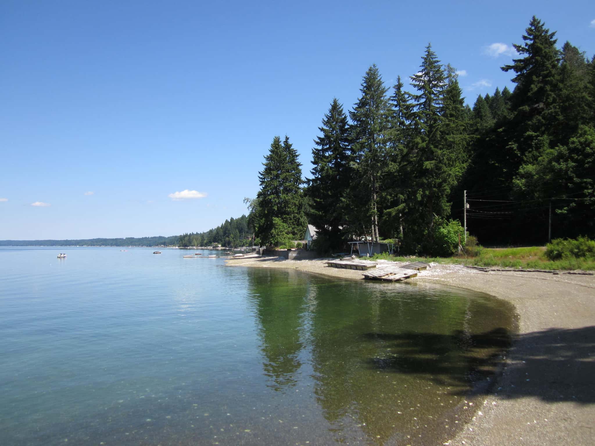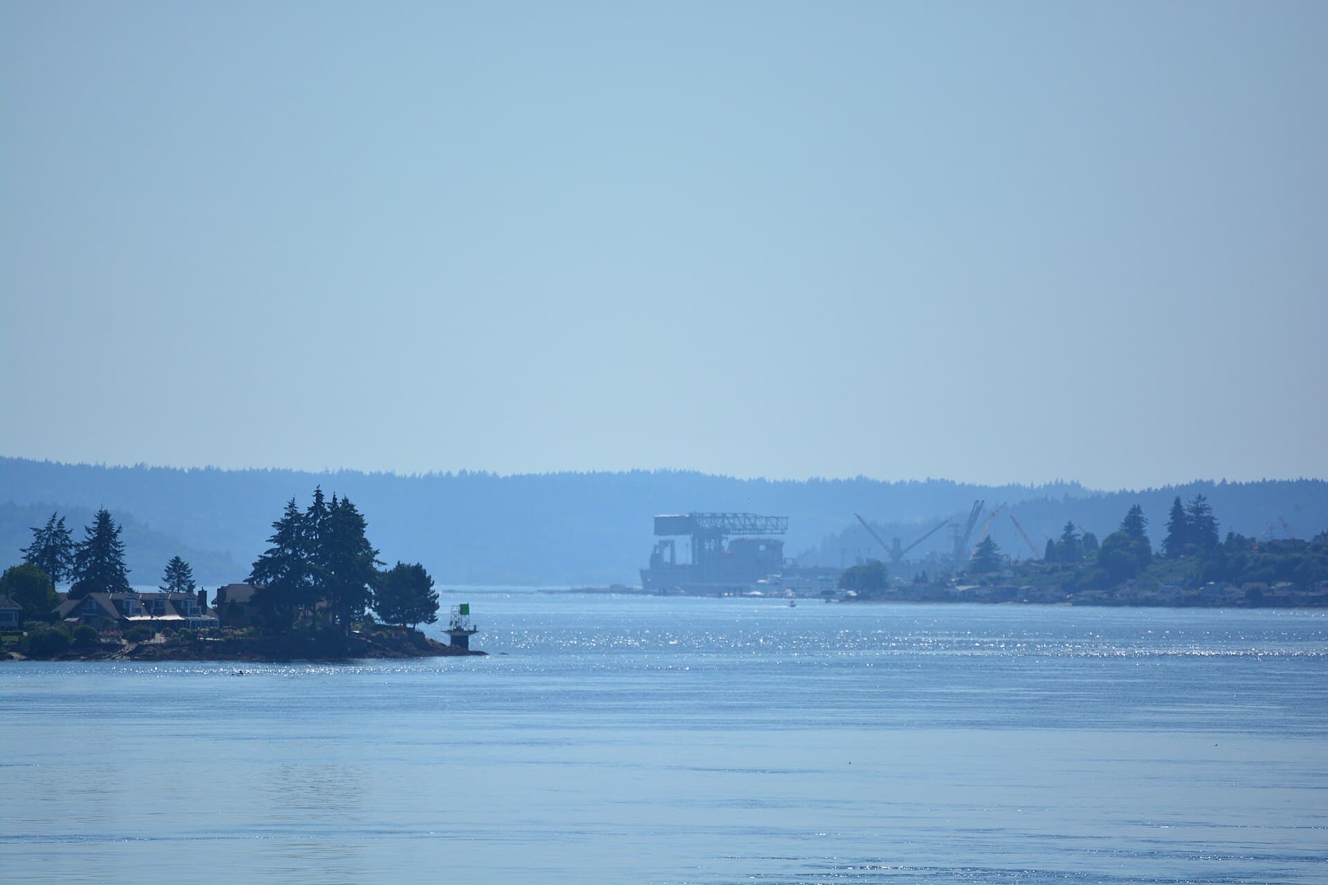
14 public boat ramps on published waters near Bremerton.
Distances are straight-line from downtown Bremerton; below are the 12 closest, grouped by water.
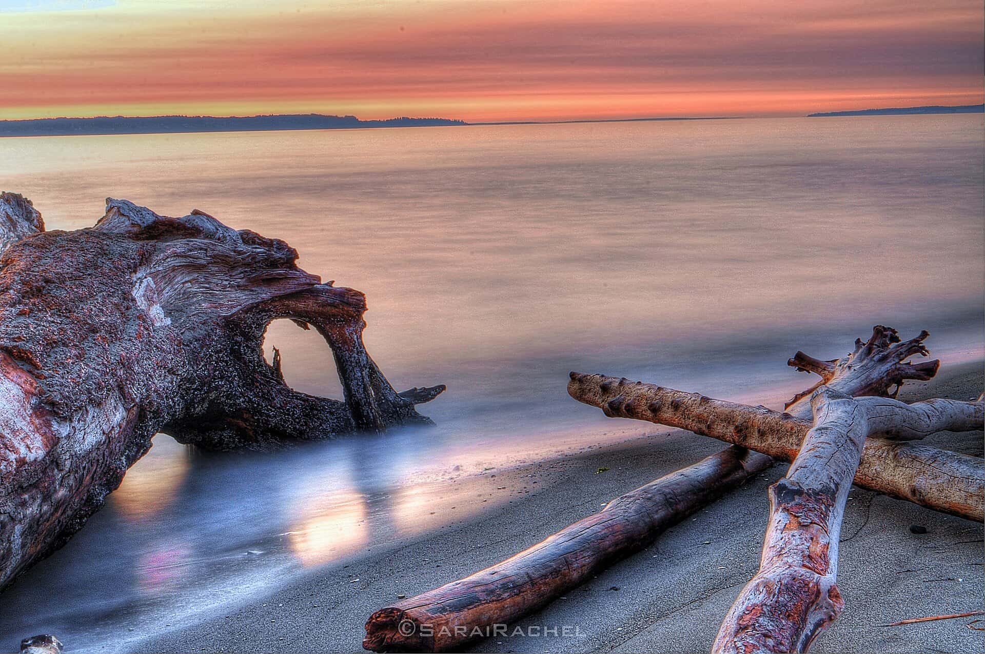
Puget Sound
Recorded in Puget Sound: Shiner Perch, Prickly Sculpin, and Sand Sole.
Surveyed depths in Puget Sound reach 244 ft.
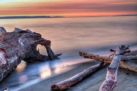
- 1Evergreen Park - Bremerton: boat ramp on Puget Sound, ≈ 0.6 mi from downtown.
- 2Canoe & kayak launch — Puget Sound: boat ramp on Puget Sound, ≈ 4.7 mi from downtown.
- 3Fletcher Landing: boat ramp on Puget Sound, ≈ 5.7 mi from downtown.
- 5Port of Silverdale: boat ramp on Puget Sound, ≈ 6.3 mi from downtown.
- 6Keyport: boat ramp on Puget Sound, ≈ 9.6 mi from downtown.
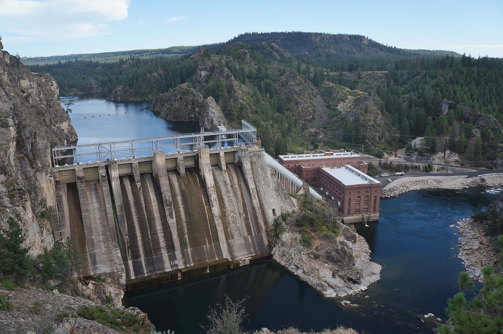
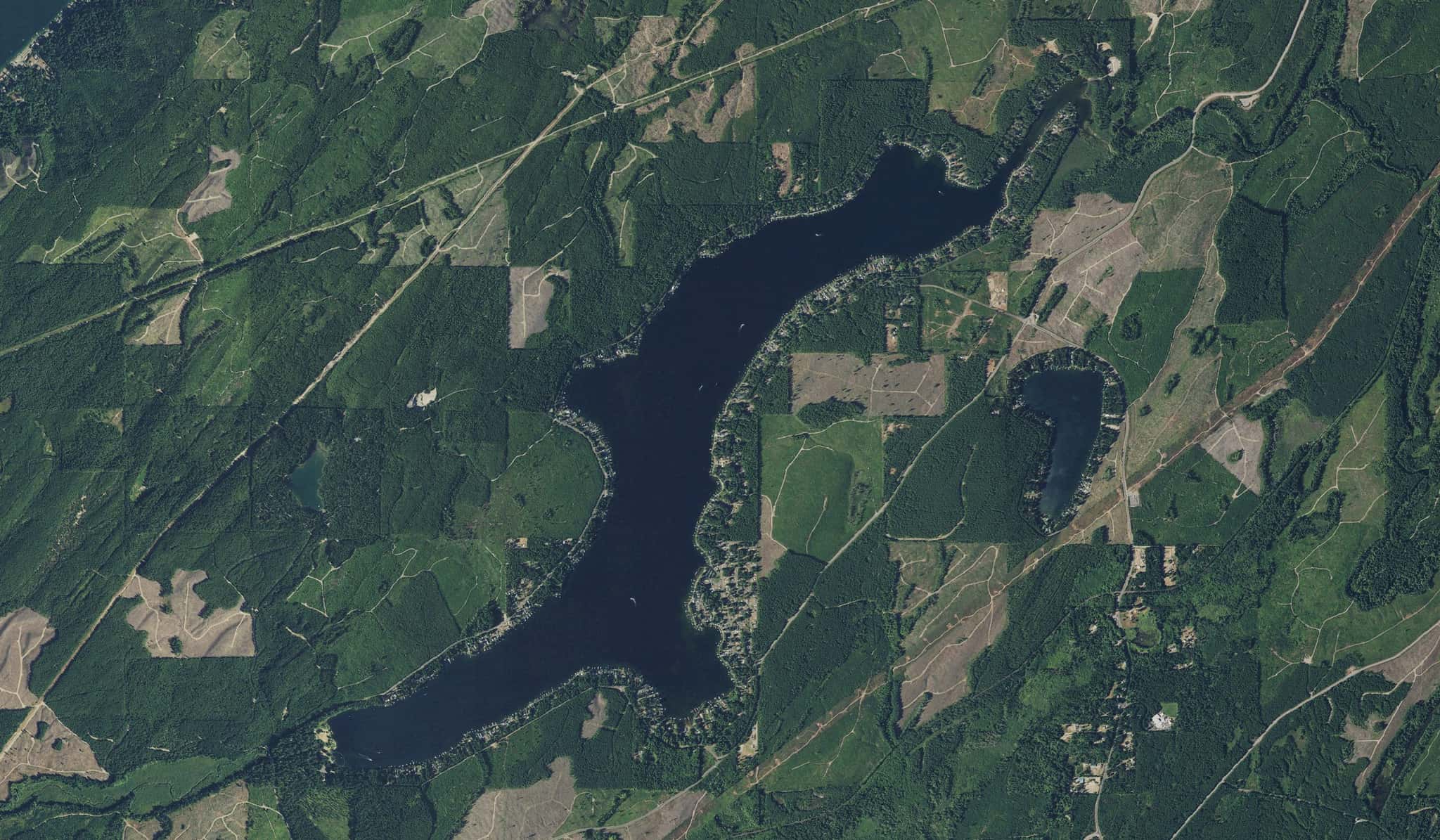
Long Lake
Recorded in Long Lake: Rainbow Trout, Black Crappie, Bluegill, and Largemouth Bass.
Surveyed depths in Long Lake reach 10 ft.
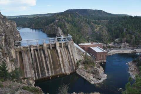
- 4Long Lake: boat ramp on Long Lake, ≈ 5.7 mi from downtown.
Hood Canal
Recorded in Hood Canal: Sand Sole, Coho Salmon, Copper Rockfish, and Brown Rockfish.
Surveyed depths in Hood Canal reach 612 ft.
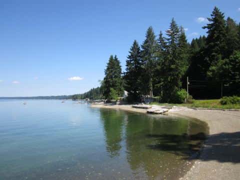
- 7Misery Point: boat ramp on Hood Canal, ≈ 11.5 mi from downtown.
- 8Pleasant Harbor: boat ramp on Hood Canal, ≈ 15.3 mi from downtown.
- 9Point Whitney: boat ramp on Hood Canal, ≈ 17.2 mi from downtown.
- 10Quilcene Marina: boat ramp on Hood Canal, ≈ 19.8 mi from downtown.
- 11Salsbury Point Park: boat ramp on Hood Canal, ≈ 20.2 mi from downtown.
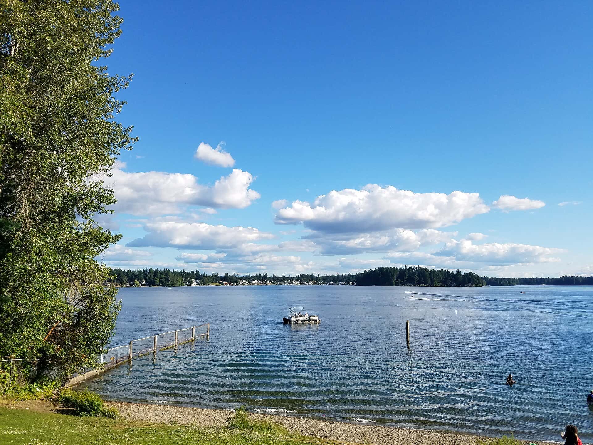
American Lake
Recorded in American Lake: Rainbow Trout, Smallmouth Bass, Pumpkinseed, and Rock Bass.
Surveyed depths in American Lake reach 90 ft.
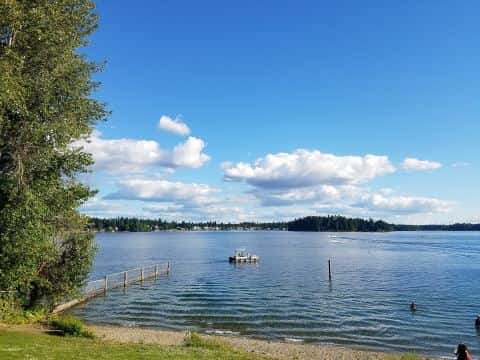
- 12American Lake: boat ramp on American Lake, ≈ 30.7 mi from downtown.
When the fish bite here
By our bite calendar, November is a slow month around Bremerton for the fish recorded at these stops — the bars on each card show when each one picks up.
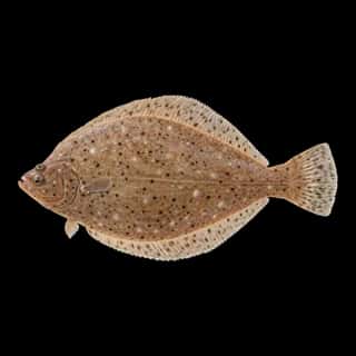 Saltwater
Sand Sole
Psettichthys melanostictus
Pleuronectidae
30 in10 lb5 yr3 watersGame fish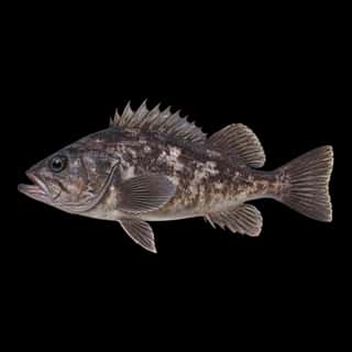 SaltwaterSlow
Black Rockfish
Sebastes melanops
Sebastidae
30 in15 lb20 yr2 watersGame fish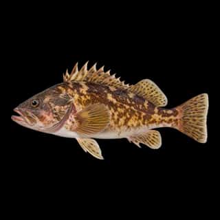 SaltwaterSlow
Brown Rockfish
Sebastes auriculatus
Sebastidae
30 in10 lb20 yr2 watersGame fish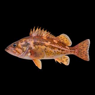 SaltwaterSlow
Copper Rockfish
Sebastes caurinus
Sebastidae
30 in15 lb20 yr3 watersGame fish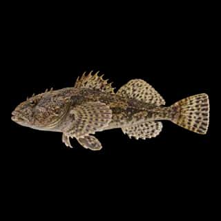 SaltwaterSlow
Prickly Sculpin
Cottus asper
Cottidae
10 in1 lb5 yr4 watersGame fish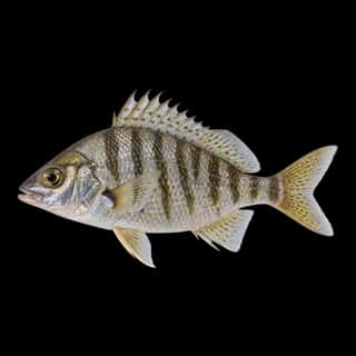 SaltwaterSlow
Shiner Perch
Cymatogaster aggregata
Embiotocidae
10 in1 lb5 yr5 watersGame fish