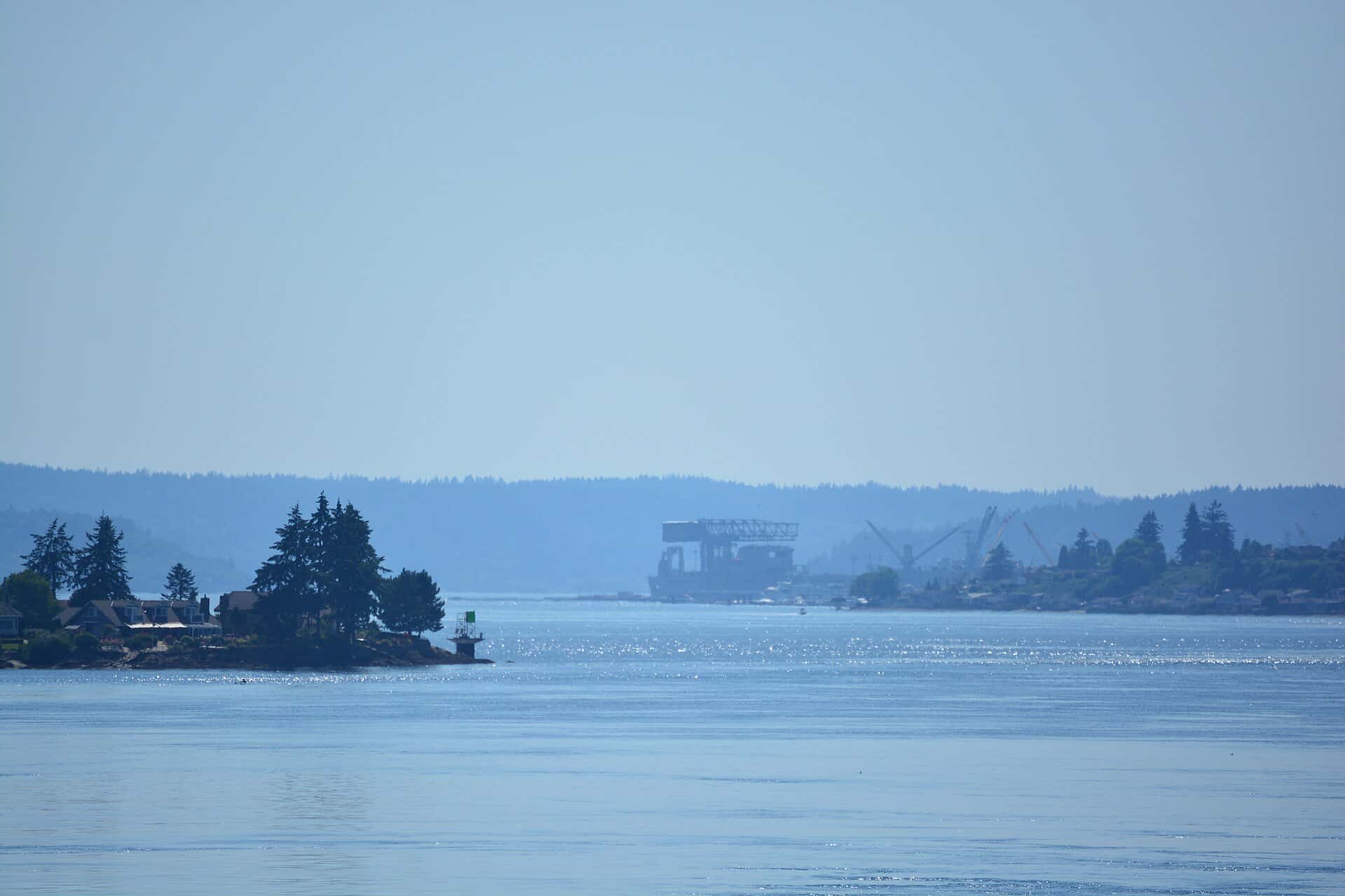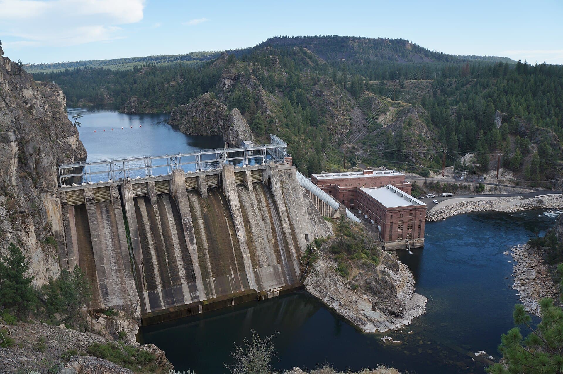
Rainbow Trout is recorded in 7 of the 9 spots within 75 minutes of Bremerton. Below are the strongest of them by our score: drive time, depth data, species and public access.
By our bite calendar, Rainbow Trout peaks around Bremerton in January, February, March, November, and December. In November the calendar puts it at “Peak”.
Where to catch Rainbow Trout near Bremerton
1. Long Lake
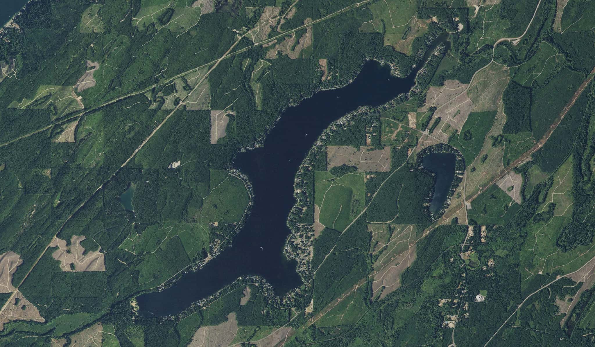
Long Lake is a 21-minute drive from downtown Bremerton. Launch at Long Lake, the public ramp on Long Lake closest to downtown (≈ 5.7 mi). Public access on Long Lake: 1 boat ramp. Surveyed depths reach 10 ft. Recorded here: Rainbow Trout, Black Crappie, Bluegill, and Largemouth Bass.
2. American Lake
American Lake is a 55-minute drive from downtown Bremerton. Launch at American Lake, the public ramp on American Lake closest to downtown (≈ 30.7 mi). Public access on American Lake: 1 boat ramp. Surveyed depths reach 90 ft. Recorded here: Rainbow Trout, Smallmouth Bass, Pumpkinseed, and Rock Bass.
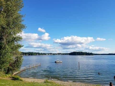
3. Mason Lake
Mason Lake is a 38-minute drive from downtown Bremerton. Surveyed depths reach 90 ft. Recorded here: Rainbow Trout, Cutthroat Trout, Walleye, and Brown Bullhead.
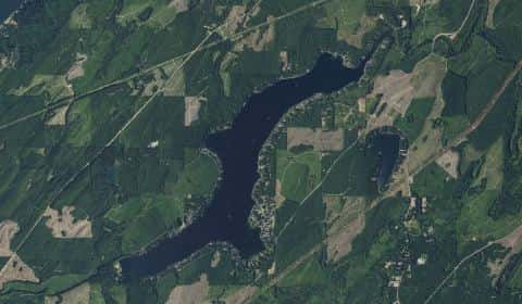
4. Spanaway Lake
Spanaway Lake is a 54-minute drive from downtown Bremerton. Surveyed depths reach 25 ft. Recorded here: Rainbow Trout, Brown Trout, Rock Bass, and Brown Bullhead.
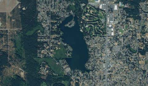
5. Lake Tapps
Lake Tapps is a 62-minute drive from downtown Bremerton. Launch at Allan Yorke Park, the public ramp on Lake Tapps closest to downtown (≈ 33.6 mi). Public access on Lake Tapps: 1 boat ramp. Surveyed depths reach 80 ft. Recorded here: Rainbow Trout, Bluegill, Yellow Perch, and Rock Bass.

6. Long Lake
Launch at Long Lake, the public ramp on Long Lake closest to downtown (≈ 5.7 mi).