
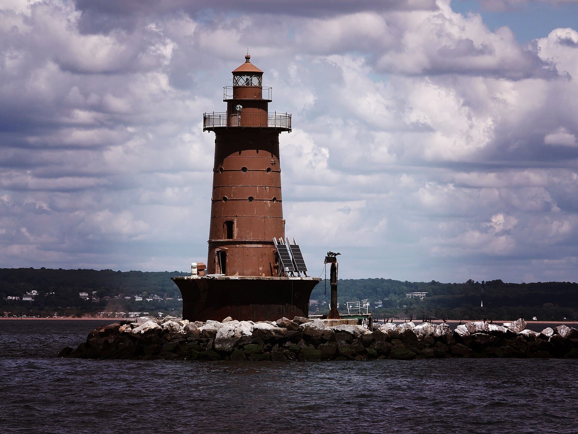
Two days, 4 stops on 4 public waters, all within 75 minutes of Newark. Each stop below has its drive time, its access point and the fish recorded there.
Day 1
Morning: Raritan Bay
Start the day on Raritan Bay, launching from the ramp below.
Raritan Bay is a 29-minute drive from downtown Newark. Launch at Broad St Bay Access, Keyport Borough, the public ramp on Raritan Bay closest to downtown (≈ 20.5 mi). Public access on Raritan Bay: 1 boat ramp and 6 piers. Surveyed depths reach 103 ft. Recorded here: Mummichog, Northern Kingfish, Winter Flounder, and White Mullet.
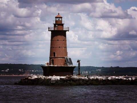
From Broad St Bay Access, Keyport Borough to Lefante Way River Access, Bayonne: 38 min by road (26.3 mi).
Evening: Lefante Way River Access, Bayonne
End the day at Lefante Way River Access, Bayonne — no boat needed.
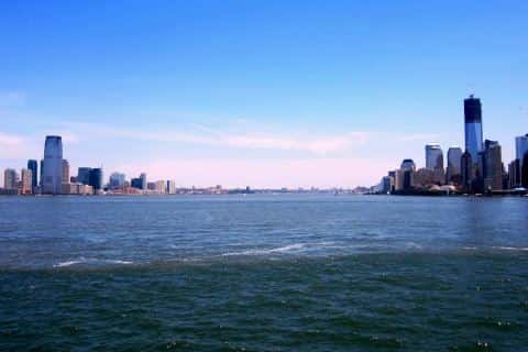
Upper Bay is a 13-minute drive from downtown Newark. Lefante Way River Access, Bayonne: shore access on Upper Bay, ≈ 5.7 mi from downtown. Surveyed depths reach 82 ft. Recorded here: Atlantic Menhaden, Mummichog, Atlantic Croaker, and Inland Silverside.
Day 2
Morning: Mercer County Lake
Start the day on Mercer County Lake.
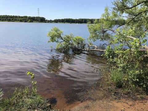
Mercer County Lake is a 60-minute drive from downtown Newark. Recorded here: Bluegill, Largemouth Bass, and Black Crappie.
From Mercer County Lake to Bayside Marina: 97 min by road (71.4 mi).
Evening: Long Island Sound
End the day on Long Island Sound.
Long Island Sound is a 33-minute drive from downtown Newark. Bayside Marina: marina on Long Island Sound, ≈ 21.4 mi from downtown. Public access on Long Island Sound: 10 boat ramps and 14 piers. Surveyed depths reach 383 ft. Recorded here: Atlantic Menhaden, Scup, Mummichog, and Bluefish.
When the fish bite here
By our bite calendar, Bay Anchovy is at peak around Newark in November.
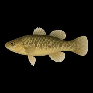 Brackish
Mummichog
Fundulus heteroclitus
Fundulidae
6 in0.5 lb3 yr5 waters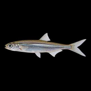 SaltwaterPeak
Bay Anchovy
Anchoa mitchilli
Engraulidae
6 in0.5 lb3 yr4 waters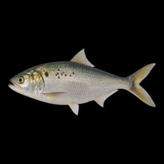 Saltwater
Atlantic Menhaden
Brevoortia tyrannus
Clupeidae
15 in2 lb5 yr3 waters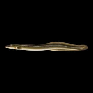 BrackishSlow
American Eel
Anguilla rostrata
Anguillidae
60 in8 lb20 yr21 watersGame fish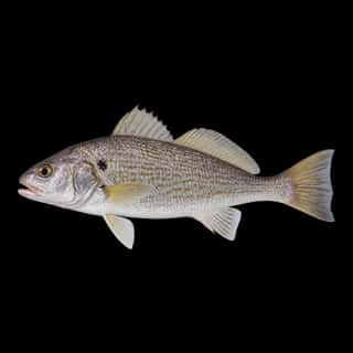 SaltwaterSlow
Atlantic Croaker
Micropogonias undulatus
Sciaenidae
24 in5 lb5 yr4 watersGame fish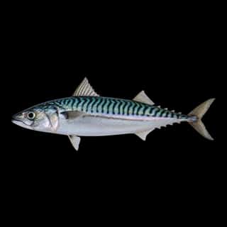 SaltwaterSlow
Atlantic Mackerel
Scomber scombrus
Scombridae
30 in5 lb10 yr1 waterGame fish



