Lake Manawa fishing: Walleye, Blue Catfish, Channel Catfish
Target species: Walleye, Blue Catfish, Channel Catfish, Sunshine Bass
The lake
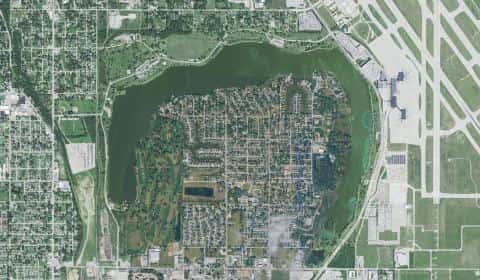
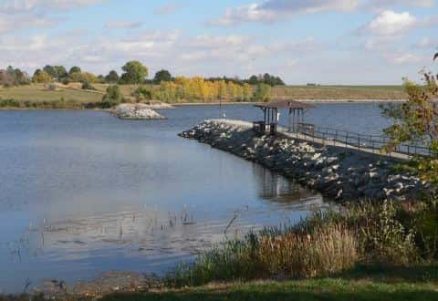
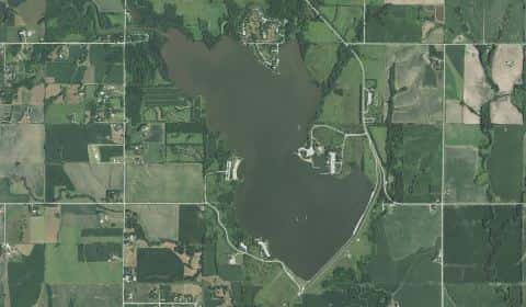
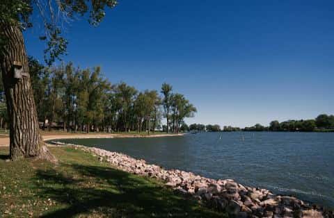
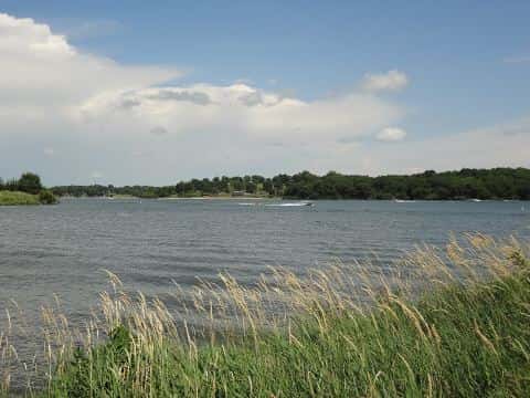
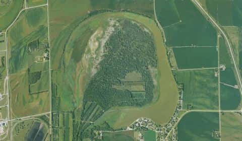
Lake Manawa covers 744 acres in Iowa, across Pottawattamie County. It is a lake: 93.5% of it is 12 feet deep or less; the deepest point measured is at least 21 feet (6.4 m). Our records hold 5 species for this water.
Stocking: 13,684,197 fish, 2012–2025
Iowa DNR records list 13,684,197 fish released into this water from 2012 to 2025.
- Walleye: 13,562,169 in 2012–2025
- Channel Catfish: 19,921 in 2013–2023
- Blue Catfish: 11,141 in 2021–2023
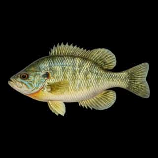
One more species on the stocking list.
Depth and bottom
Deepest measured point: at least 21 ft (6.4 m). That is the deepest contour line: the bottom goes deeper. 93.5% of the water is 12 feet or shallower. We hold 29 depth contour lines for this water.
- 0–2 ft: 5.2% of the water
- 2–4 ft: 10.8% of the water
- 4–6 ft: 15.1% of the water
- 6–8 ft: 46.5% of the water
- 8–10 ft: 11.2% of the water
- 10–12 ft: 4.7% of the water
- 12–14 ft: 4.2% of the water
- 14–16 ft: 2.1% of the water
- 16–18 ft: 0.3% of the water
4 target fish, led by Walleye
- Walleye — Feeding water: 50–75°F.
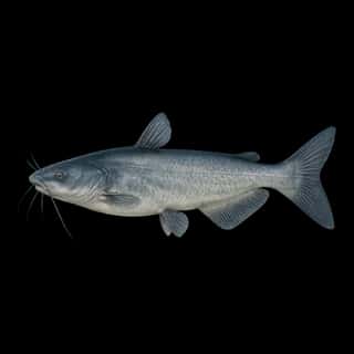
- Blue Catfish — Feeding water: 70–85°F.
- Channel Catfish — Feeding water: 70–85°F.
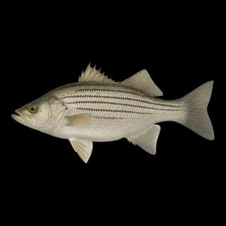
- Sunshine Bass — Feeding water: 70–80°F. Nonnative.
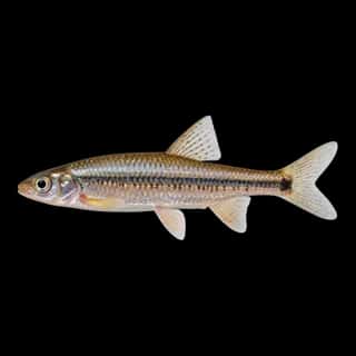
Also recorded here: Spottail Shiner.
Water and conditions
Our water temperature readings average 79°F; they do not cover the whole year, so this is not a yearly average. pH averages 8.6. These readings span 2017–2024.
What is hard here
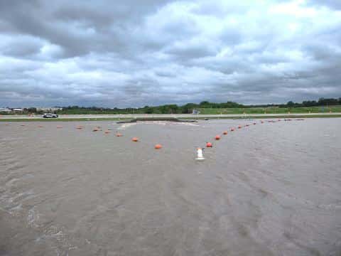
With 93.5% of the water 12 feet or less, low level turns the flats into hazards.
Where this data comes from
- Iowa DNR — Iowa DNR: depth contours: class A, a survey of the bottom.
- Webster, K.E., McCullough, I.M., Soranno, P.A. LAGOS-US DEPTH v1.0, EDI, doi:10.6073/pasta/64ddc4d04661d9aef4bd702dc5d8984f (CC BY 4.0); Cheruvelil et al. LAGOS-US LOCUS v1.0 (EDI) — LAGOS-US DEPTH v1.0: Lake depth for 17,675 lakes in the conterminous U.S.: class B, a depth figure measured and published by an agency, without a bottom map.